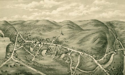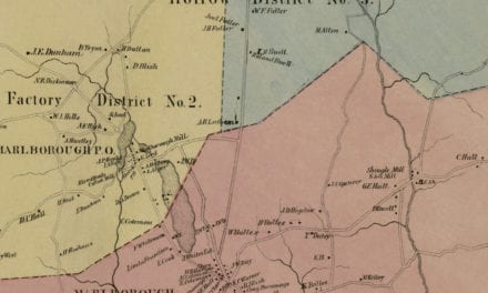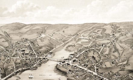
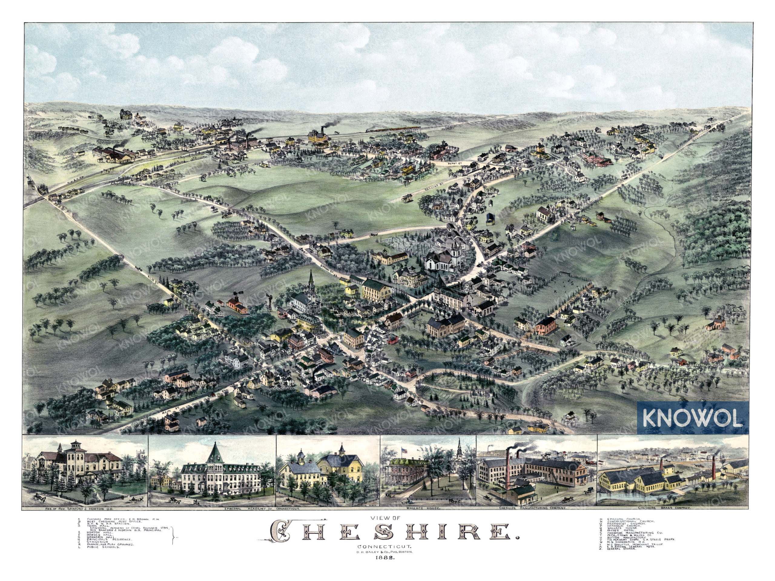
This historic map of Cheshire, Connecticut was created in 1882 by O.H. Bailey, a prominent 19th century map maker. The map shows a bird’s eye view of the town as it used to be, including street names and old landmarks.
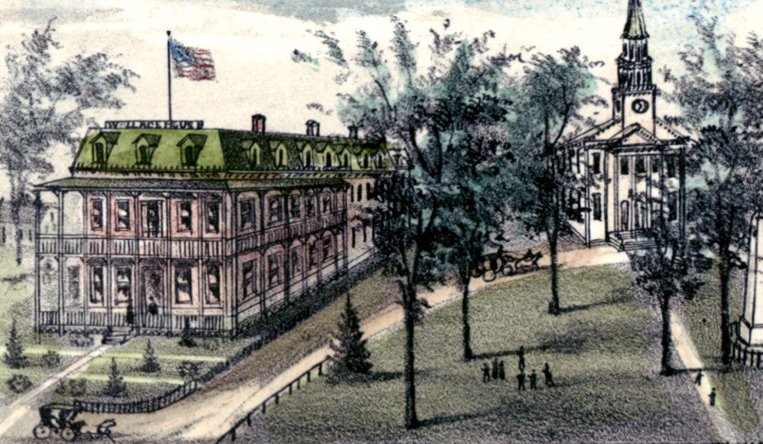
Landmarks on the map include Cheshire Academy, Cheshire Brass Company, Payne’s Hotel, The Academy Store, Wallace House, Parade & Play Grounds, Cheshire Manufacturing, Town Hall, Post Office, Episcopal Academy of Connecticut, and more.
This historic map of Cheshire, CT has been restored by KNOWOL. Reproductions of the restored map are available here.
Historic Old Map of Cheshire, Connecticut from 1882
This vintage map of Cheshire makes an attractive addition to your office, library, or den, and can even be used to teach children the geography and history of the area. When you’re done exploring, click here to get your copy of the restored map.