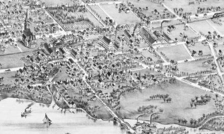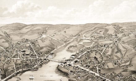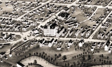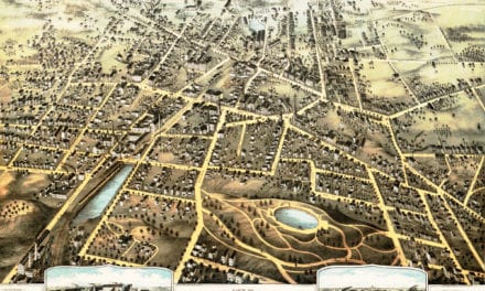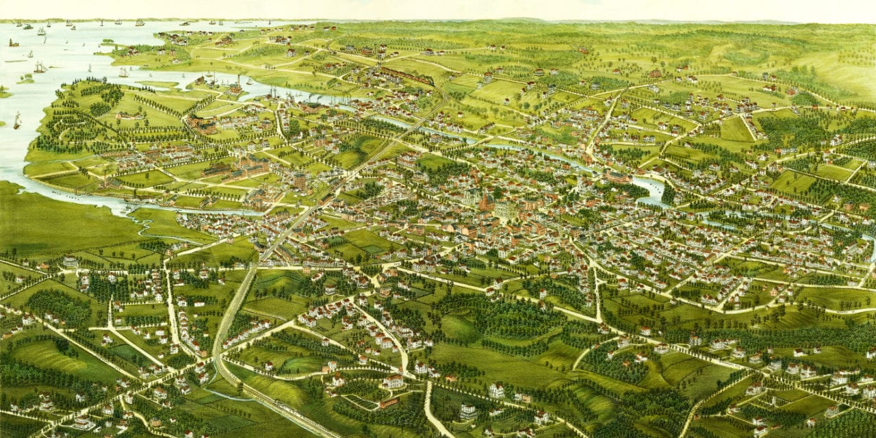
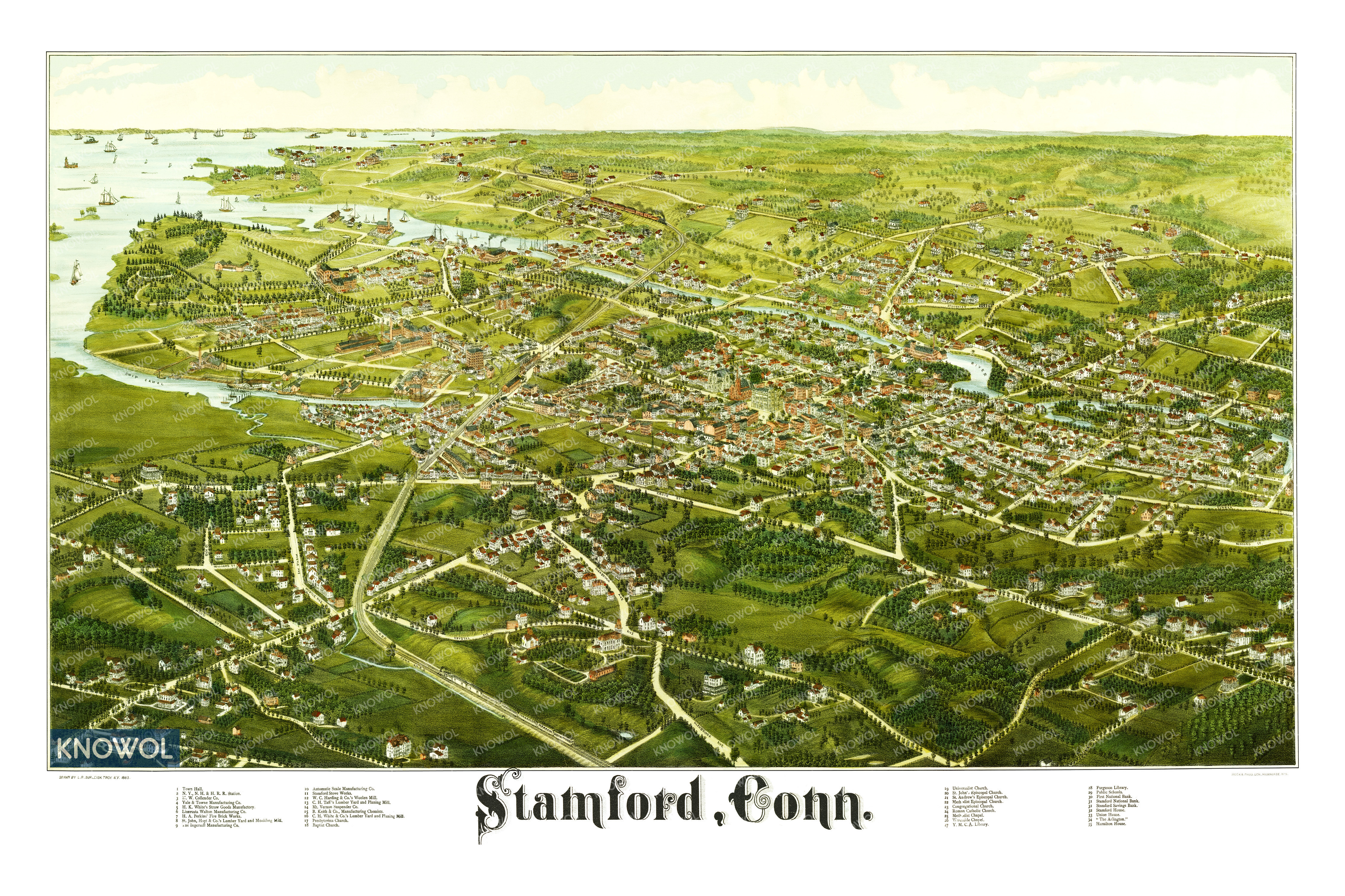
This map of Stamford, Connecticut was created in 1883 by Lucien R. Burleigh, an artist and cartographer who spent much of his life traveling across America creating detailed bird’s eye view maps of small towns and their landmarks.
The map highlights prominent residences and buildings in Stamford at the time, including the New York, New Haven & Hartford Railroad Station, H.A. Perkins’ Fire Brick Works, Automatic Scale Manufacturing Co., Stamford Stove Works, The Arlington and more.
This vintage map of Stamford has been restored by the team at KNOWOL. Reproductions are available here.
Click here to see the map of Stamford in 1883.
This old map of Stamford will make an attractive addition to your office, library, or den, and can even be used to teach children the geography and history of the area. When you’re done exploring, click here to get your copy.