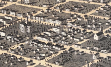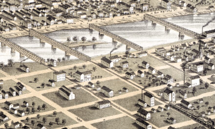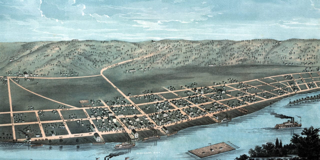
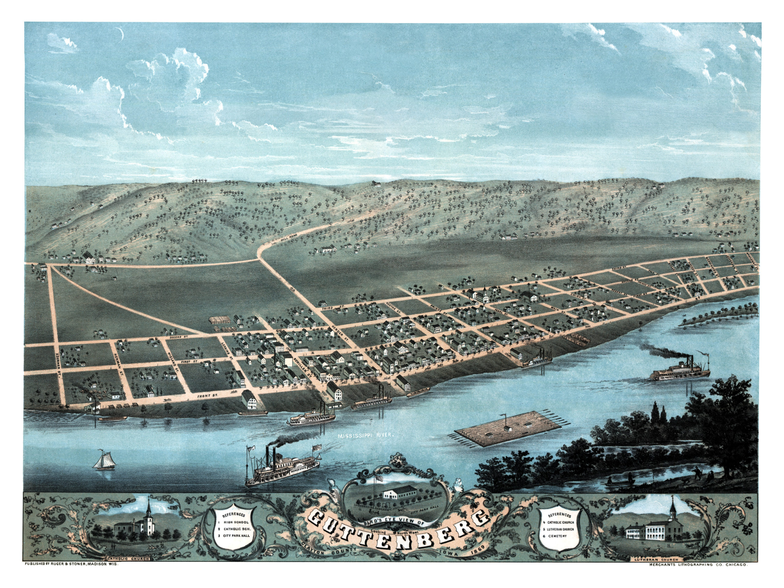
This map of Guttenberg, Iowa was created in 1869 by Ruger & Stoner, prominent 19th century map makers. The map shows a detailed bird’s eye view of Guttenberg as it was, including street names and old landmarks.
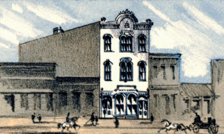
Guttenberg landmarks on the map include City Park Hall, Guttenberg High School, Catholic School, Lutheran Church, Catholic Church, Cemetary and the Mississippi River.
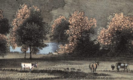
Guttenberg’s riverfront location was pivotal in its early commercial development. The earliest businesses included general supply stores, blacksmith, wagon shops, and hotels.
This historic map of Guttenberg has been restored by KNOWOL. Reproductions of the map are available here.
Click here to see Guttenberg, Iowa in 1869
This map of Guttenberg will make an attractive addition to your office, library, or den and can even be used to teach children the geography and history of the area. When you’re done exploring, click here to get your copy.