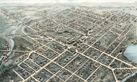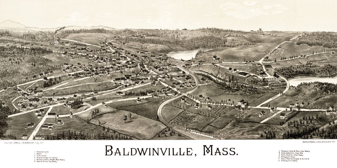
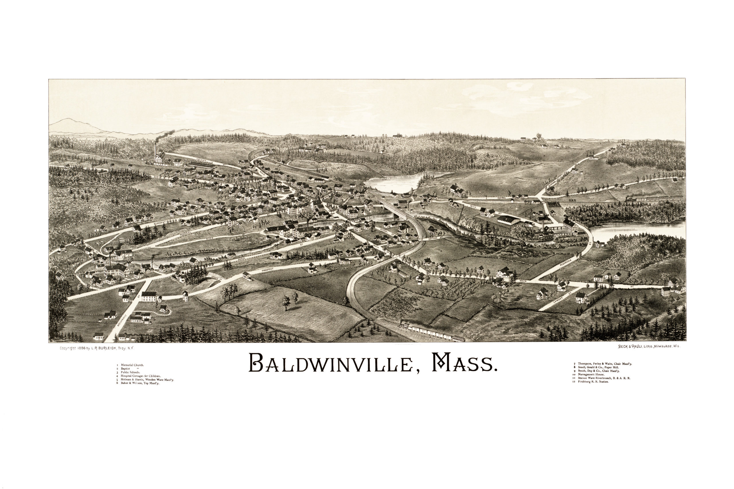
This map of Baldwinville, Massachusetts was created by Lucien R. Burleigh in 1886, and provides a bird’s eye view of the town as it looked in the late 19th century.
The streets of Baldwinville are labeled, as are landmarks such as Baker & Wilson Toys, Narragansett House, and the Fitchburg Railroad Station.
This vintage map of Baldwinville has been restored by the team at KNOWOL. Reproductions are available here.
Click here to see the full map.
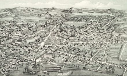
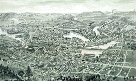
 This old map of Baldwinville will make an attractive addition to your office, library, or den, and can even be used to teach children the geography and history of the island. When you’re done exploring, click here to get your copy.