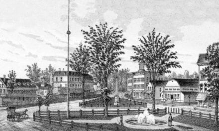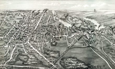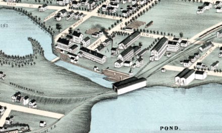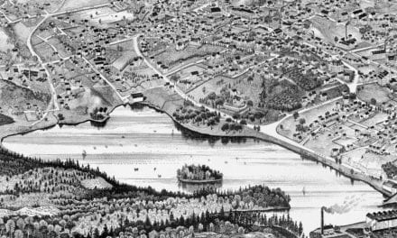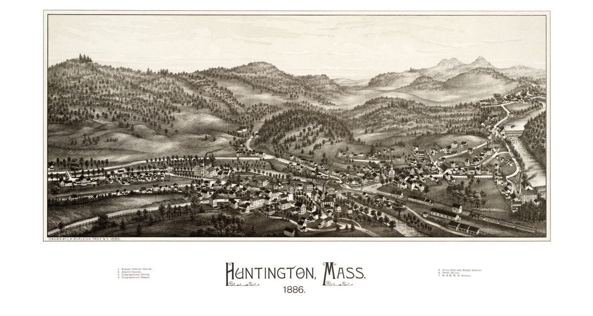
This beautiful hand drawn map of Huntington, Mass was created by Hughes & Bailey Publishers in 1886. The map shows a bird’s eye view of Huntington, MA surrounded by hand drawn pictures of historic Huntington landmarks.
The map includes a 19th century view of Huntington Town Hall, Public Schools, B&A Railroad Station, Parks House, and Roman Catholic, Baptist, and Congregational Churches.
This old map of Huntington, MA has been restored by KNOWOL. Reproductions of the map are available here.
Click here to see the full map.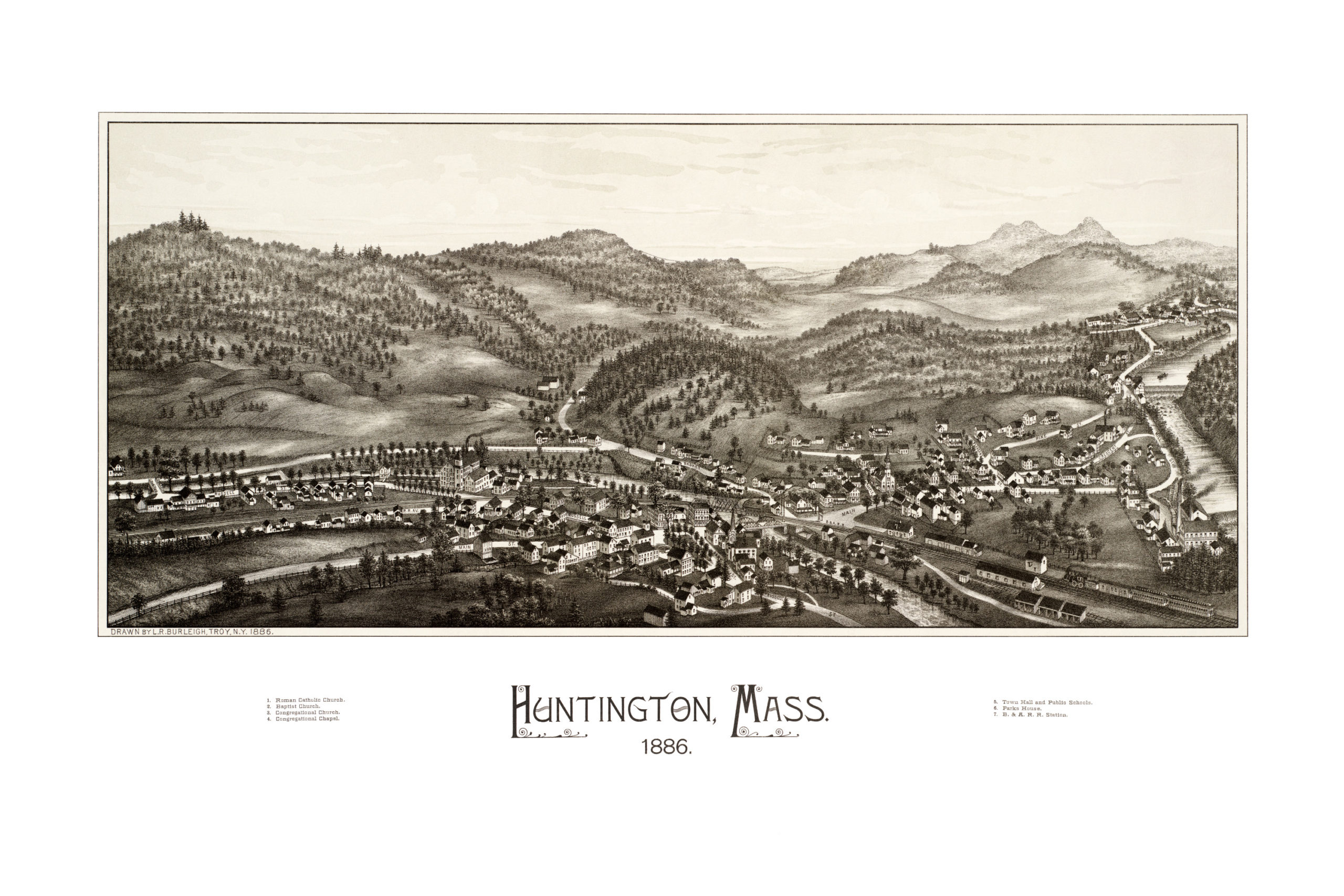
This old map of Huntington will make an attractive addition to your office, library, or den, and can even be used to teach children the geography and history of the area. When you’re done exploring, click here to get yours!