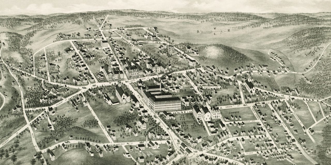
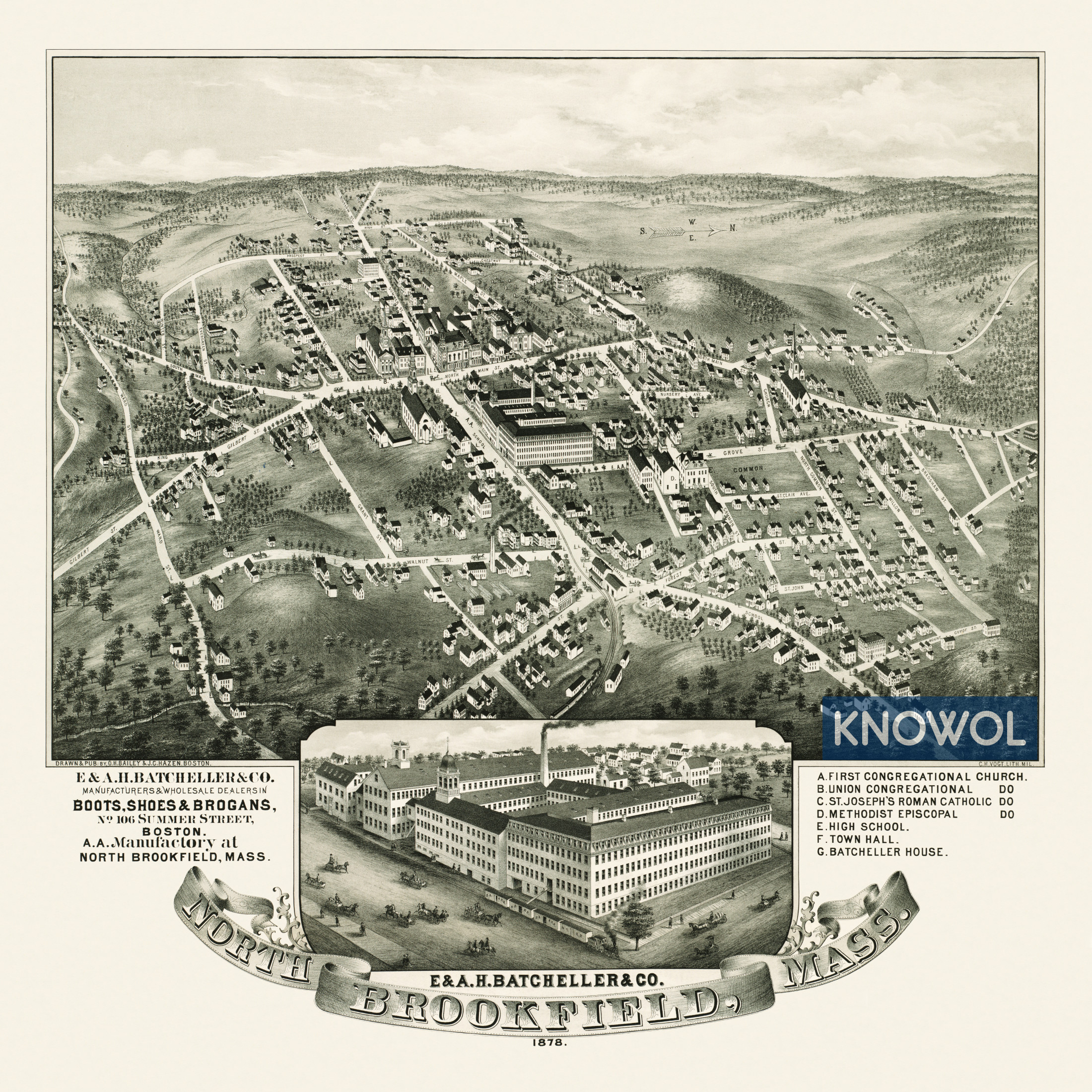
This map of North Brookfield, Massachusetts was created in 1878 by O.H. Bailey and J.C. Hazen, prominent 19th century map makers. The map shows a bird’s eye view of North Brookfield including street names and old landmarks.
The map was created as an advertising tool for E & A.H. Batcheller & Company, which at the time was the largest shoe factory in the country. Other landmarks on the map include First Congregational Church, St. Joseph’s Roman Catholic Church, North Brookfield High School, Town Hall, and Batcheller House.
This historic map of North Brookfield has been restored by KNOWOL. Reproductions of the map are available here.
Bird’s Eye View of North Brookfield, MA in 1878
This map of North Brookfield, MA will make an attractive addition to your office, library, or den and can even be used to teach children the geography and history of the area. When you’re done exploring, click here to get your copy.