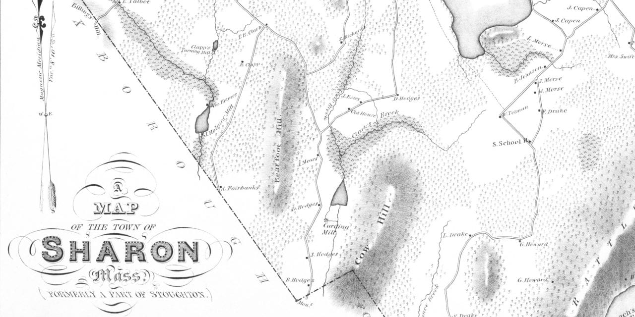
This map of Sharon, Massachusetts was created in 1831. The plan was made under the direction of the town, and drawn from a survey by Elijah Hewins, a lifelong Sharon resident. Hewins was a deacon in the Baptist Church and one of Sharon’s leading and most influential members.
The map includes local landmarks such as Rattlesnake Hill, Wolomolopog Pond, Massapog Pond, Clapp’s Turning Mill, Leach’s Reservoir Pond, Cow Hill, Johnson’s Boarding House, Sharon Cot Factory, a Paint Mill, and more.
This historic map of Sharon, MA has been restored by KNOWOL. Reproductions of the map are available here.
Map of Sharon, Massachusetts in 1831
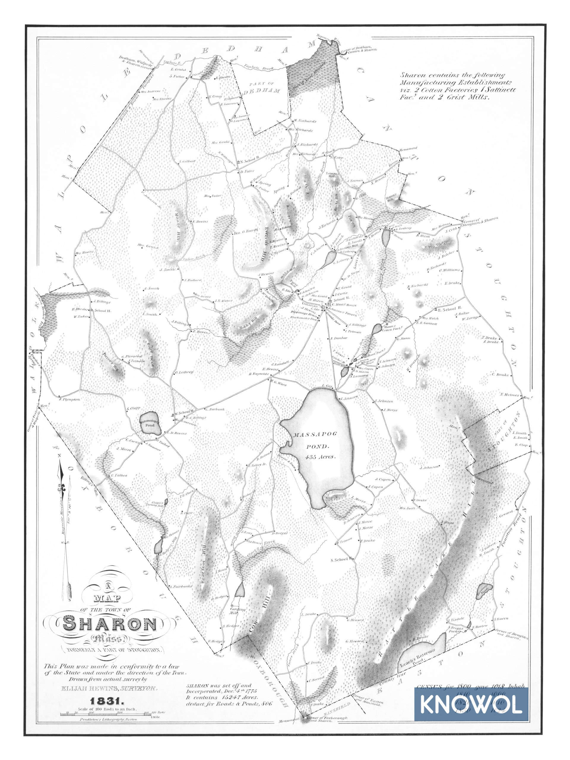
A historical note on the map reads: “Sharon was set off and incorporated, Dec 4th 1775. It contains 15,247 acres. Deduct for roads & ponds, 806.” The map also includes census info from 1800, 1810, 1820, and 1830.
This historic map of Sharon will make an attractive addition to your office, library, or den and can even be used to teach children the geography and history of the area. When you’re done exploring, click here to get your copy.