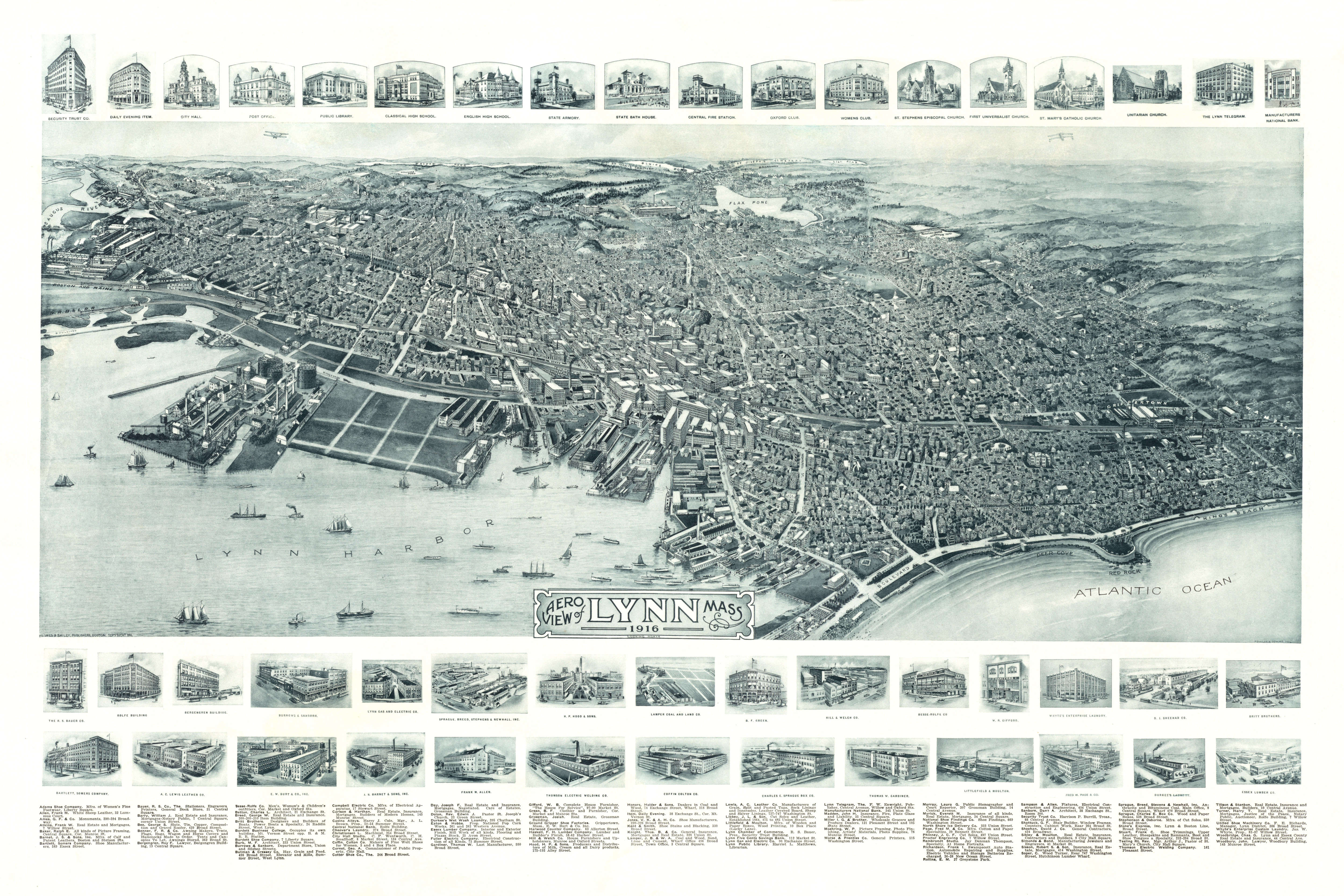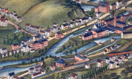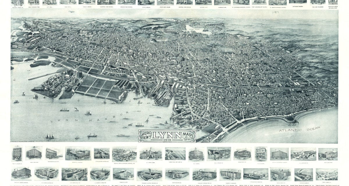
This map shows Lynn, Massachusetts as it looked in 1916. At the time approximately 90,000 people lived in Lynn, which is similar to the population in 2017.
The map was created by Fowler & Downs and then carefully restored by KNOWOL. Reproductions are for sale here and you can also explore the full size version below for free.
The map has an entire directory of Lynn landmarks including the State Armory, State Bath House, Central Fire Station, Oxford Club, and St. Stephen’s Episcopal Church.
Click here to see a high resolution scan of the map.