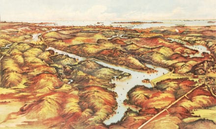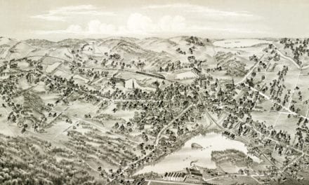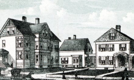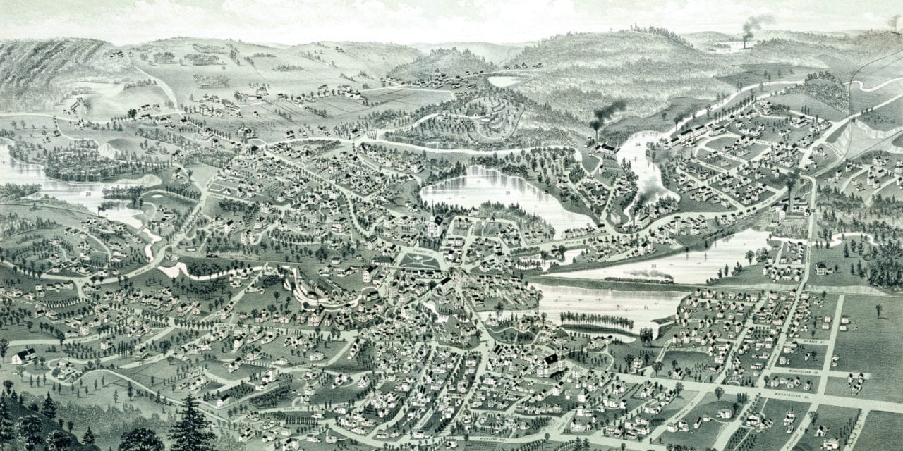
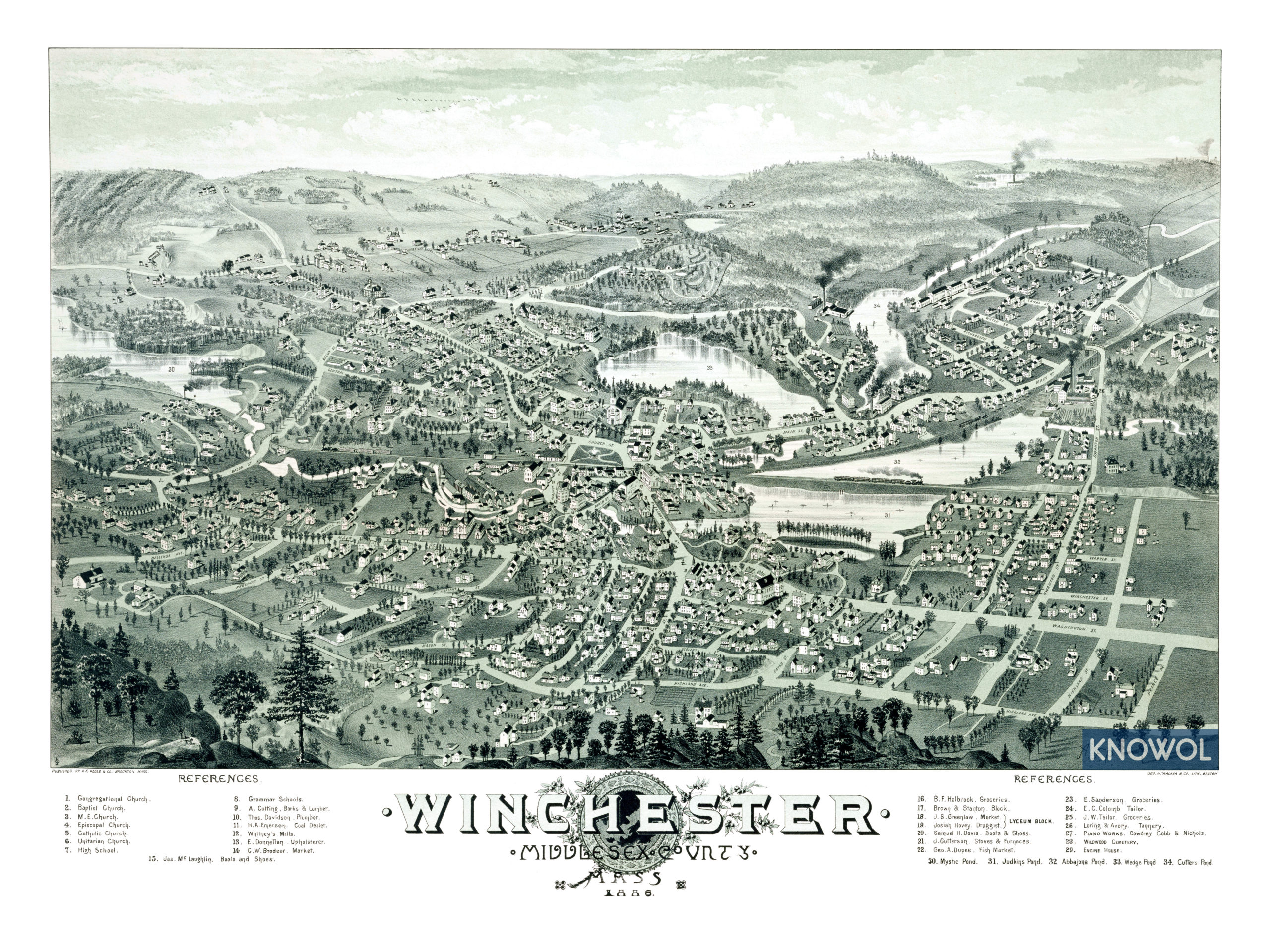
This map of Winchester, Massachusetts was created in 1886 by A.F. Poole and George Walker, prominent 19th century map makers. The map shows a bird’s eye view of town as it was, including street names and old landmarks.
Landmarks on the map include Wedge Pond, Whitney’s Mills, Emerson Coal, Holbrook Groceries, Lyceum Block, Dupee Fish Market, Wildwood Cemetary, Mystic Pond, Sanderson’s Groceries, Cowdrey Cobb & Nichols Piano Works, Gutterson Stoves & Furnaces, and more.
This historic map of Winchester has been restored by KNOWOL. Reproductions of the map are available here.
Click here to see Winchester, MA in 1886
This map of Winchester will make an attractive addition to your office, library, or den and can even be used to teach children the geography and history of the area. When you’re done exploring, click here to get your copy.