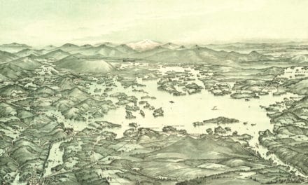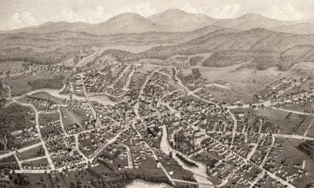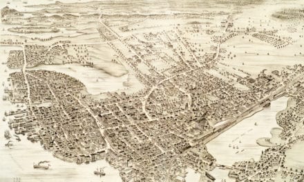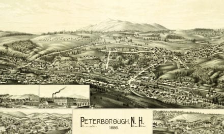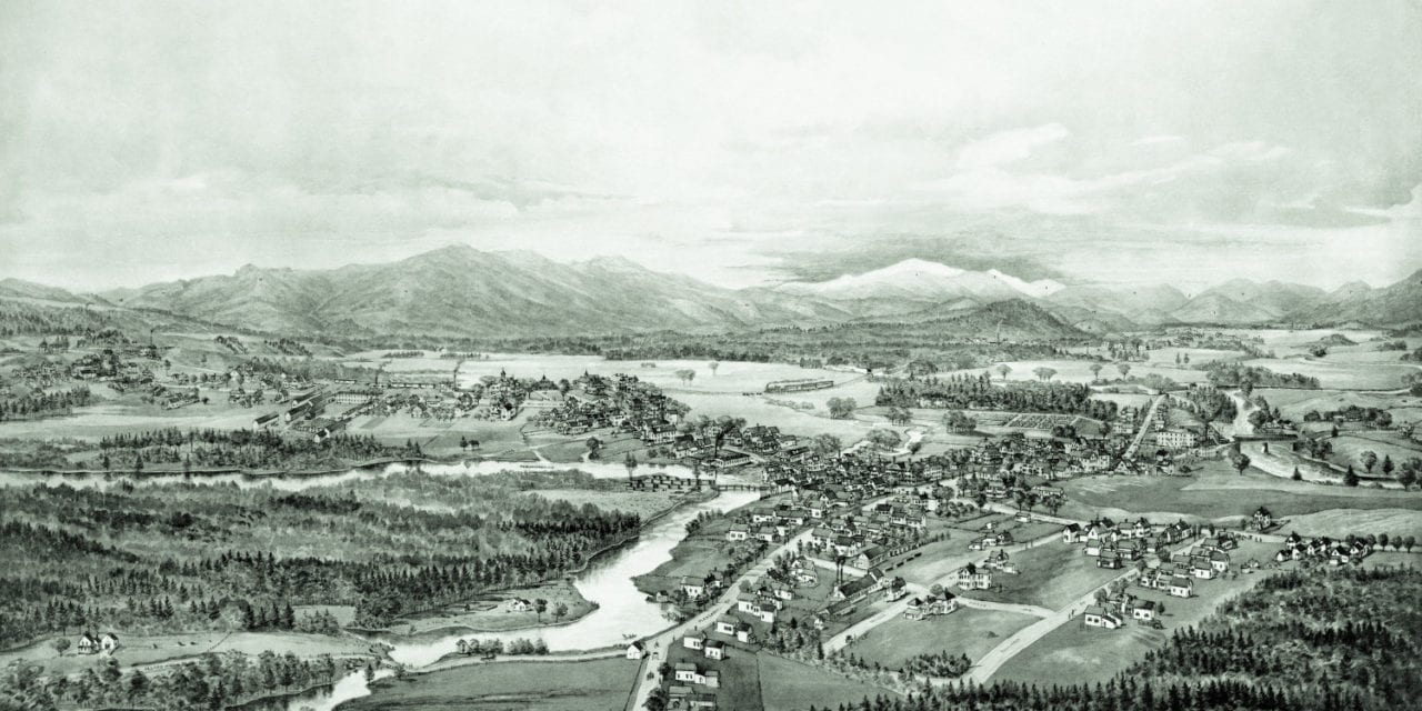
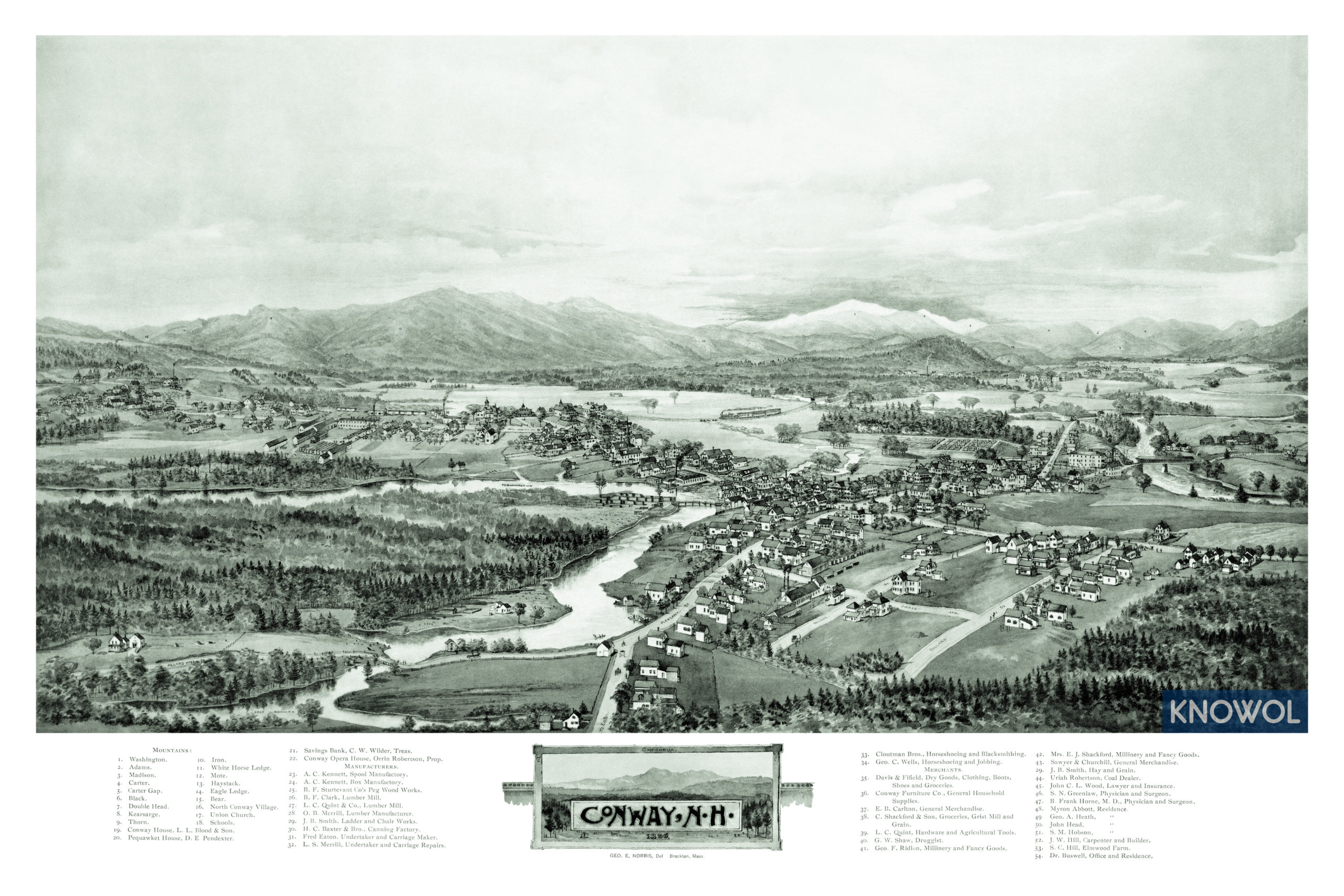
This map of Conway, New Hampshire was created in 1896 by George Norris, a prominent 19th century map maker. The map shows a bird’s eye view of Conway as it was, including street names and old landmarks.
Landmarks on the map include North Conway Village, Conway Opera House, Pequawket Hotel, Kennett Spool Manufactory, Clark Lumber Mill, Smith Ladder and Chair Works, Elmwood Farm, Shackford & Son Groceries, and more. The map legend also identifies 15 mountains which can be seen in the distance.
This historic map of Conway, NH has been restored by KNOWOL. Reproductions of the map are available here.
Click here to see Conway, New Hampshire in 1896
This historic map of Conway will make an attractive addition to your office, library, or den and can even be used to teach children the geography and history of the area. When you’re done exploring, click here to get your copy.