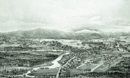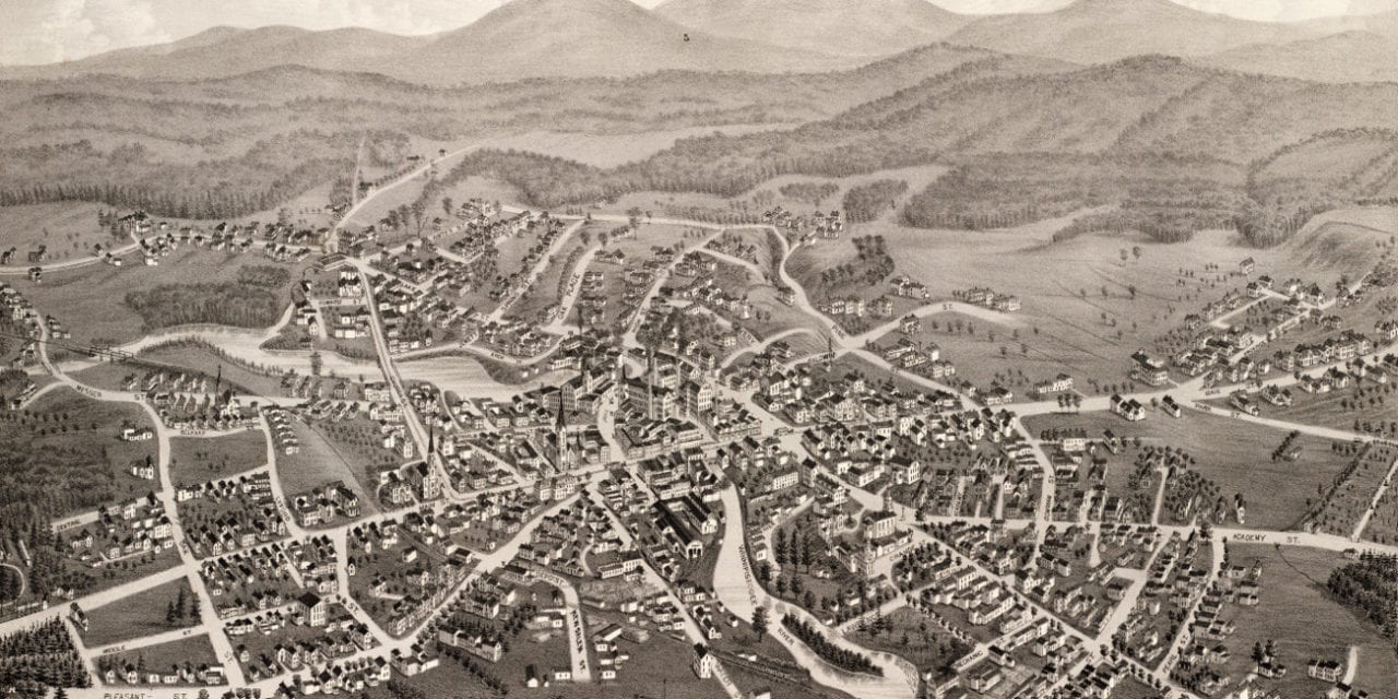
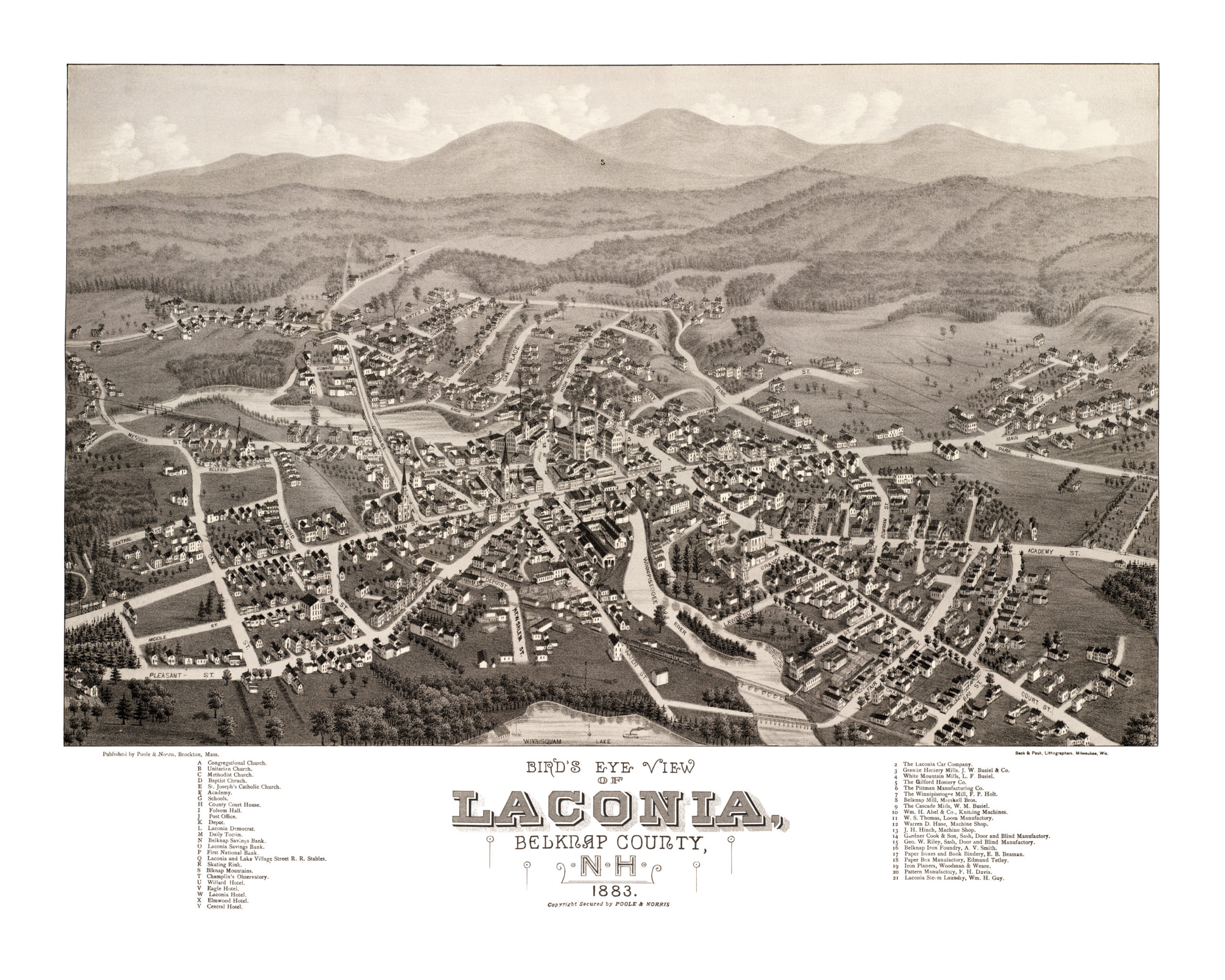
This map of Laconia, New Hampshire was created in 1883 by Lucien R. Burleigh, an artist who spent much of his career visiting small towns across America and creating detailed maps of what he saw. His hand drawn map of Laconia captured the town as it looked at the end of the 19th century, when Laconia had less than 4,000 residents.
Laconia landmarks on the map include Belknap Mill, Laconia Car Company, and the Boston, Concord and Montreal Railroad. The Belknap Mill, built in 1823 and operating since 1828, still stands today. The mill is on the National Register of Historic Places as the oldest unaltered brick textile mill in the country.
The Laconia Car Company built rail, trolley and subway cars and was the city’s largest employer from 1848 until it closed in the 1930’s. The railroad came to Laconia in 1849, carrying both freight and summer tourists to popular Weirs Beach.
This vintage map of Laconia, NH has been restored by KNOWOL. Reproductions of the map are available here.
Click here to see the full map of Laconia.
This old map of Laconia will make an attractive addition to your office, library, or den, and can even be used to teach children the geography and history of the area. When you’re done exploring, click here to get your copy!