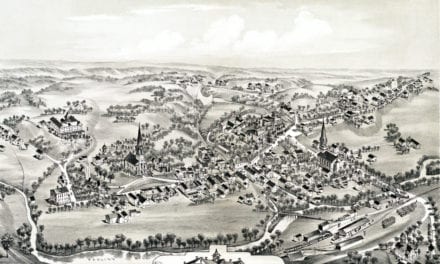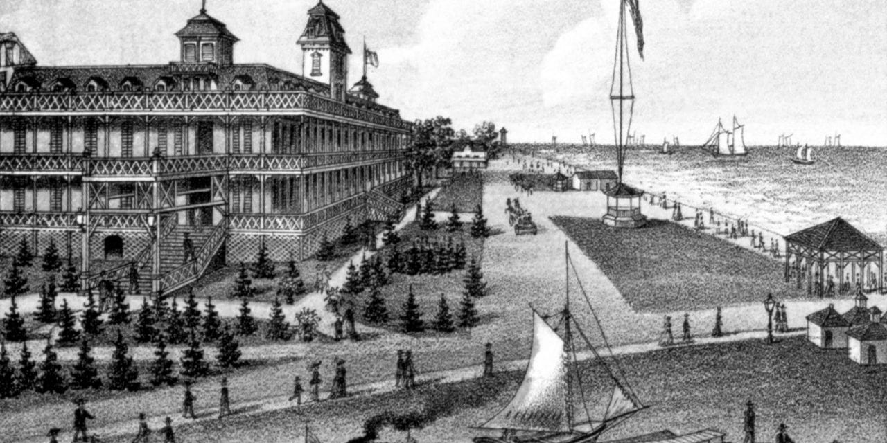
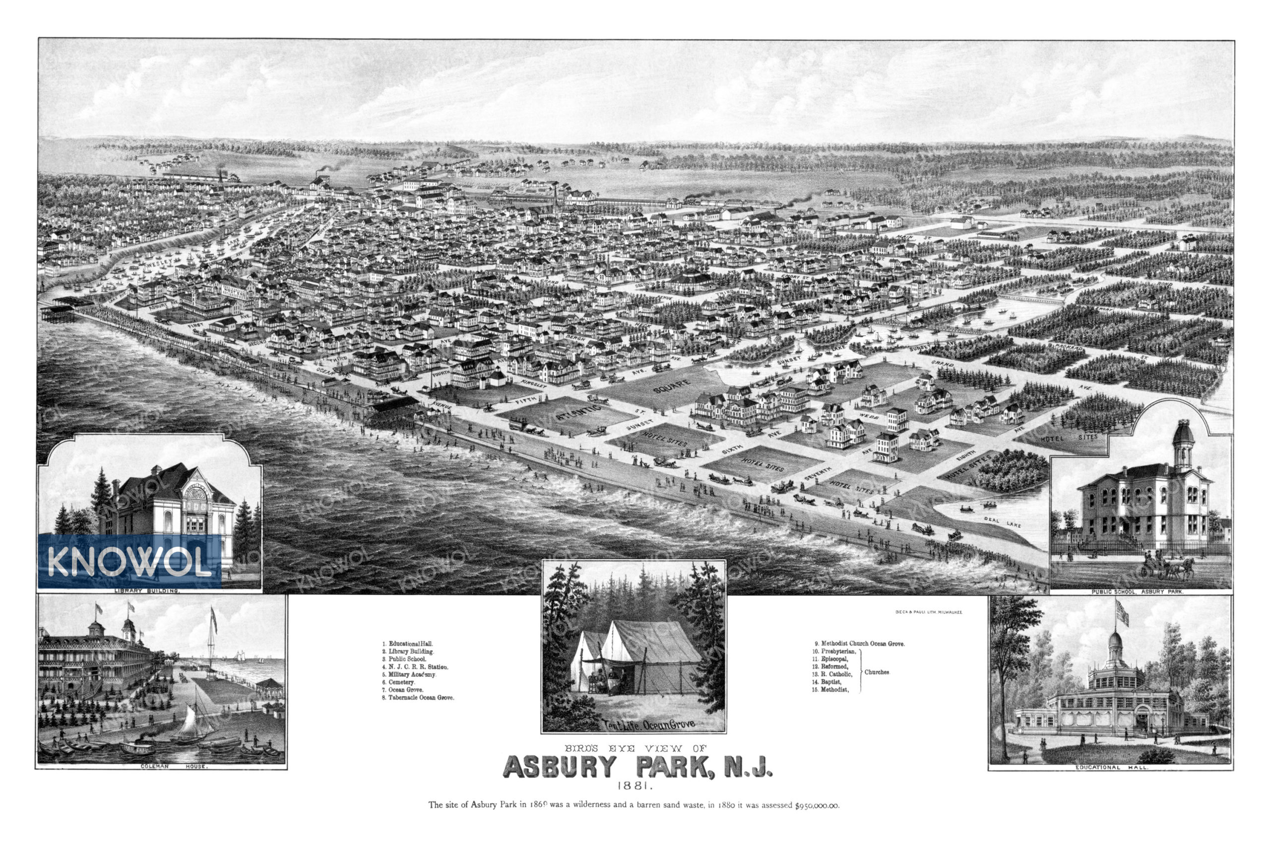
This historic map of Asbury Park, New Jersey was created in 1881 by Beck & Pauli, prominent 19th century lithographers. The bird’s eye view map shows the area as it used to be, including street names and old landmarks.
Landmarks on the map include Educational Hall, Military Academy, Ocean Grove, Coleman House, Asbury Park Public School, and Presbyterian, Episcopal, Roman Catholic, Baptist, and Methodist Churches. An inlaid image shows a scene of early tent life on the beaches of Ocean Grove.
This historic map of Asbury Park has been restored by KNOWOL. Reproductions of the restored map are available here.
Historic Old Map of Asbury Park, New Jersey from 1881
This vintage map of Asbury Park makes an attractive addition to your office, library, or den, and can even be used to teach children the geography and history of the area. When you’re done exploring, click here to get your copy of the restored map.