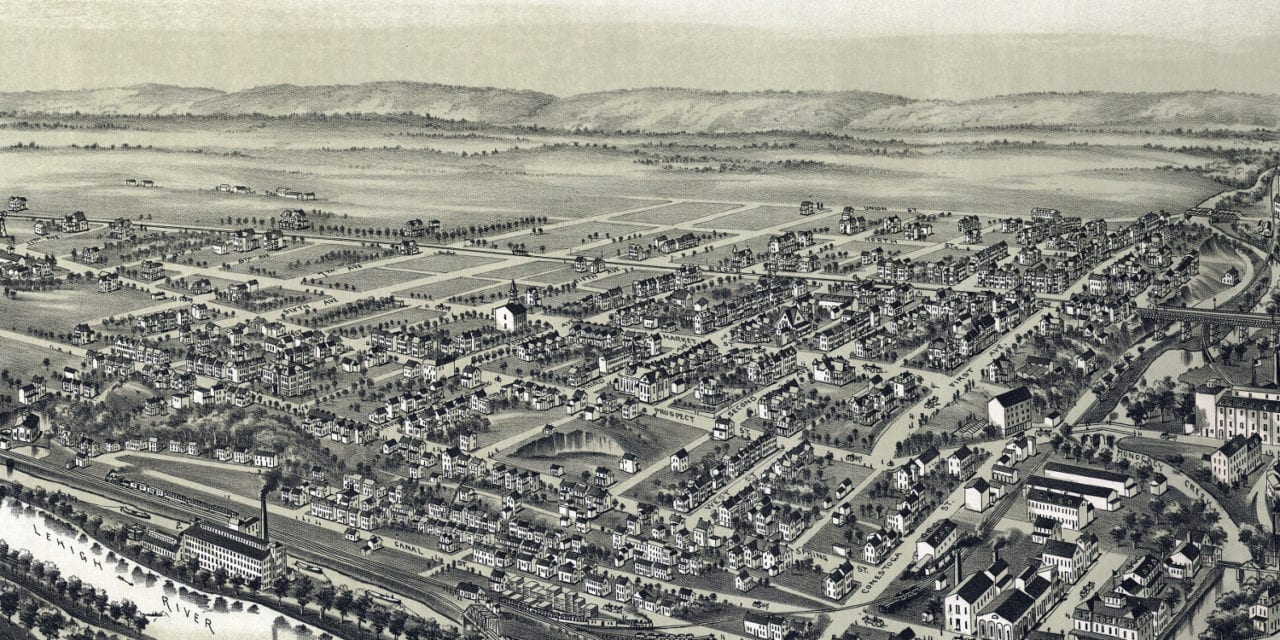
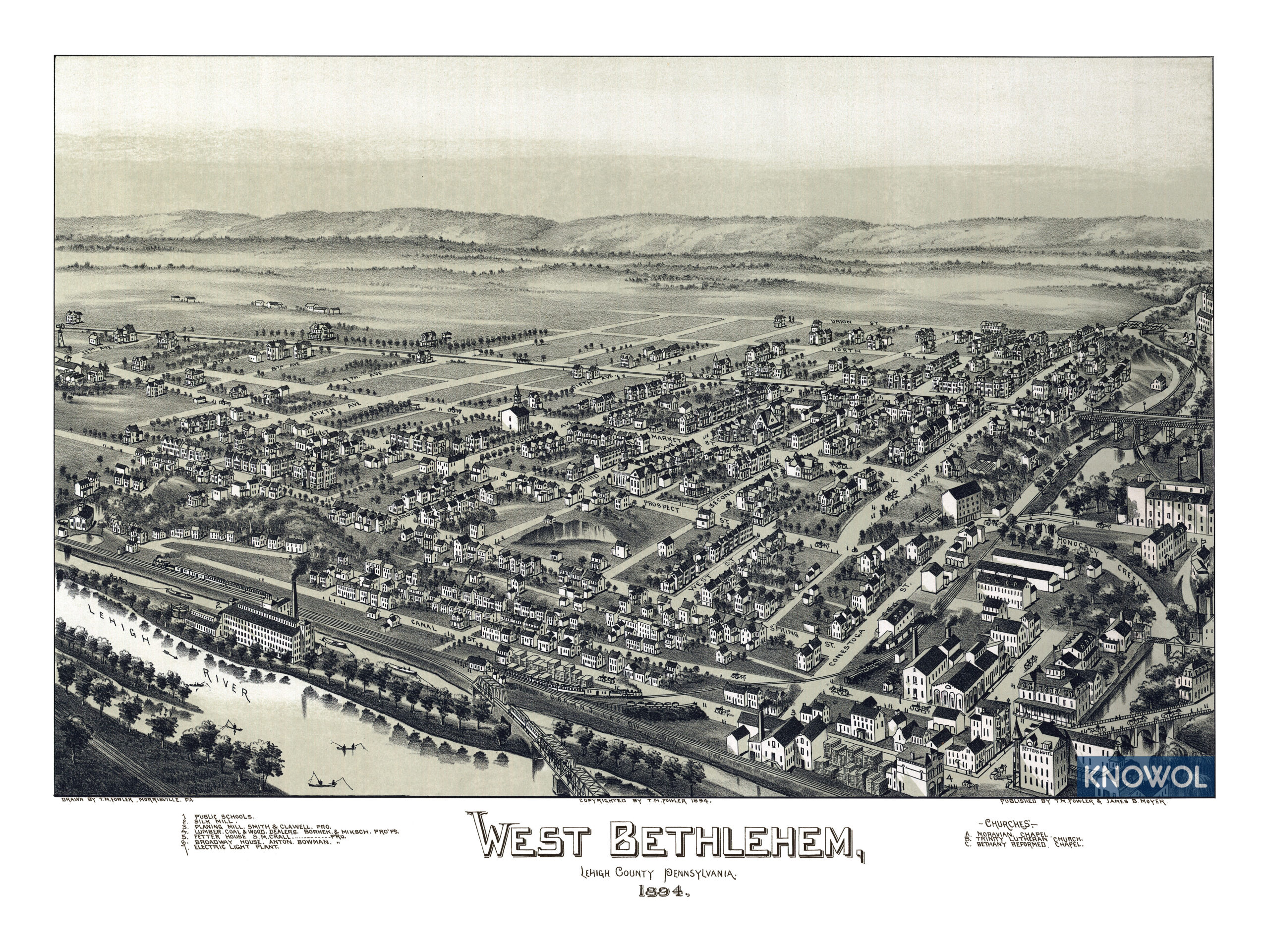
This map of West Bethlehem, Pennsylvania was created in 1894 by T.M. Fowler and James B. Moyer, a prominent duo of 19th century map makers. The map shows a bird’s eye view of Bethlehem as it was, including street names and old landmarks.
Old West Bethlehem landmarks on the map include the Broadway Hotel, Electric Light Plant, Silk Mill, Planing Mill, Fetter House, Moravian Chapel, Trinity Lutheran Church, Bethany Reformed Chapel, and more.
This historic map of West Bethlehem, PA has been restored by KNOWOL. Reproductions of the map are available here.
Map of West Bethlehem, Pennsylvania in 1894
This historic map of West Bethlehem, PA will make an attractive addition to your office, library, or den and can even be used to teach children the geography and history of the area. When you’re done exploring, click here to get your copy.