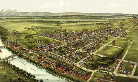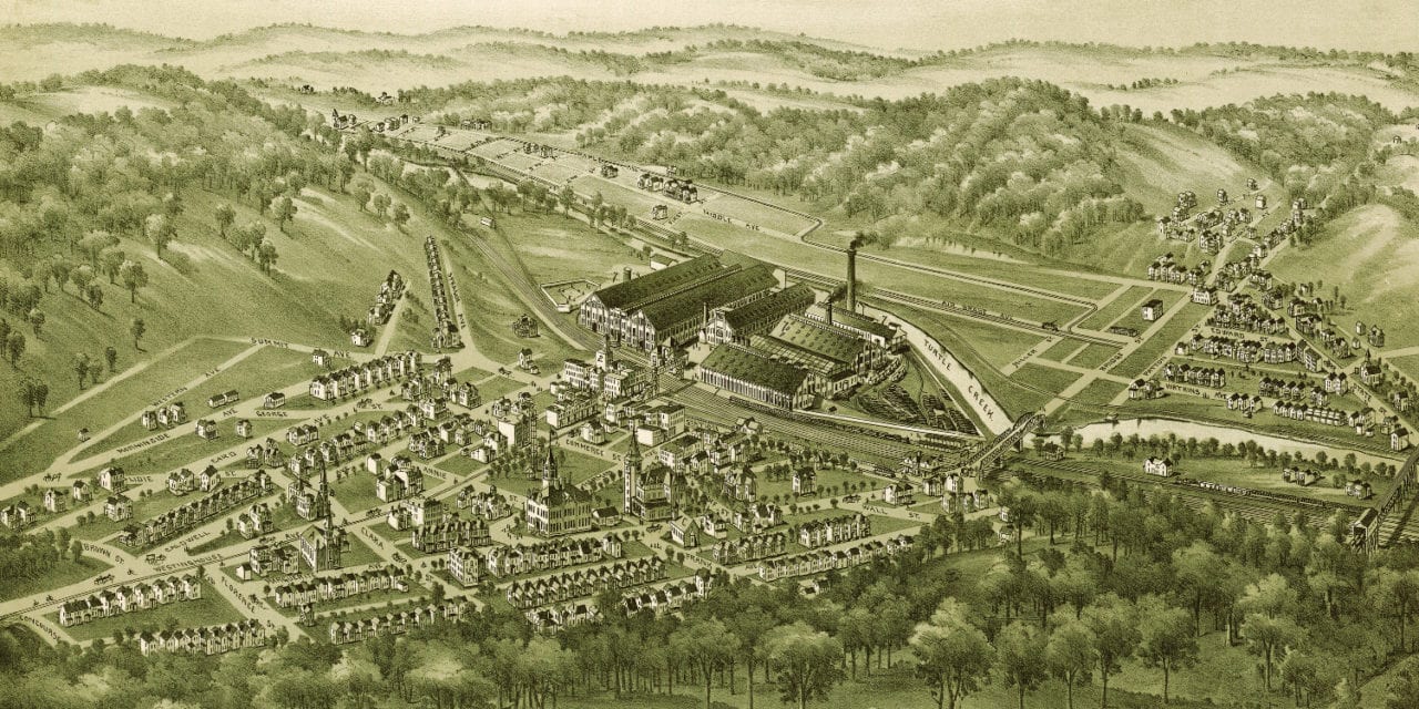
This map of Wilmerding, Pennsylvania was first published by Thaddeus Mortimer Fowler in 1897. Fowler (1842 – 1922) was an American cartographer who spent much of his life creating beautiful hand drawn maps of American towns.
For each map a frame or projection was developed that outlined the pattern of streets. The artist then walked the streets, sketching buildings, trees, and other features to present a complete and accurate rendering of the town.
Fowler’s map of Wilmerding, PA shows bird’s eye views of landmarks such as Glen Hotel, The Westinghouse Air Brake Company, St. Aloysius Catholic Church, Wilmerding Public Schools, Pennsylvania Railroad Station and more.
Click here to see the map of Wilmerding, PA from 1897.
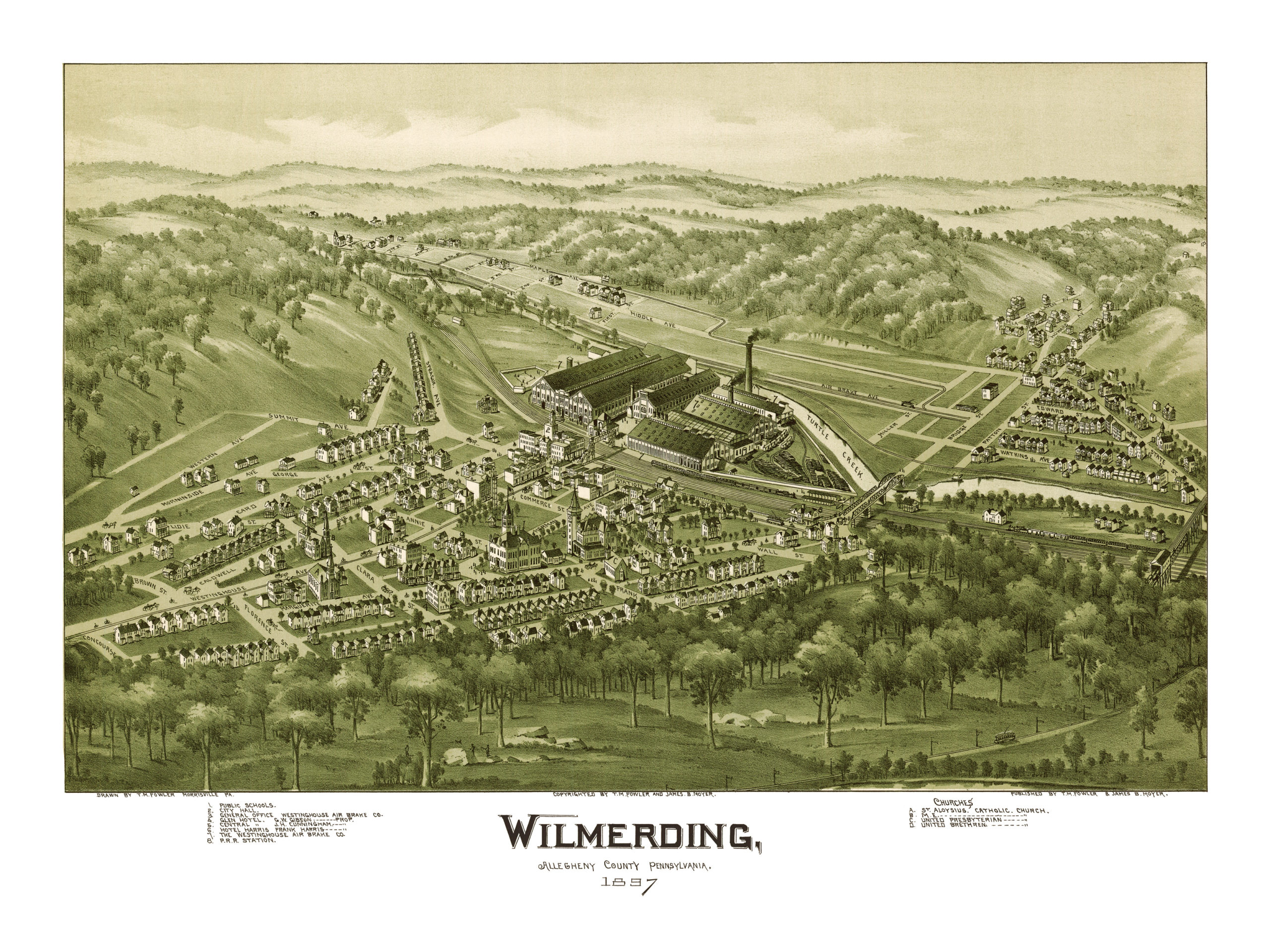
This map of Wilmerding, PA has been lovingly restored by the team at KNOWOL. Reproductions of the restored map are available on museum quality, archival paper to ensure that this piece of Wilmerding history can be passed on to the next generation. Click here to get yours.