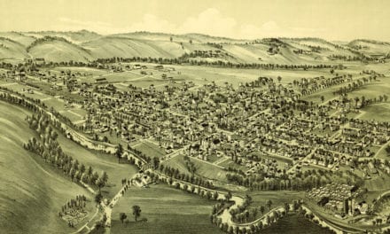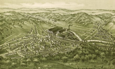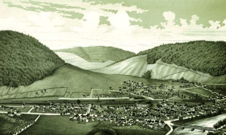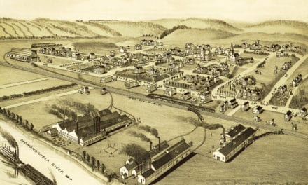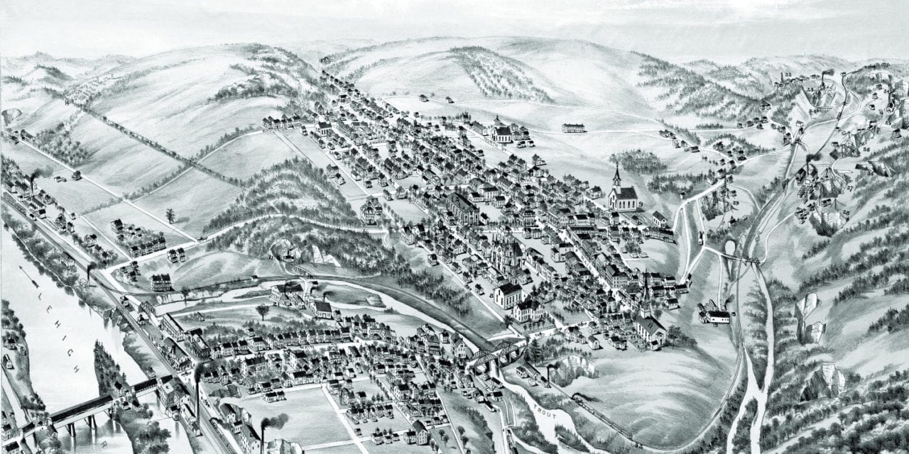
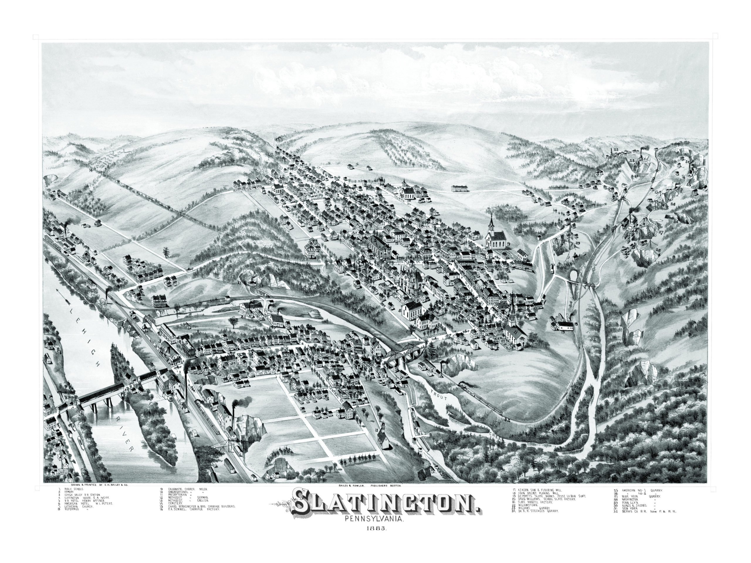
This map of Slatington, Pennsylvania was created in 1883 by O.H. Bailey and T.M. Fowler, prominent 19th century map publishers. The map shows a detailed bird’s eye view of Slatington, including street names and old landmarks.
Landmarks on the map include Slatington House, Lehigh Valley Railroad Station, Chard Berkemeyer & Bro. Carriage Builders, P.A. Semmel Carriage Factory, A.J. Kern Saw & Flouring Mill, Slate Mantel Factory and Williams Quarry.
This historic map of Slatington, PA has been restored by KNOWOL. Reproductions of the map are available here.
Bird’s Eye View of Slatington, PA in 1883
This map of Slatington will make an attractive addition to your office, library, or den, and can even be used to teach children the geography and history of the area. When you’re done exploring, click here to get your copy.