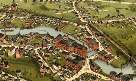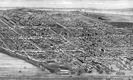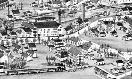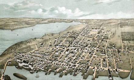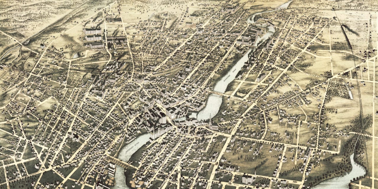
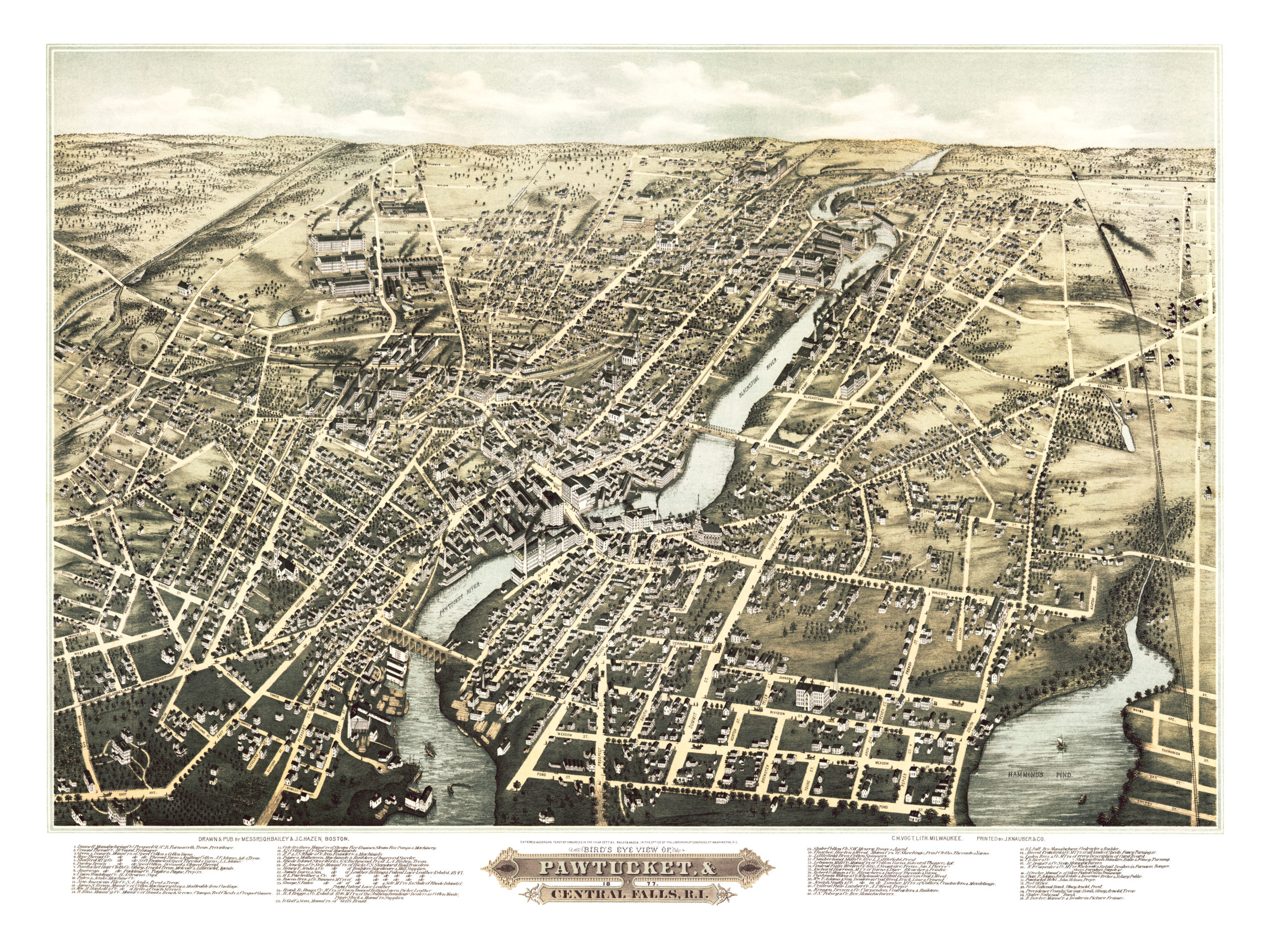
This old map of Pawtucket and Central Falls, Rhode Island was published in 1877 by O.H. Bailey and J.C. Hazen, two of the most prolific map publishers of the 19th century. The map shows a bird’s eye view of the towns as they used to be, including street names and old landmarks.
Landmarks on the map include Conant Thread Company, Hope Thread Company, Cole Brothers Steam Fire Engines, Pawtucket Hotel, James Davis & Sons Leather Belts, Rhode Island Stove Works, Slater National Bank, numerous leather, paper, cotton & thread manufacturers, and more.
This historic map of Pawtucket & Central Falls was restored by KNOWOL. Reproductions of the map are available here.
Click here to see Pawtucket and Central Falls, RI in 1877.
This old map of Pawtucket & Central Falls will make an attractive addition to your office, library, or den and can even be used to teach children the geography and history of the area. When you’re done exploring, click here to get your copy.