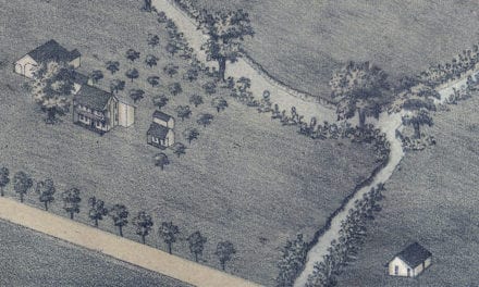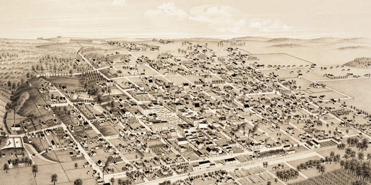
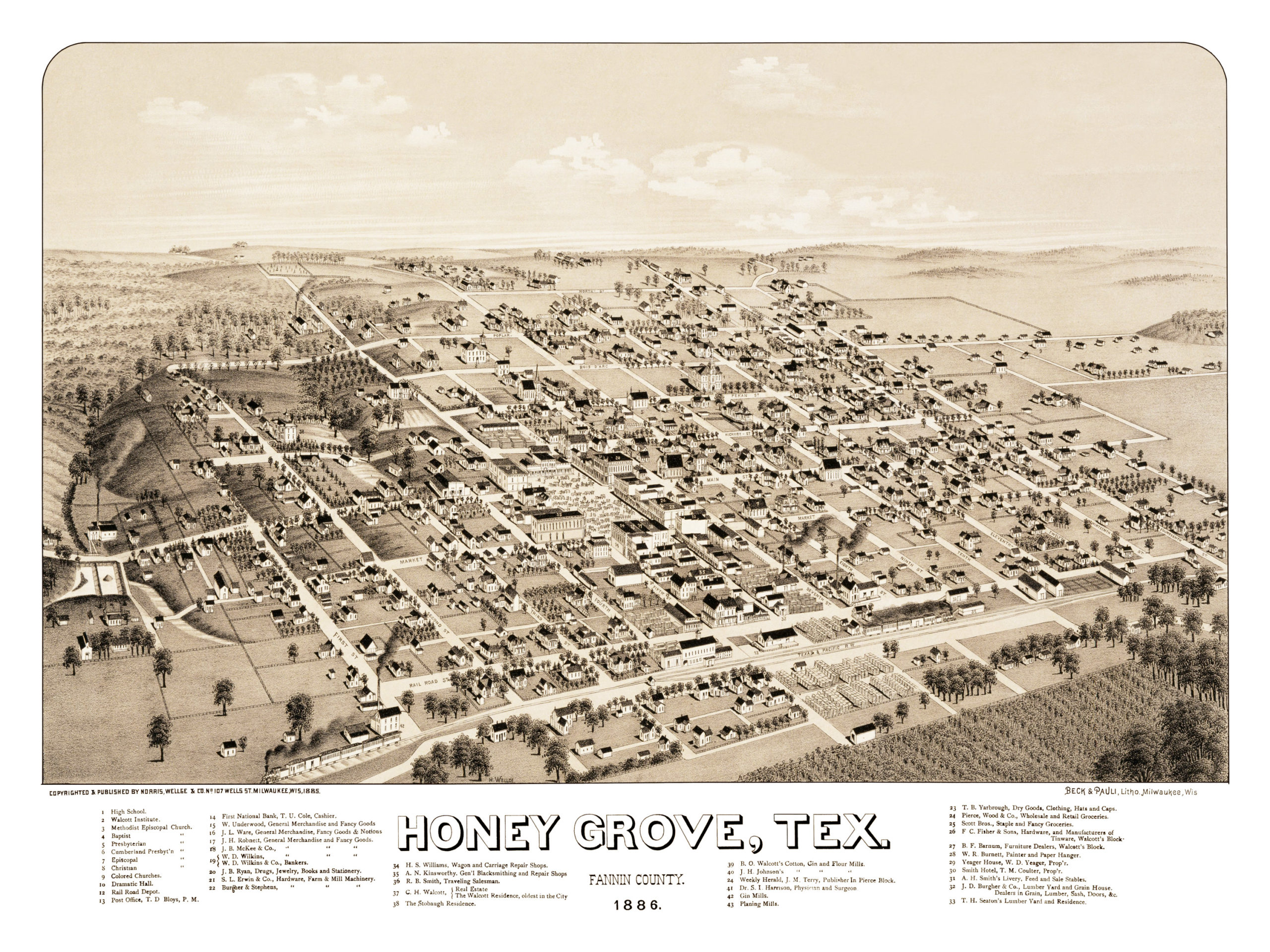
This old map of Honey Grove, Texas was published in 1886 by Henry Wellge, one of the most prolific map publishers of the 19th century. Wellge spent more than 30 years of his life traveling the United States and created more than 150 beautiful hand drawn maps of American towns.
The map shows a bird’s eye view of Honey Grove, TX as it looked at the end of the 19th century. Landmarks on the map include Walcott Institute, Dramatic Hall, The Stobaugh Residence, Gin Mills, Planing Mills and a wide variety of churches, including a separate “colored church”.
Click here to see Honey Grove, Texas in 1886.
Reproductions of the restored map are available here.
This old map of Honey Grove has been lovingly restored by the team at KNOWOL. Reproductions of the restored map are available on museum quality, archival paper to ensure that this piece of Texas history can be passed on to the next generation. Click here to get a copy of the map.