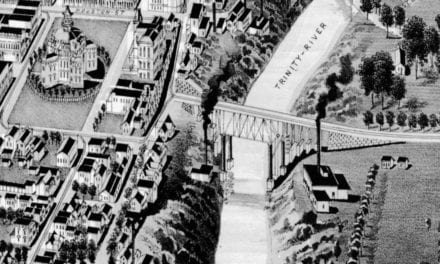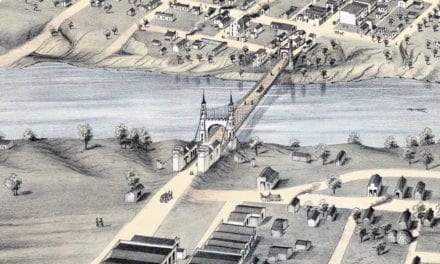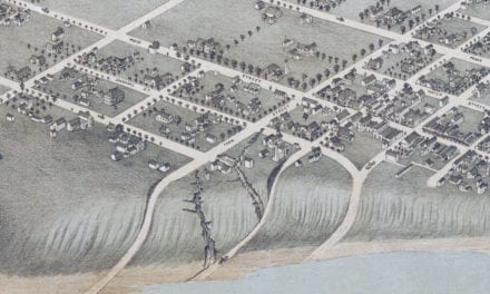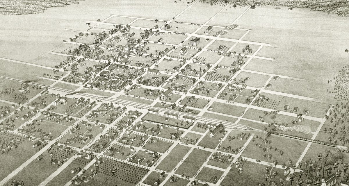
This map of Cuero, Texas was originally published in 1881 by Augustus Koch, a prominent 19th century map maker. The map has been lovingly restored by the team at KNOWOL. Reproductions of the map are available through our store, and a free high resolution version can be viewed below.
The map shows a bird’s eye view of Cuero in 1881. The Gulf, Western Texas and Pacific Railway was completed in 1873. Cuero was chosen as the midway point when extending the railway from Indianola to San Antonio, fostering the area’s growth and leading to its incorporation in 1875.
Bird’s Eye View of Cuero, Texas in 1881
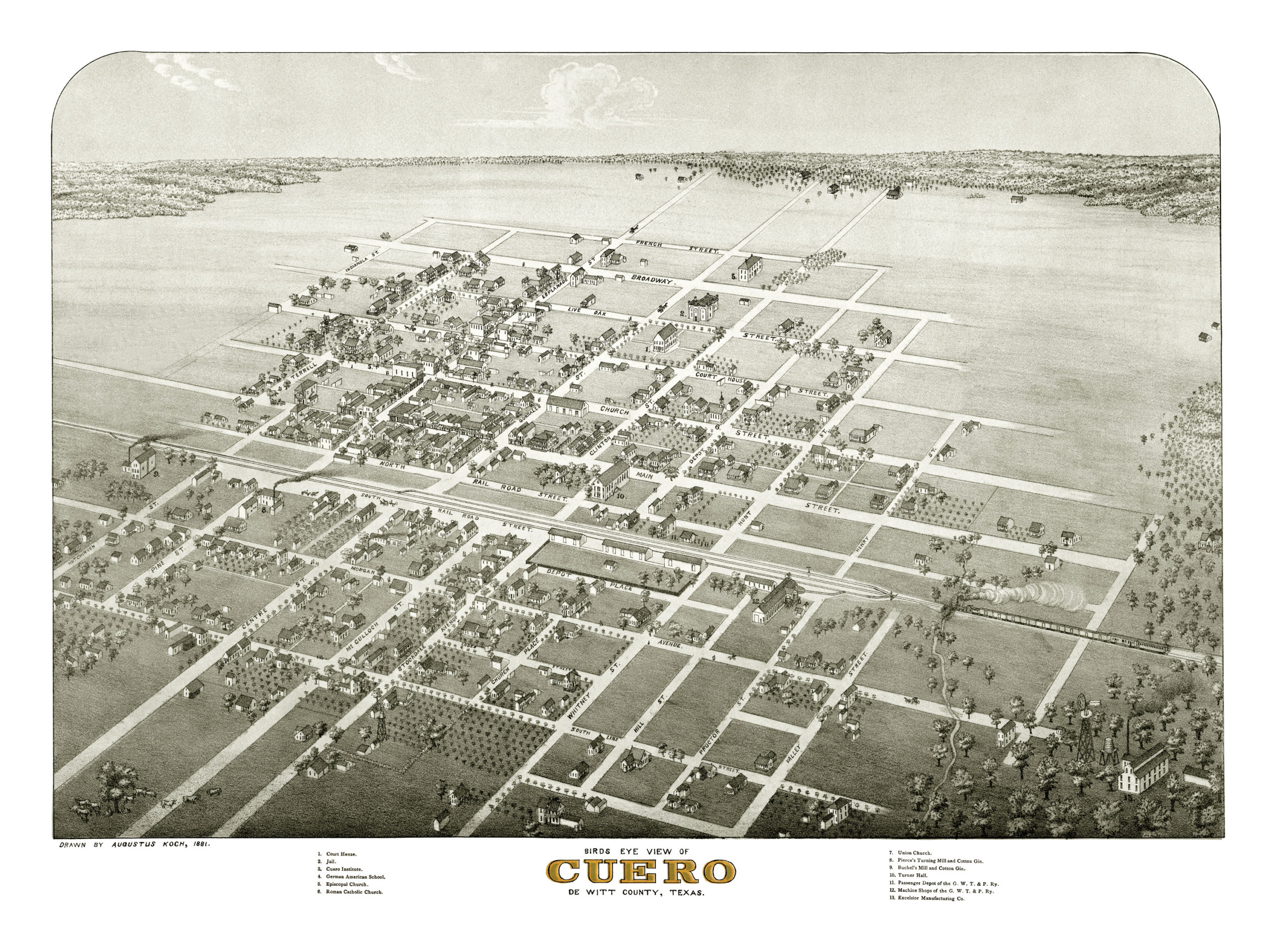
Old Cuero landmarks on the map include Cuero Institute, German American School, Pierce’s Turning Mill and Cotton Gin, Buchel’s Mill and Cotton Gin, Turner Hall, Episcopal and Roman Catholic Churches, and Excelsior Manufacturing.
Reproductions of the restored map are available on museum quality, archival matte paper to ensure that this piece of Cuero, Texas history can be passed on to the next generation. Click here to get yours, and share with friends!