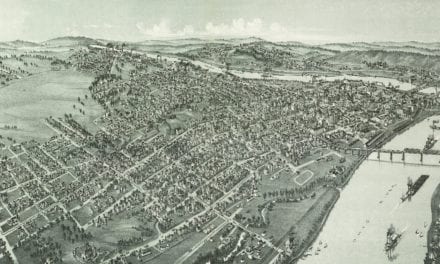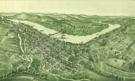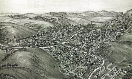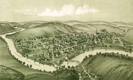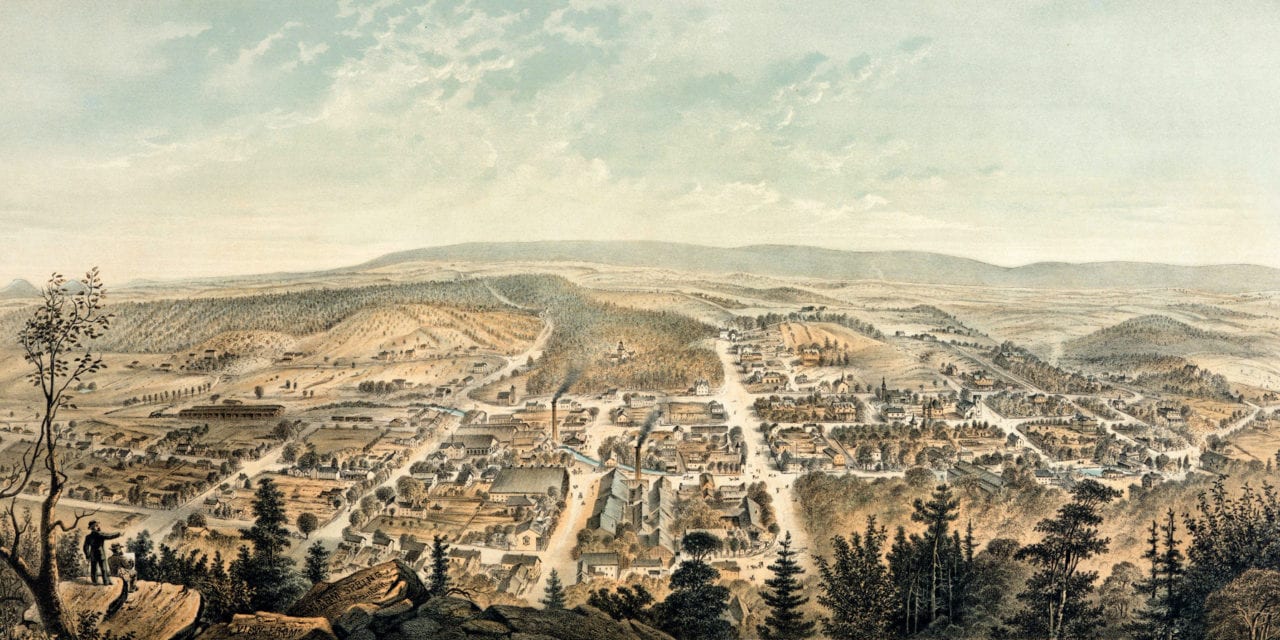
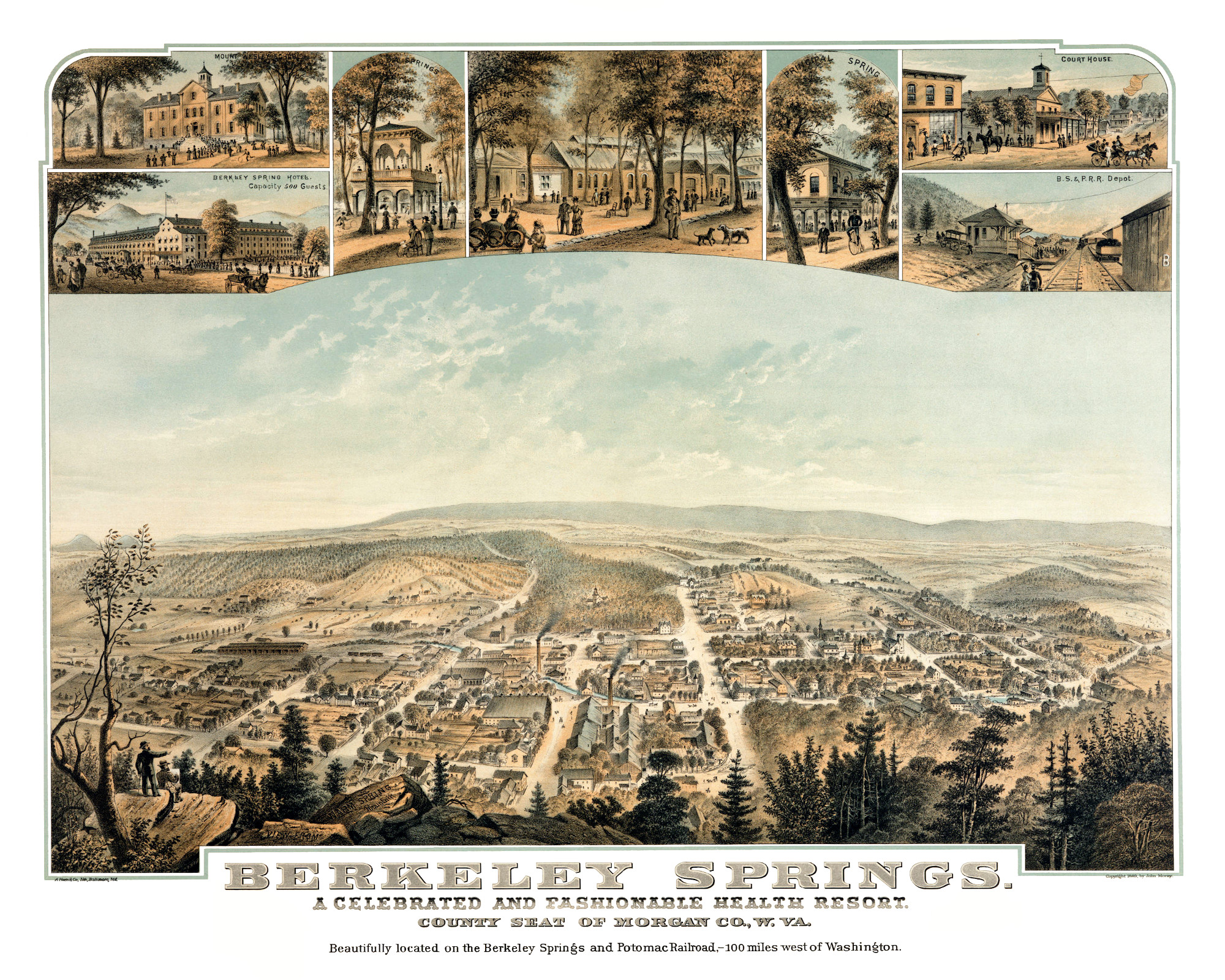
This old map of Berkeley Springs, West Virginia was first published in 1889 by John Moray, an artist, photographer, and amateur historian who worked and lived in Berkeley Springs in the late 19th century.
The map shows a bird’s eye view of Berkeley Springs, WV from Warm Springs Mountain. Landmarks on the map include the Berkeley Spring Hotel (Capacity 500 Guests), Pagodia Springs, Mount Wesley School, Swimming Pools & Bath, Principal Spring, Berkeley Court House and more.
Click here to see Berkeley Springs, West Virginia in 1889.
Reproductions of the restored map are available here.
This old map of Berkeley Springs, West Virginia has been lovingly restored by the team at KNOWOL. Reproductions of the restored map seen here are available on museum quality, archival paper to ensure that this piece of West Virginia history can be passed on to the next generation. Click here to get a copy of the map.