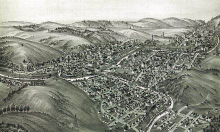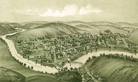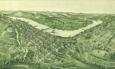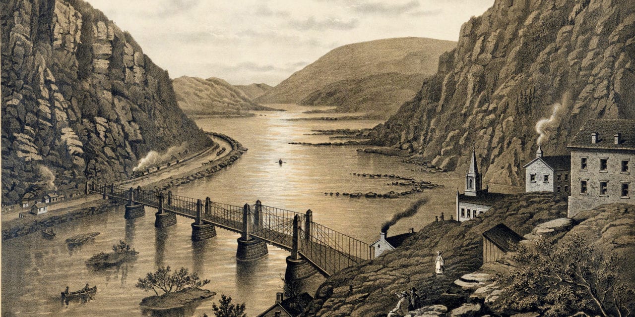
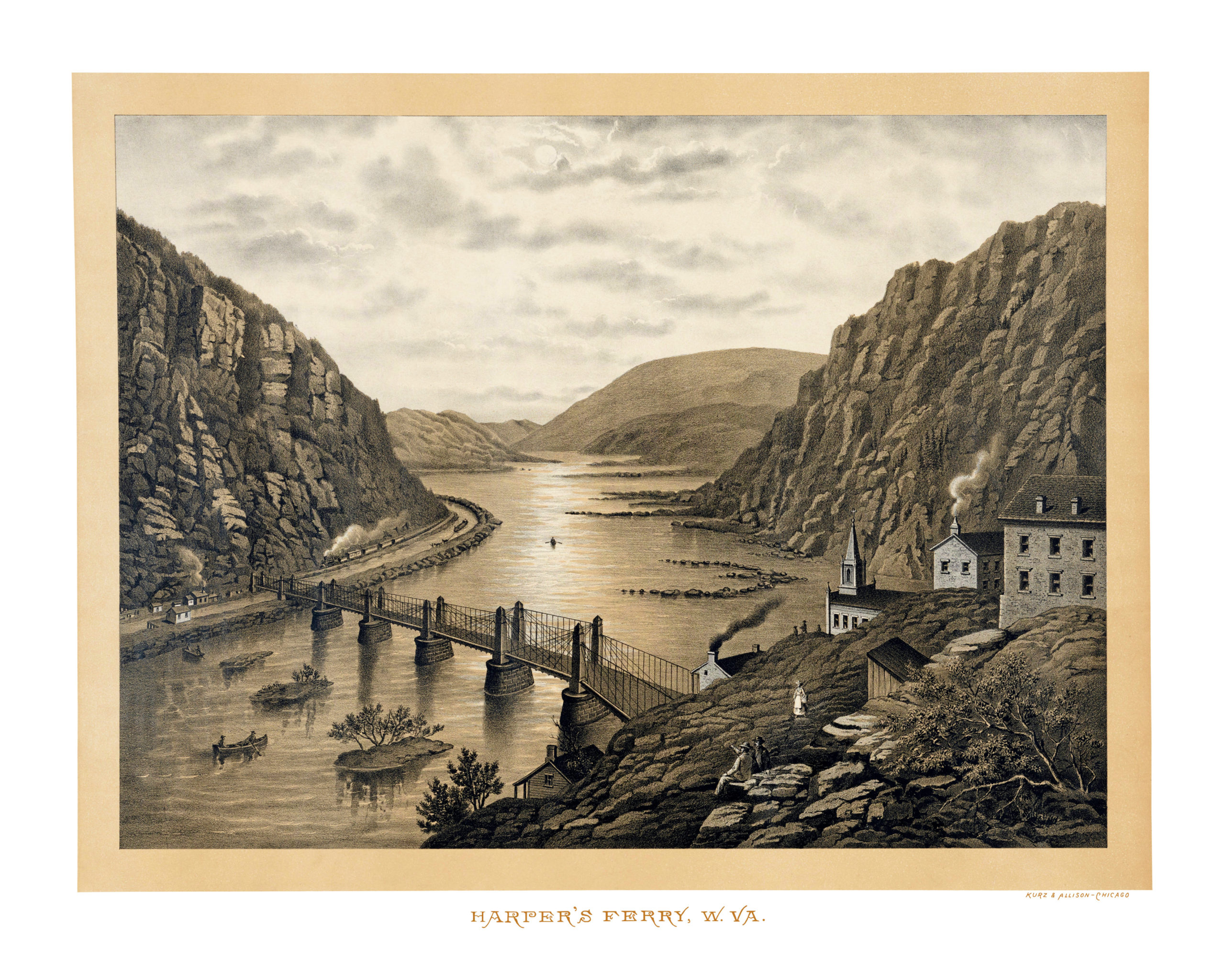
This old map of Harper’s Ferry West Virginia was published in the late 19th century by Kurz & Allison, a major publisher of chromolithographs in the late 19th century.
This beautiful view of Harper’s Ferry shows the area as it looked toward the end of the 19th century. The print is undated, but Kurz & Alison was founded in 1880 and published most of their prints between 1880 – 1900.
The artist created this bird’s eye view of Harper’s Ferry while looking eastward toward the Potomac River. The image shows a suspension bridge across the Potomac, rowboats floating down the Chesapeake & Ohio Canal, a train coming around the mountain below Maryland Heights, and people sitting on the hillside watching the action below.
Click here to see Harper’s Ferry, WV in the 19th century.
Reproductions of the restored map are available here.
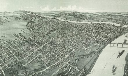
This old map of Harper’s Ferry has been lovingly restored by the team at KNOWOL. Reproductions of the restored map are available on museum quality, archival paper to ensure that this piece of West Virginia history can be passed on to the next generation. Click here to get a copy of the map.