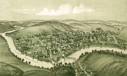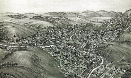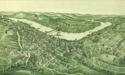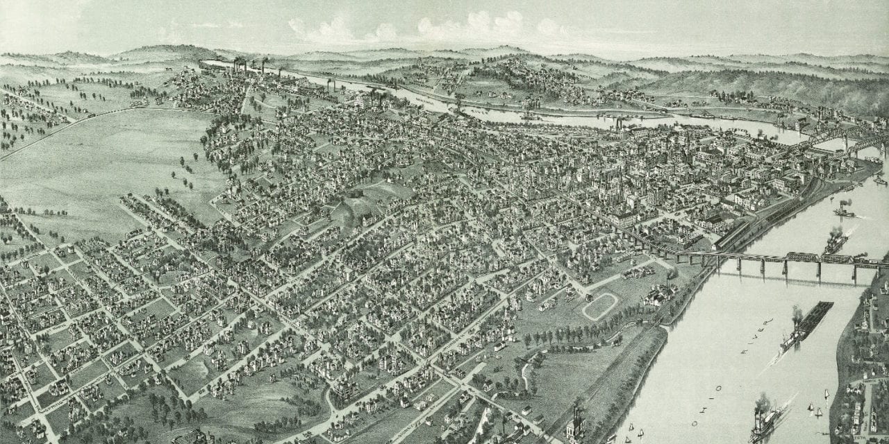
This map of Parkersburg, West Virginia was created in 1899 by T.M. Fowler, a prominent 19th century map maker. The map shows a detailed bird’s eye view of Parkersburg, WV including street names and old landmarks.
Landmarks on the map include DeSales Heights Convent of the Visitation, The Blennerhasset Hotel, The Jackson Hotel, Parkersburg Mill Company, Standard Oil Refinery, Bentley & Gerwig Furniture Factory, Parkersburg Brewing Company, an ice plant, numerous churches and more!
This historic map of Parkersburg has been restored by KNOWOL. Reproductions of the map are available here.
Bird’s Eye View of Parkersburg, West Virginia in 1899
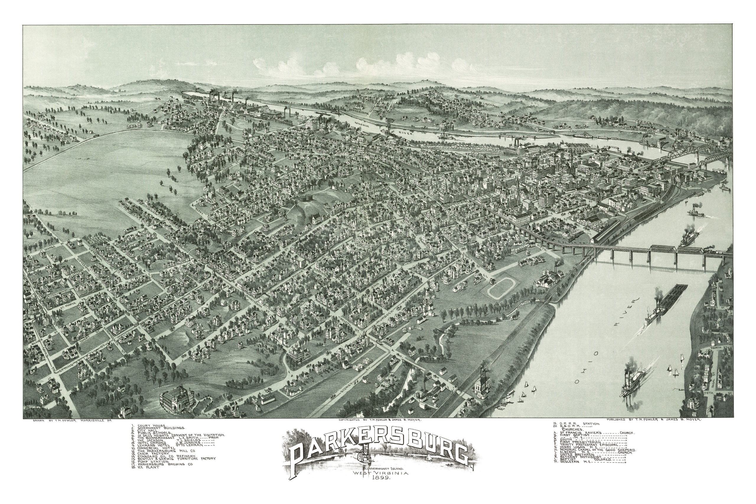
This map of Parkersburg will make an attractive addition to your office, library, or den, and can even be used to teach children the geography and history of the area. When you’re done exploring, click here to get your copy.