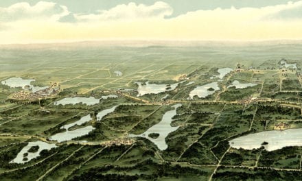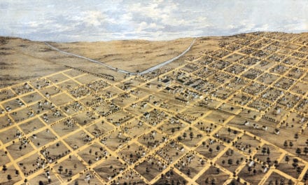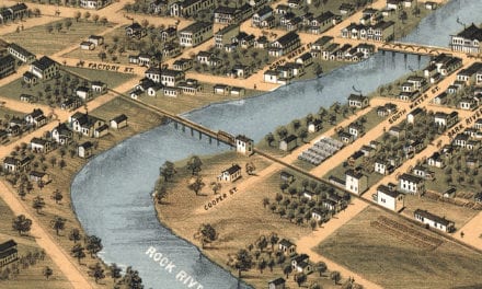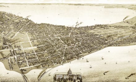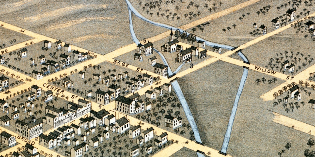
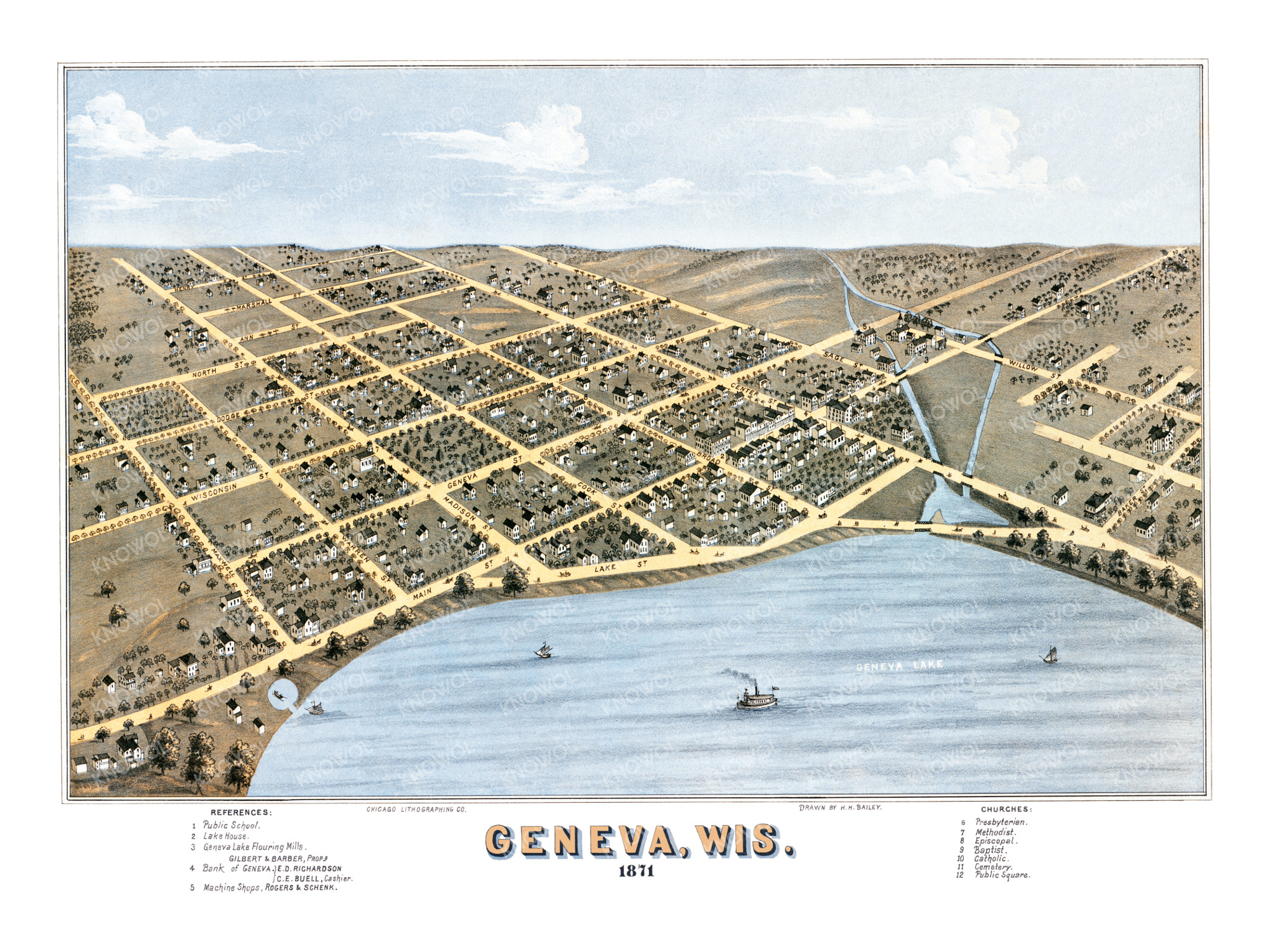
This historic map of Geneva, Wisconsin was created in 1871 by Howard Heston Bailey, a prominent 19th century map maker. The map shows a bird’s eye view of the city as it used to be, including street names and old landmarks.
Landmarks on the map include Geneva Lake Flouring Mills, Public School, Lake House, Machine Shops, Public Square, Bank of Geneva, Geneva Lake, a variety of churches, and more. The map spans from Maxwell Street to Sage Street.
This historic map of Geneva has been restored by KNOWOL. Reproductions of the restored map are available here.
Historic Old Map of Geneva, Wisconsin from 1871
This vintage map of Geneva makes an attractive addition to your office, library, or den, and can even be used to teach children the geography and history of the area. When you’re done exploring, click here to get your copy of the restored map.