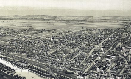
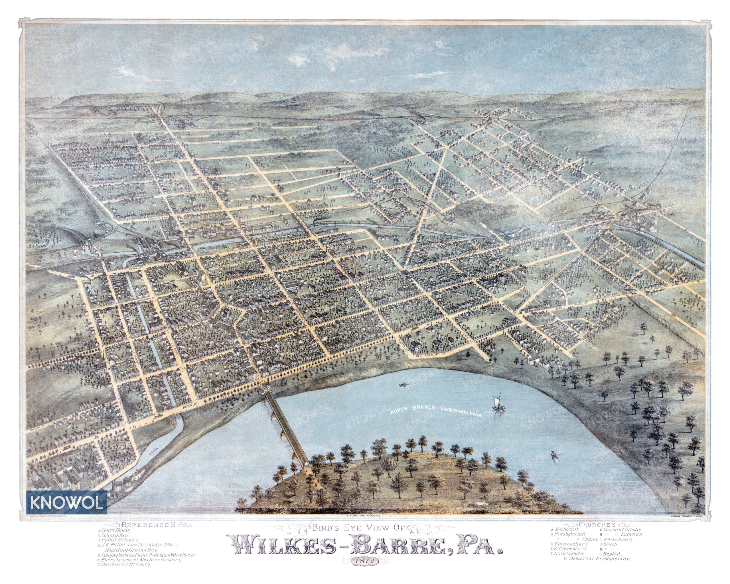
This historic map of Wilkes-Barre, Pennsylvania was created in 1872 by C.H. Vogt, a prominent 19th century map maker. The map shows a bird’s eye view of the area as it used to be, including street names and old landmarks.
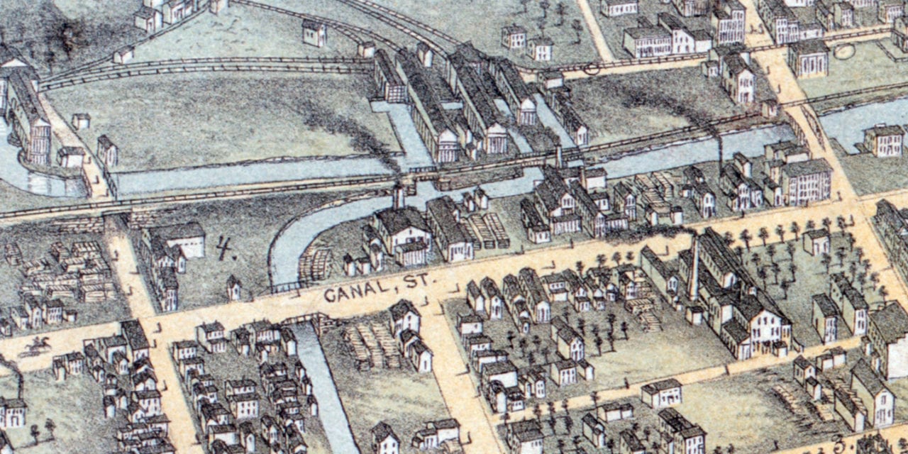
Landmarks on the map include Reichard’s Brewery, Baer & Stegmaier Ales & Beer Brewery, Patterson’s Lumber Doors, North Branch of Susquehanna River, churches, and more.
This historic map of Wilkes-Barre was restored by KNOWOL. Reproductions of the restored map are available here.
Historic Old Map of Wilkes-Barre, PA from 1872
This vintage map of Wilkes-Barre makes an attractive addition to your office, library, or den, and can even be used to teach children the geography and history of the area. When you’re done exploring, click here to get your copy of the restored map.