Detailed Map of Pennfield Parish, New Brunswick
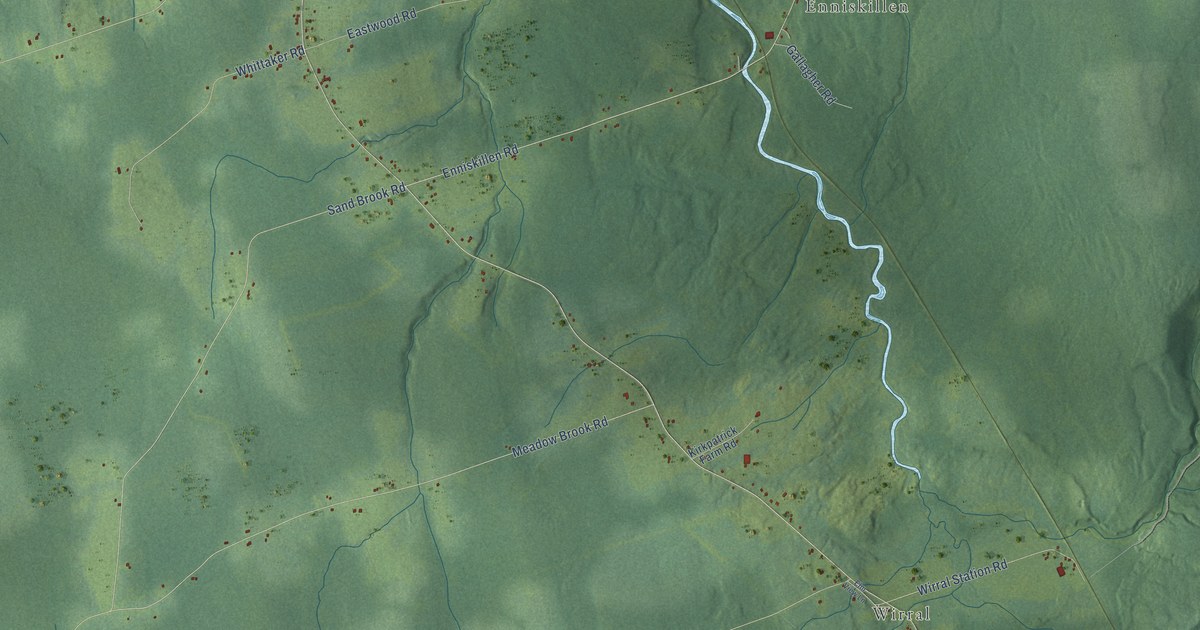
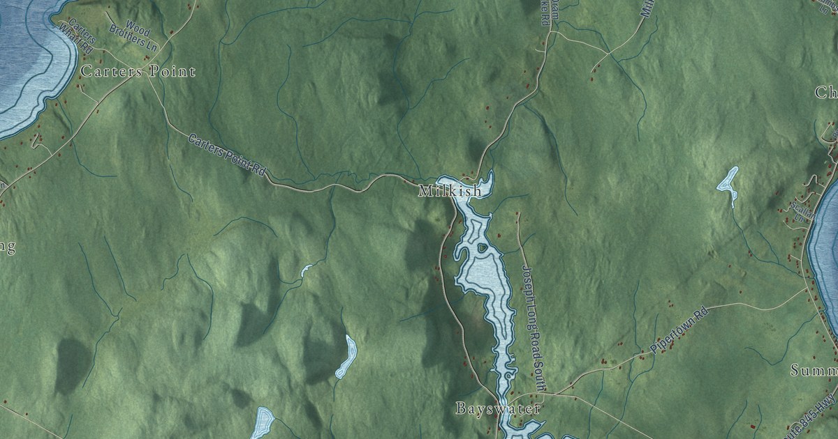
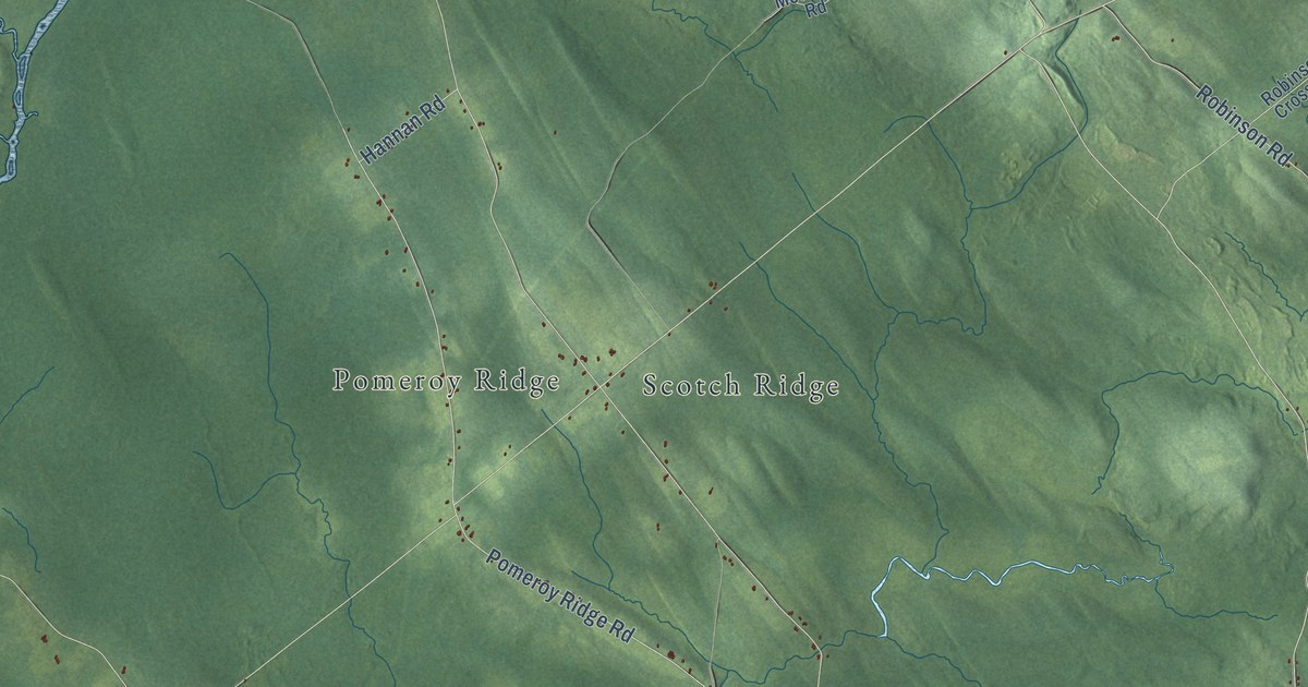
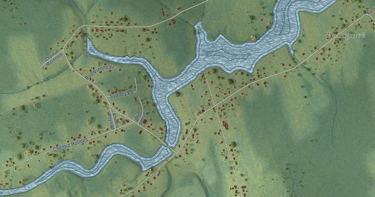
A detailed map of Pennfield Parish, New Brunswick, showing every building in its true location, the roads by name, and shaded topographical relief.
Read More
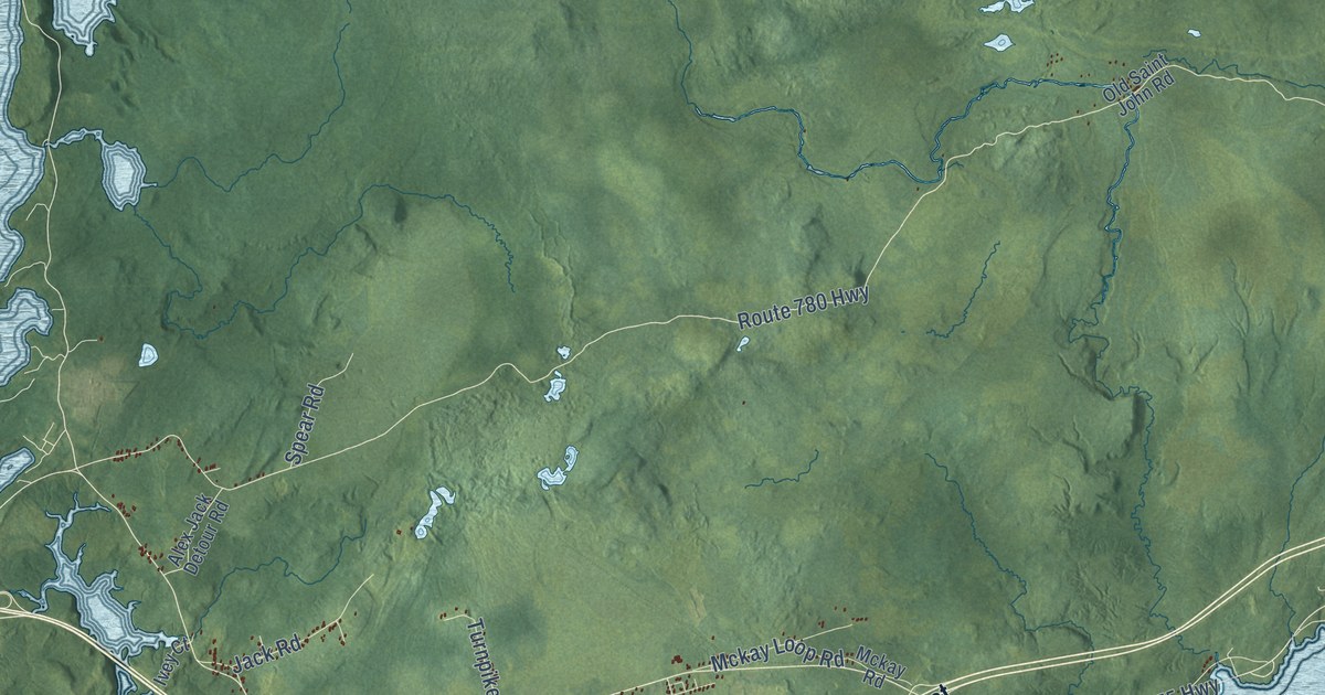
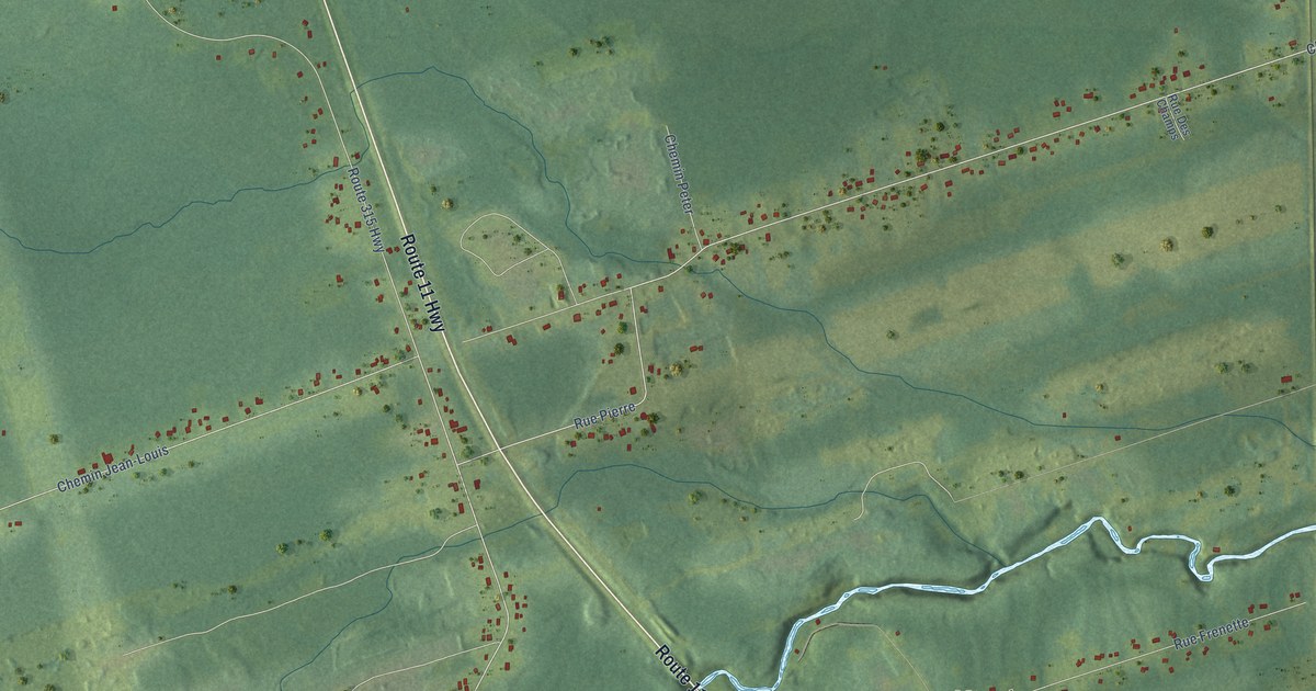
A detailed map of Pennfield Parish, New Brunswick, showing every building in its true location, the roads by name, and shaded topographical relief.
Read More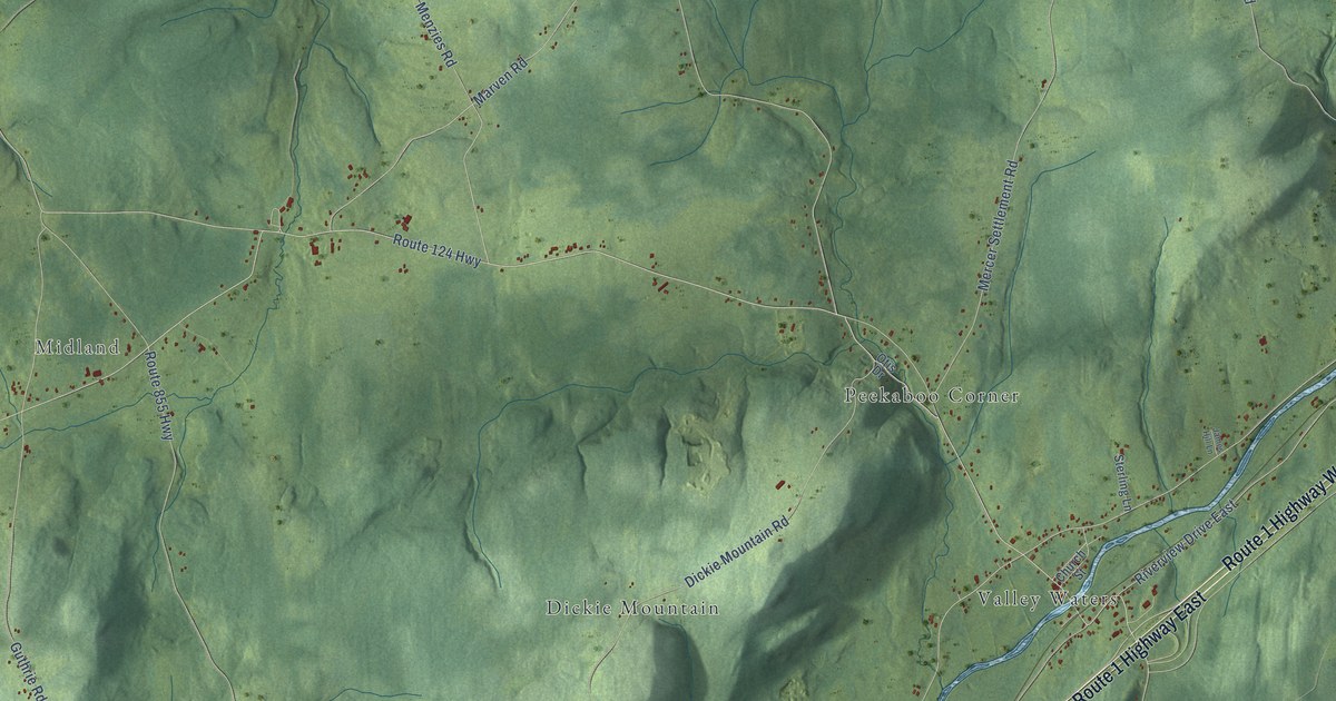
A detailed map of Norton, New Brunswick, showing every building in its true location, the roads by name, and shaded topographical relief.
Read More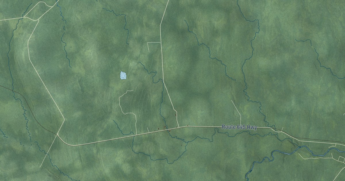
A detailed map of New Maryland Parish, New Brunswick, showing every building in its true location, the roads by name, and shaded topographical relief.
Read More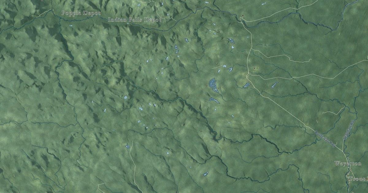
A detailed map of Northesk Parish, New Brunswick, showing every building in its true location, the roads by name, and shaded topographical relief.
Read More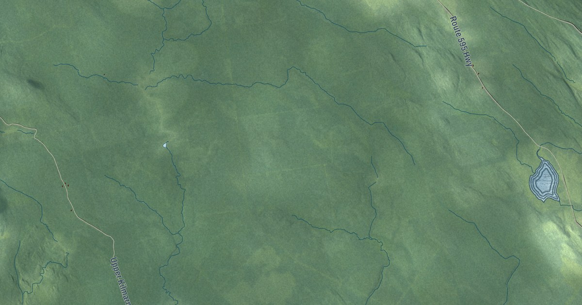
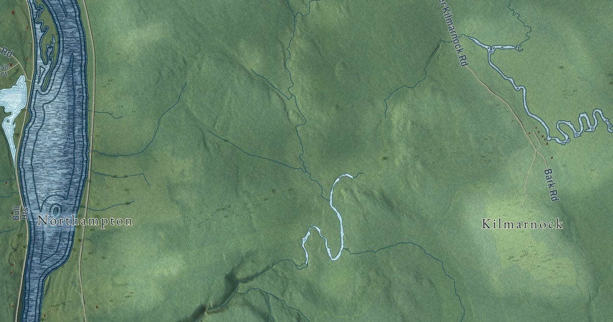
A detailed map of Northampton Parish, New Brunswick, showing every building in its true location, the roads by name, and shaded topographical relief.
Read More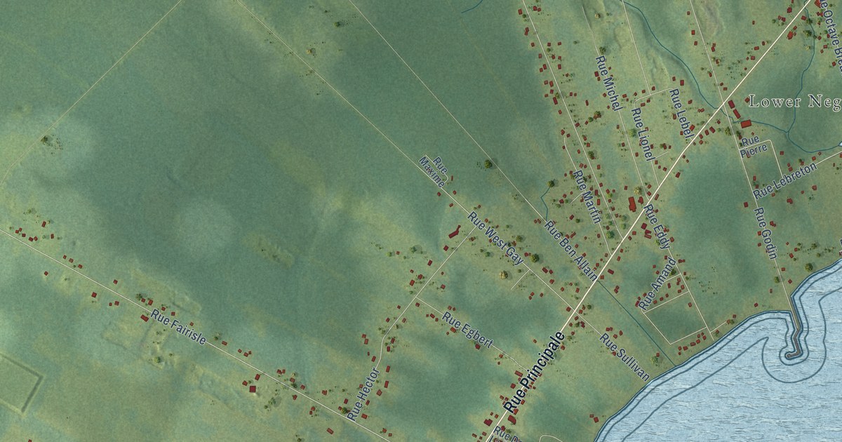
A detailed map of Neguac, New Brunswick, showing every building in its true location, the roads by name, and shaded topographical relief.
Read More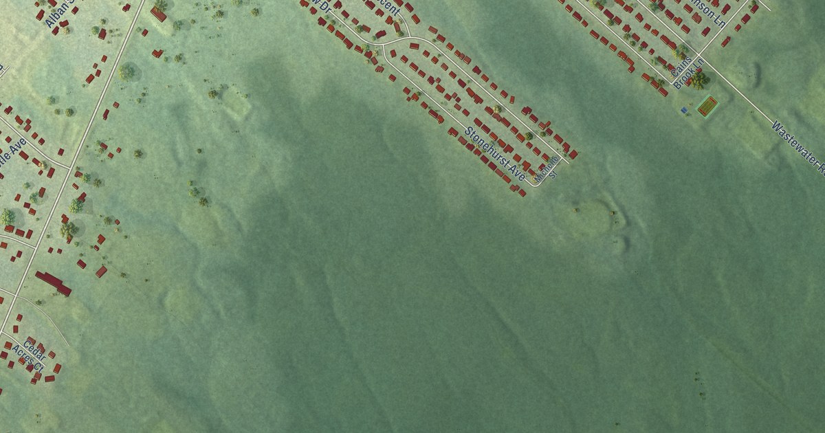
A detailed map of New Maryland, New Brunswick, showing every building in its true location, the roads by name, and shaded topographical relief.
Read More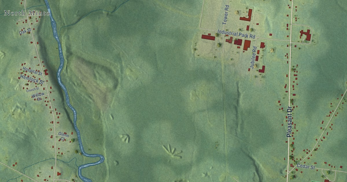
A detailed map of Minto, New Brunswick, showing every building in its true location, the roads by name, and shaded topographical relief.
Read More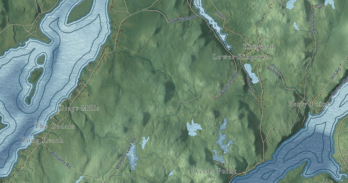
A detailed map of Kingston Parish, New Brunswick, showing every building in its true location, the roads by name, and shaded topographical relief.
Read More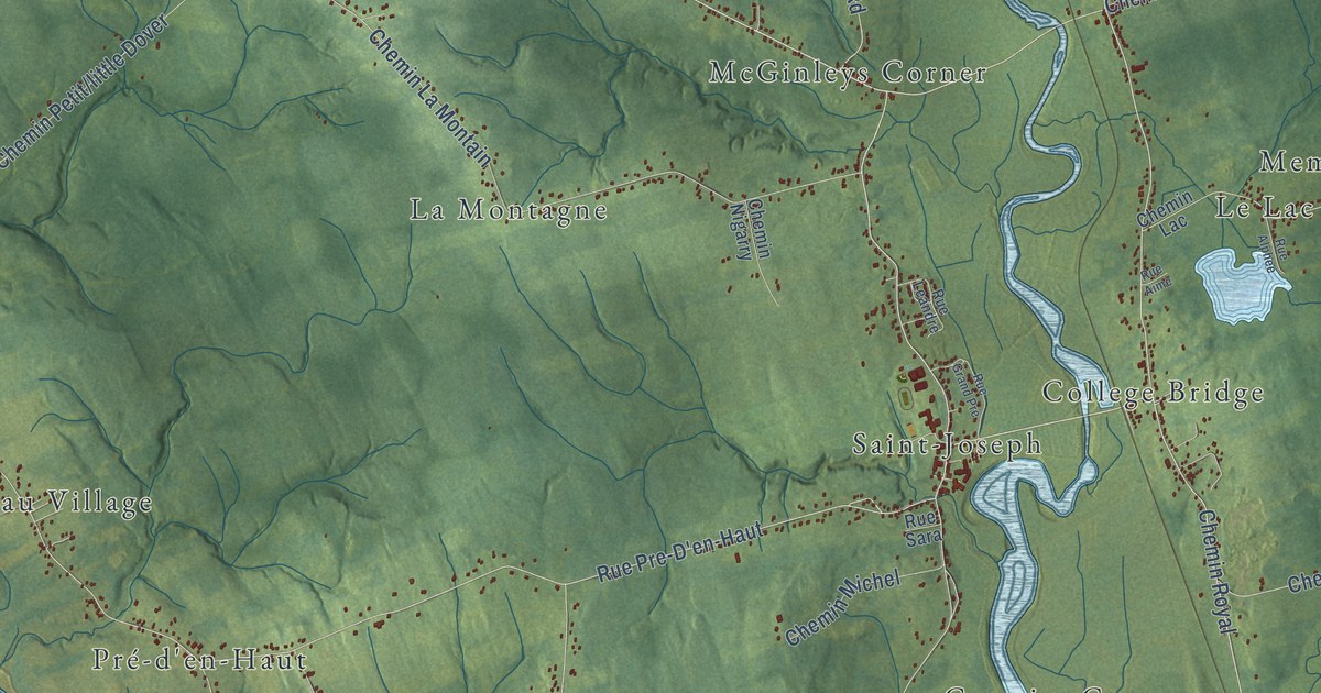
A detailed map of Memramcook, New Brunswick, showing every building in its true location, the roads by name, and shaded topographical relief.
Read More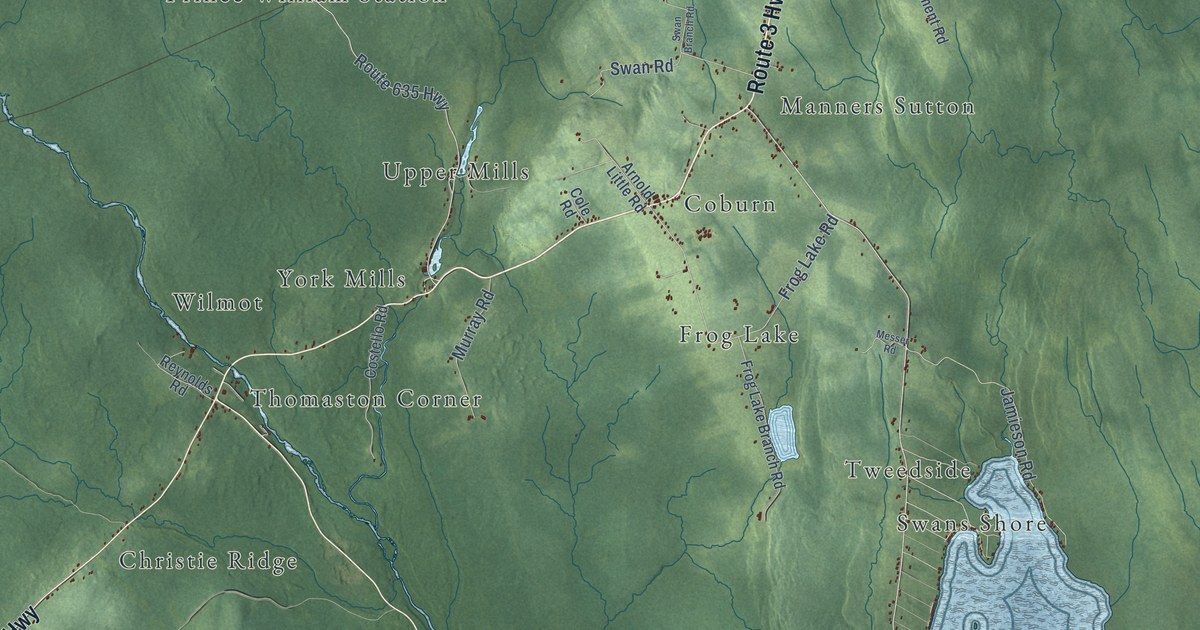
A detailed map of Manners Sutton Parish, New Brunswick, showing every building in its true location, the roads by name, and shaded topographical relief.
Read More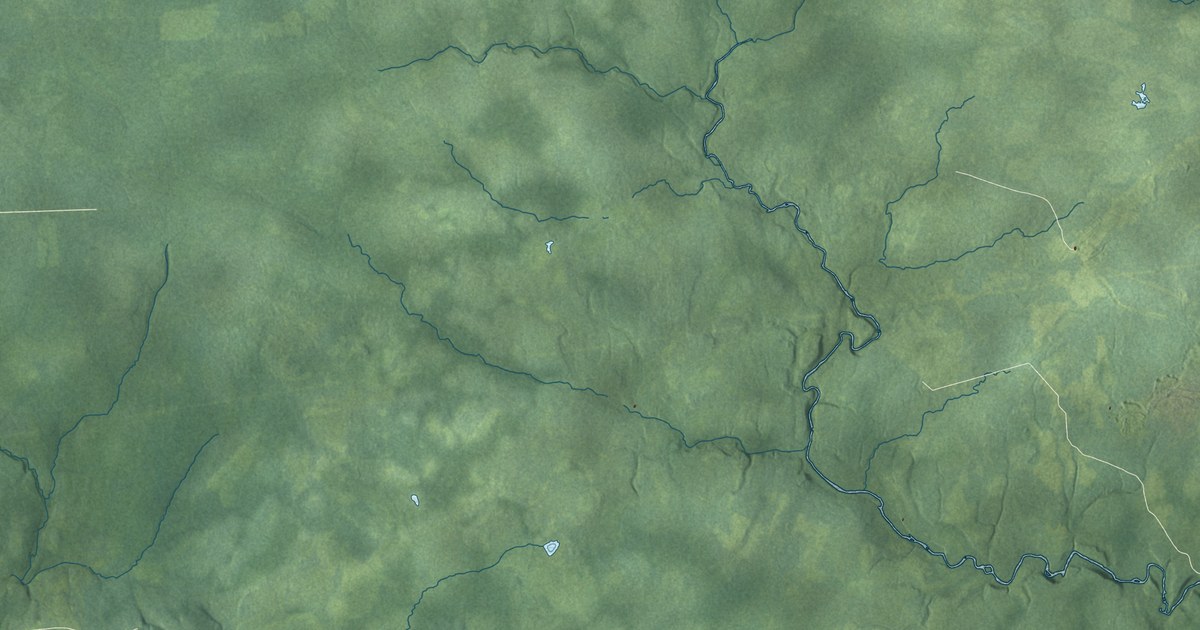
A detailed map of Maugerville Parish, New Brunswick, showing every building in its true location, the roads by name, and shaded topographical relief.
Read More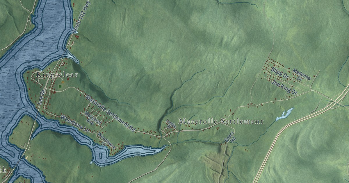
A detailed map of Kingsclear Parish, New Brunswick, showing every building in its true location, the roads by name, and shaded topographical relief.
Read More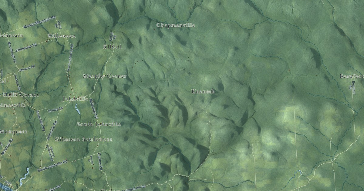
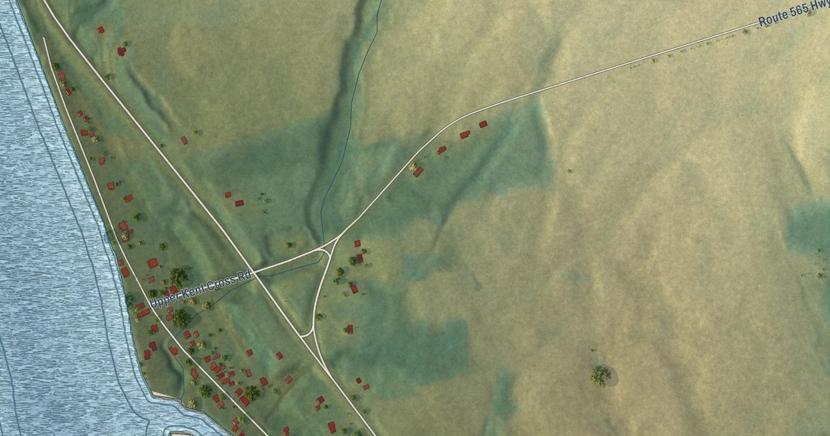
A detailed map of Kent Parish, New Brunswick, showing every building in its true location, the roads by name, and shaded topographical relief.
Read More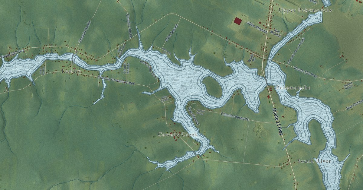
A detailed map of Inkerman Parish, New Brunswick, showing every building in its true location, the roads by name, and shaded topographical relief.
Read More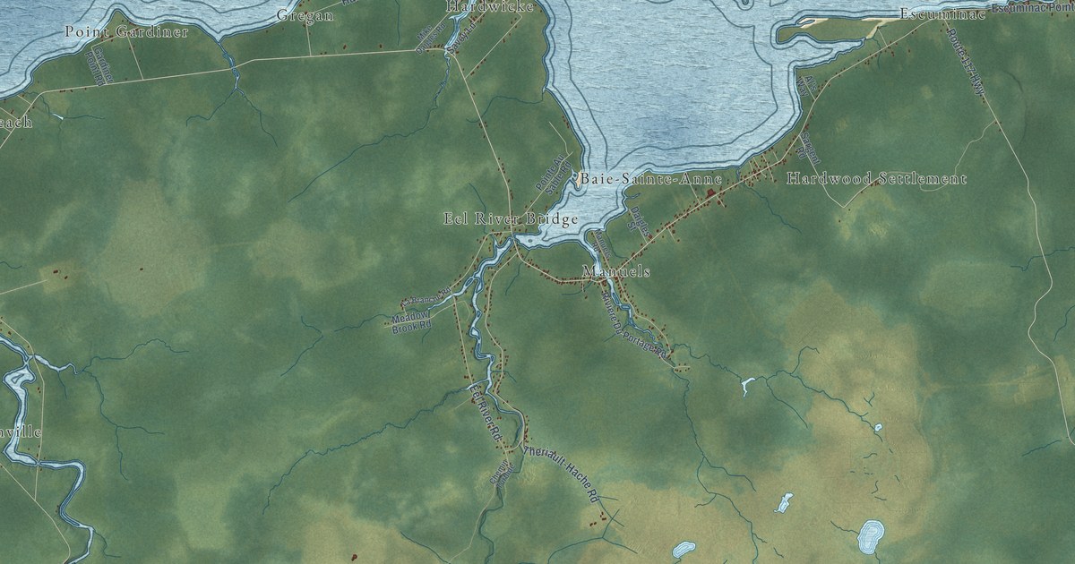
A detailed map of Hardwicke Parish, New Brunswick, showing every building in its true location, the roads by name, and shaded topographical relief.
Read More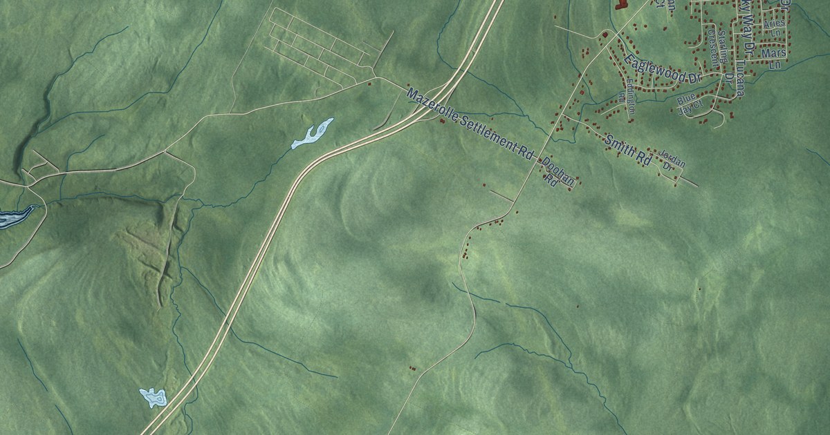
A detailed map of Hanwell, New Brunswick, showing every building in its true location, the roads by name, and shaded topographical relief.
Read More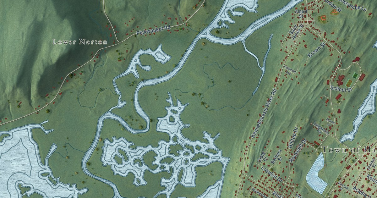
A detailed map of Hampton, New Brunswick, showing every building in its true location, the roads by name, and shaded topographical relief.
Read More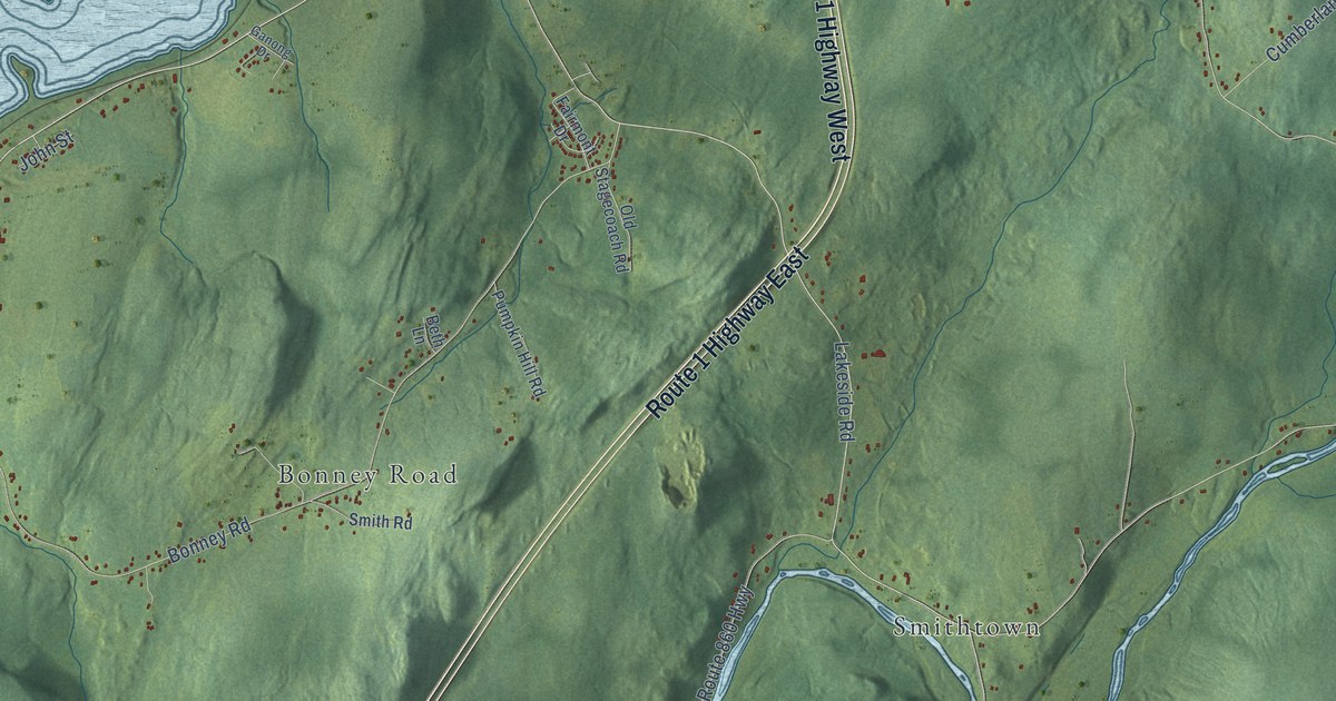
A detailed map of Hampton Parish, New Brunswick, showing every building in its true location, the roads by name, and shaded topographical relief.
Read More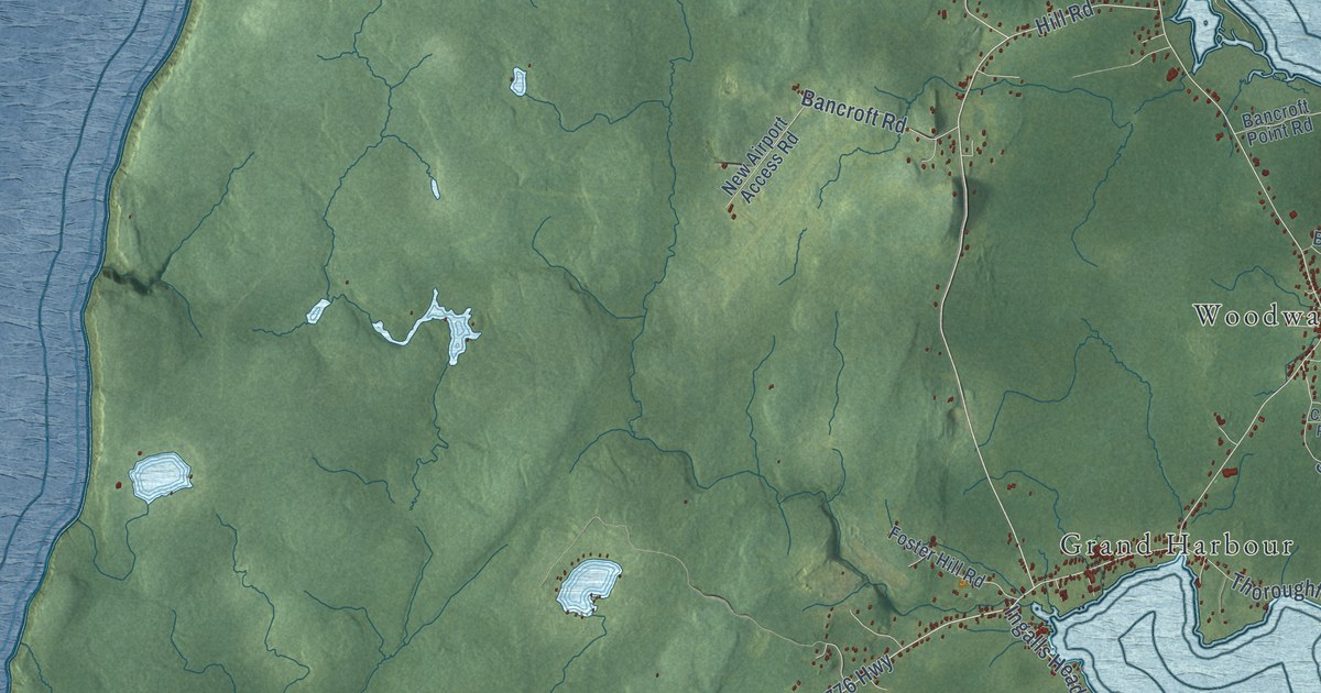
A detailed map of Grand Manan, New Brunswick, showing every building in its true location, the roads by name, and shaded topographical relief.
Read More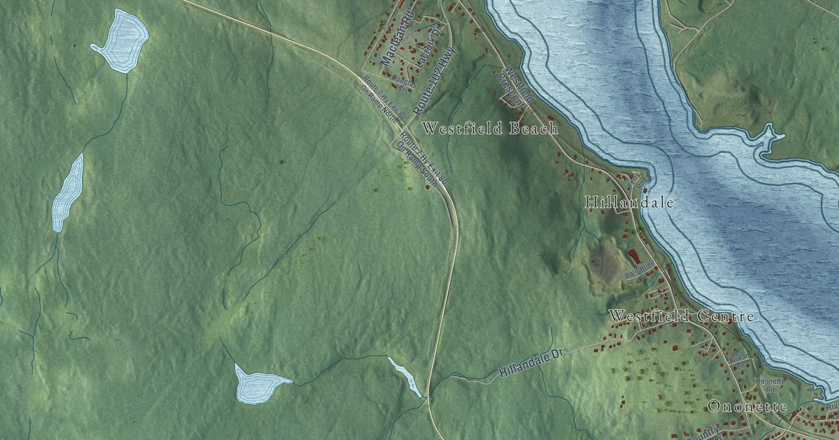
A detailed map of Grand Bay-Westfield, New Brunswick, showing every building in its true location, the roads by name, and shaded topographical relief.
Read More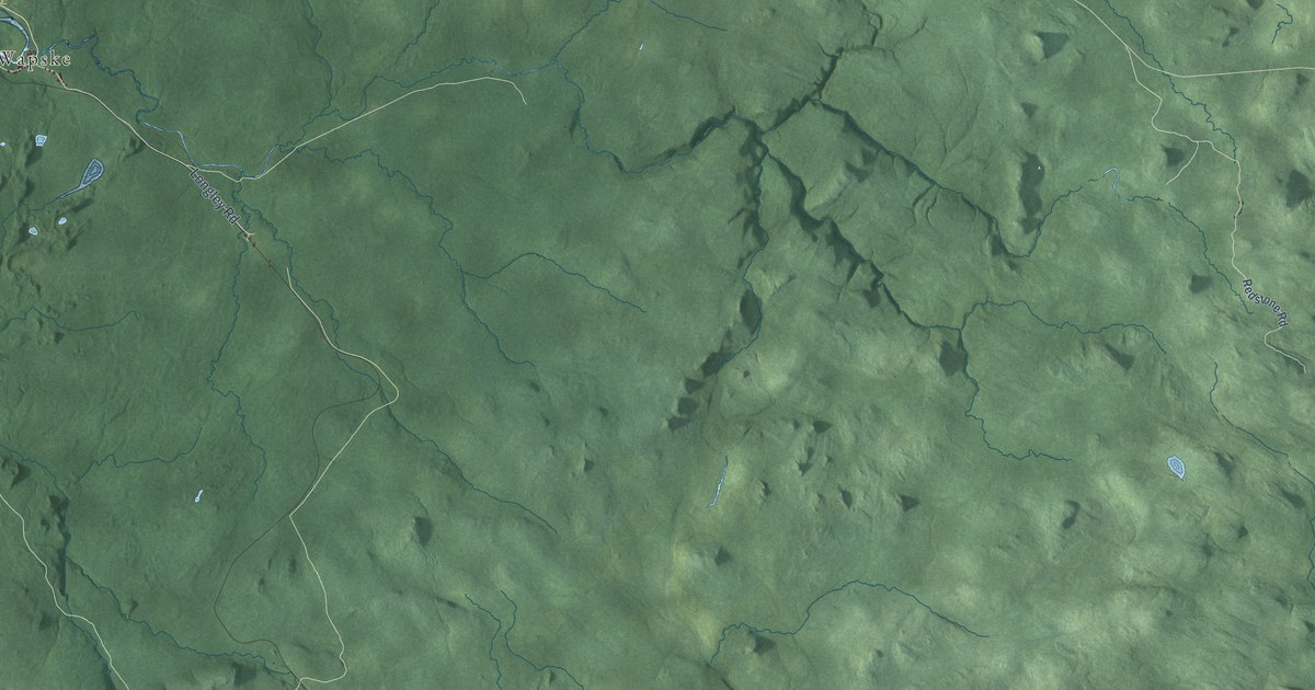
A detailed map of Gordon Parish, New Brunswick, showing every building in its true location, the roads by name, and shaded topographical relief.
Read More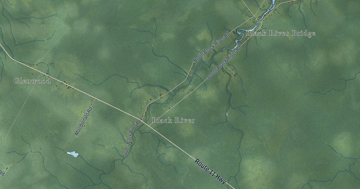
A detailed map of Glenelg Parish, New Brunswick, showing every building in its true location, the roads by name, and shaded topographical relief.
Read More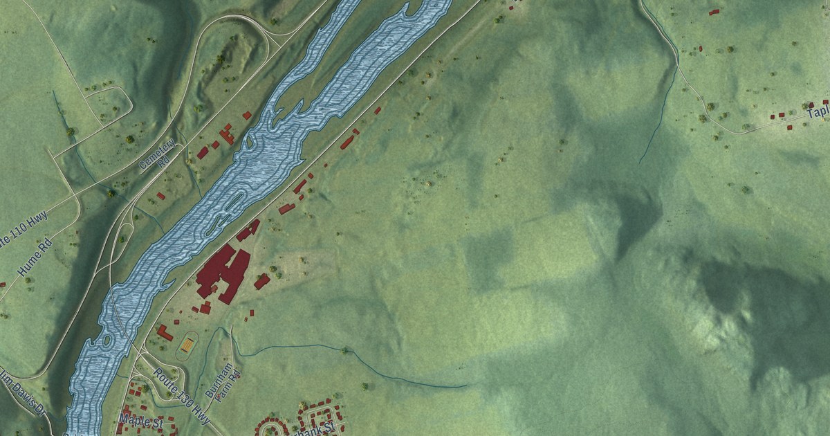
A detailed map of Florenceville-Bristol, New Brunswick, showing every building in its true location, the roads by name, and shaded topographical relief.
Read More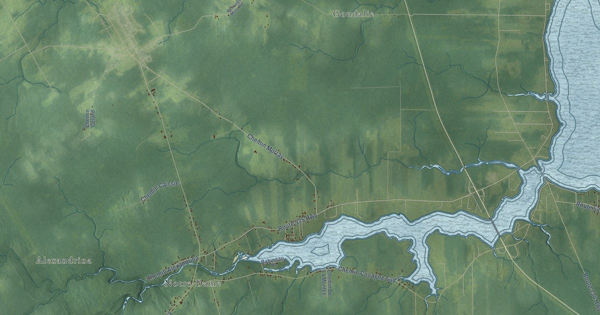
A detailed map of Dundas Parish, New Brunswick, showing every building in its true location, the roads by name, and shaded topographical relief.
Read More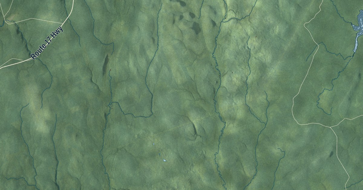
A detailed map of Drummond Parish, New Brunswick, showing every building in its true location, the roads by name, and shaded topographical relief.
Read More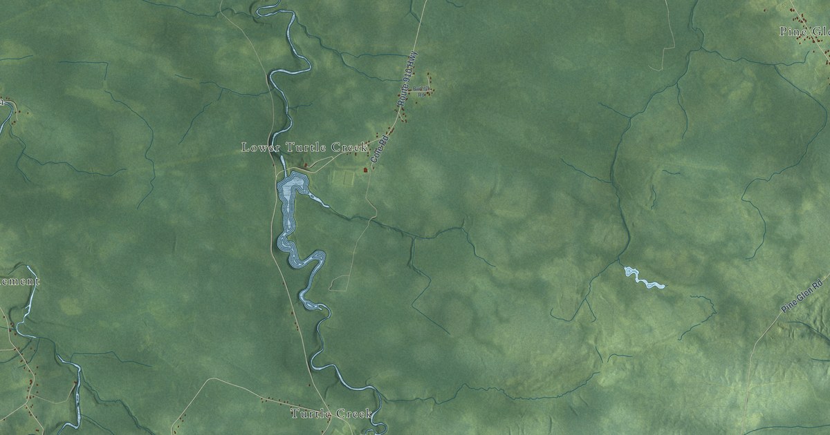
A detailed map of Coverdale Parish, New Brunswick, showing every building in its true location, the roads by name, and shaded topographical relief.
Read More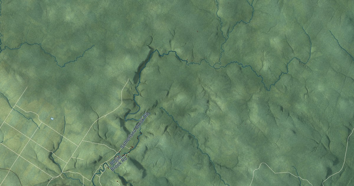
A detailed map of Denmark Parish, New Brunswick, showing every building in its true location, the roads by name, and shaded topographical relief.
Read More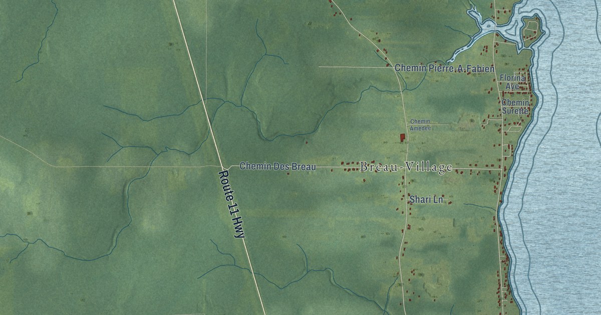
A detailed map of Cocagne, New Brunswick, showing every building in its true location, the roads by name, and shaded topographical relief.
Read More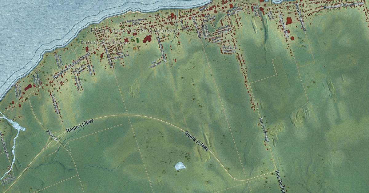
A detailed map of Caraquet, New Brunswick, showing every building in its true location, the roads by name, and shaded topographical relief.
Read More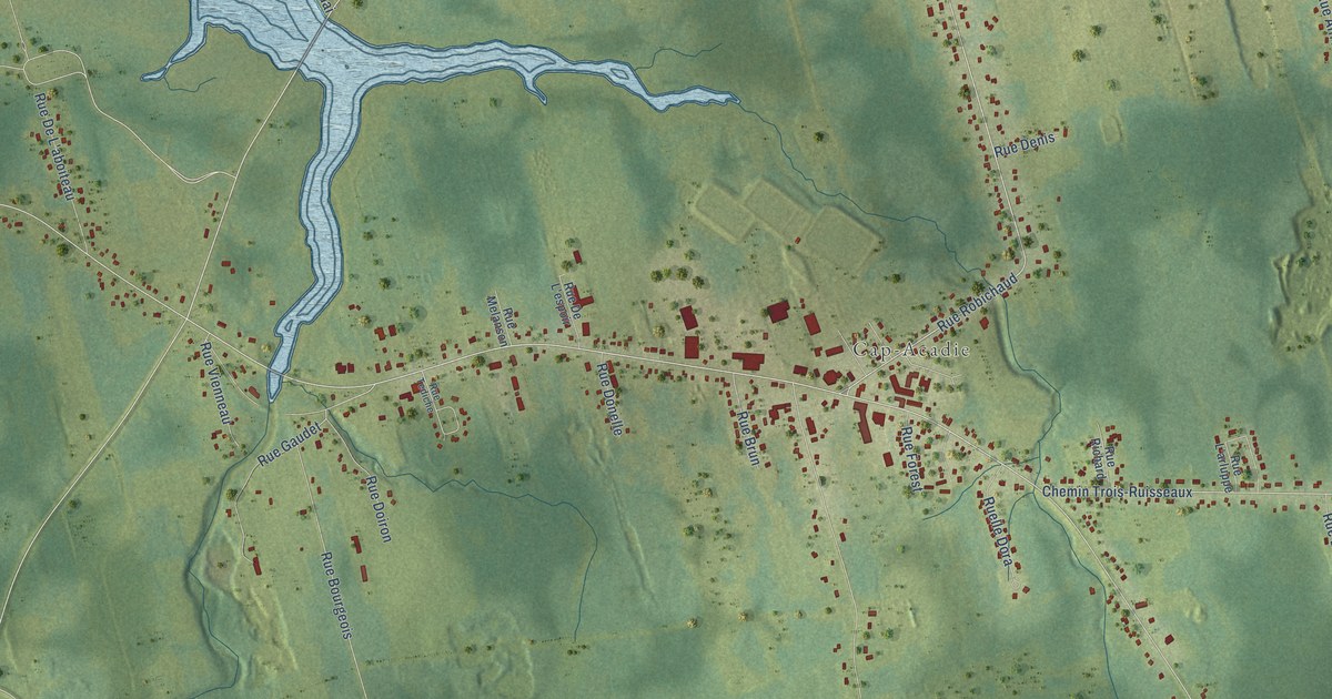
A detailed map of Cap-Pelé, New Brunswick, showing every building in its true location, the roads by name, and shaded topographical relief.
Read More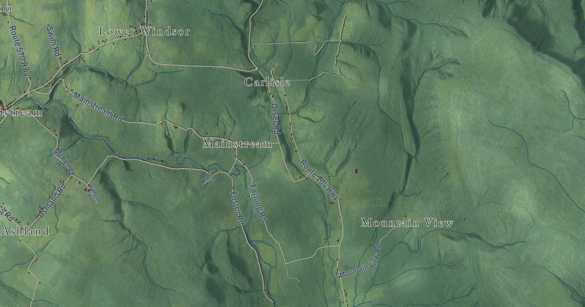
A detailed map of Brighton Parish, New Brunswick, showing every building in its true location, the roads by name, and shaded topographical relief.
Read More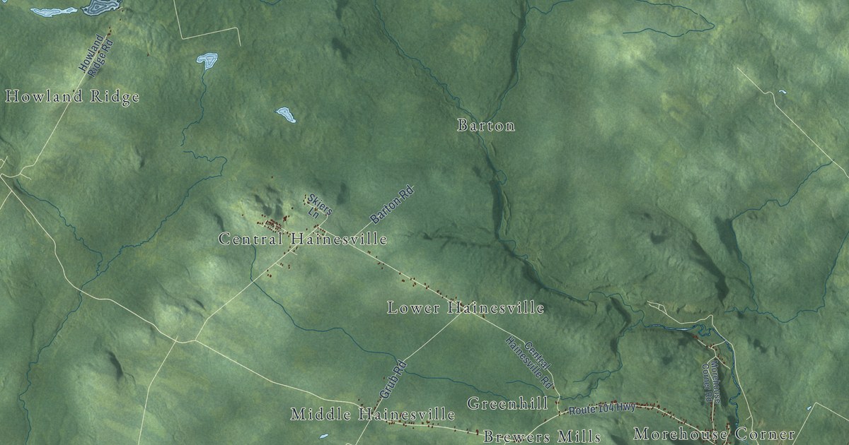
A detailed map of Bright Parish, New Brunswick, showing every building in its true location, the roads by name, and shaded topographical relief.
Read More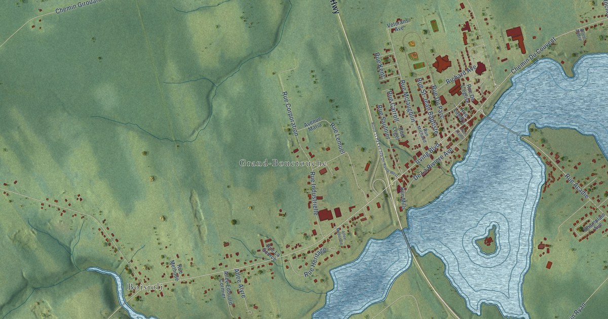
A detailed map of Bouctouche, New Brunswick, showing every building in its true location, the roads by name, and shaded topographical relief.
Read More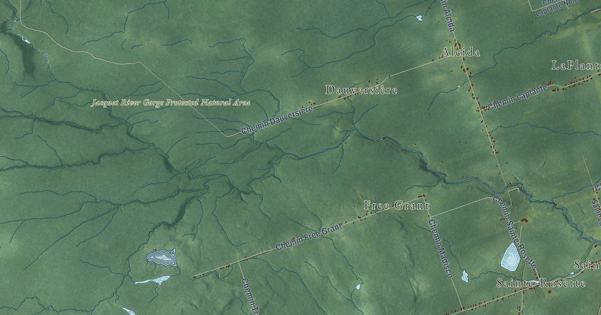
A detailed map of Beresford Parish, New Brunswick, showing every building in its true location, the roads by name, and shaded topographical relief.
Read More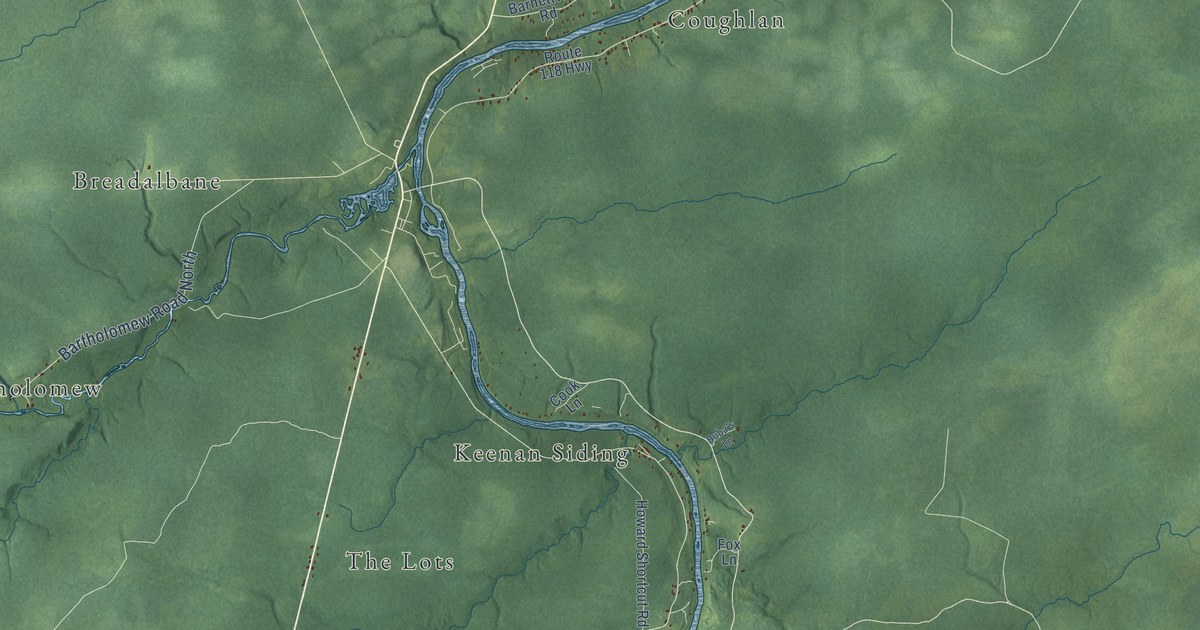
A detailed map of Blackville Parish, New Brunswick, showing every building in its true location, the roads by name, and shaded topographical relief.
Read More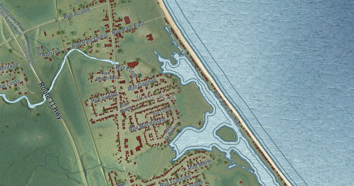
A detailed map of Beresford, New Brunswick, showing every building in its true location, the roads by name, and shaded topographical relief.
Read More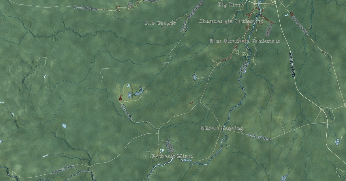
A detailed map of Bathurst Parish, New Brunswick, showing every building in its true location, the roads by name, and shaded topographical relief.
Read More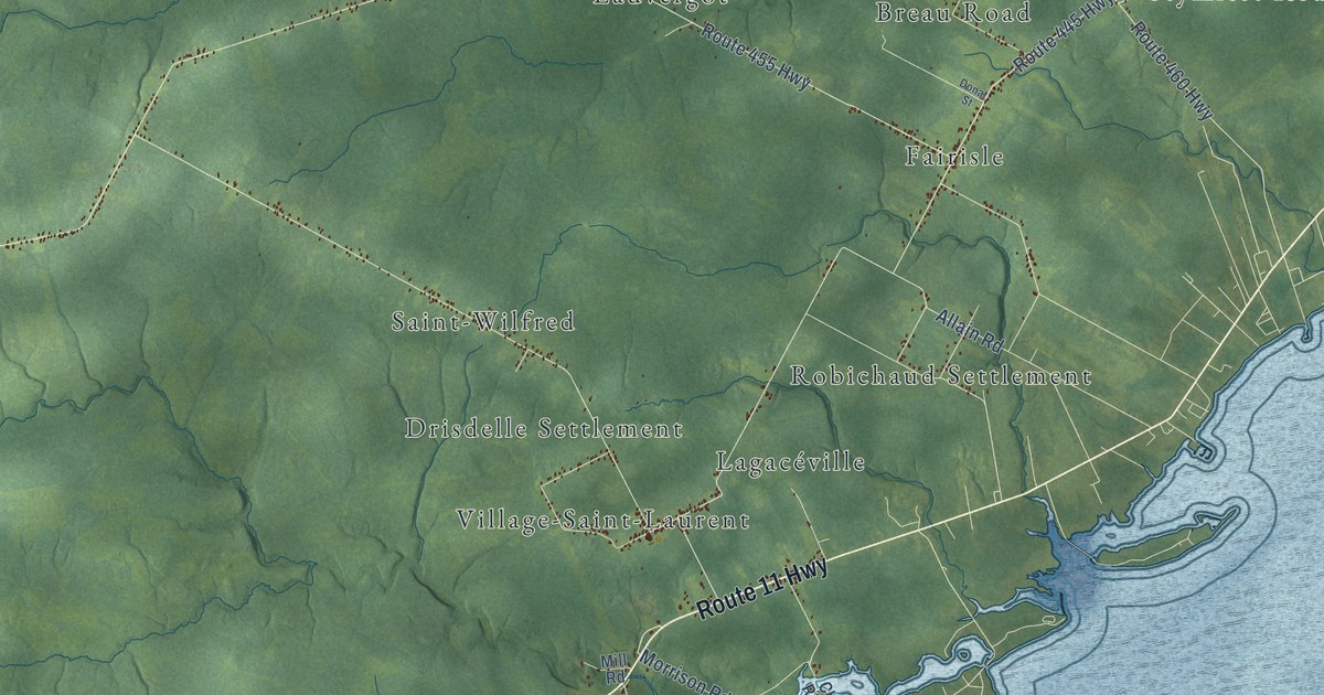
A detailed map of Alnwick Parish, New Brunswick, showing every building in its true location, the roads by name, and shaded topographical relief.
Read More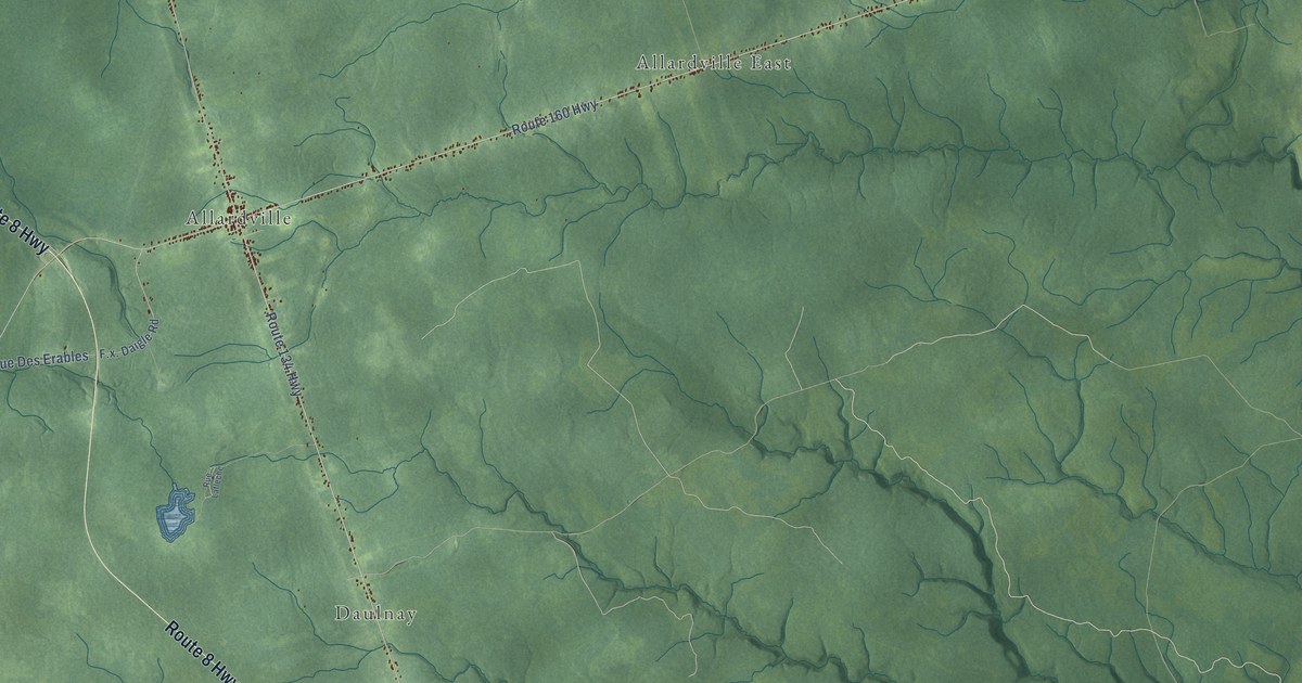
A detailed map of Allardville Parish, New Brunswick, showing every building in its true location, the roads by name, and shaded topographical relief.
Read More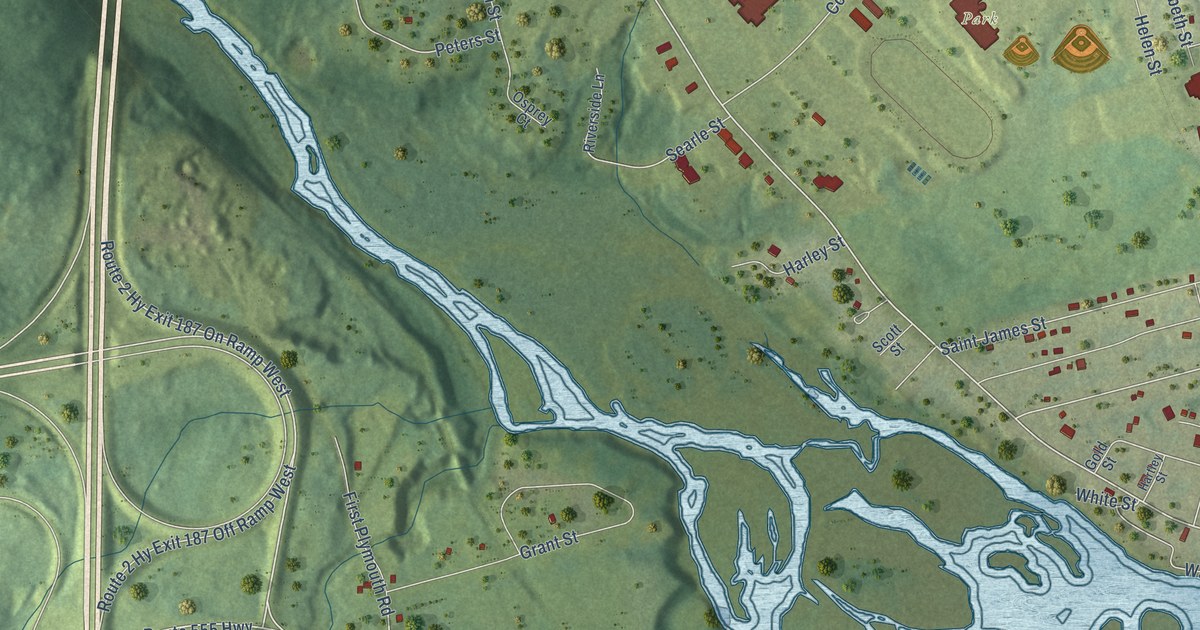
A detailed map of Woodstock, New Brunswick, showing every building in its true location, the roads by name, and shaded topographical relief.
Read More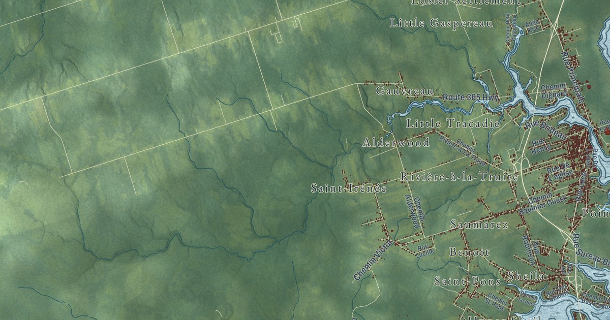
A detailed map of Tracadie, New Brunswick, showing every building in its true location, the roads by name, and shaded topographical relief.
Read More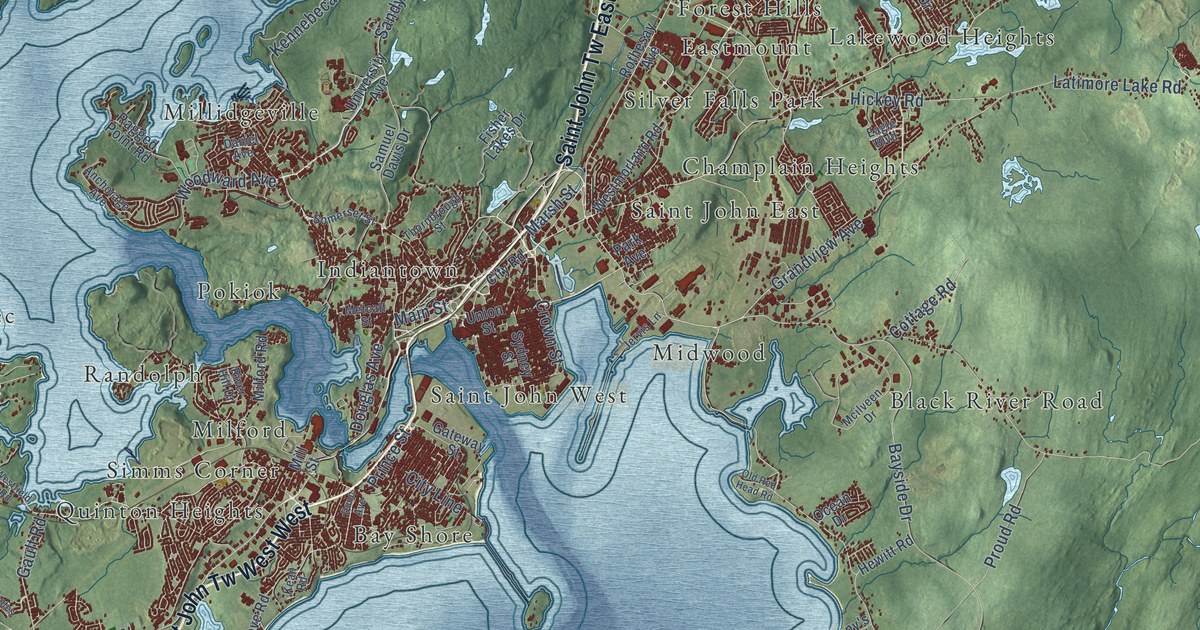
A detailed map of Saint John, New Brunswick, showing every building in its true location, the roads by name, and shaded topographical relief.
Read More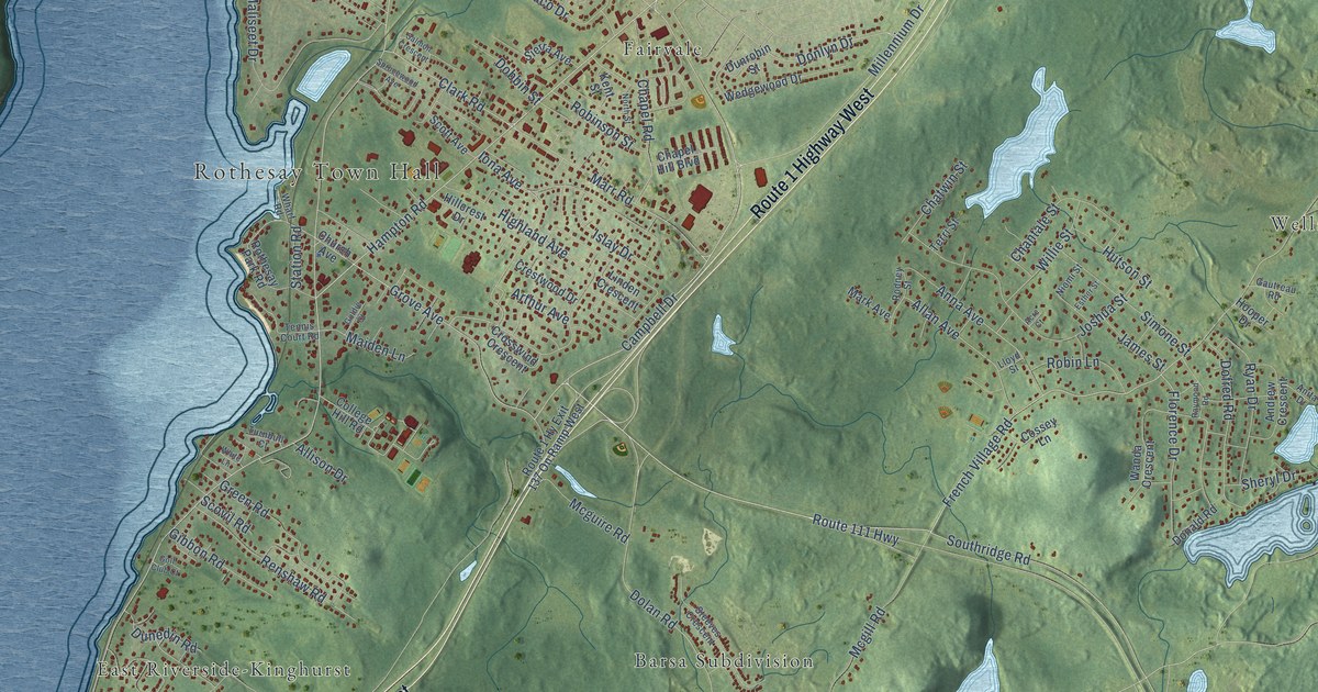
A detailed map of Rothesay, New Brunswick, showing every building in its true location, the roads by name, and shaded topographical relief.
Read More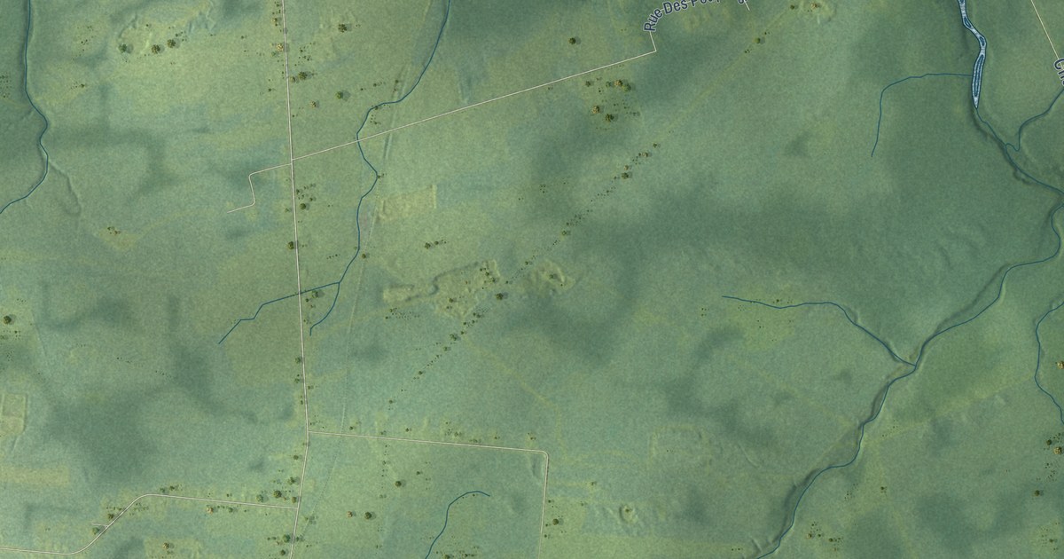
A detailed map of Shediac, New Brunswick, showing every building in its true location, the roads by name, and shaded topographical relief.
Read More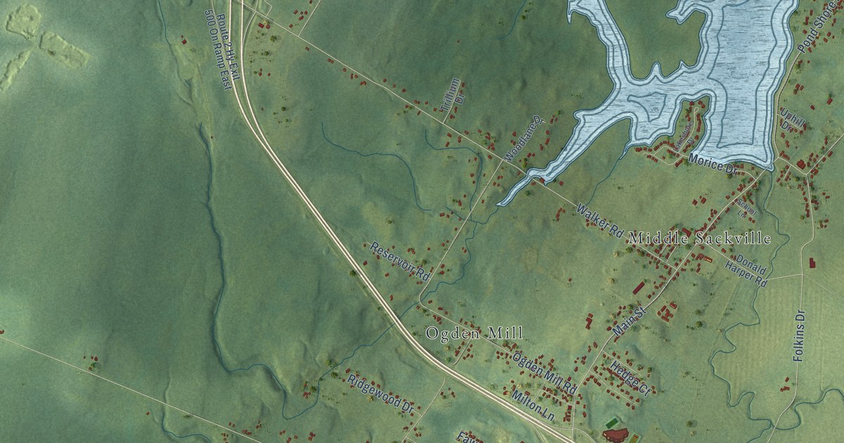
A detailed map of Sackville, New Brunswick, showing every building in its true location, the roads by name, and shaded topographical relief.
Read More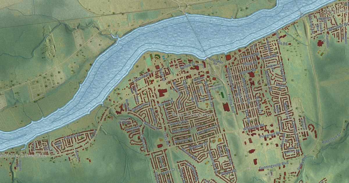
A detailed map of Riverview, New Brunswick, showing every building in its true location, the roads by name, and shaded topographical relief.
Read More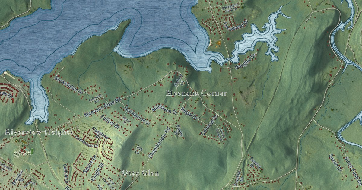
A detailed map of Quispamsis, New Brunswick, showing every building in its true location, the roads by name, and shaded topographical relief.
Read More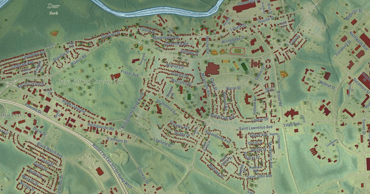
A detailed map of Oromocto, New Brunswick, showing every building in its true location, the roads by name, and shaded topographical relief.
Read More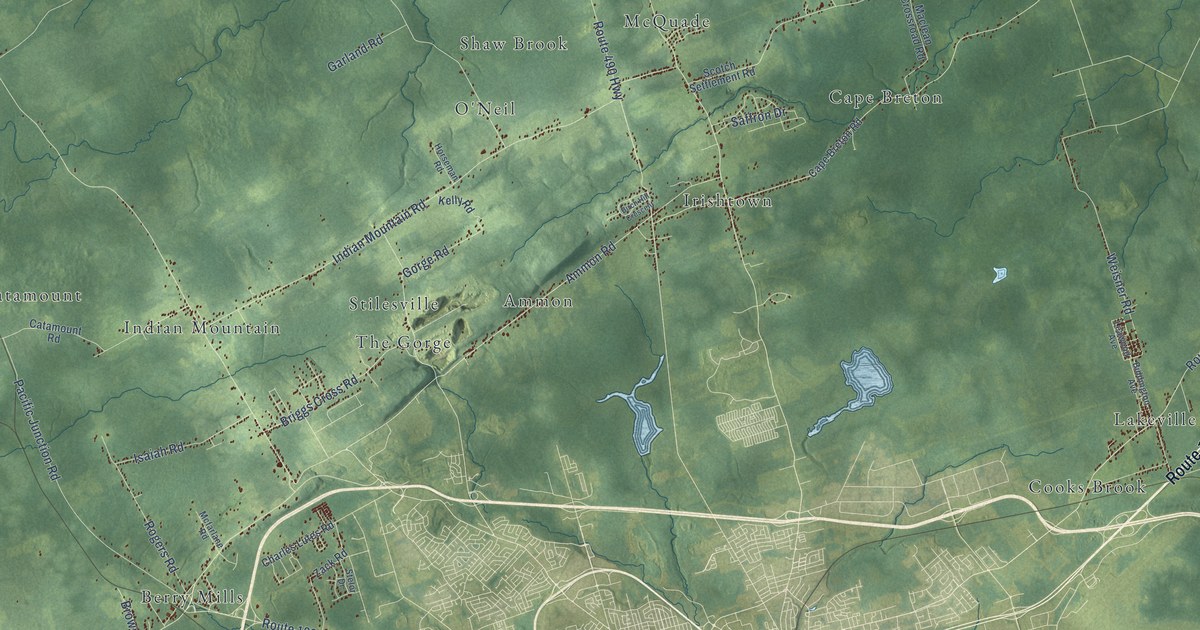
A detailed map of Moncton Parish, New Brunswick, showing every building in its true location, the roads by name, and shaded topographical relief.
Read More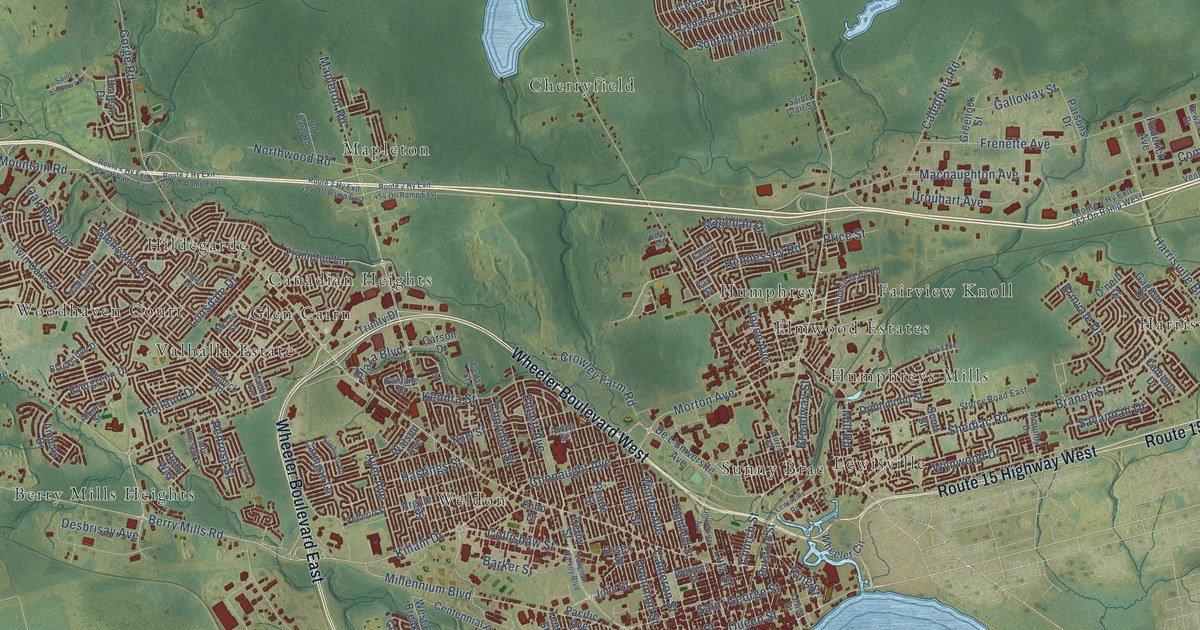
A detailed map of Moncton, New Brunswick, showing every building in its true location, the roads by name, and shaded topographical relief.
Read More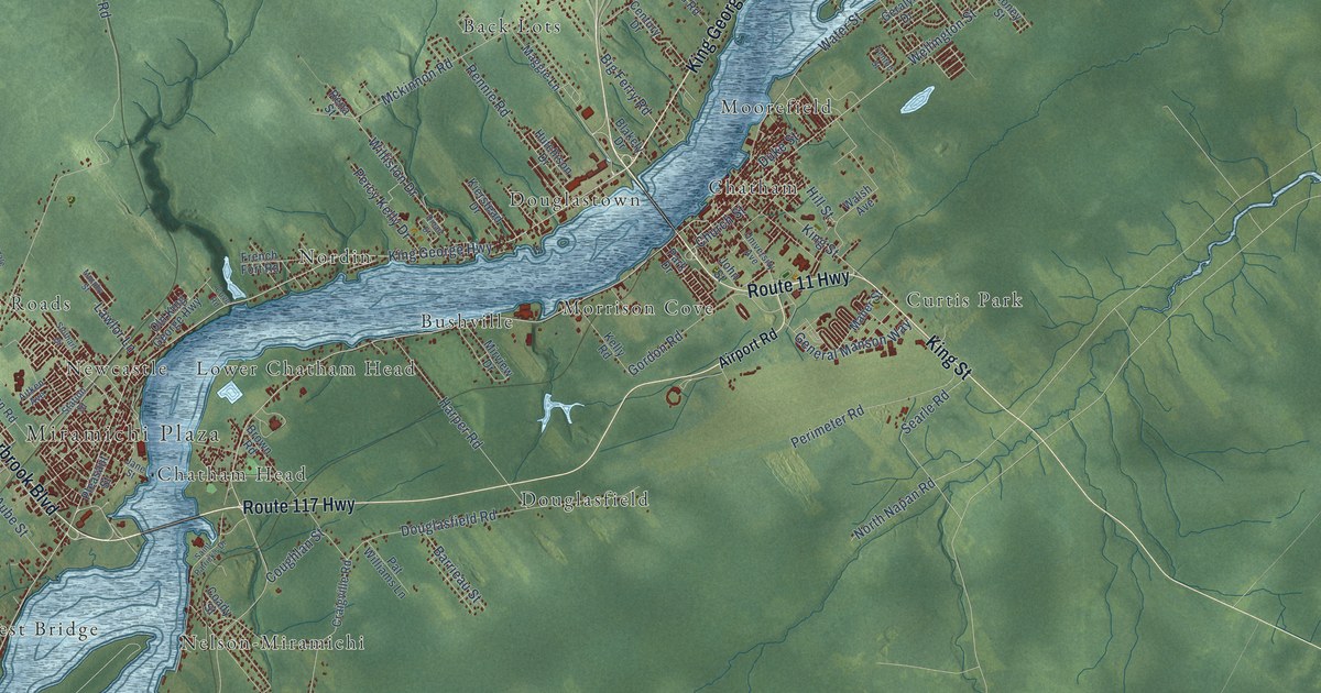
A detailed map of Miramichi, New Brunswick, showing every building in its true location, the roads by name, and shaded topographical relief.
Read More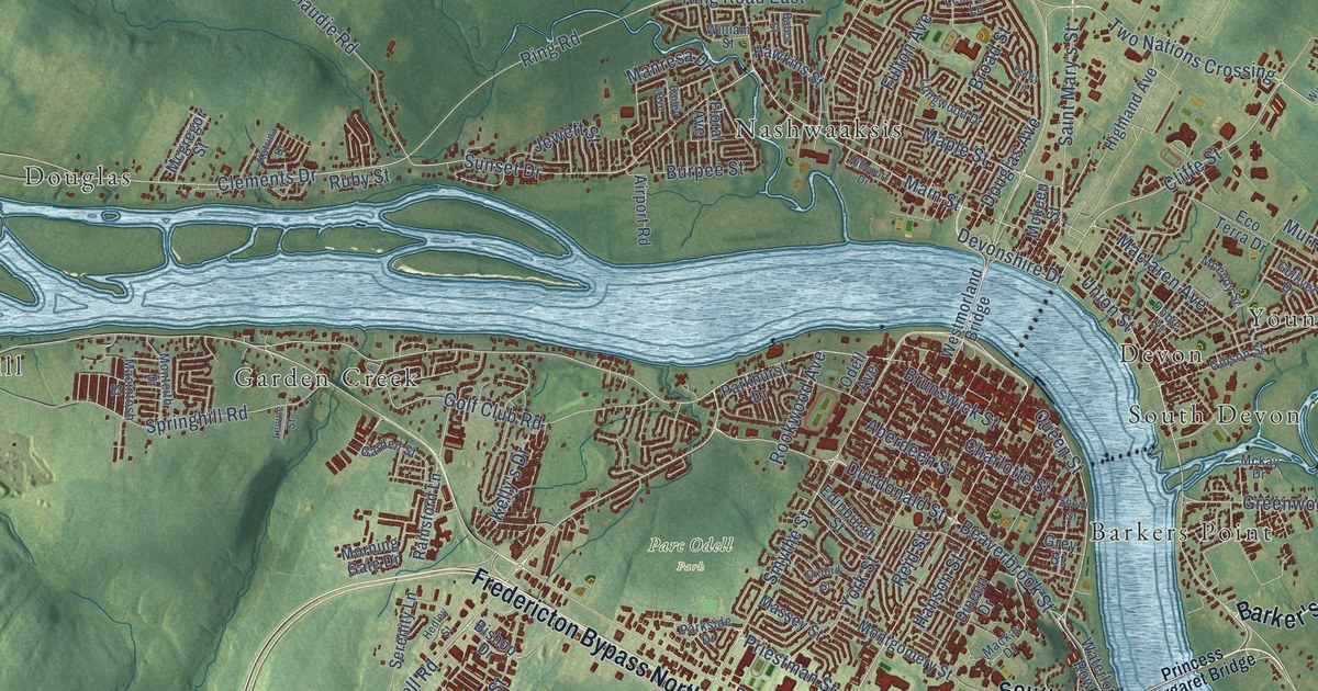
A detailed map of Fredericton, New Brunswick, showing every building in its true location, the roads by name, and shaded topographical relief.
Read More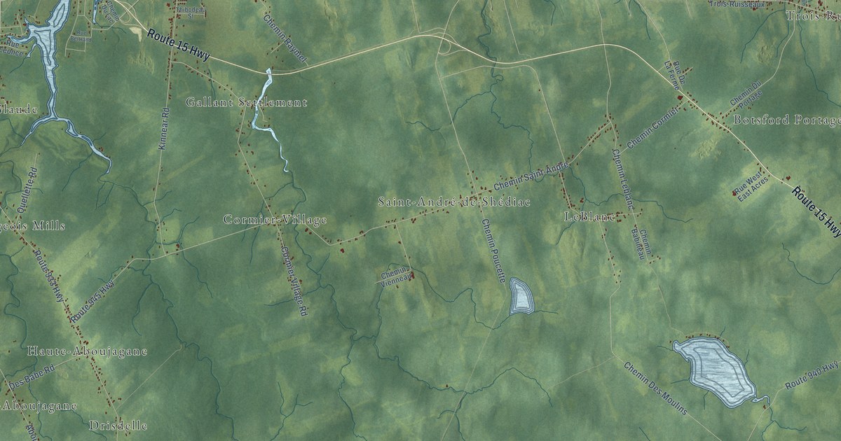
A detailed map of Beaubassin East-Beaubassin-est, New Brunswick, showing every building in its true location, the roads by name, and shaded topographical relief.
Read More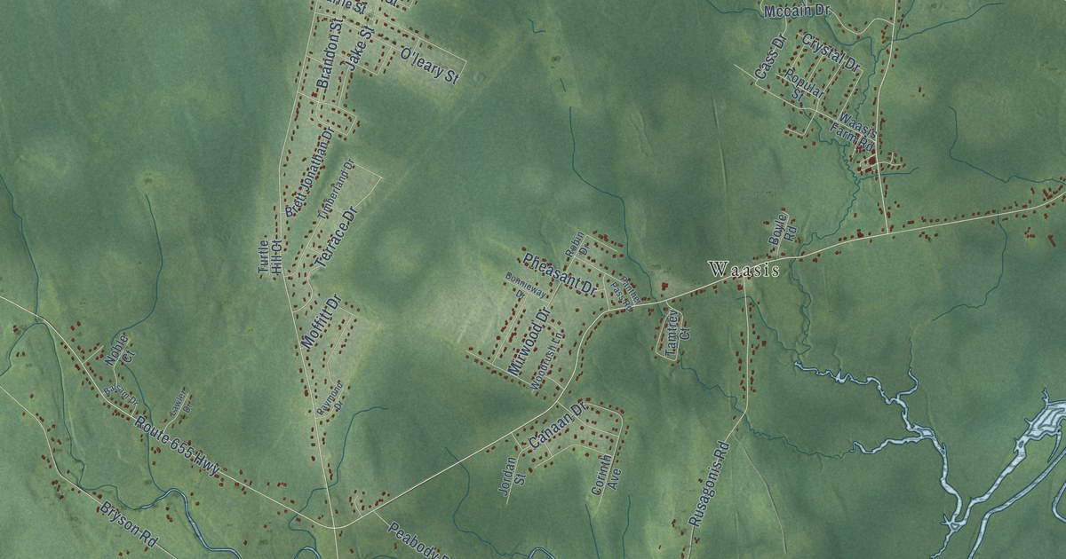
A detailed map of Lincoln Parish, New Brunswick, showing every building in its true location, the roads by name, and shaded topographical relief.
Read More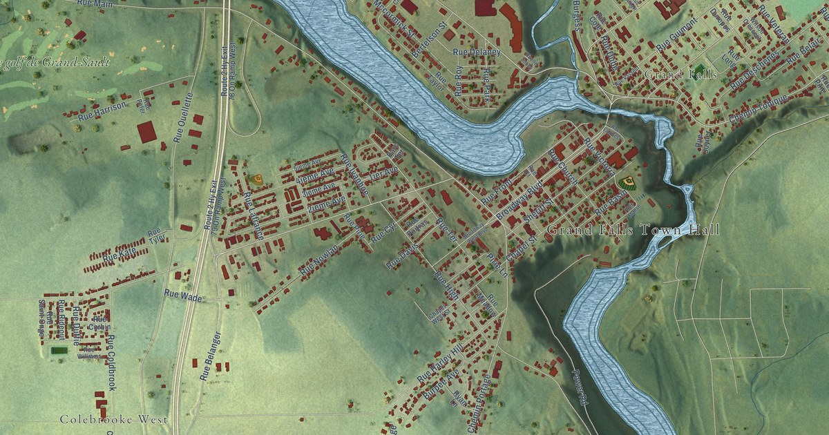
A detailed map of Grand Falls-Grand-Sault, New Brunswick, showing every building in its true location, the roads by name, and shaded topographical relief.
Read More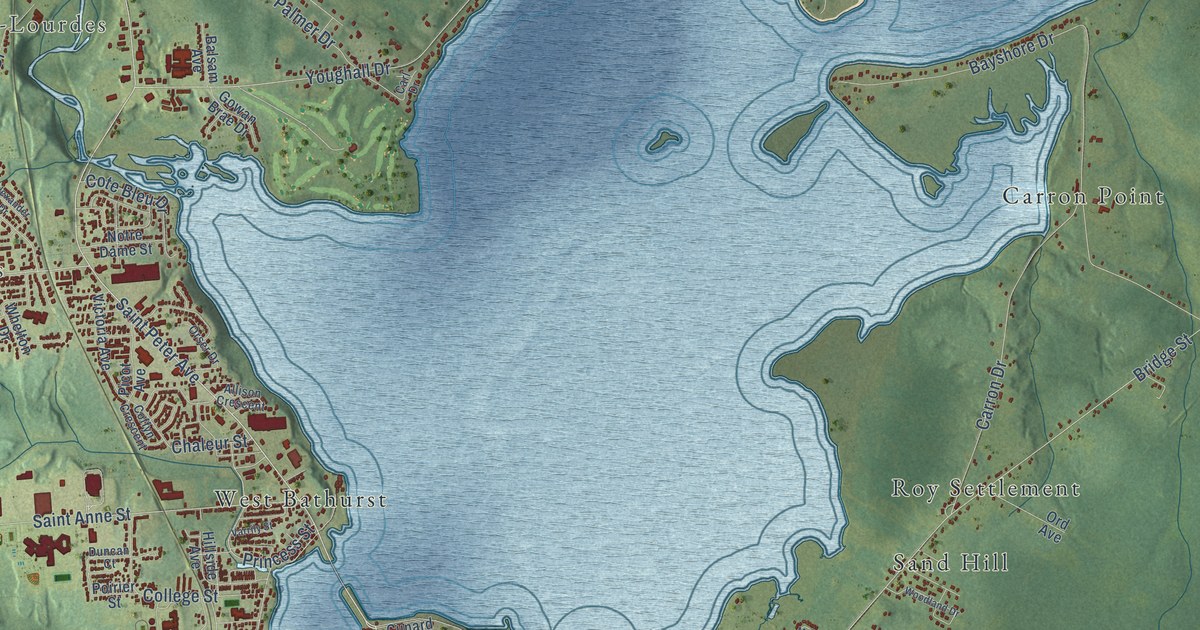
A detailed map of Bathurst, New Brunswick, showing every building in its true location, the roads by name, and shaded topographical relief.
Read More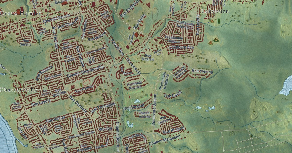
A detailed map of Dieppe, New Brunswick, showing every building in its true location, the roads by name, and shaded topographical relief.
Read More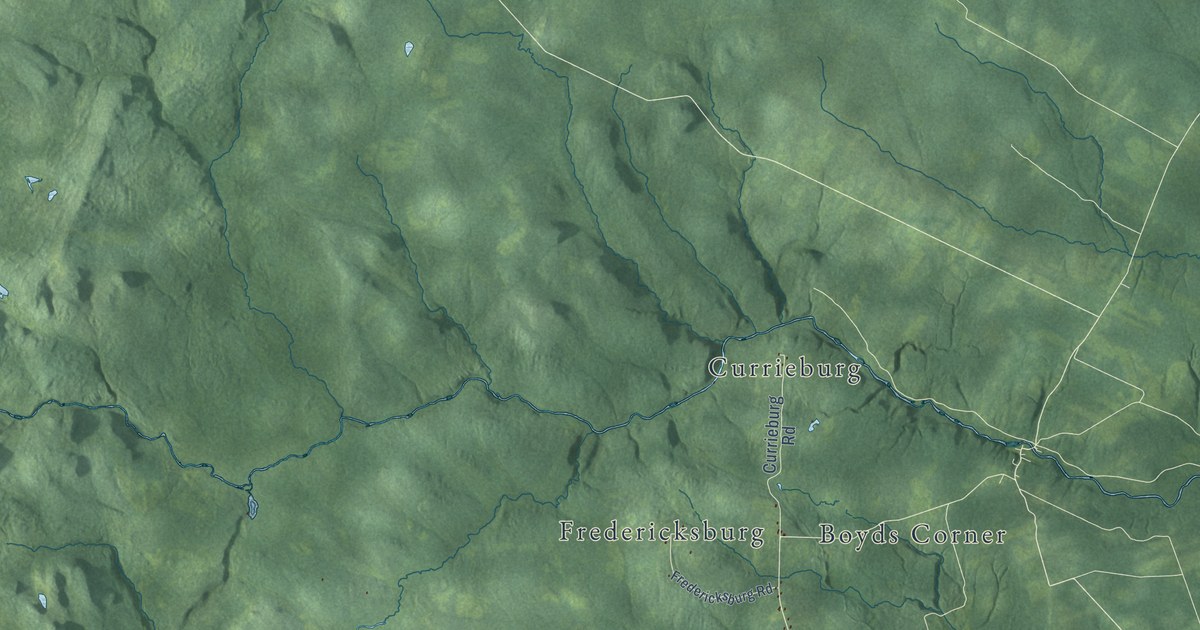
A detailed map of Douglas Parish, New Brunswick, showing every building in its true location, the roads by name, and shaded topographical relief.
Read More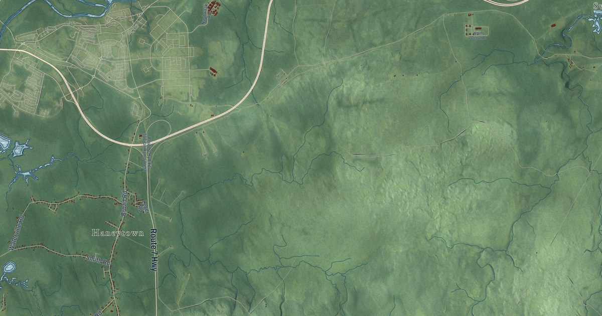
A detailed map of Burton Parish, New Brunswick, showing every building in its true location, the roads by name, and shaded topographical relief.
Read More