45 Patriotic Quotes from Presidents of the United States
Series of 45 patriotic quotes, one from each U.S. President.

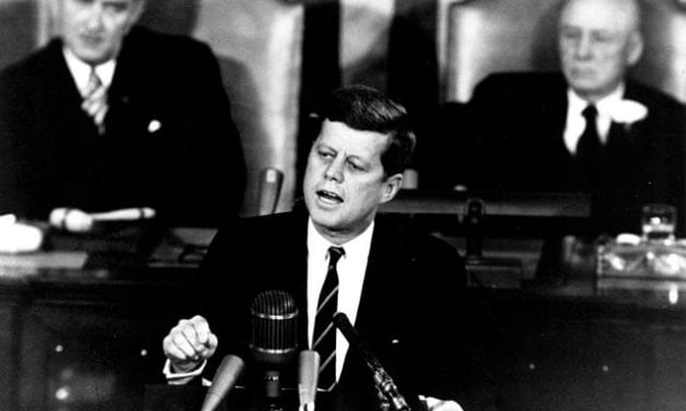
Series of 45 patriotic quotes, one from each U.S. President.
On the crest of a hill in Glen Cove, New York sits Killenworth, one of the country’s finest mansions
“No one should fear death. I know, because I have come face to face with death several times”
Every new life is a new thing under the sun; there has never been anything just like it before, and never will be again.
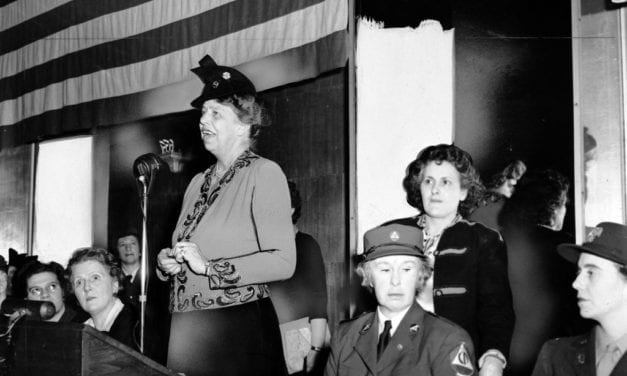
“I craved attention all through my childhood, because I was made to feel so conscious of…

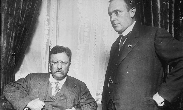
The successful man is not the man who works by fits and starts, but he who keeps constantly and quietly on his way, with his purpose like a guiding star ever in view. To be sure you are right, and then go ahead, and keep going ahead, is the true spirit.
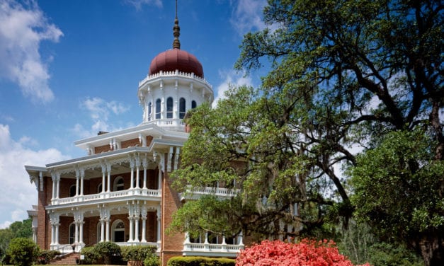
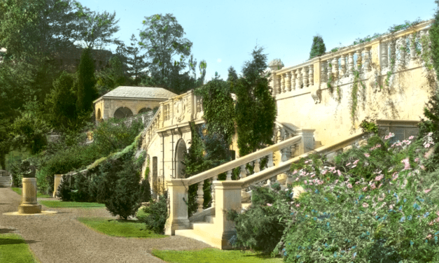
Longwood, also known as Nutt’s folly, is a grand antebellum mansion in Natchez…
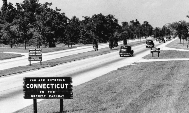
The Merritt Parkway was the first divided-lane, limited-access highway in Connecticut.
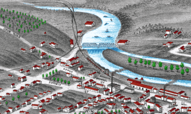
Historic bird’s eye view of Ann Arbor, Michigan from 1880
He says that at the outset almost every man is frightened when he goes into action, but…
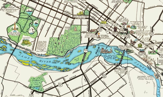
This historic map of Richmond, Virginia was created in 1937 by W.M. Lewis, and shows a beautifully...
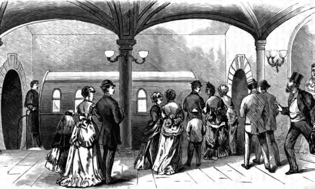
New York City’s first underground railway used pressurized air to propel train cars…

This collection of vintage beer advertising posters shows how beer and breweries were marketed in the 19th and 20th century.
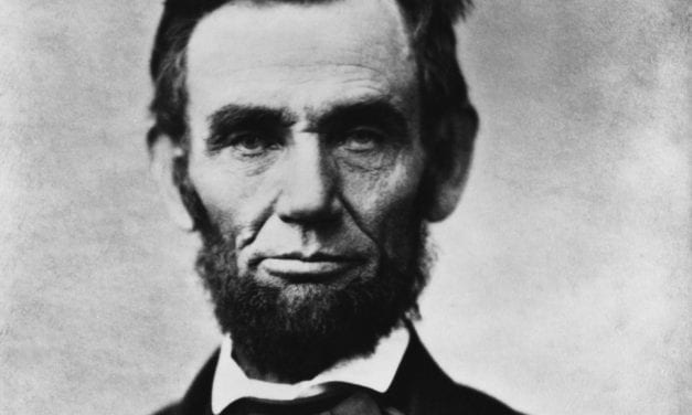
Abraham Lincoln was clean shaven his entire life until he received a letter from 11 year old…
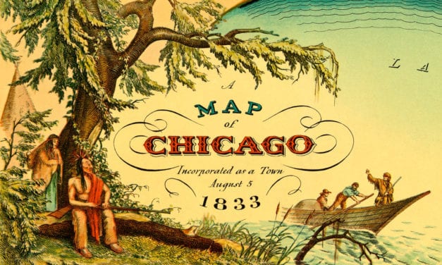
Amazing old map showing Chicago when it was first incorporated as a town in 1833
