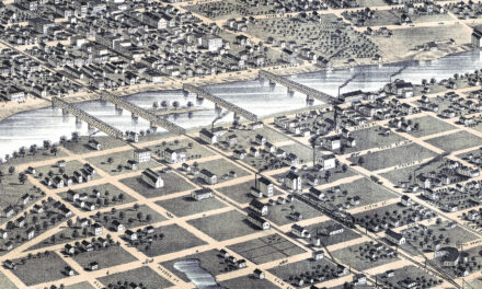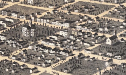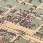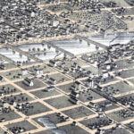
This vintage map of Decorah, Iowa was created in 1870 by Albert Ruger and J.J. Stoner, prominent 19th century map makers. The map shows a bird’s eye view of Decorah as it once was, including street names and old landmarks.
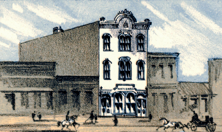
Historic Decorah landmarks on the map include Winneshiek County Court House, Union School, Norwegian Luther College, Milwaukee & St. Paul Railroad Depot, Congregational, Methodist, Catholic Churches, and more.
This vintage map of Decorah has been lovingly restored by KNOWOL. Reproductions of the restored map are available here.
Decorah, Iowa 1870 Vintage Map
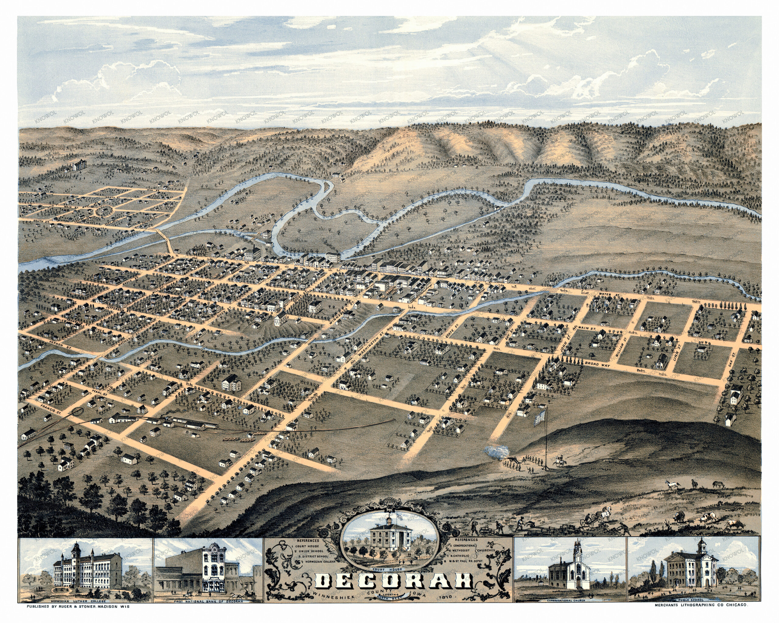
This beautifully restored map of Decorah makes an attractive addition to your office, library, or den and can even be used to teach children the geography and history of the area. When you’re done exploring, click here to get your copy of the restored map.