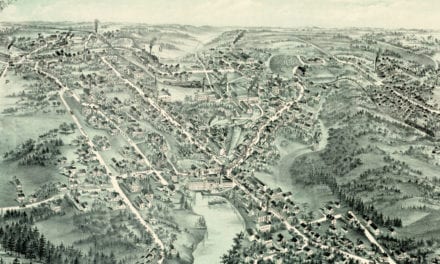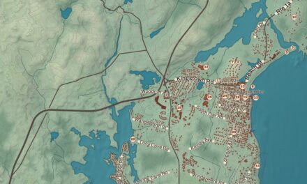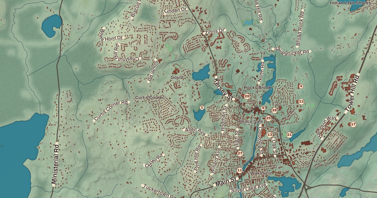
Main Street in Wakefield, the mill buildings of Peace Dale and the old houses of Kingston beside the university: South Kingstown is a town of villages. This map prints Wakefield and Peace Dale with the Wakefield Historic District, the Peace Dale Historic District and the Kingston Village Historic District, the Washington County Court House, Tri-Pond Park, Tuckertown Park and South Road. Theatre by the Sea, down in Matunuck, has its place on the sheet too.
South Kingstown is in Washington County, and it’s the county seat, on Block Island Sound.
KNOWOL made this map in 2026 from public survey records and gave it the look of an old atlas. The shaded relief around Tri-Pond Park and Tuckertown Park comes from United States Geological Survey elevation data. The streets come from Census Bureau files, down to South Road, and the Census Bureau puts the town at 79.8 square miles, 57.1 of them land. The Wakefield Historic District and the Washington County Court House are on the National Register of Historic Places, and we checked them against National Park Service records. South Kingstown had 31,931 people at the 2020 census.
Pettaquamscutt and Kingstown
The Narragansett people kept a winter camp in the Great Swamp, inside today’s town. In March 1638 Roger Williams and the Narragansett sachems Canonicus and Miantonomoh signed an agreement at Pettaquamscutt Rock, now in South Kingstown, setting the line between the tribe and the colony, and in 1658 Williams met the sachems there again for the Pettaquamscutt Purchase, which took in much of what’s now Washington County. In 1723 the General Assembly divided the old town of Kingstown into North Kingstown and South Kingstown, and in 1888 a narrow strip along the Pettaquamscutt River was set off as the town of Narragansett. By total area, its page says, South Kingstown is the second largest town in Rhode Island, after New Shoreham. It counts 31 sites on the National Register, four of them historic districts.
Peace Dale
Rowland Hazard founded Peace Dale in 1793 and named it for his wife, Mary Peace Hazard. Its page says he reputedly pioneered carding machines for wool in Rhode Island around 1804, and that in 1814 he was one of the first American manufacturers to use narrow power looms and the first woolen maker to put every step, from carding to dyeing, under one roof. His sons ran the Peace Dale Manufacturing Company after him, and his grandson Rowland Hazard II, an amateur architect, designed a stone weaving mill and an office building in 1856 and went on to influence buildings that make up more than half of the village today. The mills made wool until 1948. The Peace Dale Historic District, listed in 1987, keeps the Greek Revival woolen mill of 1847, the Gothic Revival Congregational church begun in 1870 and the Hazard Memorial, a Romanesque hall begun in 1890 that’s now the Peace Dale Library.
Caroline Hazard, Rowland Hazard II’s daughter, was born in Peace Dale in 1856. She ran welfare programs in the village, wrote poetry and Rhode Island history, and in 1892 founded the Peace Dale Museum of Art and Culture, whose collections hold artifacts of the Narragansett people. From 1899 to 1910 she was the fifth president of Wellesley College, where enrollment doubled under her leadership, and she was buried in South Kingstown.
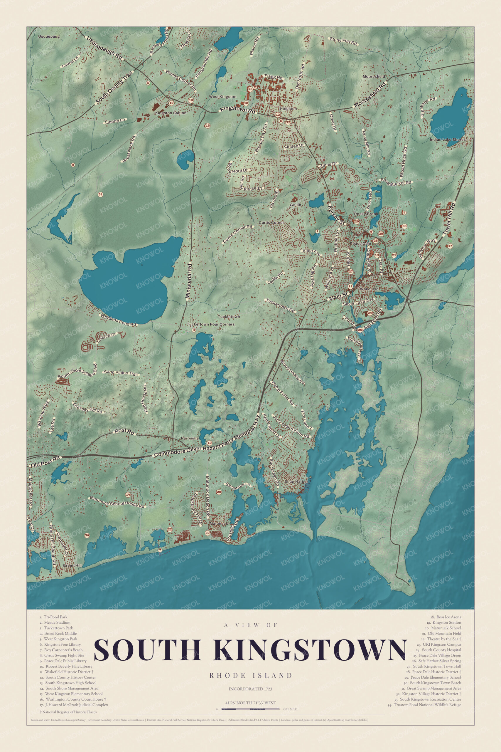
Click to explore a larger preview. The digital watermark does not appear on printed maps.
Names on this map
These names are printed on this map.
Places: Mooresfield, Peace Dale, Rocky Brook, Wakefield, West Kingston, Perryville, Great Swamp, Green Hill and Matunuck Beach.
Streets and roads: Liberty Ln, Mooresfield Rd, Plains Rd, Old North Rd, Omer Dr, Hill Rd, Broad Rock Rd, Main St, Lake Ave and Succotash Rd.
Wakefield
Wakefield grew where the old Post Road crossed the Saugatucket River. A small mill started it in the early 1700s, a tavern and stagecoach stop opened in 1745, and a carding mill arrived in 1807. The village was called McCoon’s Mill until about 1820, when the elder Rowland Hazard renamed it for Wakefield in England and a family of that name who were his friends. As Peace Dale grew into the manufacturing village, Wakefield became the town’s place to shop: Kenyon’s Department Store opened in 1856, the town hall went up in 1877, and the Narragansett Pier Railroad stopped here from 1876. That line is now the William C. O’Neill Bike Path. The Wakefield Historic District, along Main Street between Belmont Avenue and Columbia Street, joined the National Register in 1996 and has grown since, to 53 properties on 400 acres.
Kingston and the court house
Kingston was called Little Rest until 1826, and it was the county seat from 1752 until 1894. In the late 1780s the preacher known as the Public Universal Friend lived and preached here for a time. The town created its own Kingston Historic District in 1959, and in 1974 much of the village became the Kingston Village Historic District on the National Register, with 38 buildings from the 18th and 19th centuries just outside the campus of the University of Rhode Island. The university began here in 1888 as the Rhode Island Agricultural School and took its present name in 1951. The Washington County Court House on Kingstown Road was built in 1892 and joined the Register in 1992. Courts have met since 1991 in the McGrath Judicial Complex in Wakefield, and the old building is now the Courthouse Center for the Arts.
Theatre by the Sea
On Cards Pond Road in Matunuck, Alice Jaynes Tyler turned an old shingled barn on her summer property into a 300-seat theater during the Depression, to create jobs, and it opened on August 7, 1933. Marlon Brando, Carol Channing, Groucho Marx and Mae West all played there. In 1967 the press agent and producer Tommy Brent saved it from demolition by mere hours, and it joined the National Register in 1980. Tri-Pond Park and Tuckertown Park are on the map as well.
This map of South Kingstown suits an office, library or den, and it can help teach children the geography and history of a town of mill villages, a university and the sea. KNOWOL made it in 2026 for people who call South Kingstown home, from Wakefield to Peace Dale, and it shows the town as it looks today. Zoom in on the preview above to explore the details, then click here to get your copy of the South Kingstown map.

Sources