


Rhode Island Town Maps A to Z
All 85 town maps, from Ashaway to Wyoming. Each one opens its own page with the whole map.
A
B
C
D
E
F
G
H
J
K
L
M
N
P
Q
R
S
T
V
W
Don’t see your town? Ask us to draw it.
About Rhode Island
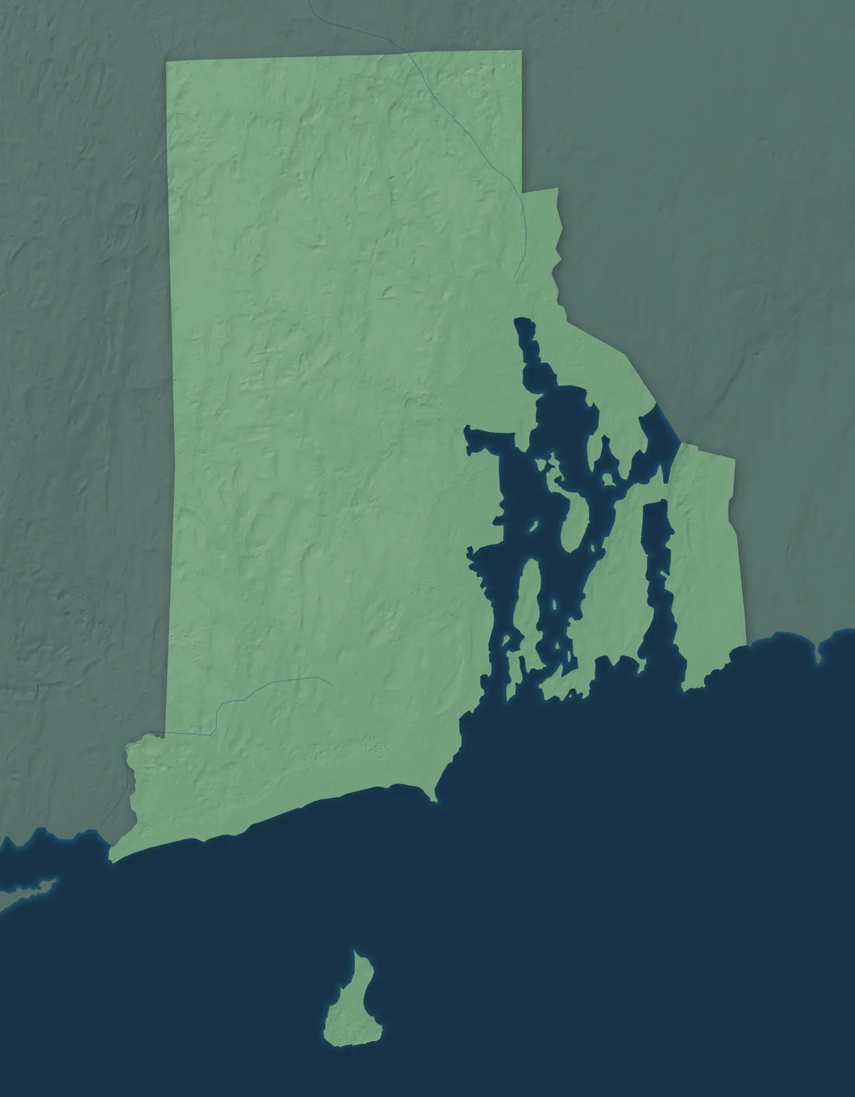
Narragansett Bay reaches deep into Rhode Island, from the Atlantic up to Providence, and holds more than 30 islands. West of the bay, the land rises into low, wooded hills toward the Connecticut line, and Block Island lies out at sea. On May 4, 1776, Rhode Island became the first colony to give up its loyalty to the British king. It was also the last of the 13 to ratify the Constitution.
About 6 in 10 Rhode Islanders live in Providence County. Roger Williams founded Providence in 1636 after the Massachusetts Bay Colony banished him for his beliefs, and Portsmouth and Newport followed within a few years. Later, mill villages grew up along the Blackstone and Pawtuxet rivers. Rhode Island has a larger share of people with Portuguese roots than any other state.
- Statehood
- May 29, 1790
- Capital
- Providence
- Population
- 1,114,5212025 Census estimate
- Highest point
- Jerimoth Hill, 811 feet
- Lowest point
- Atlantic Ocean, sea level
- Size
- 1,545 square miles, the smallest state
Providence and the Blackstone Valley
Providence and Cranston sit at the head of Narragansett Bay, and wooded hill towns like Scituate, Glocester and Foster lie to the west. Brown University, one of the oldest colleges in the country, moved to College Hill in Providence in 1770. Samuel Slater's mill on the Blackstone River in Pawtucket, built in 1793, was one of the first water-powered cotton mills in America. Woonsocket's mills drew so many French-Canadian families that it has called itself the most French city in the United States.


Warwick and Kent County
Warwick, the state's third-largest city, runs along the west shore of Narragansett Bay, with East Greenwich to the south and Coventry and West Warwick inland. In 1772, Providence men burned the British customs schooner Gaspee after it ran aground off Warwick. Fruit of the Loom traces its start to 1851 at the Pontiac Mills in Warwick. Revolutionary War general Nathanael Greene built his house in Coventry in 1770, and it still stands.


South County and Block Island
South County stretches along the coast from North Kingstown and Narragansett to Westerly, with beaches and salt ponds on the shore and Block Island offshore. Gilbert Stuart, whose portrait of George Washington is on the dollar bill, was born in Saunderstown in 1755. At Watch Hill, the horses of the Flying Horse Carousel, built around 1876, hang from chains and swing out as it turns. The Narragansett Indian Tribe's August Meeting in Charlestown is the oldest recorded powwow in North America.


Newport and the East Bay
Newport, Middletown and Portsmouth share Aquidneck Island, the largest island in the bay, and Bristol, Warren and Barrington make up the East Bay. Newport's Touro Synagogue, dedicated in 1763, is the oldest standing synagogue building in the country. The Breakers, the Vanderbilt family's 70-room summer home, was finished in 1895 and is now open to visitors. Bristol has held a Fourth of July celebration every year since 1785, the oldest in the country.


- 12 × 18 inPrint $39.99Framed $89.99
- 18 × 24 inPrint $49.99Framed $129.99
- 24 × 36 inPrint $89.99Framed $199.99

Sizes and Prices
Every map comes in three sizes on archival matte paper. Framed prints come in black or white wood.
How each map is made
It starts with the real place
Streets, buildings, terrain and water form the map, drawn the way Rhode Island looks today.
Then the details
Local research and an old atlas style give each town its character.
Then it's yours
Look around the map, then pick a print to keep or give.