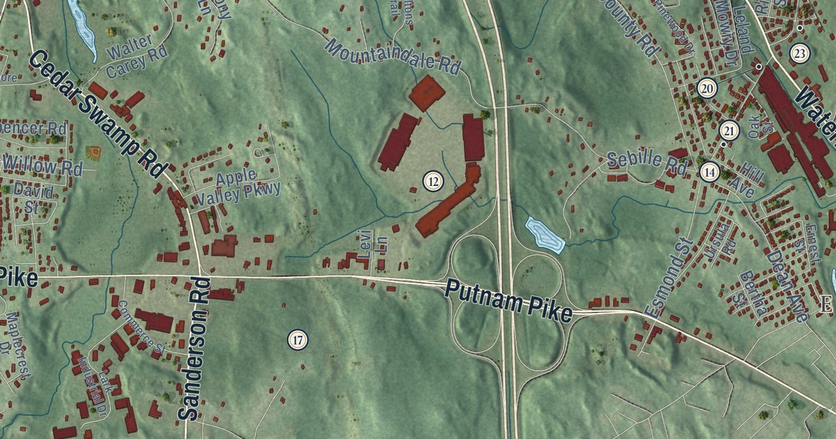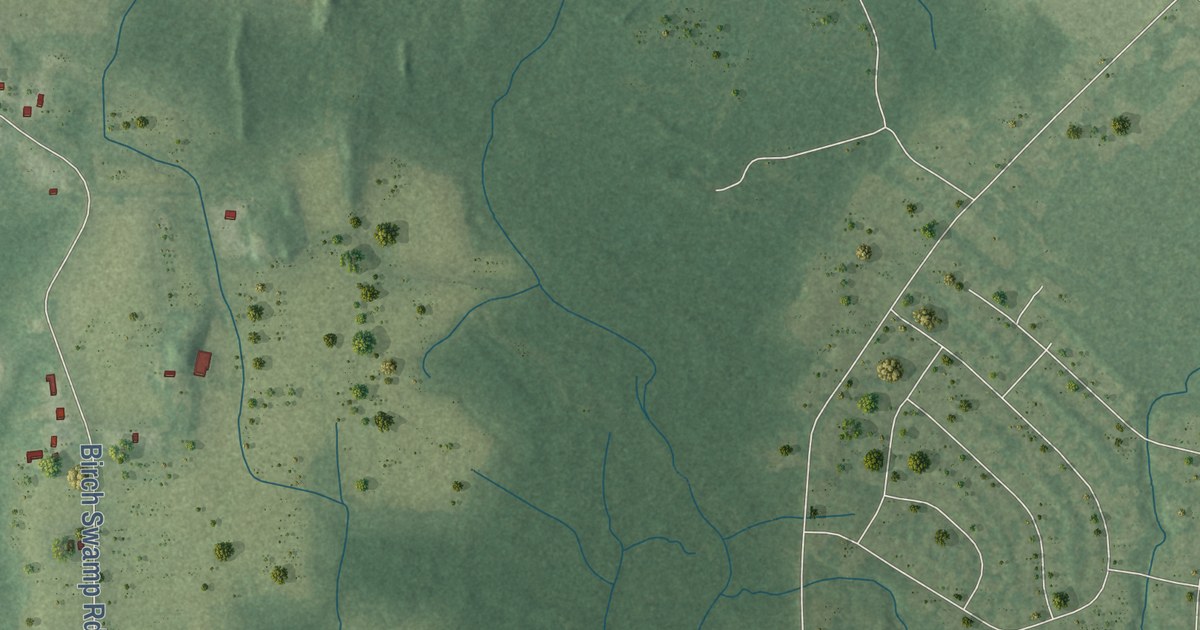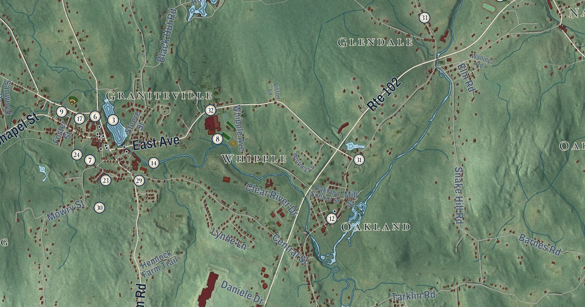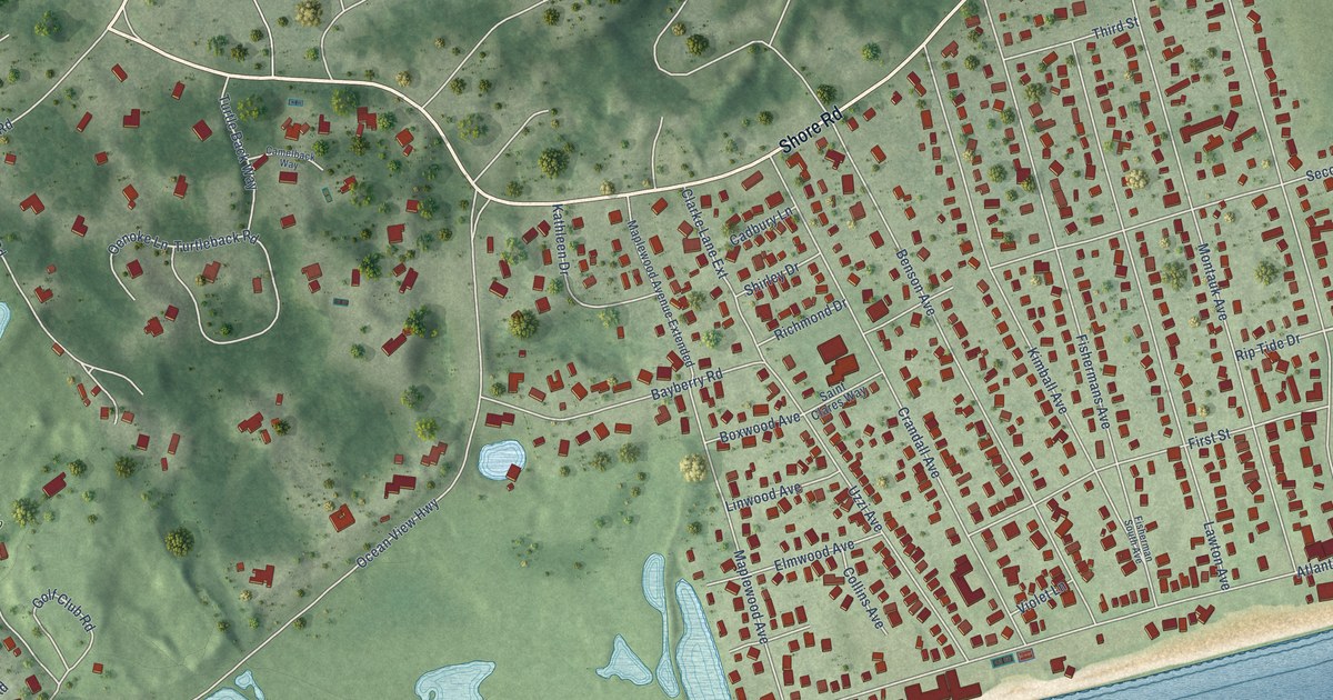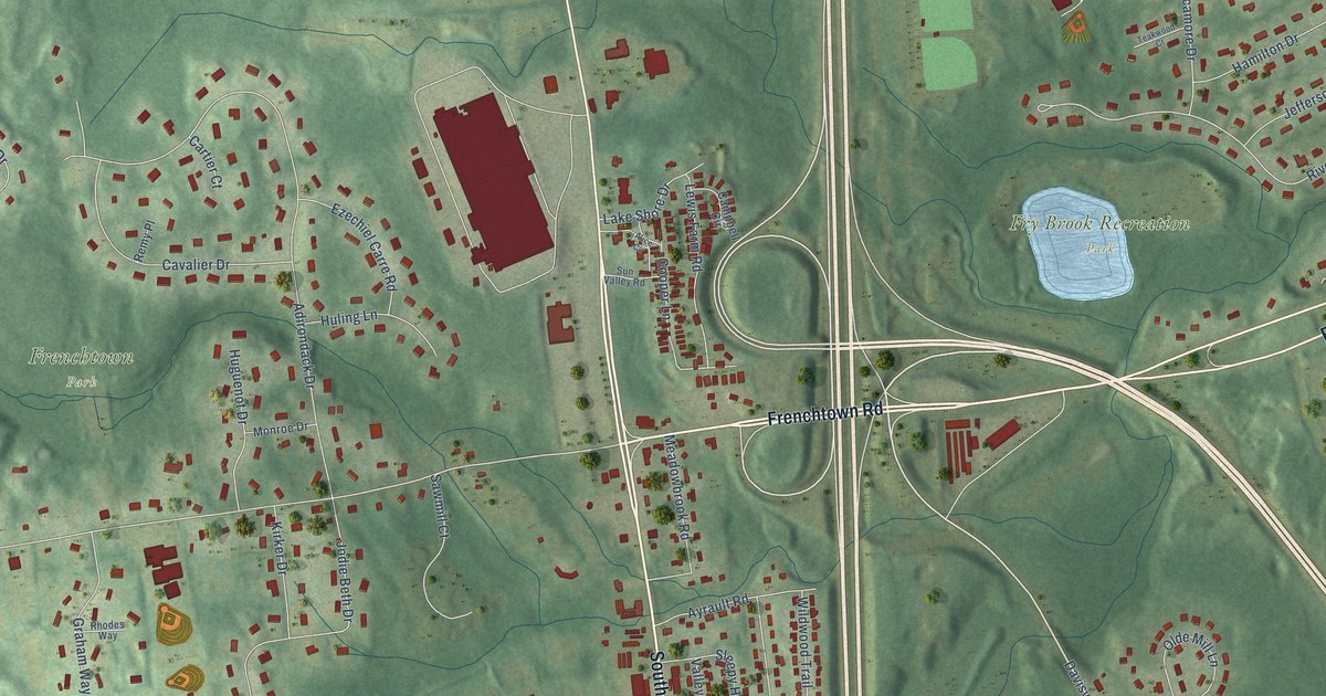
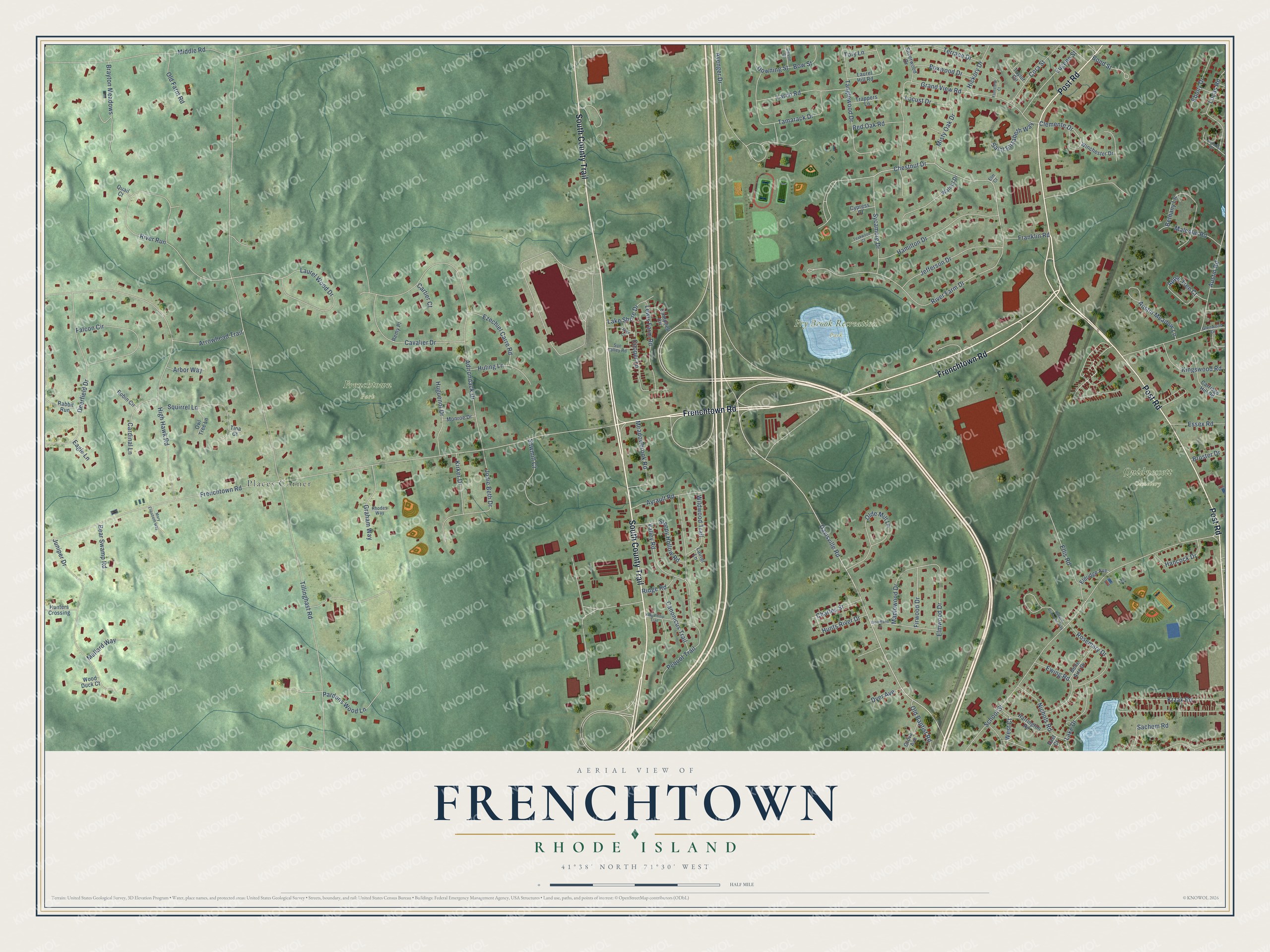
This beautifully detailed map of Frenchtown, Rhode Island was created in 2026 using aerial imagery combined with modern topographical, census, street and landmark data. It’s a one-of-a-kind view of Frenchtown that combines accurate data with a vintage aesthetic. The map shows every building in its true location, many of the roads carry their names, and the shaded topographic relief shows the shape of the land.
Explore an aerial view of Frenchtown, Rhode Island
On the map you’ll find Frenchtown Park, Fry Brook Recreation Park, Quidnessett Cemetery, and Places Corner, along with Post Road, Frenchtown Road, South County Trail, Davisville Road, Chestnut Drive, Clemente Drive, Jodie Beth Drive, Tillinghast Road, and more. If you look closely you can even find your house accurately drawn in its correct location. Zoom in on the preview to look for yours.
Did You Know?
From Internet Archive: "Peter Mawney, of East Greenwich, belonged to the family of that name, which came, with other Huguenots, and settled the south-western portion of East Greenwich, still (for that reason) known as Frenchtown."
Frenchtown is a community in Kent County.
Take a closer look at the Frenchtown map
Names on this map
These names are printed on this map.
Places: Frenchtown Park, Fry Brook Recreation Park, Quidnessett Cemetery and Places Corner.
Streets and roads: Post Road, Frenchtown Road, South County Trail, Davisville Road, Chestnut Drive, Clemente Drive, Jodie Beth Drive, Tillinghast Road, School Street, High Hawk Road, Adirondack Drive, Grand View Road.
More street names, A to Z
Alice Circle, Apple Tree Court, Arbor Way, Arrowhead Trail, Austin Meadow Lane, Austin Road, Avenger Drive, Ayrault Road, Bear Swamp Road, Belle Aire Drive, Bethany Lane, Bond Street, Bow Street, Boxwood Drive, Brayton Meadows, Bruster Drive, Campbell Circle, Canonicus Trail, Cardinal Lane, Carriage Hill Road, Cartier Court, Cavalier Drive, Charles Street, Cooper Lane, Cora Street, Cypress Court, Deerfield Drive, Devon Court, Downing Street, Dyer Avenue, Eagle Lane, East Court, Ebony Drive, Eldridge Avenue, Ellis Road, Elm Court, Elmwood Drive, Essex Road, Eugene Street, Ewing Road, Ezechiel Carre Road, Falcon Circle, Firwood Drive, Flintstone Court, Franklin Road, Glenwood Drive, Graham Way, Grove Avenue, Hamilton Drive, Hancock Drive, Harrington Road, Hickory Drive, Huguenot Drive, Huling Lane, Hunters Crossing, Hunts River Drive, Jefferson Drive, Juniper Drive, King Philip Trail, Kingswood Road, Kirker Drive, Krzak Road, Lake Drive, Lake Shore Drive, Larch Road, Laurel Hill Road, Laurel Lane, Laurel Wood Drive, Lewis Farm Road, Locust Drive, Longfellow Drive, Lucas Road, Malcolm Road, Mallard Way, Maplewood Drive, Mary Elizabeth Way, Meadowbrook Road, Middle Road, Misty Oak Drive, Monroe Drive, Nichols Road, Old Baptist Road, Olde Mill Lane, Old Farm Road, Owl Tree Lane, Pardons Wood Lane, Pequot Trail, Quail Court, Rabbit Run, Red Oak Road, Remy Place, Rhodes Way, Ridge Road, River Farm Drive, River Run, Robin Circle, Roland Robinson Way, Rosemary Drive, Sachem Road, Saint Elizabeth Way, Sawmill Court, Silverwood Drive, Sleepy Hollow Road, Squirrel Lane, Sun Valley Road, Sycamore Drive, Tamarack Drive, Tanglewood Drive, Taylor Circle, Teakwood Court, Terrace Drive, Tina Court, Tory Lane, Trappers Lane, Valley Road, Walnut Drive, West Court, Wildwood Trail, Winchester Drive, Wood Duck Court, Woodland Drive.
See it on a wall
The Frenchtown map as a framed print. Swipe for more.


This beautifully detailed map of Frenchtown makes an attractive addition to your office, library, or den, and it can even be used to teach children the geography and history of the area. It also makes a great gift for anyone with Frenchtown roots. When you’re done exploring, click here to get your copy of the Frenchtown map.