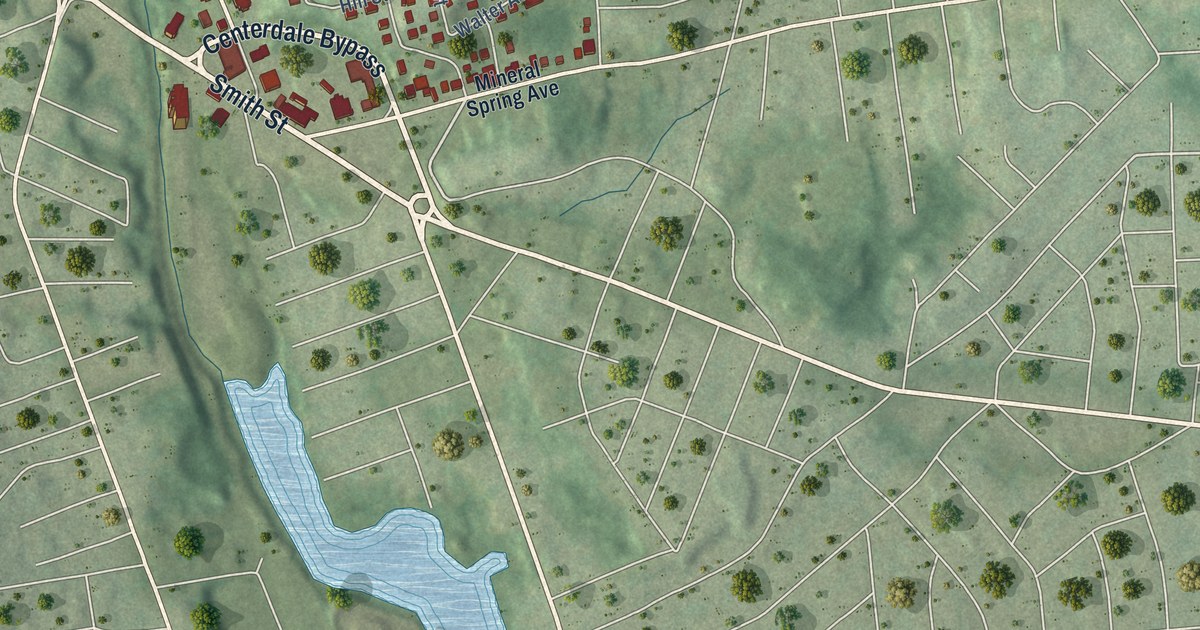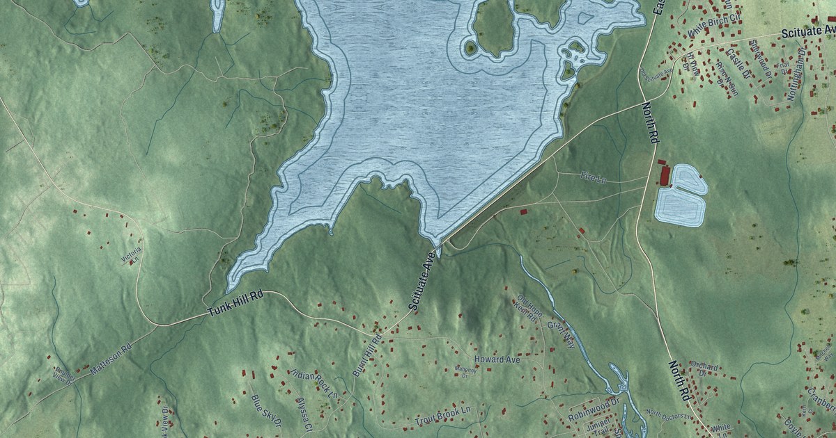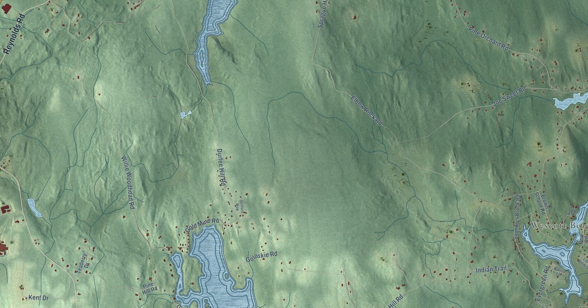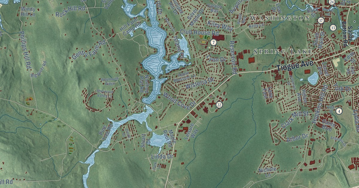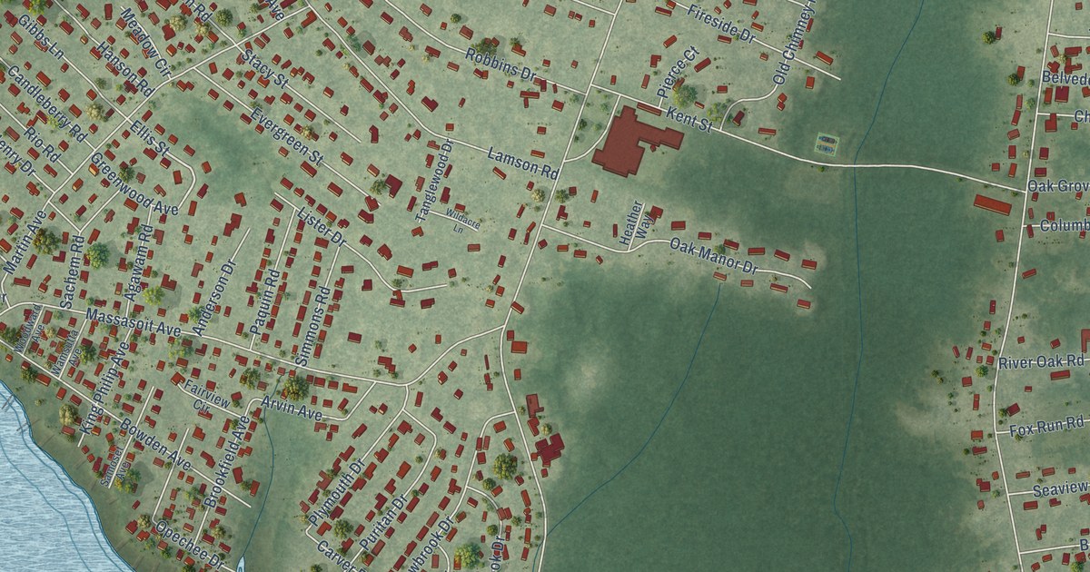
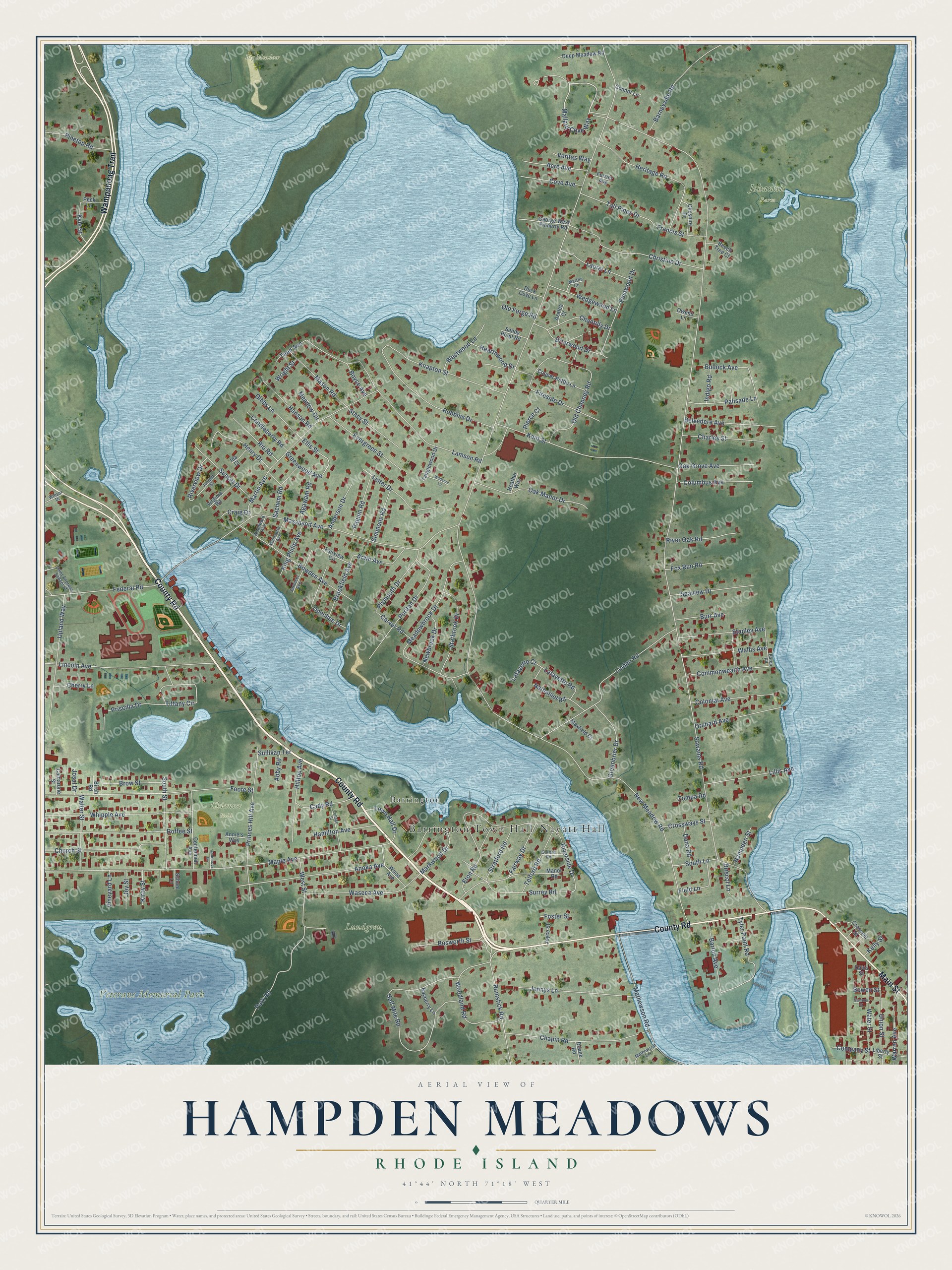
This beautifully detailed map of Hampden Meadows, Rhode Island was created in 2026 using aerial imagery combined with modern topographical, census, street and landmark data. It’s a one-of-a-kind view of Hampden Meadows that combines accurate data with a vintage aesthetic. The map shows every building in its true location, many of the roads carry their names, and the shaded topographic relief shows the shape of the land.
Explore an aerial view of Hampden Meadows, Rhode Island
On the map you’ll find Barrington Town Hall/Nayatt Hall, Johannis Farm, Veterans Memorial Park, Big Meadow, Chianese Field, Lundgren, and Barrington, along with County Road, Wampanoag Trail, Main Street, Mallard Cove Way, Ellis Street, and more. If you look closely you can even find your house accurately drawn in its correct location. Zoom in on the preview to look for yours.
Did You Know?
From Internet Archive: "Myles built his own house, near the east branch of the Sowams river, on New Meadow Neck, now Hampden Meadows."
Hampden Meadows is a community in Bristol County.
Take a closer look at the Hampden Meadows map
Names on this map
These names are printed on this map.
Places: Johannis Farm, Veterans Memorial Park, Big Meadow, Chianese Field, Lundgren and Barrington.
Streets and roads: County Road, Wampanoag Trail, Main Street, Mallard Cove Way, Ellis Street, New Meadow Road, Sowams Road, Maple Avenue, Massasoit Avenue, Half Mile Road, Foote Street, Riverside Drive.
More street names, A to Z
Abby Road, Acre Avenue, Agawam Road, Anderson Drive, Andreozzi Drive, Annie's Way, Anoka Avenue, Arvin Avenue, Azalea Court, Barneyville Road, Baron Road, Barton Avenue, Bayberry Lane, Beech Tree Court, Belvedere Avenue, Birch Road, Bosworth Street, Bowden Avenue, Bowen Street, Boyce Avenue, Briarwood Drive, Brookfield Avenue, Brow Street, Bullock Avenue, Burr Avenue, Cady Road, Caldarone Street, Candleberry Road, Carver Road, Centennial Avenue, Chantilly Drive, Chapin Road, Charles Street, Cherry Lane, Cheshire Drive, Christine Drive, Church Street, Colonial Avenue, Columbus Avenue, Commonwealth Avenue, Company Street, Connor Lane, Copper Kettle Lane, Cottage Street, Cove Avenue, Craig Drive, Crescent Street, Crossways Street, Dana Road, Davis Street, Deep Meadow Road, Doane Road, Driscol Lane, Duck Cove Lane, Eton Road, Evergreen Street, Fairview Circle, Fairway Drive, Federal Road, Ferrier Avenue, Field Lane, Fireside Drive, Foster Street, Fox Run Road, Francis Street, George West Finnerty Road, Gibbs Lane, Greenbrier Drive, Greenwood Avenue, Hamilton Avenue, Hampden Street, Hanson Road, Hearthwood Drive, Heather Way, Henry Drive, Heritage Road, Hilltop Avenue, Ida Court, Indigo Road, Jennys Lane, Josal Drive, Joyce Street, Joy Street, Juniper Street, Kelly Street, Kent Street, King Philip Avenue, Kirby Street, Knapton Street, Kyle Street, Lafayette Court, Lafayette Road, Lamson Road, Laurel Lane, Liberty Street, Lillis Avenue, Lincoln Avenue, Linden Road, Lister Drive, Manor Road, Markwood Drive, Martha Circle, Martin Avenue, Mason Road, Mathewson Lane, Mathewson Road, Maxfield Court, Meadowbrook Drive, Meadow Circle, Nathaniel Road, Newbrook Drive, Oak Grove Avenue, Oak Manor Drive, Old Chimney Road, Old Forge Road, Opechee Drive, Orchard Avenue, Owens Lane, Oxford Road, Palisade Lane, Paquin Road, Park Road, Peck Lane, Pierce Court, Pinetop Road, Plymouth Drive, Princes Hill Avenue, Priscilla Drive, Puritan Drive, Rio Road, River Oak Road, Riverview Drive, Robbins Drive, Roffee Street, Rumstick Road, Rustwood Drive, Sachem Road, Saint Andrews School Street, Samoset Avenue, Sandy Point Road, School Lane, Seaview Drive, Simmons Road, South Lane, South Street, Stacy Street, Stanley Avenue, Starbrook Drive, Stratford Road, Sullivan Terrace, Summer Street, Sunset Drive, Surrey Road, Tall Pines Drive, Tanglewood Drive, Teed Avenue, Telford Road, Tiffany Circle, Town Hall Drive, Tyler Point Road, Union Street, Upland Way, Veritas Way, Vineyard Lane, Virginia Road, Wallis Avenue, Walter Street, Wamsutta Avenue, Warren Avenue, Waseca Avenue, Water Street, Wedgewood Lane, West Street, Westwood Lane, Whipple Avenue, Wildacre Lane, Winsor Drive, Wood Avenue, Woodland Road, Woodward Avenue, Wright Street, Zompa Road.
See it on a wall
The Hampden Meadows map as a framed print. Swipe for more.


This beautifully detailed map of Hampden Meadows makes an attractive addition to your office, library, or den, and it can even be used to teach children the geography and history of the area. It also makes a great gift for someone who left Hampden Meadows and still calls it home. When you’re done exploring, click here to get your copy of the Hampden Meadows map.