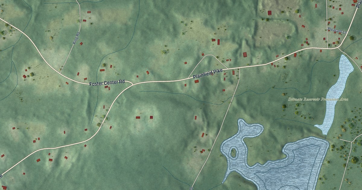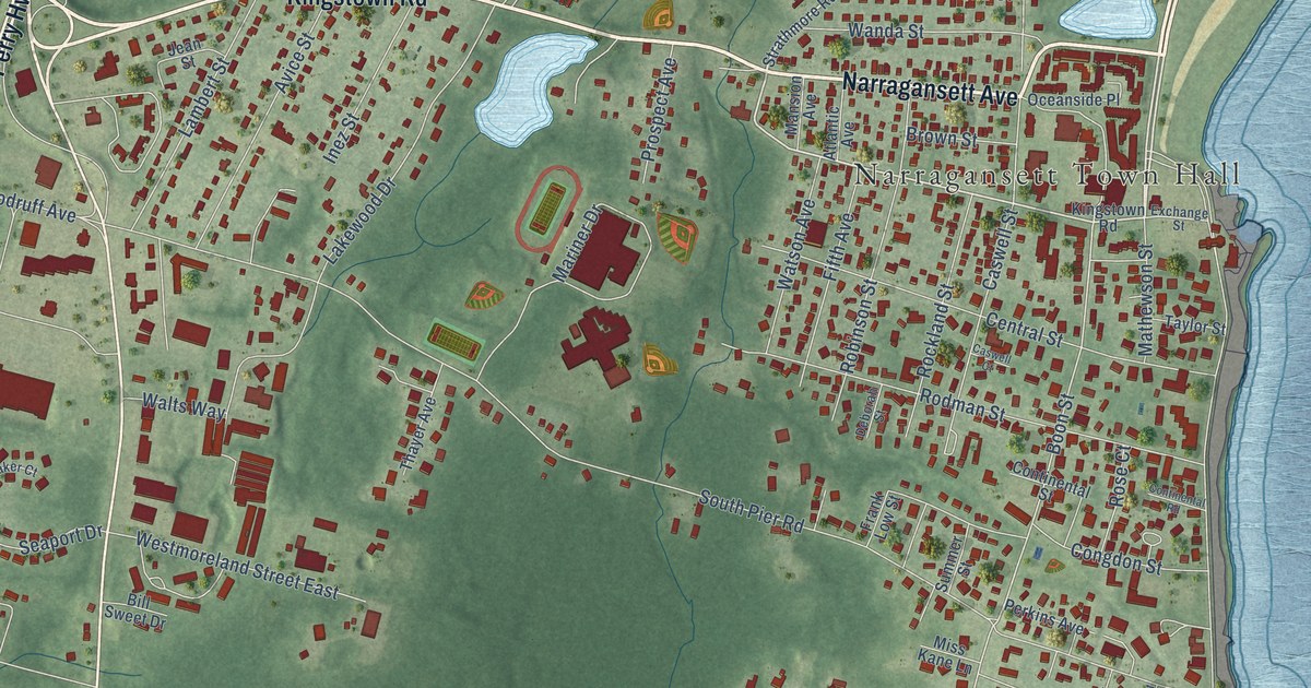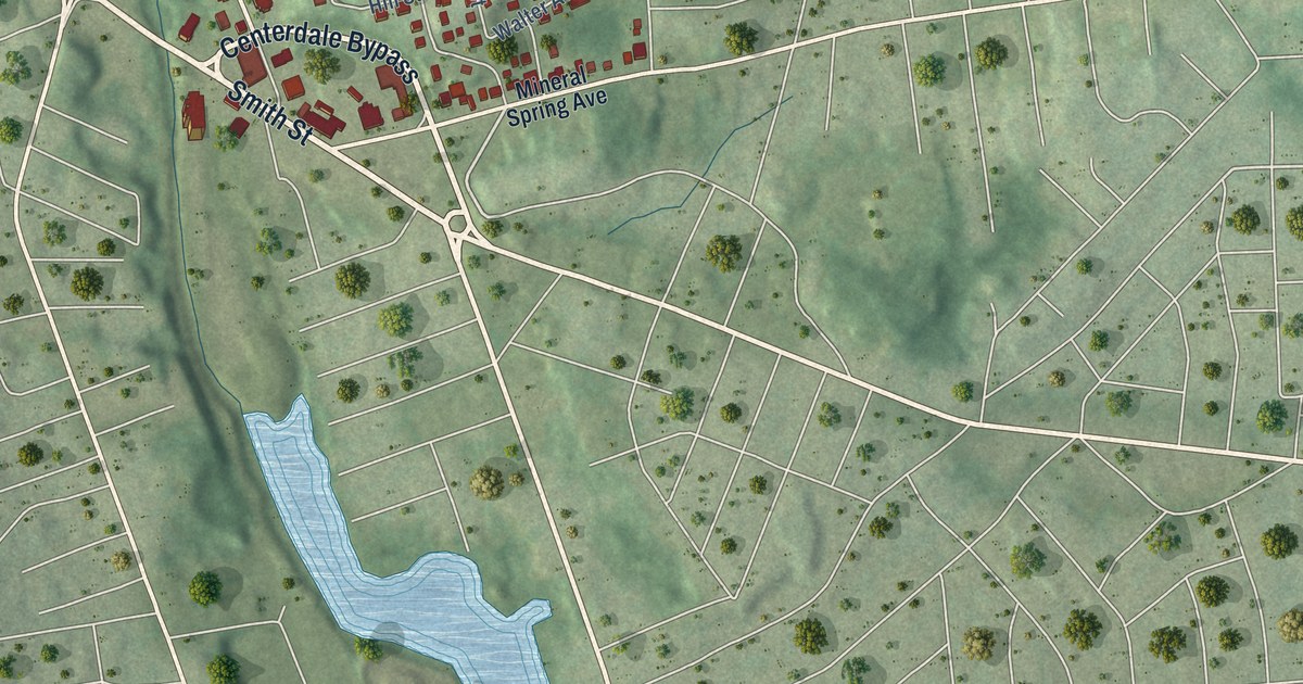
This beautifully detailed map of Greystone, Rhode Island was created in 2026 using aerial imagery combined with modern topographical, census, street and landmark data. It’s a one-of-a-kind view of Greystone that combines accurate data with a vintage aesthetic. The map shows every building in its true location, many of the roads carry their names, and the shaded topographic relief shows the shape of the land.
Explore an aerial view of Greystone, Rhode Island
On the map you’ll find Lymansville and Peter Randall State Park, along with Centerdale Bypass, Woonasquatucket Avenue, Waterman Avenue, Smith Street, Barbara Ann Drive, North Elmore Avenue, Sixth Avenue, Clark Street, Bicentennial Way, Jacksonia Drive, and more. If you look closely you can even find your house accurately drawn in its correct location. Zoom in on the preview to look for yours.
Did You Know?
From Internet Archive: "THE COTTON MILL. 61 He continued to operate the mill until 1823, when he sold one-half of his interest to Richard Anthony, who was already operating a mill at Greystone."
Greystone is a community in Providence County.
Take a closer look at the Greystone map
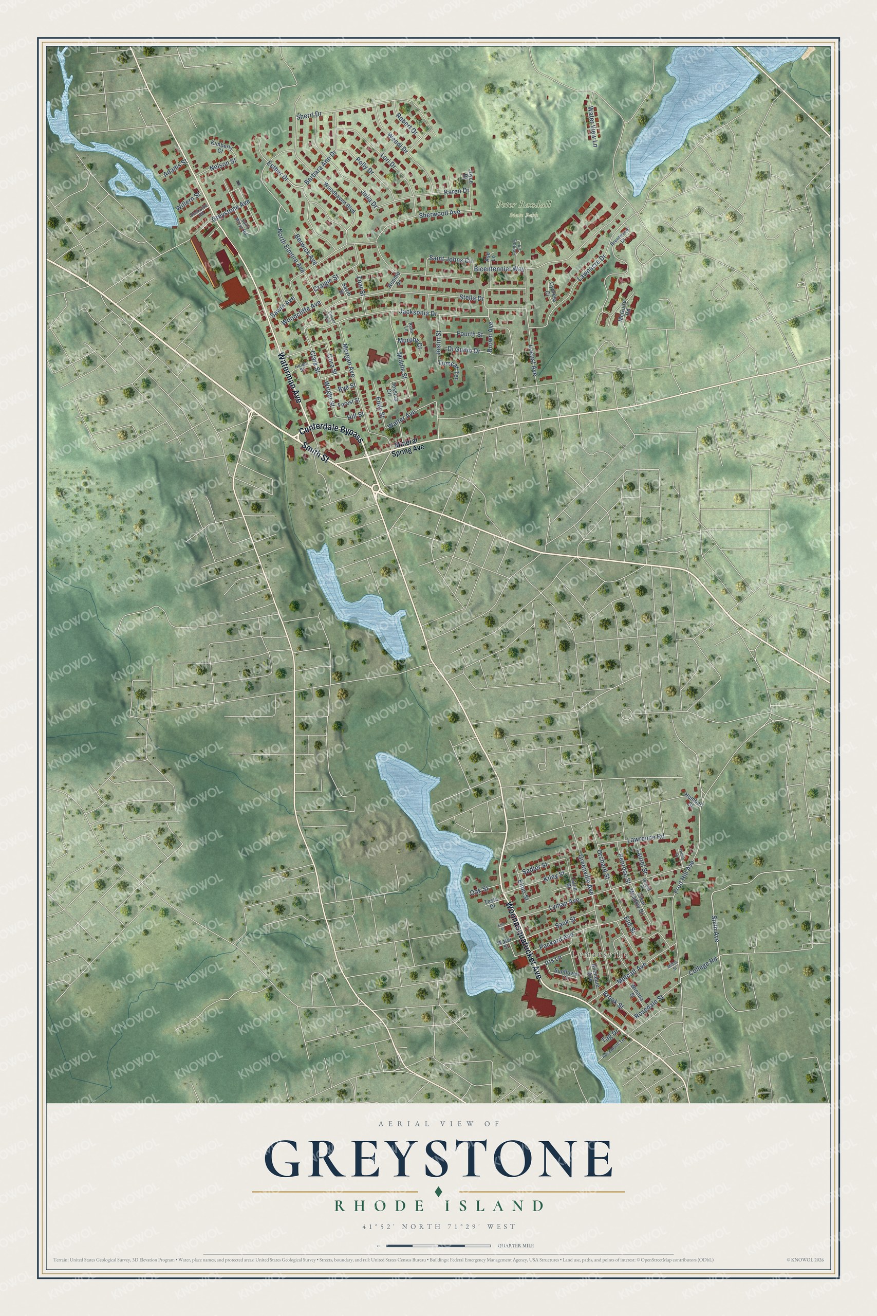
Names on this map
These names are printed on this map.
Places: Lymansville and Peter Randall State Park.
Streets and roads: Centerdale Bypass, Woonasquatucket Avenue, Waterman Avenue, Smith Street, Barbara Ann Drive, North Elmore Avenue, Sixth Avenue, Clark Street, Bicentennial Way, Jacksonia Drive, Fruit Hill Avenue, Stella Drive.
More street names, A to Z
Adams Street, Allendale Avenue, Ash Lane, Beckside Road, Berwick Avenue, Brentwood Drive, Brook Street, Brown Avenue, Bye Street, Century Circle, Clear Meadow Drive, College Road, Cora Street, Craigie Street, Cypress Court, Di Guilio Drive, Eddy Street, Elmore Avenue, Elmo Street, Elm Street, Eric Place, Esther Drive, Forest Street, Fourth Street, Glen Street, Greenville Avenue, Greystone Avenue, Helen Street, Hill Street, Humbert Street, Infield Court, Iris Lane, Jessica Circle, Joslin Street, Joyce Drive, Julia Drive, Karen Drive, Kiley Street, Kimberly Court, Laurel Street, Lawnacre Drive, Lawrence Road, Locust Avenue, Lori Drive, Lyman Avenue, McGuire Road, Metcalf Avenue, Middle Street, Milton Street, Mineral Spring Avenue, Morgan Avenue, Murphy Court, Nelson Street, Oak Street, Orchard Street, Packard Avenue, Penrose Street, Polly Drive, Robert Drive, Ronnie Drive, Rosedale Street, Rosemont Terrace, Ryan Lane, Sack Street, Sadler Street, Saint Johns Circle, Saint Marys Road, Savin Street, Sawin Avenue, Sherri Drive, Sherwood Avenue, Sunflower Circle, Tag Drive, Terino Drive, Testa Drive, Tomcat Terrace, Walter Avenue, Water Street, Water View Lane, Wendi Drive, Willern Street, Winona Street, Woodcliffe Avenue, Woodhaven Boulevard, Wright Street, Zoar Street.
See it on a wall
The Greystone map as a framed print. Swipe for more.


This beautifully detailed map of Greystone makes an attractive addition to your office, library, or den, and it can even be used to teach children the geography and history of the area. It also makes a great gift for anyone with Greystone roots. When you’re done exploring, click here to get your copy of the Greystone map.