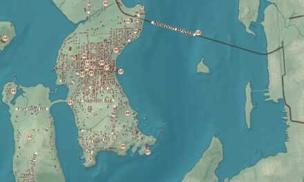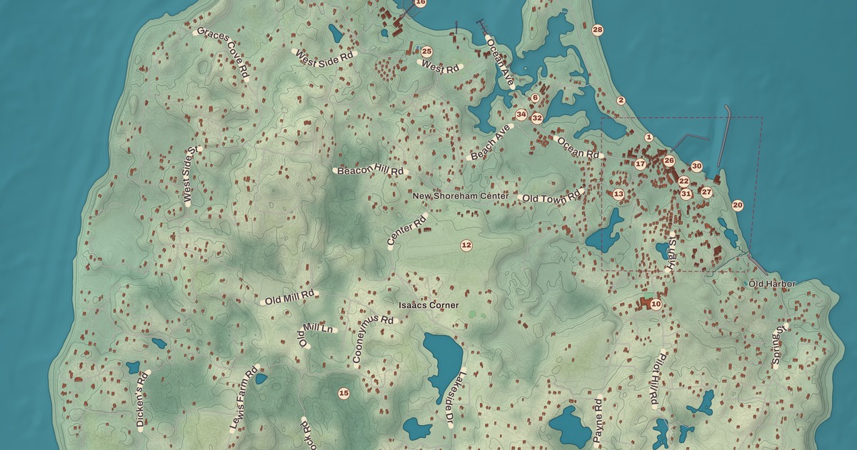
Most people call it Block Island, but on paper the town is New Shoreham, and the whole island is one town. This map of New Shoreham prints Old Harbor and the Old Harbor Historic District, the Block Island Historical Society Museum, the Hygeia House and the Peleg Champlin House, with Corn Neck Road running north past Surf Beach, Scotch Beach and Baby Beach, from Old Harbor to New Shoreham Center.
New Shoreham is in Washington County, on Block Island about 9 miles off the Rhode Island shore.
KNOWOL made this map in 2026 from public survey records and gave it the look of an old atlas. The shaded relief around Surf Beach and Baby Beach comes from United States Geological Survey elevation data. The streets come from Census Bureau files, down to Corn Neck Road. The Hygeia House and the Peleg Champlin House are on the National Register of Historic Places, and we checked them against National Park Service records. New Shoreham had 1,410 people at the 2020 census, the fewest of any town in the state, on 9.734 square miles of land, and its summer population can triple.
Manisses
The island was shaped by the same retreating glaciers that left Cape Cod, Martha’s Vineyard and Nantucket. The Niantic people called it Manisses, meaning “Manitou’s Little Island,” and lived by hunting deer, fishing, gathering shellfish and growing corn, beans and squash. Giovanni da Verrazzano sighted it in 1524, and the Dutch explorer Adriaen Block charted it in 1614 and named it for himself, the name that stuck. The town’s name comes from Shoreham in West Sussex, England.
In 1661 a party of settlers led by John Allcock bought the island, and they’re remembered at Settler’s Rock near Cow Cove, where they pushed the island’s first cows off their boats and drove them ashore; a plaque on the rock lists their names. One of them, Sarah Sands, is known as New England’s first woman doctor. The Rhode Island General Assembly incorporated the island in 1672, and its government took the name New Shoreham. Isaac Church, recorded as the island’s last full-blooded Manisses, died in 1886 at 100, and his descendants still live in Rhode Island. Isaac’s Corner, where Center Road meets Lakeside Drive and Cooneymus Road, is named for him. In 2011 the Block Island Historical Society dedicated the Block Island Manissean Ancestral Stone, and one of his direct descendants opened the ceremony in the people’s own language. During World War II the government offered to evacuate the island, and the islanders chose to stay.
Old Harbor
Block Island has no natural harbor. Breakwaters built in 1870 formed Old Harbor, and New Harbor followed in 1895, when a channel was dug from the Great Salt Pond to the sea. Old Harbor became a resort, and the Old Harbor Historic District, between the ocean and Main Street with Spring, High and Water Streets, takes in 42 buildings, many of them hotels and cottages from the 1870s and 1880s: the Surf Hotel, the Union Hotel, Hotel Manisses, the Pequot House, the New National Hotel and the Odd Fellows Hall among them. It joined the National Register in 1974. Harbor Church, founded in 1765, is at 21 Water Street.
The Block Island Historical Society Museum, founded in 1942, is in the Woonsocket House at Old Town Road and Ocean Avenue, a large house the society bought in 1945. Two floors of exhibits hold boat models, fishing gear, quilts, furniture, tools, Native American artifacts and oral history tapes, and it’s open every day in summer. On Beach Avenue, the Hygeia House was built in 1885 as the Seaside House and moved in 1907 to the grounds of the much larger Hygeia Hotel. Dr. John Champlin kept his medical office in it and rented rooms to summer visitors, and it joined the National Register in 2001.
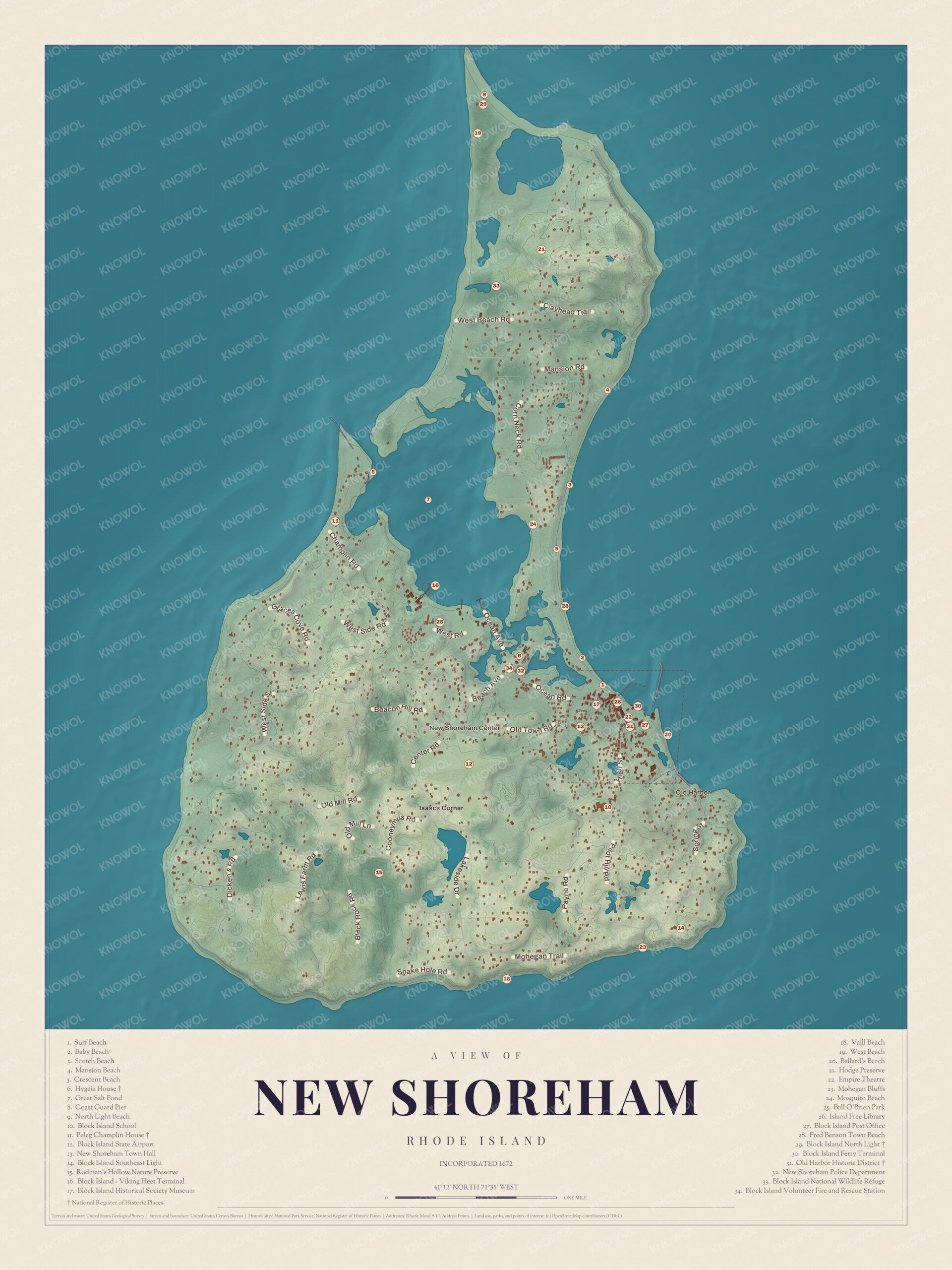
Click to explore a larger preview. The digital watermark does not appear on printed maps.
Names on this map
These names are printed on this map.
Places: Great Salt Pond, Isaacs Corner, Block Island National Wildlife Refuge, New Shoreham Center and Crescent Beach.
Streets and roads: W Beach Rd, Mansion Rd, Hill Rd, Mill Ln, Rocky Rd, Kane Rd, Mohegan Trl and Black Rock Rd.
Corn Neck Road and the north end
Crescent Beach takes in five smaller beaches, Fred Benson Town Beach, Surf Beach, Scotch Beach, Rouse’s Beach and Mansion Beach, and all of them are on Corn Neck Road. North of them are the Clayhead cliffs, and at the far end are Cow Cove, Settler’s Rock and Sandy Point, where Block Island North Light stands. Built of granite and iron in 1867, it’s the fourth lighthouse on the site. The town bought it, with two acres, for $1 in 1984, relit it in 1989 and opened a museum inside in 1993. The dunes around it belong to the Block Island National Wildlife Refuge, home to the piping plover.
The west and the south
Out on Rodman Pond Lane, in the island’s west, the Peleg Champlin House was built around 1820 by Peleg Champlin, a farmer from one of the island’s older families. It’s a Federal style house with a big central chimney, its page calls it one of the best-preserved houses of its period on the island, and it joined the National Register in 1982. Down on the south shore, Rodman’s Hollow is a 230-acre glacial basin with walking trails, and the Mohegan Bluffs, clay cliffs about 150 feet high, have a long staircase down to the beach. Block Island Southeast Light stands on the bluffs. First lit on February 1, 1875, it’s a Gothic Revival brick tower 67 feet tall, a National Historic Landmark since 1997, and in 1993 the whole building was moved back from the eroding edge.
About 40 percent of the island is set aside for conservation, and the Nature Conservancy counts Block Island among its “Last Great Places,” 12 sites in the Western Hemisphere. Every summer brings the Fourth of July parade, Block Island Race Week and the film festival. This map of New Shoreham is a good choice for an office, library or den, and it can help teach children the geography and history of an island town. KNOWOL made it in 2026 for people who call New Shoreham home, from Old Harbor to Sandy Point, and it shows the island as it looks today. Zoom in on the preview above to explore the details, then click here to get your copy of the New Shoreham map.

Sources
- Block Island (New Shoreham, Rhode Island), Wikipedia
- Old Harbor Historic District, Wikipedia
- Block Island Historical Society, Wikipedia
- Hygeia House (Rhode Island), Wikipedia
- Block Island North Light, Wikipedia
- Peleg Champlin House, Wikipedia
- Mohegan Bluffs, Wikipedia
- Block Island Southeast Light, Wikipedia