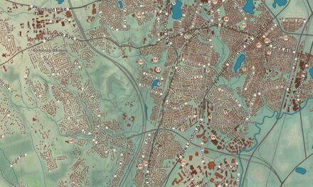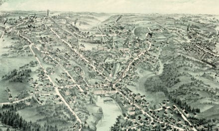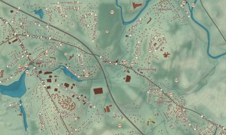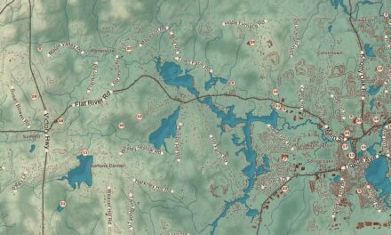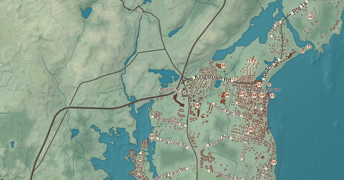
The stone Towers on Ocean Road are all that’s left of Narragansett’s old casino, and they’re among the best known sights in town. This map of Narragansett prints Ocean Road from Narragansett Pier down to Galilee and the Point Judith Lighthouse, with the Ocean Road Historic District, the Earlscourt Historic District, the South County Museum, Dunes Club Beach and Conochet Club Beach along the way.
Narragansett is in Washington County, on the west shore of Narragansett Bay between the Pettaquamscutt River and the sea.
KNOWOL made this map in 2026 from public survey records and gave it the look of an old atlas. The shaded relief around Dunes Club Beach and Conochet Club Beach comes from United States Geological Survey elevation data. The streets come from Census Bureau files, down to Ocean Road, and the Census Bureau puts the town at 37.8 square miles, only 14.1 of them land; the rest is water. The Point Judith Lighthouse and the Ocean Road Historic District are on the National Register of Historic Places, and we checked them against National Park Service records. Narragansett had 14,532 people at the 2020 census, and in summer its population more than doubles to near 34,000.
The Pier
The town takes its name from the Narragansett nation. It was part of South Kingstown until it was set off in 1888, and it became a town in 1901. By then Narragansett Pier was a fashionable summer resort, and its center was the Narragansett Pier Casino, built between 1883 and 1886 to designs by McKim, Mead and White. It wasn’t a gambling hall but a place for the summer crowd to gather for boating, tennis, billiards, bowling, dinners and dances, and its page says it rivaled the Newport Casino with the social elite. The Great Fire of September 12, 1900, took the casino, and only the granite walls of the Towers were left standing. They stand at 35 Ocean Road, on the National Register since 1969, and still hold weddings, dances and plays beside the town beach. The Towers’ page says the first reports of clams casino came from the Casino there.
Across the road at 40 Ocean Road is the Coast Guard House, built in 1888 by McKim, Mead and White as the Narragansett Pier Life Saving Station. It served as a lifesaving station until 1946 and became a restaurant in the 1960s. Inland, the Earlscourt Historic District holds nine Shingle Style cottages from the 1880s and 1890s, the resort’s peak, among them the four Sherry Cottages on Gibson Avenue by McKim, Mead and White and the Earles Court houses built for Edward Earle, a New York lawyer, around a stone water tower that sits in the middle of the road. The district joined the National Register in 1982.
Ocean Road
South of the Towers, the Ocean Road Historic District follows the shore from Hazard Street to Wildfield Farm Road. Most of its 45 summer houses went up between about 1880 and 1900, many in the Shingle style, by architects including McKim, Mead and White and William Gibbons Preston. The odd one out is Hazard’s Castle, a rambling stone pile that Joseph Peace Hazard, the big landowner here before the resort grew up, began building in the 1840s. The district joined the National Register in 1982.
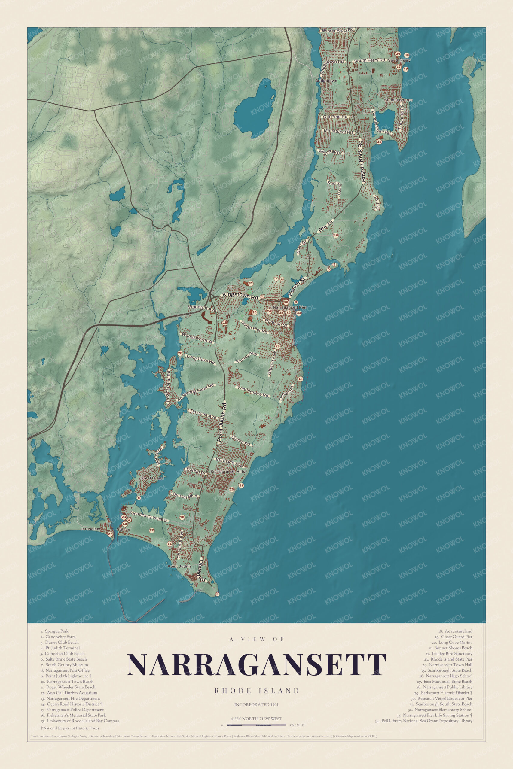
Click to explore a larger preview. The digital watermark does not appear on printed maps.
Names on this map
These names are printed on this map.
Places: Narragansett Pier, Galilee, Bonnet Shores, Jerusalem, Bridgetown, Boston Neck and Point Judith.
Streets and roads: Eton Rd, Old Pine Rd, Wandsworth St, Island Rd, Kingstown Rd, Rhode Island St and Narragansett Trl.
Point Judith and Galilee
At the end of the road, the Point Judith Lighthouse watches the west side of the entrance to Narragansett Bay, where the waters are cold and busy. The first tower here went up in 1810, the second in 1816, and the present eight-sided granite tower in 1856. Its upper half is painted brown and its lower half white so sailors can pick it out by day, and in 1871 captains asked for its fog signal to be changed from a horn to a whistle, to tell it apart from Beavertail. The light was automated in 1954 and joined the National Register in 1988.
Galilee, on Point Judith, is home to the largest fishing fleet in Rhode Island and to the Block Island Ferry, which crosses the 13 miles to the island in under an hour. The port handles more than 16 million pounds of seafood and shellfish a year. Its page tells how the name came about: in 1902, the story goes, Thomas Mann, a fisherman from Nova Scotia, thought the village of fishing shacks should be called Galilee after the fishing village in the Bible, and an old-timer mending nets, asked what the place across the channel was, decided it “must be Jerusalem.” Both names stuck. The state dredged the breachway and built stone jetties in the early 20th century, and Fishermen’s Memorial State Park nearby has a campground and the old Fort Greene.
Beaches and the museum
Narragansett is known for its summer beaches and as a surfing spot, thanks to frequent southerly swells off the Atlantic. Narragansett Town Beach is in the center of town, and Scarborough State Beach, Roger Wheeler State Beach and Salty Brine State Beach line the shore toward Galilee; the last two sit behind the breakwater that protects the port. The Dunes Club, a private beach club on 28 acres at 137 Boston Neck Road along the Pettaquamscutt River, joined the National Register in 2015. The South County Museum, founded in 1933 in North Kingstown, has been on Canonchet Farm since 1984, land once owned by Governor William Sprague, and it keeps artifacts from the 17th century to modern times. The Narragansett Bay Campus of the University of Rhode Island is in town too.
This map of Narragansett is a good choice for an office, library or den, and it can help teach children the geography and history of a summer resort on the bay. KNOWOL made it in 2026 for people who call Narragansett home, from the Pier to Galilee, and it shows the town as it looks today. Zoom in on the preview above to explore the details, then click here to get your copy of the Narragansett map.

Sources
- Narragansett, Rhode Island, Wikipedia
- The Towers (Narragansett, Rhode Island), Wikipedia
- Narragansett Pier Life Saving Station, Wikipedia
- Earlscourt Historic District, Wikipedia
- Ocean Road Historic District, Wikipedia
- Point Judith Light, Wikipedia
- Galilee, Rhode Island, Wikipedia
- The Dunes Club, Wikipedia
- South County Museum, Wikipedia