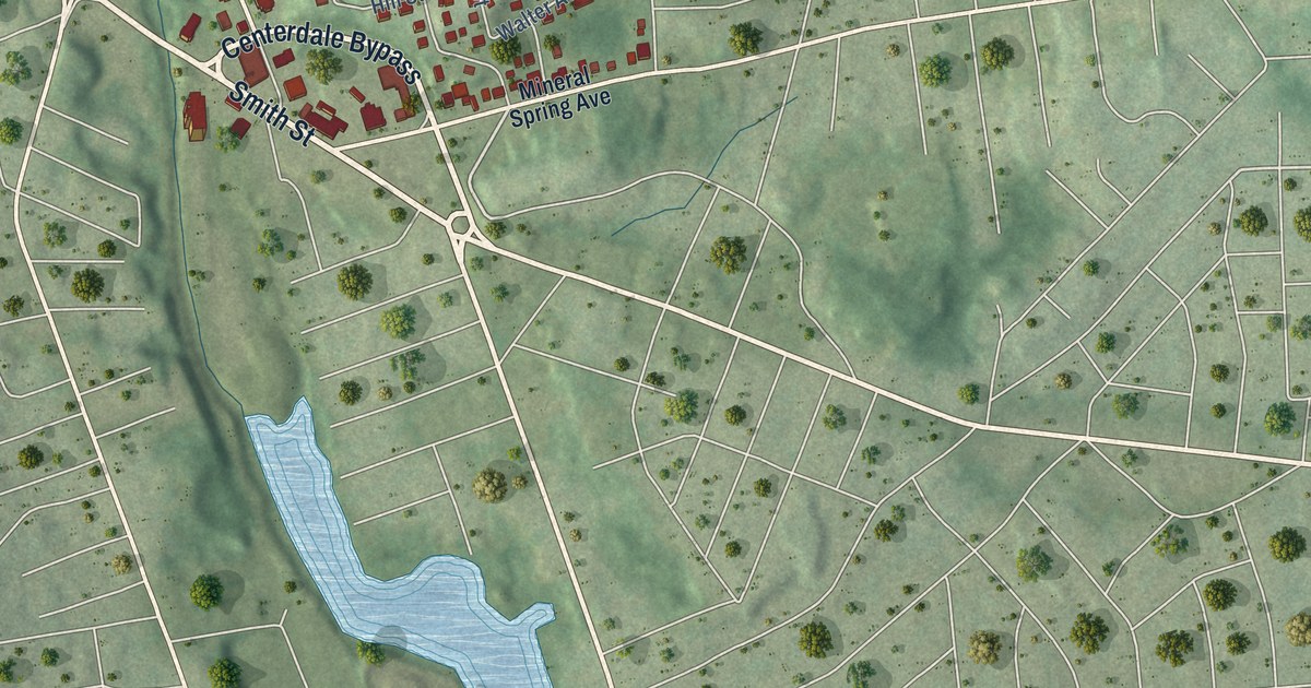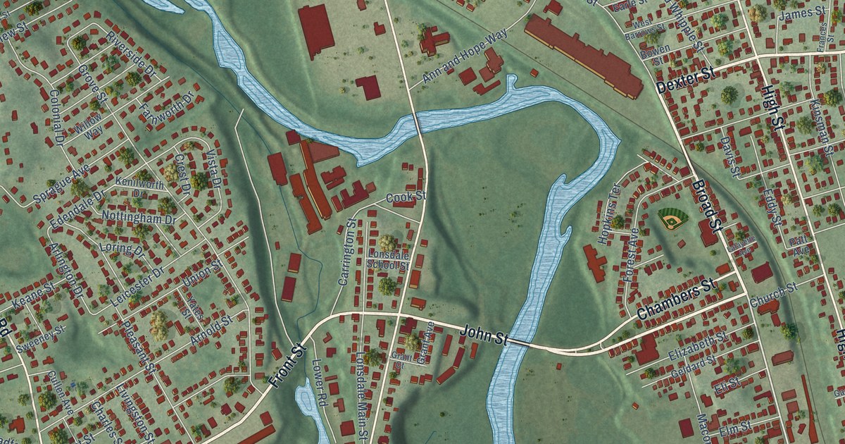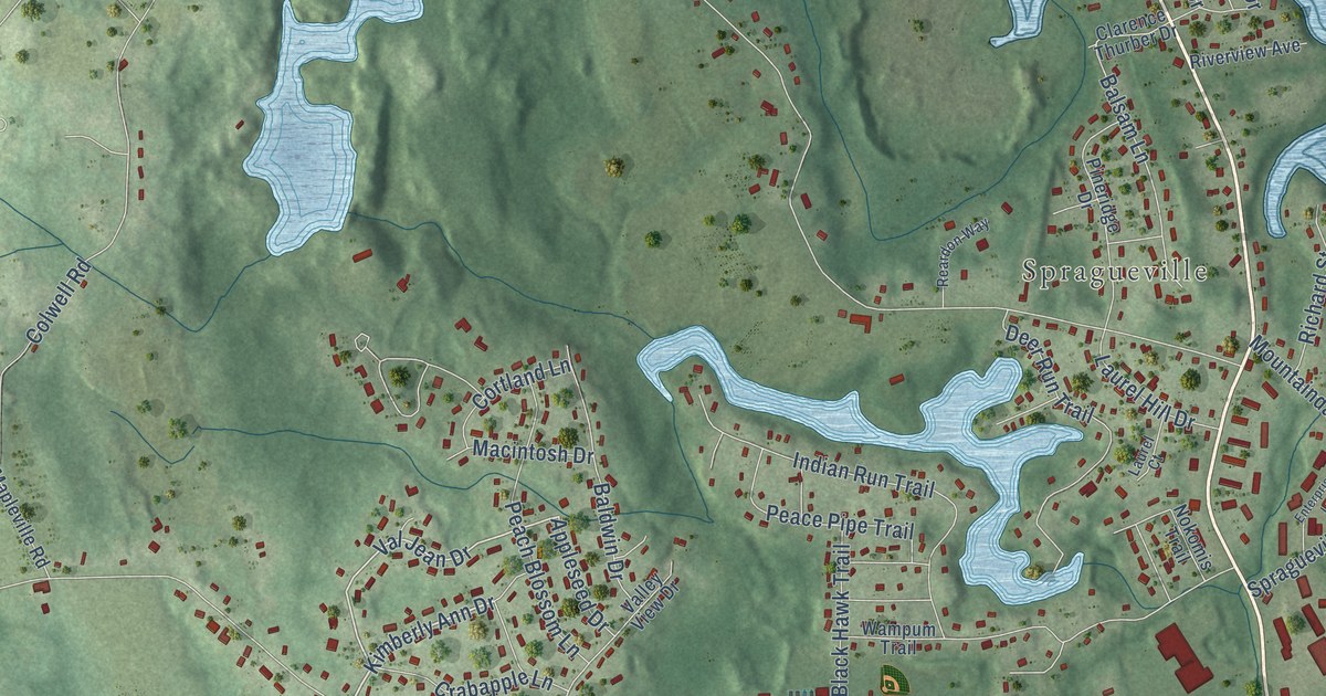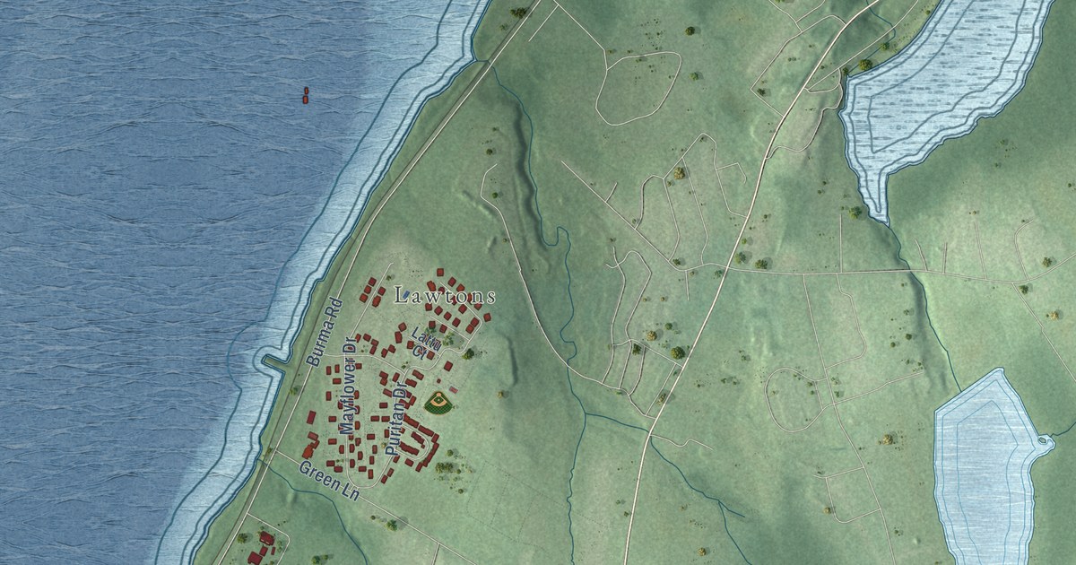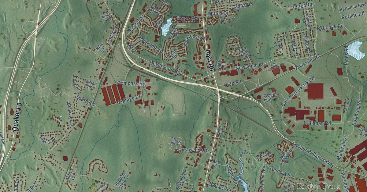
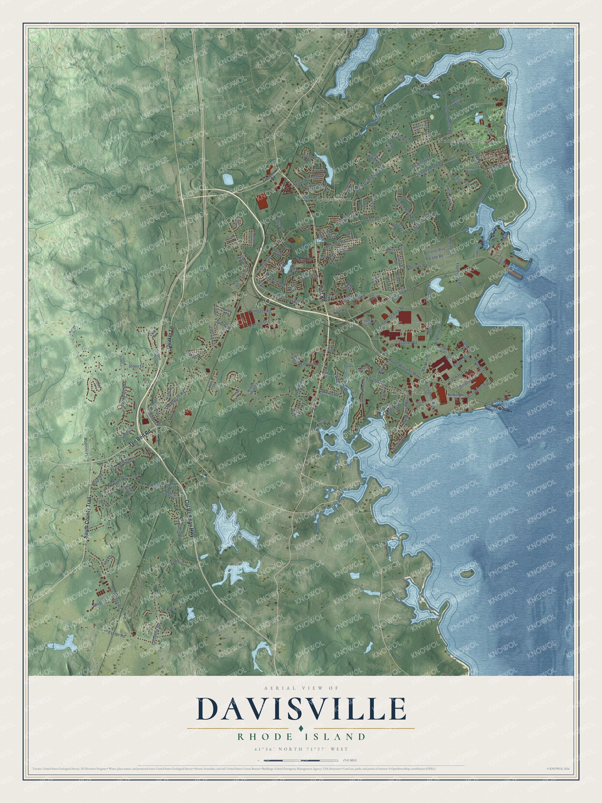
This beautifully detailed map of Davisville, Rhode Island was created in 2026 using aerial imagery combined with modern topographical, census, street and landmark data. It’s a one-of-a-kind view of Davisville that combines accurate data with a vintage aesthetic. The map shows every building in its true location, many of the roads carry their names, and the shaded topographic relief shows the shape of the land.
Explore an aerial view of Davisville, Rhode Island
On the map you’ll find Kiefer Park, Mount View, Quidnessett, Shore Acres, and North Quidnessett, along with Quaker Lane, South County Trail, Post Road, Col Rodman Highway, Ten Rod Road, Davisville Road, Devils Foot Road, and more. If you look closely you can even find your house accurately drawn in its correct location. Zoom in on the preview to look for yours.
Did You Know?
From Internet Archive: "Joshua Davis, father of Jeffery Davis, was probably the original settler of Davisville, and was the builder of its first mill, which was erected about the year 1 700."
Davisville is a community in Washington County.
Take a closer look at the Davisville map
Names on this map
These names are printed on this map.
Places: Kiefer Park, Mount View, Quidnessett, Shore Acres and North Quidnessett.
Streets and roads: Quaker Lane, South County Trail, Post Road, Col Rodman Highway, Ten Rod Road, Davisville Road, Devils Foot Road, Newcomb Road, Potter Road, North Quidnessett Road, Harrison Street, Belver Avenue.
More street names, A to Z
Abby Lane, Airport Street, Allegra Lane, Allison Court, Arrow Lane, Asqah Drive, Audubon Road, Austin Road, Babcock Road, Battalion Boulevard, Beacon Drive, Brookside Drive, Burlingham Avenue, Burnt Cedar Drive, Callahan Road, Camp Avenue, Cara Court, Catherine Drive, Chadsey Road, Charles Street, Chaucer Drive, Chimney Rock Road, Circuit Drive, Clearview Drive, Club Circle, Cole Drive, Collins Court, Commerce Park Road, Compass Road, Conway Avenue, Crest Field Lane, Cripe Avenue, Cripe Street, Dahlia Drive, Dana Road, Delano Drive, Dillabur Avenue, Dry Bridge Road, Dyer Avenue, Eccleston Avenue, Edmond Drive, Eileen Drive, Ellis Road, Elmwood Drive, Essex Road, Ewing Road, Exeter Road, Fairfield Drive, Fawns Run, Fishing Cove Road, Fletcher Road, Flightline Drive, Foliage Drive, Forge Road, Frenchtown Road, Gate Road, Glenwood Drive, Grant Drive, Grove Avenue, Hancock Drive, Hatchery Road, Hatchery Road Bypass, Heritage Road, Hidden Mere Lane, Hideaway Lane, High Street, Hoover Street, Hornet Road, Huling Road, Ipswich Boulevard, Jerry Lane, John Scott Lane, Jones Road, Keats Drive, Keel Street, Kingswood Road, Krzak Road, Lafayette Road, Lake Drive, Lang Drive, Laurel Ridge Lane, Lindsay Lane, Little Bit Lane, Long Lane, Love Lane, Lynn Drive, Mainsail Drive, Malcolm Road, Mancini Place, Marine Road, Mark Drive, McNaught Street, Meghan Lane, Mesa Drive, Middle Street, Mill Creek Drive, Mitola Drive, Narrow Lane, New Connector Road, New Lane, Northbriar Drive, Northrup Road, Oakdale Road, Ocean State Drive, Old Baptist Road, Olde Mill Lane, Overlook Drive, Parade Road, Pat Circle, Paula Drive, Peaceful Lane, Pequot Street, Pettee Avenue, Pine River Drive, Plain Road, Pojac Point Road, Quail Drive, Regent Drive, Richard Smith Drive, Roger Williams Way, Rollingwood Drive, Rosemary Drive, Sachem Road, Sage Trail, Sanford Road, Sauga Avenue, Schoolhouse Road, School Street, Scrabbletown Road, Seabreeze Drive, Seawynds Drive, Sedgefield Road, Shore Acres Avenue, Signal Rock Road, Smoke Ridge Drive, South Road, Spinney Lane, Spring Road, State Street, Stone Hill Court, Stony Lane, Suffolk Drive, Sunnybrook Drive, Surrey Lane, Thompson Road, Torrie Lane, Twelfth Street, Vista Circle, Walnut Road, Welling Way, Westcott Road, Wickford Point Road, Wickham Road, Wilbert Way, Yorktown Road, Zarbo Avenue.
See it on a wall
The Davisville map as a framed print. Swipe for more.


This beautifully detailed map of Davisville makes an attractive addition to your office, library, or den, and it can even be used to teach children the geography and history of the area. It also makes a great gift for someone who left Davisville and still calls it home. When you’re done exploring, click here to get your copy of the Davisville map.