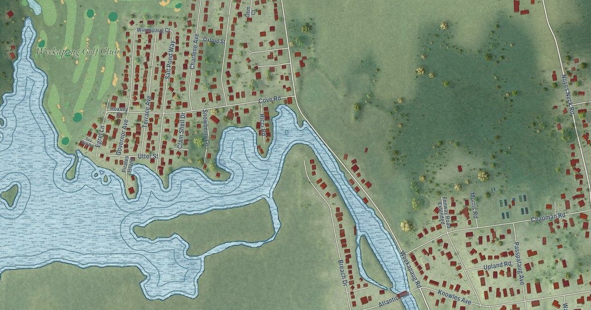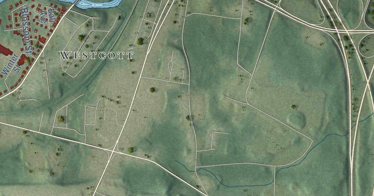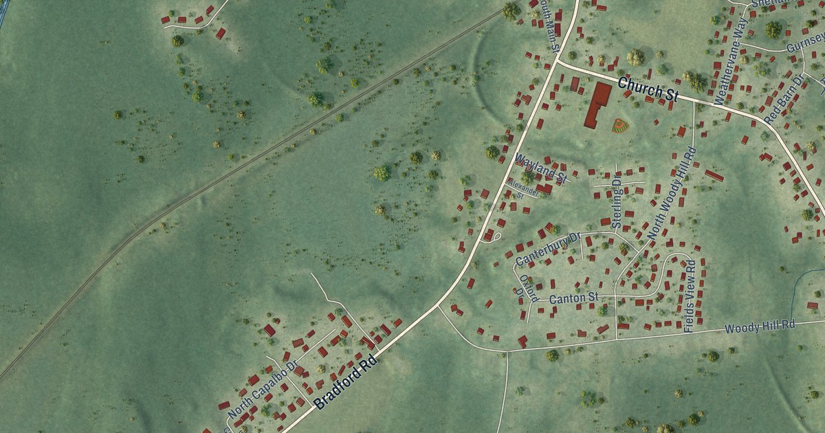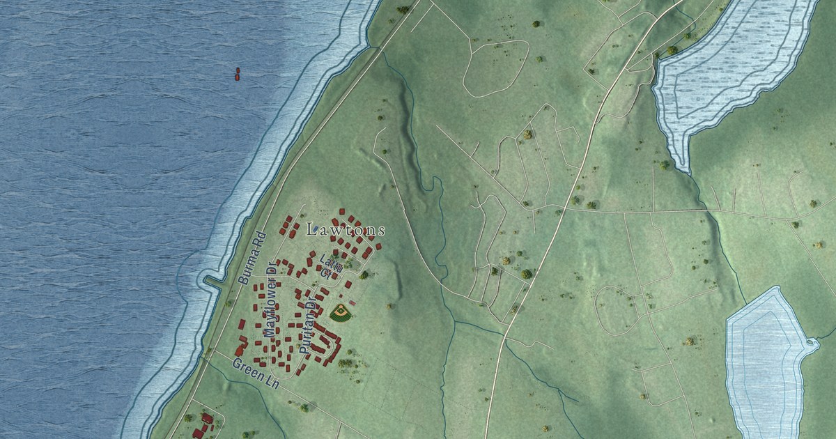
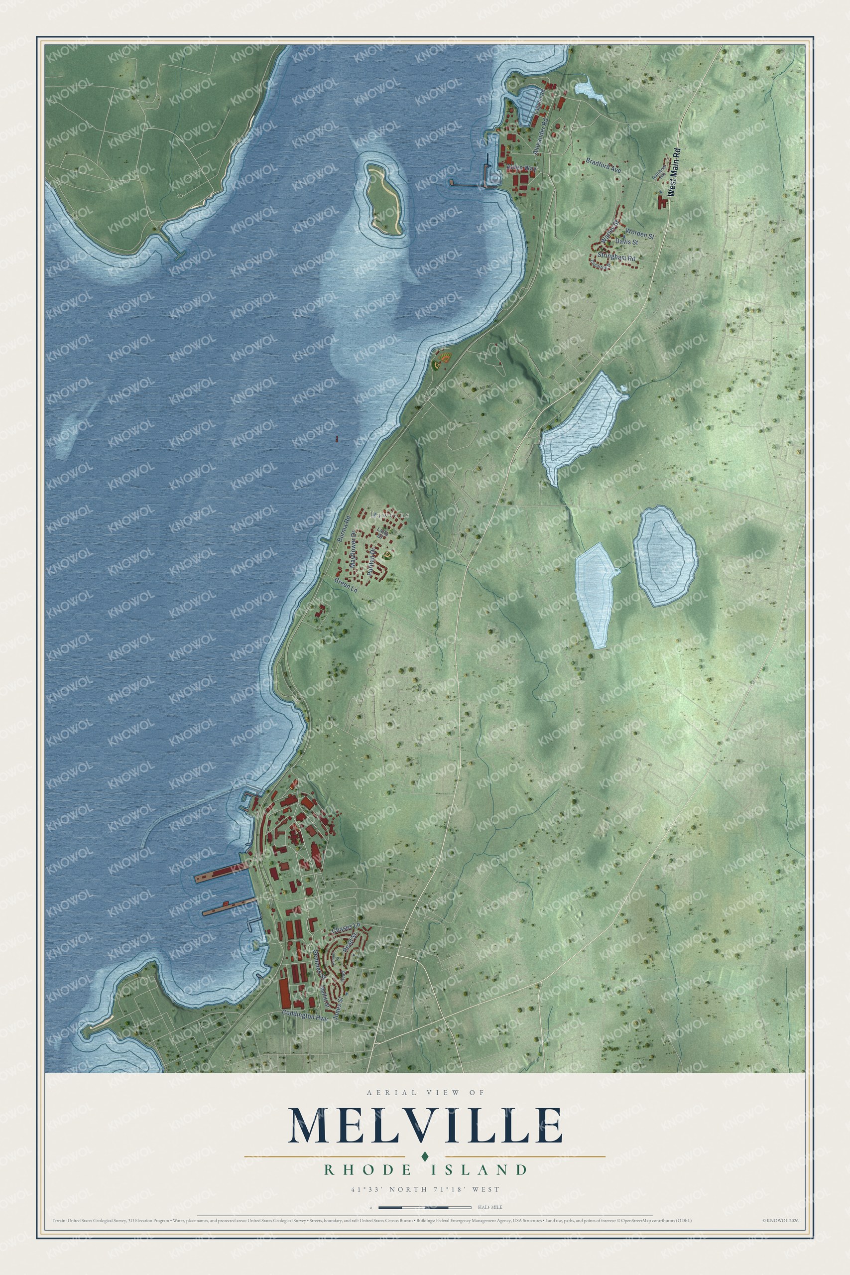
This beautifully detailed map of Melville, Rhode Island was created in 2026 using aerial imagery combined with modern topographical, census, street and landmark data. It's a modern aerial view of Melville in Newport County, Rhode Island, that combines modern data with a vintage aesthetic. The roads feature printed names, and if you look closely you can find your exact house accurately shown in its correct location.
Explore an aerial view of Melville, Rhode Island
On this map you'll find Lawtons, West Main Road, Alexander Road, Burma Road, Bradford Avenue, Stringham Road, Jones Street, Puritan Drive, Mayflower Drive, Warley Street, Coddington Highway, Chases Lane, and more. Each red shape is a building, so zoom in on the preview and look for yours.
Here is a piece of Melville history. During the Second World War, nearly all of the Navy's 14,000 PT boat officers and men trained at the Motor Torpedo Boat Squadrons Training Center in Melville, on Narragansett Bay. Builders made its boat basin out of a swamp, and one of the men who served there was John F. Kennedy. Its graduates also included a Supreme Court justice, three movie stars, five ambassadors and four NFL coaches. That's from the New England Historical Society.
Melville is a community in Newport County. The Census Bureau counted 1,609 people here in 2020.
Take a closer look at the Melville map
Names on this map
These names are printed on this map.
Places: Lawtons.
Streets and roads: West Main Road, Alexander Road, Burma Road, Bradford Avenue, Stringham Road, Jones Street, Puritan Drive, Mayflower Drive, Warley Street, Coddington Highway, Chases Lane, Davis Street.
More street names, A to Z
Alden Way, Cimarron Drive, Green Lane, Kennon Street, Lagoon Road, Lattu Court, Maffitt Street, Rainbow Heights, Read, Read Street, Semmes Street, Worden Street.
See it on a wall
The Melville map as a framed print. Swipe for more.


Created by KNOWOL in 2026. The buildings are small red shapes, the roads carry their printed names, and shaded relief shows the shape of the land. The title panel reads "AERIAL VIEW OF MELVILLE, RHODE ISLAND" with 41°33' NORTH 71°18' WEST.
It suits a den, a classroom or a front hall, and it makes a gift for anyone with Melville roots. Open the preview and find the block you know. See sizes and frames for the Melville map.