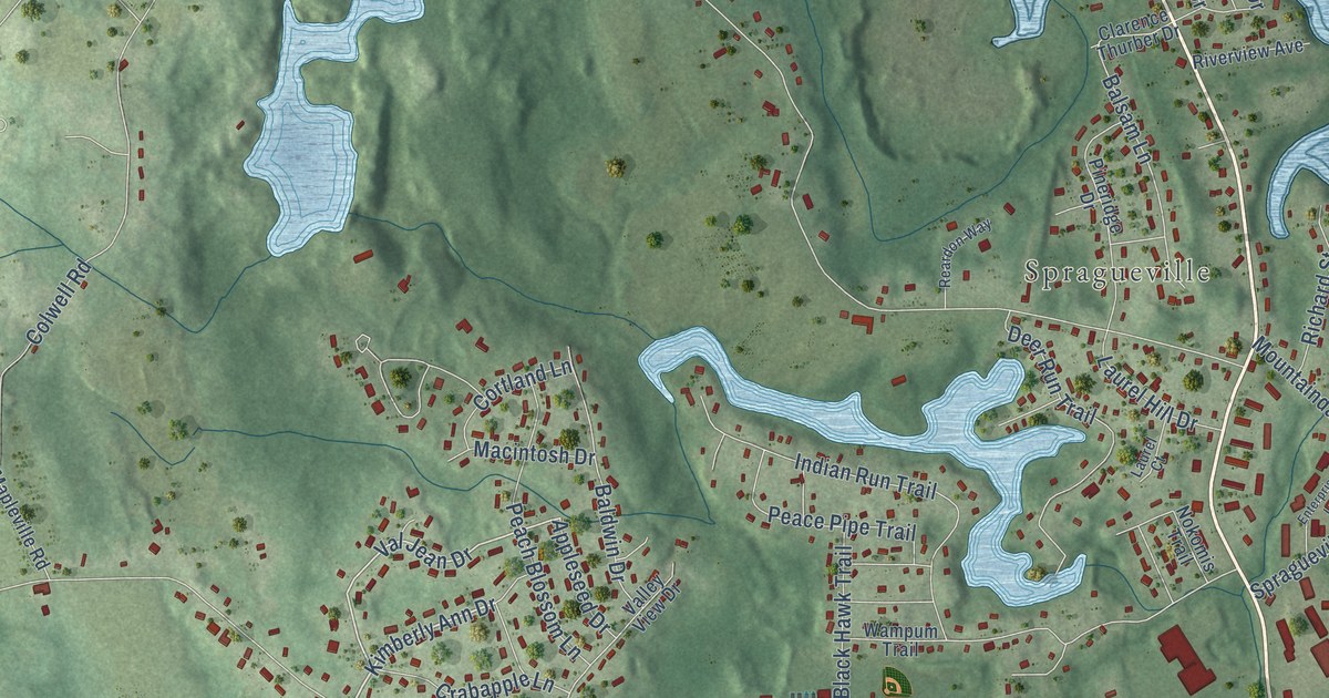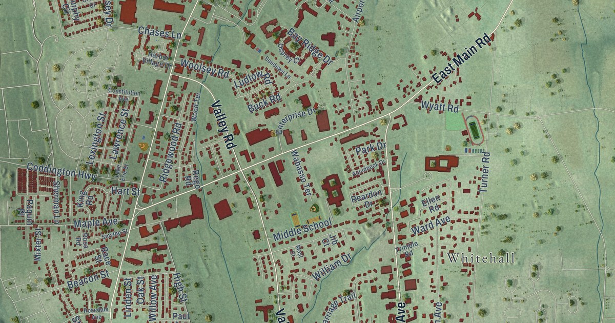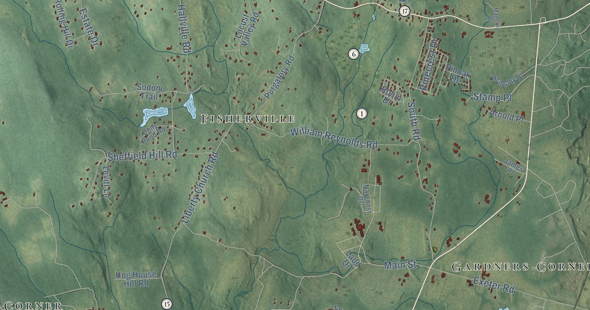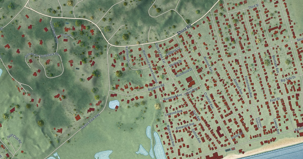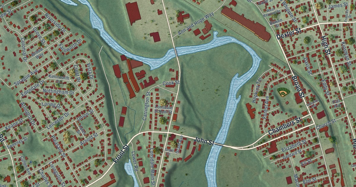
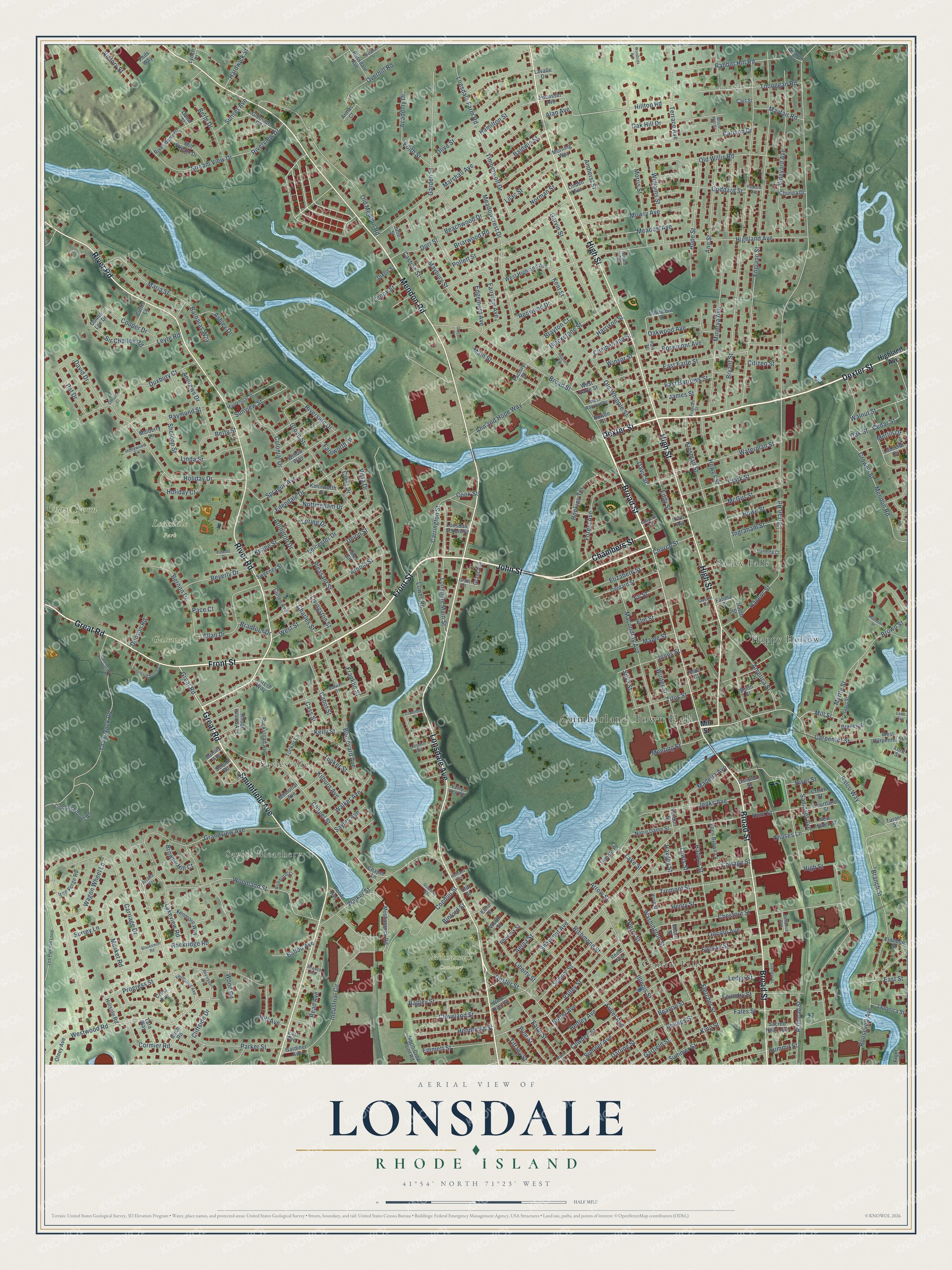
This beautifully detailed map of Lonsdale, Rhode Island was created in 2026 using aerial imagery combined with modern topographical, census, street and landmark data. It’s a one-of-a-kind view of Lonsdale that combines accurate data with a vintage aesthetic. The map shows every building in its true location, many of the roads carry their names, and the shaded topographic relief shows the shape of the land.
Explore an aerial view of Lonsdale, Rhode Island
On the map you’ll find Cumberland Town Hall, Chase Farm Park, Lonsdale Park, Moshassuck Cemetery, Gateway Park, Valley Falls, Sayles Bleachery, Saylesville, Happy Hollow, and Central Falls, along with Broad Street, Front Street, and more. If you look closely you can even find your house accurately drawn in its correct location. Zoom in on the preview to look for yours.
Did You Know?
From Internet Archive: "Mr. 0 spoke of cases within his own observation, especially of the excellent influence of the library in Lonsdale, founded there by the Corpwition and very flourishing."
Lonsdale is a community in Providence County.
Take a closer look at the Lonsdale map
Names on this map
These names are printed on this map.
Places: Cumberland Town Hall, Chase Farm Park, Lonsdale Park, Moshassuck Cemetery, Gateway Park, Valley Falls, Sayles Bleachery, Saylesville, Happy Hollow and Central Falls.
Streets and roads: Broad Street, Front Street, Dexter Street, John Street, Great Road, Chambers Street, High Street, Lonsdale Avenue, River Road, Mendon Road, Smithfield Avenue, Grandview Avenue.
More street names, A to Z
Academy Drive, Acorn Street, Aetna Street, Alan Avenue, Allan Drive, America Street, Amherst Street, Andrews Drive, Ann and Hope Way, Ann Street, Arcadia Way, Arlington Drive, Armas Court, Arnold Street, Arrow Street, Ashley Drive, Bagley Street, Baldwin Street, Ballou Avenue, Barbaras Way, Barney Avenue, Beachwood Drive, Beacon Street, Beauregard Avenue, Bellevue Avenue, Bells Court, Belmont Terrace, Berm Drive, Bernon Drive, Betty Street, Beverly Drive, Binford Street, Birch Hill Drive, Birch Road, Blacksmith Road, Blackstone Street, Blissdale Avenue, Boulevard Avenue, Bowen Street, Bradford Drive, Brailey Street, Branch Avenue, Branch Street, Brayton Court, Briarwood Road, Browne Hill Court, Brown Street, Bryant Street, Burwell Street, Butler Avenue, Cabot Street, Canal Street, Candida Court, Carlson Drive, Carl Street, Carpenter Street, Carriage Drive, Carrington Street, Cass Street, Castine Street, Cedar Street, Chapel Lane, Chapel Street, Charles Street, Chases Lane, Chestnut Street, Christian Court, Chunga Drive, Church Street, Citizen Street, Clairmont Street, Claremont Street, Clark Street, Cleveland Street, Cliffside Drive, Cliff Street, Colonial Drive, Conduit Street, Cook Street, Cooper Drive, Cormier Road, Cottage Street, Courtland Street, Cowden Street, Crest Avenue, Crest Drive, Crocus Street, Crowell Street, Crown Street, Cullen Avenue, Cumberland Street, Curran Road, Curtis Lane, Darling Street, David Drive, Davis Street, Denson Road, Division Street, Dixon Street, Donald Avenue, Donna Lee Drive, Dorr Street, Dutchess Way, Duxbury Court, Earle Street, East Avenue, East Barrows Street, East Earle Street, East Street, Eben Brown Lane, Echo Street, Eddy Street, Edendale Drive, Edgehill Avenue, Edgemont Avenue, Edith Street, Eldridge Street, Eli Street, Elizabeth Street, Elm Street, Emmett Street, England Street, Factory Street, Fairmount Avenue, Fairview Avenue, Fales Street, Farnworth Drive, Fatima Drive, Fletcher Street, Forest Avenue, Forest Way, Foundry Street, Frances Street, Franklin Street, Fuller Avenue, Garden Street, Gardiner Avenue, Garfield Street, Garvin Street, Gaskin Lane, Geldard Street, Glenside Road, Goddard Street, Grant Avenue, Grant Court, Grove Street, Hadwin Street, Hamilton Street, Hardwick Street, Harrison Street, Hatch Street, Havens Street, Hawley Street, Hedley Avenue, Hendricks Street, Henry Street, Hewes Street, Highland Avenue, Hill Avenue, Hillside Road, Hilltop Road, Holiday Court, Holiday Drive, Hollywood Lane, Hood Street, Hope Street, Hopkins Terrace, Howe Street, Hunt Street, Illinois Street, Industrial Circle, Ingraham Street, Iron Forge Road, James Street, Japonica Street, Jenks Avenue, Jones Street, Julie Street, Keane Street, Kelly Street, Kenilworth Drive, Kenmore Way, Kent Street, Kilburn Avenue, King Street, Kinsman Street, Lafayette Avenue, Lake Street, Lakeview Road, Lancelot Drive, Lavalle Drive, Lawn Avenue, Ledge Street, Leicester Drive, Lenox Street, Les Pawson Loop, Lewis Street, Leyte Road, Liberty Street, Lilac Street, Lincoln Avenue, Lincoln Woods Road, Linda Street, Linden Avenue, Livingston Street, Lonsdale Farm Road, Lonsdale Main Street, Lonsdale School Street, Lord Street, Loring Drive, Lower Road, Lynch Place, Macondray Avenue, Madeira Avenue, Main Street, Manchester Print Wks Road, Maplehurst Street, Maple Street, Maria Street, Marshall Avenue, Maybury Street, Mayfair Road, McGirr Street, Meadow Avenue, Meadowcrest Drive, Meeting Street, Memorial Avenue, Merlin Drive, Mill Stream Drive, Mill Street, Minerva Avenue, Moore Street, Morning Way, Morris Street, Moshassuck Road, Mowry Avenue, Mulberry Lane, Musket Road, Myrtle Street, New Haven Street, Norman Street, North Crow Point Road, Notre Dame Street, Nottingham Drive, Oak Hill Drive, Oak Street, Oakwood Avenue, Old Mendon Road, Old Whipple Street, Old Willis Road, Olive Street, Olney Avenue, Overhill Road, Pace Court, Packard Avenue, Parker Street, Park Street, Pascale Drive, Pat Drive, Patt Avenue, Perry Street, Phillips Street, Phils Way, Phoenix Street, Pine Street, Pleasant Street, Pocasset Avenue, Pollett Street, Pond Avenue, Preserved Arnold Court, Progress Street, Prospect Street, Rabbitt Hill Road, Railroad Street, Ralco Way, Raymond Street, Read Avenue, Redwood Drive, Reed Avenue, Rhode Island Avenue, Richland Avenue, Richmond Street, River Bank Drive, Riverside Drive, River Street, Riverview Drive, Robinson Street, Rockridge Road, Rockyroad Avenue, Roland Street, Roosevelt Avenue, Rosemont Avenue, Sacred Heart Avenue, Samoset Avenue, Sayles Avenue, School Road, School Street, Sharon Drive, Shawmut Avenue, Sheldon Street, Sheridan Street, Silva Street, Sir Charles Road, Smith Street, Sprague Avenue, Stream View Drive, Summer Street, Summit Street, Sumner Avenue, Sunset Avenue, Sunview Street, Surrey Lane, Sweeney Street, Sylvian Street, Table Rock Road, Tara Way, Temple Place, Terrace Avenue, Tiffany Street, Timberwolf Drive, Titus Street, Toboggan Road, Tremont Street, Tucker Lane, Tucker Street, Turner Street, Union Street, Valley Street, Valley View Road, Verdun Street, Victory Street, Vineyard Avenue, Vista Drive, Wagon Wheel Lane, Walker Avenue, Walker Street, Walnut Street, Washington Street, Waterman Street, West Barrows Street, West Carpenter Street, West Earle Street, West Highland Avenue, West Hunt Street, West Street, Westwood Road, Williams Street, Willow Way, Winsor Street, Winter Street, Woodland Court, Woodland Street, Wood Road, Woodside Avenue, Worth Street, Yates Street.
See it on a wall
The Lonsdale map as a framed print. Swipe for more.


This beautifully detailed map of Lonsdale makes an attractive addition to your office, library, or den, and it can even be used to teach children the geography and history of the area. It also makes a great gift for someone who left Lonsdale and still calls it home. When you’re done exploring, click here to get your copy of the Lonsdale map.