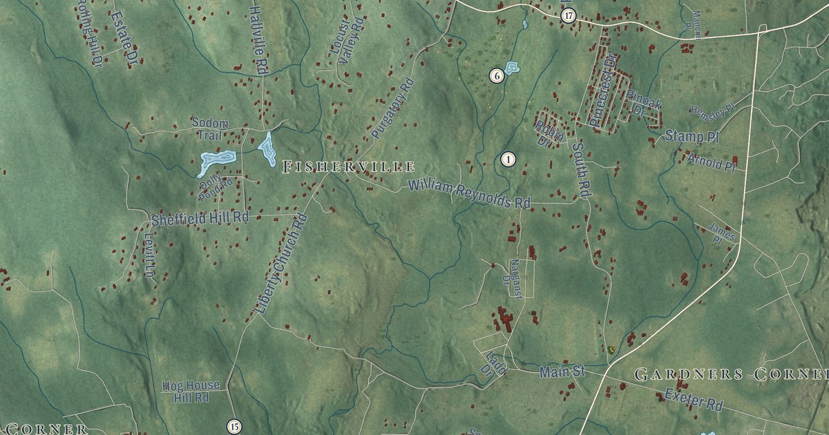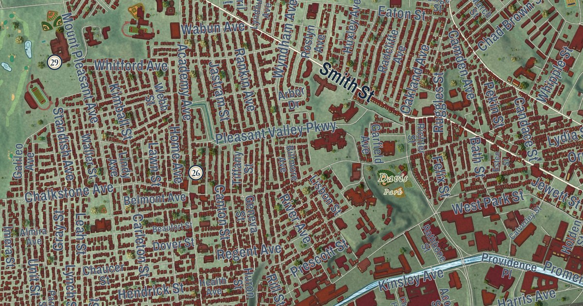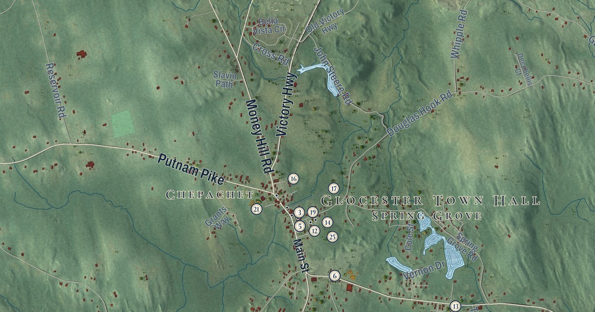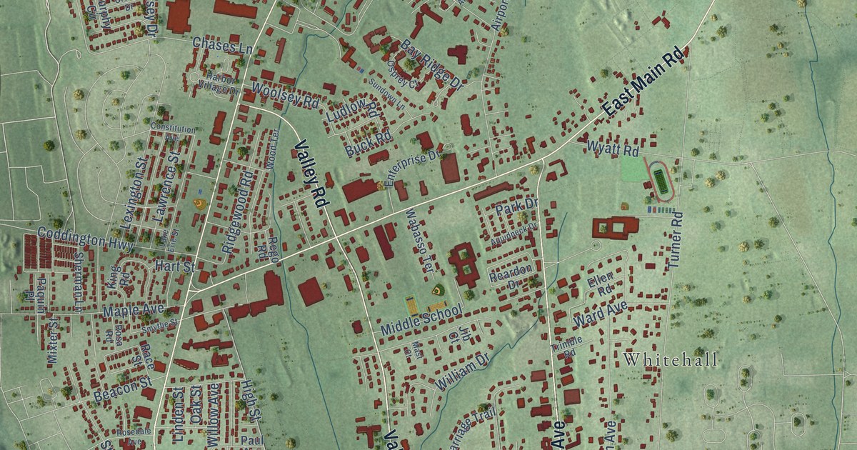
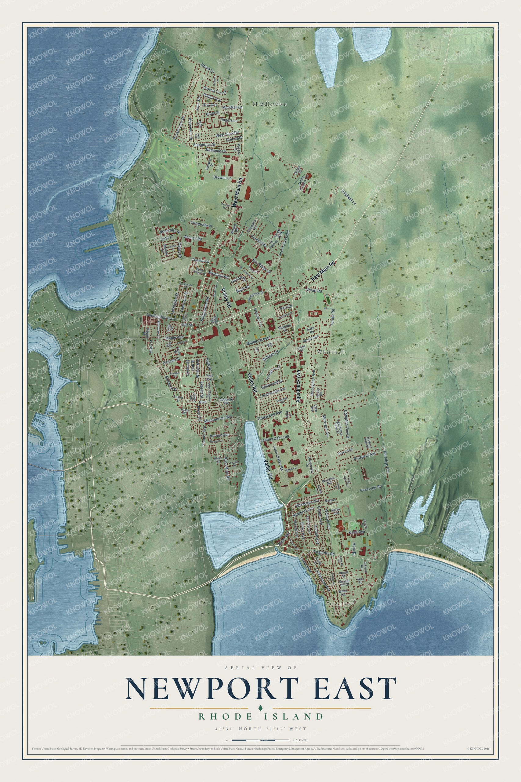
This beautifully detailed map of Newport East, Rhode Island was created in 2026 using aerial imagery combined with modern topographical, census, street and landmark data. It's a modern aerial view of Newport East in Newport County, Rhode Island, that combines modern data with a vintage aesthetic. The roads feature printed names, and if you look closely you can find your exact house accurately shown in its correct location.
Explore an aerial view of Newport East, Rhode Island
On this map you'll find Purgatory, Middletown, Whitehall, Aquidneck Avenue, West Main Road, Valley Road, East Main Road, Purgatory Road, Paradise Avenue, Green End Avenue, High Street, Bliss Mine Road, and more. Each red shape is a building, so zoom in on the preview and look for yours.
Here is a piece of Newport East history. Card's Redoubt, also called the Green End Redoubt, was part of a line of defenses the British built around Newport in 1778. General Sullivan's forces fired on it from Honeyman's Hill during the siege of Newport. Of more than a dozen British forts in Middletown, it was the only one to survive, in a stand of trees off Boulevard. That's from the state Historical Preservation Commission.
Newport East is a community in Newport County. The Census Bureau counted 12,337 people here in 2020.
Take a closer look at the Newport East map
Names on this map
These names are printed on this map.
Places: Purgatory, Middletown, Whitehall and Forest Park.
Streets and roads: Aquidneck Avenue, West Main Road, Valley Road, East Main Road, Purgatory Road, Paradise Avenue, Green End Avenue, High Street, Bliss Mine Road, Tuckerman Avenue, Wolcott Avenue, Turner Road.
More street names, A to Z
Acacia Drive, Access Road, Adelaide Avenue, Admiralty Drive, Airport Access Road, Algonquin Drive, Allston Avenue, Aquidneck Drive, Ashurst Avenue, Bailey Terrace, Bay Ridge Drive, Beacon Street, Bliss Road, Boulevard, Boulevard Terrace, Browns Lane, Buck Road, Carriage Trail, Casey Drive, Center Avenue, Champlin Terrace, Chases Lane, Coddington Highway, Colony Drive, Compton View Drive, Concord Drive, Constitution Avenue, Corporate Place, Cows Path, Crescent Road, Crest Street, Dexter Street, Dudley Avenue, Ellen Road, Ellery Avenue, Enterprise Drive, Esplanade, Everett Street, Faculty Drive, Fairway Drive, Fenner Avenue, Forest Avenue, Gate 17, Goldenrod Drive, Gossets Turn Drive, Green Lane, Harbor Village Drive, Harold Lane, Hart Street, Harvey Road, Hilltop Avenue, Honeyman Avenue, James Francis Terrace, James Street, Jean Street, Jean Terrace, Jib Court, John Clarke Road, Johnny Cake Hill, Julia Court, Kane Avenue, Kent Road, King Road, Lake Erie Street, Lawrence Street, Lexington Street, Lighthouse View Drive, Linden Street, Longmeadow Avenue, Loring Street, Ludlow Road, Maidford River Road, Main Drive, Maloney Lane, Maple Avenue, Marshall Lane, Mast Court, Miantonomi Avenue, Middle School, Mixter Street, Morrison Avenue, Murphy Circle, Namquid Drive, Newport Avenue, Oak Street, Oceanview Drive, Odonnell Road, Old Airport Road, Oliphant Lane, Orville Drive, Osprey Court, Paquin Place, Park Drive, Paul Avenue, Perry Avenue, Phelps Road, Philips Avenue, Pocahontas Drive, Pocono Road, Prospect Avenue, Race Street, Reardon Drive, Rego Road, Renfrew Avenue, Reservoir Road, Ridgewood Road, River Run, Rogers Lane, Rosa Road, Rosedale Avenue, Roy Avenue, Samson Lane, Seascape Avenue, Shangri la Lane, Sherman Lane, Silva Lane, Smythe Street, Squantum Drive, Stimpson Street, Stockton Drive, Sundown Lane, Sunset Hill Street, Susan Court, Toni Lynn Terrace, Trimble Road, Unity Drive, Vanicek Avenue, Vernon Avenue, View Avenue, Wabasso Terrace, Ward Avenue, Warren Avenue, Wave Avenue, Wayside Avenue, West View Road, White Terrace, William Drive, Willow Avenue, Wilson Road, Wood Terrace, Woolsey Road, Wyatt Road.
See it on a wall
The Newport East map as a framed print. Swipe for more.


Created by KNOWOL in 2026. The buildings are small red shapes, the roads carry their printed names, and shaded relief shows the shape of the land. The title panel reads "AERIAL VIEW OF NEWPORT EAST, RHODE ISLAND" with 41°31' NORTH 71°17' WEST.
It suits a den, a classroom or a front hall, and it makes a gift for anyone with Newport East roots. Open the preview and find the block you know. See sizes and frames for the Newport East map.