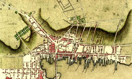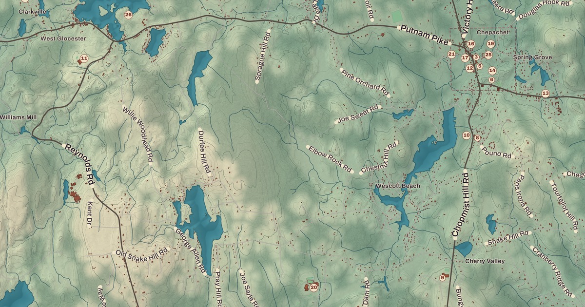
Every Fourth of July the Ancient and Horribles Parade comes down Putnam Pike in Chepachet, with veterans, fire trucks and floats that poke fun at the politics of the day. Chepachet is printed on this map with the Chepachet Village Historic District, and so are Harmony, the Dorr Rebellion Museum, the Glocester Town Pound, the Manton-Hunt-Farnum Farm, Byron Winsor Park, Marion Irons Beach and Snake Hill Road.
Glocester is in Providence County, and Putnam Pike runs west through it all the way to Putnam, Connecticut.
KNOWOL made this map in 2026 from public survey records and gave it the look of an old atlas. The shaded relief around Byron Winsor Park and Marion Irons Beach comes from United States Geological Survey elevation data. The streets come from Census Bureau files, down to Snake Hill Road, and the Census Bureau puts the town at 56.8 square miles, 54.8 of them land, with the Waterman Reservoir among its waters. The Glocester Town Pound is on the National Register of Historic Places, and we checked the town’s Register landmarks against National Park Service records. Glocester had 9,974 people at the 2020 census.
Gloucester to Glocester
The land was part of Providence until 1731, when it became a town of its own, named Gloucester for Henry Stuart, Duke of Gloucester. In 1806 the northern part became the town of Burrillville, and at the same time the people who stayed voted to spell their town’s name Glocester, to tell it apart from Gloucester, Massachusetts. Chepachet’s name means “where rivers meet,” and the area was home to Pequot and Nipmuc people before the English came.
Before the Revolution the area was a hotbed of support for independence. The Gloucester Light Infantry was founded in Chepachet in 1774, and when Loyalists from Newport were sent to live on Stephen Keach’s farm here, one of them, Thomas Vernon, wrote in 1776 that the people were “inclined much to talk of liberty.” He also described election day in Chepachet as “a day of great frolicking,” with crowds coming in and a man on horseback selling cakes made by the mother of General William West.
The Dorr Rebellion
In the 1840s Rhode Island was still governed under its colonial charter of 1663, which let only men who owned land vote. Thomas Wilson Dorr led a movement to change that, and the town page says the Dorr Rebellion began in Glocester in 1841; its endgame came at Chepachet in 1842. The rebellion failed, but it forced Rhode Island to rewrite its constitution, and the Chepachet page says it helped win voting rights for non-landowners. The Dorr Rebellion Museum is printed on the map.
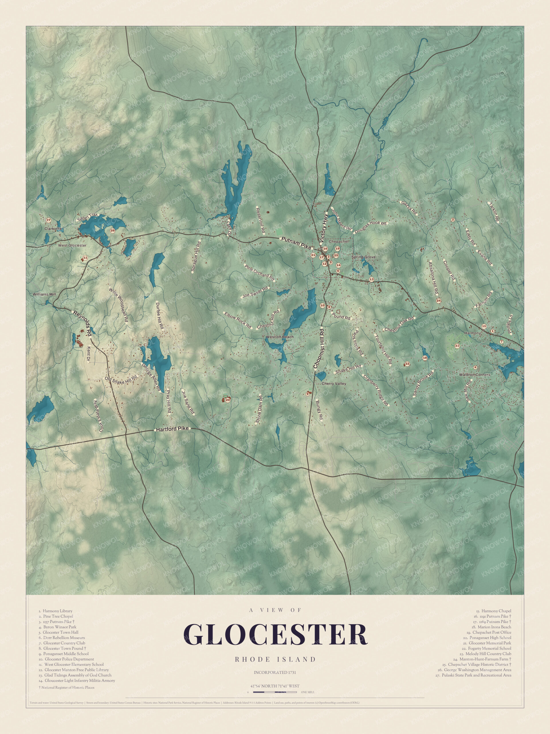
Click to explore a larger preview. The digital watermark does not appear on printed maps.
Names on this map
These names are printed on this map.
Places: Chepachet, Harmony, Clarkville, Spring Grove, West Glocester, Cherry Valley, Waldron Corners, Williams Mill and Wescott Beach.
Streets and roads: Reservoir Rd, Tarklin Rd, Hartford Pike, Hill Rd, Kent Dr, Cook Estate Way, Absalona Hill Rd and Tourtellot Hill Rd.
Chepachet
Chepachet sits where Putnam Pike, US Route 44, crosses Route 102, and the Chepachet River runs through the village. The Ancient and Horribles Parade has marched along Putnam Pike since 1926, its page says, mixing traditional floats with irreverent, satirical displays on politics and culture. It began while Calvin Coolidge, a member of Boston’s Ancient and Honorable Artillery Company, was president, and as the parade’s 2008 chair put it, “Rhode Islanders being Rhode Islanders made fun of them.” In 1923 H. P. Lovecraft and C. M. Eddy Jr. came looking for a rumored “Dark Swamp” nearby, and though they never found it, the region inspired at least the opening of Lovecraft’s “The Colour Out of Space.” In the 1940s the Navy named a fuel oil tanker, the USS Chepachet, after the river, and the ship’s bell is displayed at the seat of town government.
The Glocester Town Pound, a stone pen on Pound Road and Chopmist Hill Road, was built in 1748 to hold stray livestock, and the town claims it as the oldest pound still standing in America. It joined the National Register in 1970. Out on Putnam Pike, the Manton-Hunt-Farnum Farm, also called the Pardon Hunt Farm, has a two-and-a-half-story Federal farmhouse that Daniel Manton built around 1793, with barns, henhouses, a corn crib and a privy behind it; it joined the National Register in 1985.
Harmony and around
Harmony, the town’s other village, also sits on Putnam Pike, and the Harmony Chapel and Cemetery from 1816 stand at its center. In the early 1800s a toll booth of the Glocester Turnpike stood in Harmony to pay for the road’s upkeep, until the toll ended in the 1850s. Byron Winsor Park and Marion Irons Beach are named on the map as well. The building at 1157 Putnam Pike is one of the town’s landmarks too. Charles J. Fogarty, a state senator and Rhode Island’s 67th lieutenant governor, lived in Glocester.
This map of Glocester is a good fit for an office, library or den, and it can help teach children the geography and history of the town where the fight for the vote came to a head. KNOWOL made it in 2026 for people who call Glocester home, from Chepachet to Harmony, and it shows the town as it looks today. Zoom in on the preview above to explore the details, then click here to get your copy of the Glocester map.

Sources