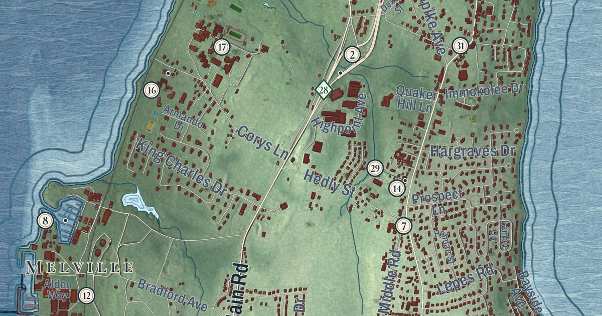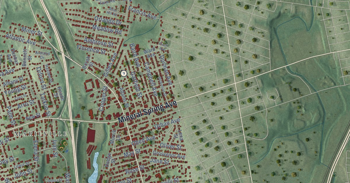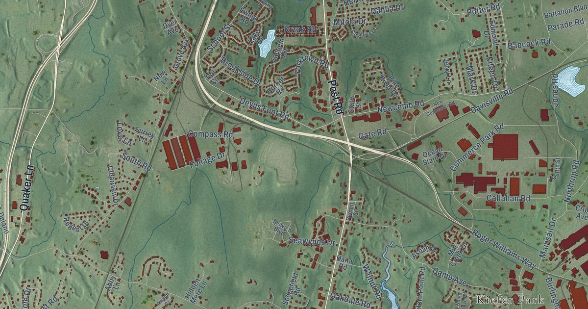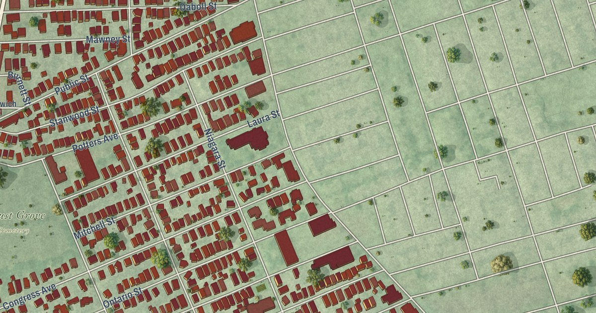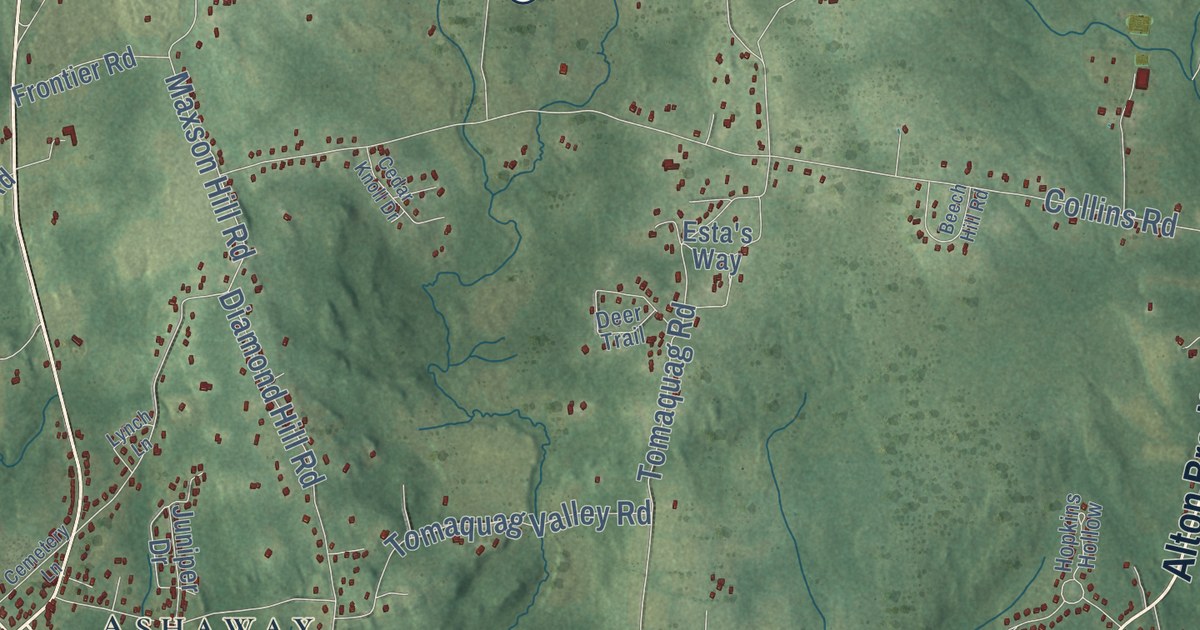
This beautifully detailed map of Hopkinton, Rhode Island was created in 2026 using aerial imagery combined with modern topographical, census, street and landmark data. It’s a one-of-a-kind view of Hopkinton that combines accurate data with a vintage aesthetic. The map shows every building in its true location, many of the roads carry their names, and the shaded topographic relief shows the shape of the land.
See the Hopkinton, Rhode Island map on a wall
The Hopkinton map as an 18 x 24 inch print in a black frame.

Explore an aerial view of Hopkinton, Rhode Island
On the map you’ll find Hopkinton Town Hall, Barberville, Arcadia Management Area, Bradford, Canonchet, Hope Valley, Bethel, Woodville, Brudickville, Rockville, Moscow, Ashaway, and more. If you look closely you can even find your house accurately drawn in its correct location. Zoom in on the preview to look for yours.
Did you know this piece of Hopkinton, Rhode Island history?
Hopkinton honors Stephen Hopkins, who signed the Declaration of Independence. He was governor of the Rhode Island colony in 1757. That year the town split off from Westerly and was incorporated. Its villages, such as Locustville and Moscow, grew up around mills and took their names from them.
Take a closer look at the Hopkinton map
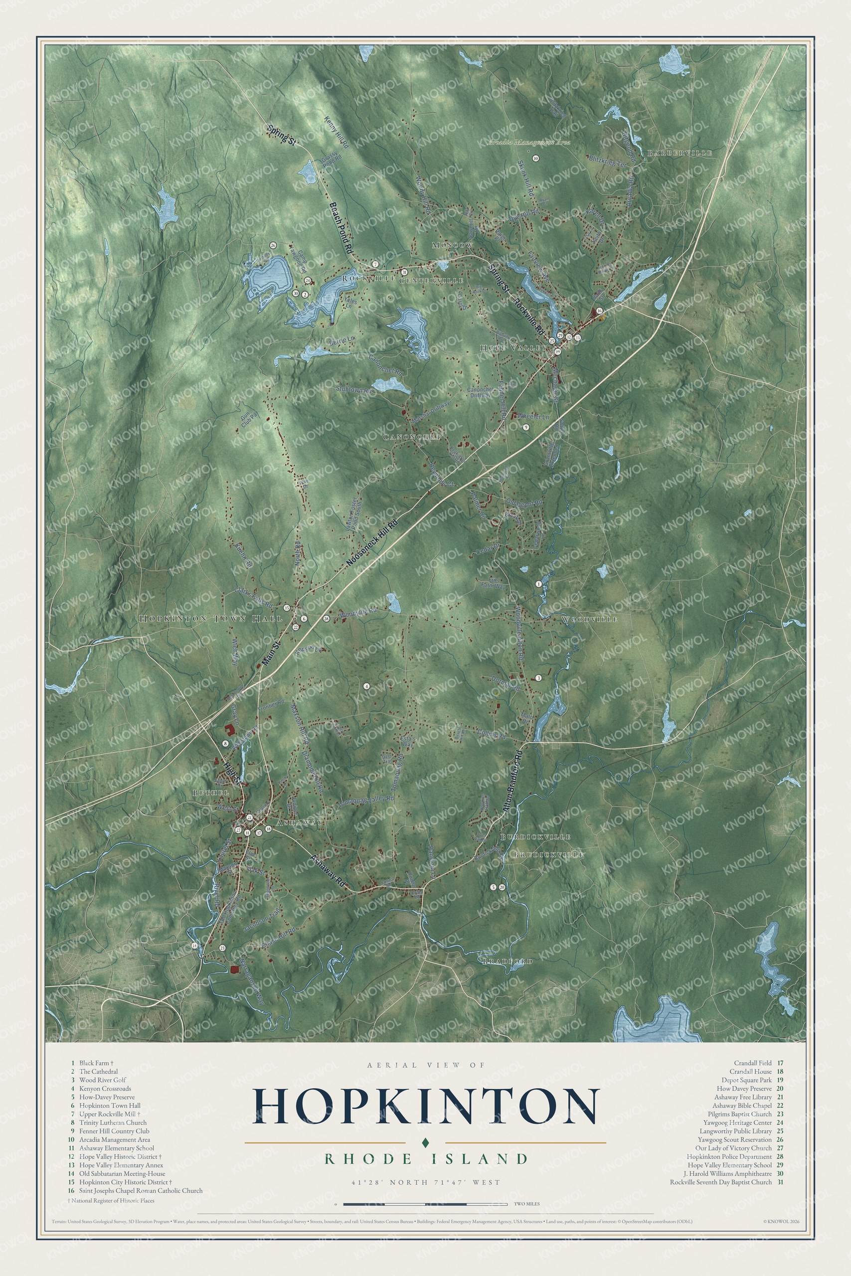
Click to explore a larger preview. The digital watermark does not appear on printed maps.
Street and place names on the Hopkinton, Rhode Island map
These names are printed on the map of Hopkinton, Rhode Island.
Places: Hopkinton Town Hall, Barberville, Arcadia Management Area, Bradford, Canonchet, Hope Valley, Bethel, Woodville, Brudickville, Rockville, Moscow, Ashaway, Centerville and Burdickville.
Streets and roads: Main Street, Alton Bradford Road, Spring Street, Nooseneck Hill Road, Rockville Road, Beach Pond Road, Ashaway Road, High Street, Clarks Falls Road, Laurel Street, Woodville Alton Road, Palmer Circle.
More street names, A to Z
Anthony Road, Arcadia Road, Bank Street, Beech Hill Road, Berrie Lane, Big Rock Drive, Bitgood Road, Blitzkrieg Terrace, Blitzkrieg Trail, Brook Drive, Burdickville Road, Camp Yawgoog Road, Canonchet Driftway, Canonchet Road, Carol Drive, Cedar Drive, Cedar Knoll Drive, Cedarwood Lane, Cemetery Lane, Chase Hill Road, Collins Road, Deer Trail, Diamond Hill Road, Dormar Road, Dye Hill Road, Edgewood Avenue, Elaine Drive, Elm Street, Esta's Way, Fairview Avenue, Fenner Hill Road, Frances Barber Drive, Friel Farm Way, Frontier Road, Grantville Extended, Grassy Pond Road, Gray Lane, Grills Lane, Gun Club Pa, Highview Avenue, Hopkins Hollow, Hopkinton Hill Road, Jacobson Trail, James Road, Juniper Drive, Karen Drive, Keith Drive, Kenny Hill Road, Kenyon Lane, Kuehn Road, Lawton Foster Road South, Lisa Lane, Lynch Lane, Malo Drive, Marshal Driftway, Maxson Hill Road, Maxson Street, Mechanic Street, Narragansett Way, New London Turnpike, North Road, Oak Street, Old Depot Road, Old Hopkinton Cemetery Road, Paige Place, Panciera Lane, Pine Drive, Quiet Oak Drive, Reynolds Court, River Road, Ryan Circle, Sawmill Road, Skunk Hill Road, South Drive, Stubtown Road, Switch Road, Teft Court, Thurston Drive, Tomaquag Road, Tomaquag Valley Road, Townsend Road, Vuono Place, Wellstown Road, West Street, Wheeler Lane, Wich Way, Woodville Road, Woody Hill Road, Yeles Lane.
This beautifully detailed map of Hopkinton makes an attractive addition to your office, library, or den, and it can even be used to teach children the geography and history of the area. It also makes a great gift for anyone who grew up in Hopkinton or moved away. When you’re done exploring, click here to get your copy of the Hopkinton map.