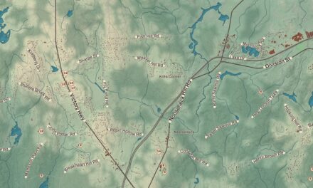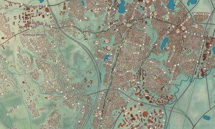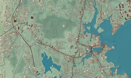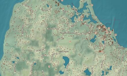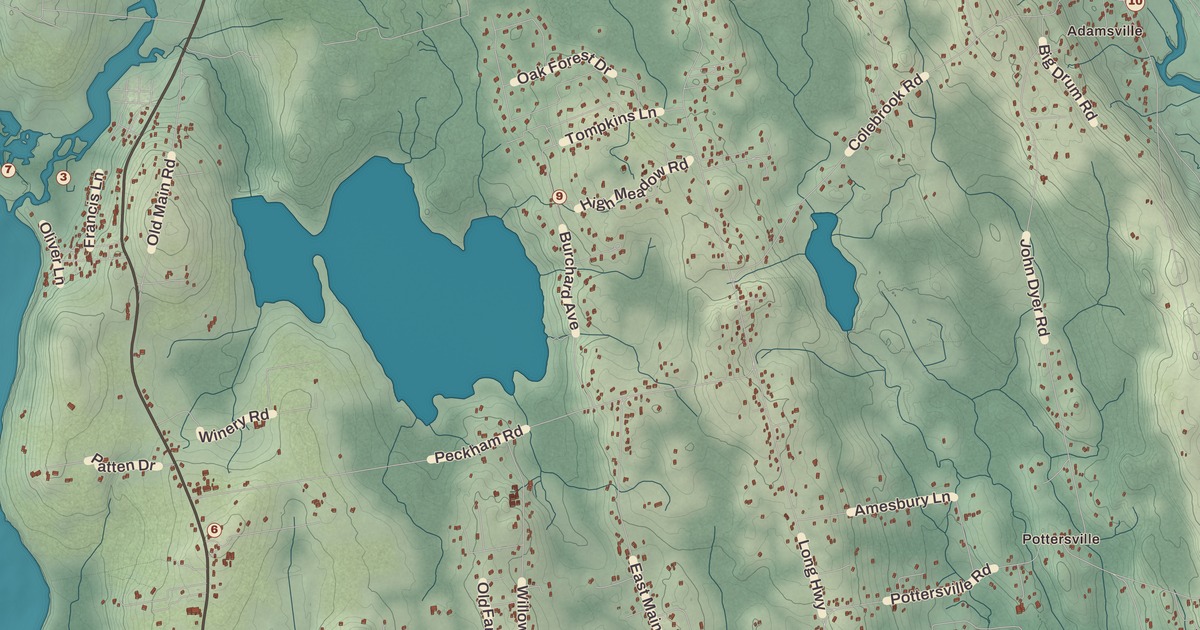
Little Compton has a monument to a chicken. This map of Little Compton prints the Rhode Island Red Monument in Adamsville, along with the Little Compton Common Historic District, the William Whalley Homestead, South Shore Beach, the Goosewing Beach Preserve, Tappens Beach, Lloyd’s Beach and the Fogland Marsh Preserve, from Adamsville down to Sakonnet, with Long Highway among its roads.
Little Compton is in Newport County, between the Sakonnet River and Westport, Massachusetts, with the Atlantic Ocean on its southern shore.
KNOWOL made this map in 2026 from public survey records and gave it the look of an old atlas. The shaded relief around Lloyd’s Beach and Tappens Beach comes from United States Geological Survey elevation data. The streets come from Census Bureau files, down to Long Highway, and the Census Bureau puts the town at 28.9 square miles, 20.9 of them land. The William Whalley Homestead and the Rhode Island Red Monument are on the National Register of Historic Places, and we checked them against National Park Service records. Town records counted 3,589 people in 2022.
Sakonnet
This was the home of the Sakonnet people, and their settlement was called Sakonnet, a name that’s been read in several ways, among them “where the water pours forth.” Their leader in the 17th century was Awashonks, a woman sachem who rose to lead through the quality of her leadership, and her page says her talent for negotiation and diplomacy helped the Sakonnet win amnesty from the colonists. The first European settlers came from Duxbury in the Plymouth Colony. After King Philip’s War they divided the land into farm lots, taking back land that had been promised to Awashonks and her people. Benjamin Church, one of the 29 original proprietors, built a house here in 1675, and a plaque marks the spot on West Main Road.
The Plymouth Colony incorporated Sakonnet in 1682 and renamed it Little Compton, presumably after Little Compton in Warwickshire, England. It stayed in Massachusetts until a royal commission moved the line in 1747 and made it part of Rhode Island, with Tiverton and Bristol; its probate and land records from before 1746 are kept in Taunton and New Bedford. In the late Victorian years summer visitors began coming for the beaches, the farms and the cool sea air.
The Commons
Land for the town common was set aside in August 1677, and it’s been the town’s religious and civic center ever since. The Little Compton Common Historic District takes in the churches, the town hall, the Brownell Library, a former schoolhouse, C. R. Wilbur’s General Merchandise store and more, with the United Congregational Church’s tall steeple over them all. The town page counts the common among only three left in Rhode Island, with Bristol’s and Warren’s. Its old cemetery holds Benjamin Church and his family and Elizabeth Pabodie, the eldest daughter of John Alden and Priscilla Mullins of the Mayflower, whom the district page calls the first European woman born in New England. She moved here in the 1680s and died here in 1717. The district joined the National Register in 1974.
On West Main Road, the Wilbor House has been the home of the Little Compton Historical Society since the society acquired it in 1955. Its oldest part is a stone-ender built by Samuel Wilbor, the western half was added around 1740, and the farmstead was worked from the 1690s until the society took it over. The William Whalley Homestead is a Cape style farmhouse with a central chimney, probably built between 1815 and 1830, with a late 19th-century barn and a low stone wall around it. Its page calls it a well-preserved example of a typical 19th-century farmstead in the area, and it joined the National Register in 1988.
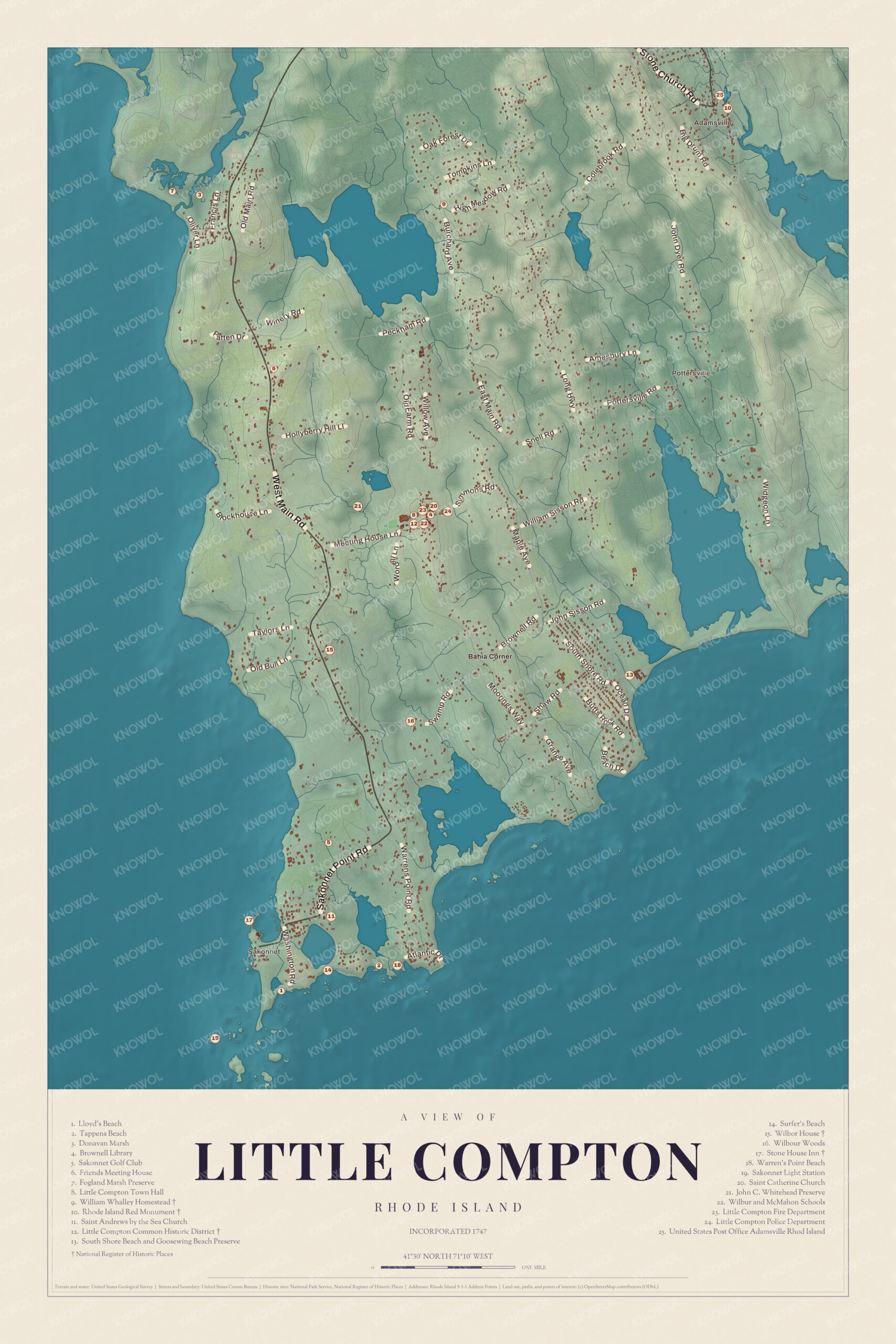
Click to explore a larger preview. The digital watermark does not appear on printed maps.
Names on this map
These names are printed on this map.
Places: Sakonnet, Adamsville, Pottersville and Bahia Corner.
Streets and roads: Old Main Rd, Francis Ln, Oliver Ln, Old Farm Rd, Willow Ave, Peckham Rd, Amesbury Ln, Colebrook Rd, Main Rd, Pottersville Rd, Sisson Rd, William St.
More street names, A to Z
Shaw Rd, Warrens Point Rd, Widgeon Ln.
The Rhode Island Red
The Rhode Island Red, now the state bird, was first bred by William Tripp near Adamsville, and its monument page says the breed began in Little Compton in the 1850s and was a key part of the local economy from about 1870 to 1910. In 1925 the Rhode Island Red Club of America paid for the monument in Adamsville, at the corner of Main Street, Adamsville Road and Old Harbor Road, on land given by Deborah Manchester; Henry L. Norton made the sculpture. Not everyone agreed on the spot. Poultry fanciers wanted Adamsville, where visitors would see it, and some locals wanted it nearer the Tripp farm. In 1954, the breed’s 100th anniversary and the year it became the state bird, a second plaque went up where Tripp raised his chickens, at William Sisson Road and Long Highway. The monument joined the National Register in 2001.
Adamsville itself was first settled in 1675 and named for John Adams. Grays General Store there was built in 1788 and held the town’s first post office, from 1804, and its village page says it was claimed to be the oldest operating general store in the United States. The village also has the “Spite Tower,” built around 1905 as a water tower, and local lore says it went up to block a neighbor’s view.
Beaches, walls and farms
South Shore Beach and Goosewing Beach sit side by side, and the town page calls them the only public beaches in Little Compton. Tappens Beach, on Warren Point, belongs to the Warren’s Point Beach Club, and Lloyd’s Beach is a gravel beach near Sakonnet Point for the people of that neighborhood. Off the point, the Sakonnet Point Lighthouse went up in 1884 and was restored in 2012. Stone walls run all through the farmland, and the town page tells of a colonial representative who boasted that Little Compton’s walls, laid end to end, would reach the State House in Boston and back. The town works to keep those farms: since 1985 a tax on real estate sales has paid for its Agricultural Conservancy Trust, which had preserved 2,162 acres by 2021.
This map of Little Compton is a good choice for an office, library or den, and it can help teach children the geography and history of a farm town by the sea. KNOWOL made it in 2026 for people who call Little Compton home, from Adamsville to Sakonnet Point, and it shows the town as it looks today. Zoom in on the preview above to explore the details, then click here to get your copy of the Little Compton map.

Sources