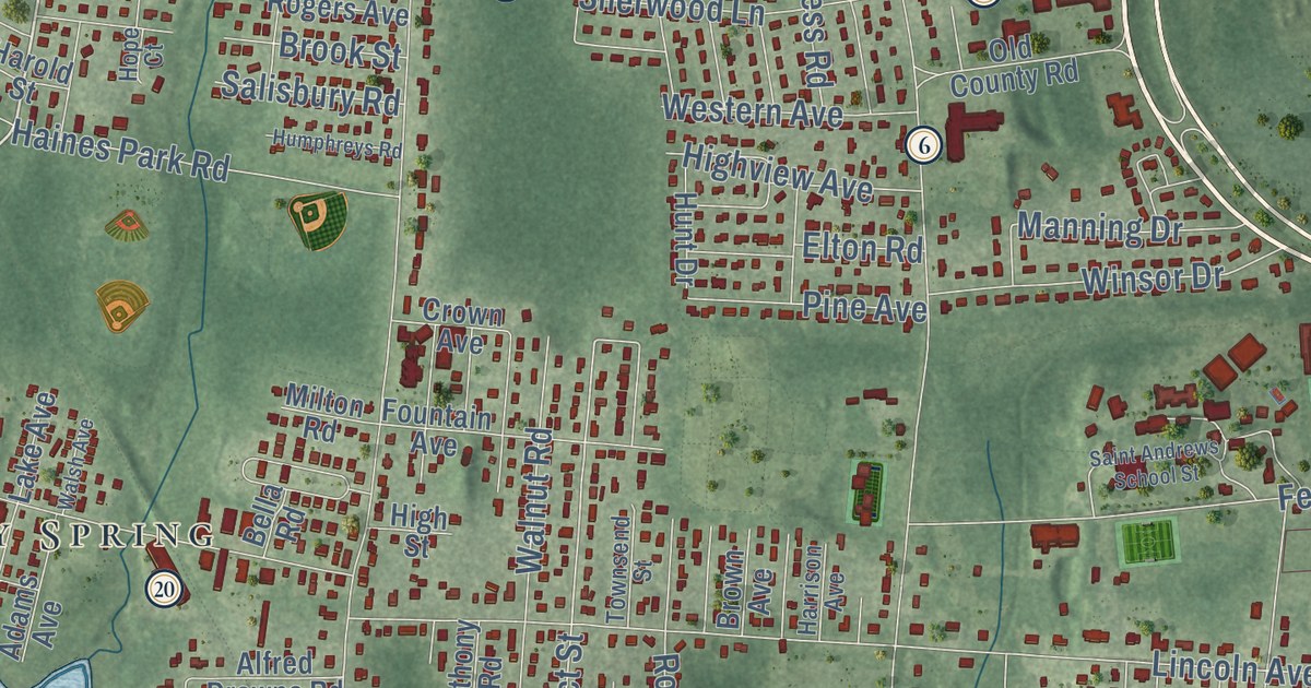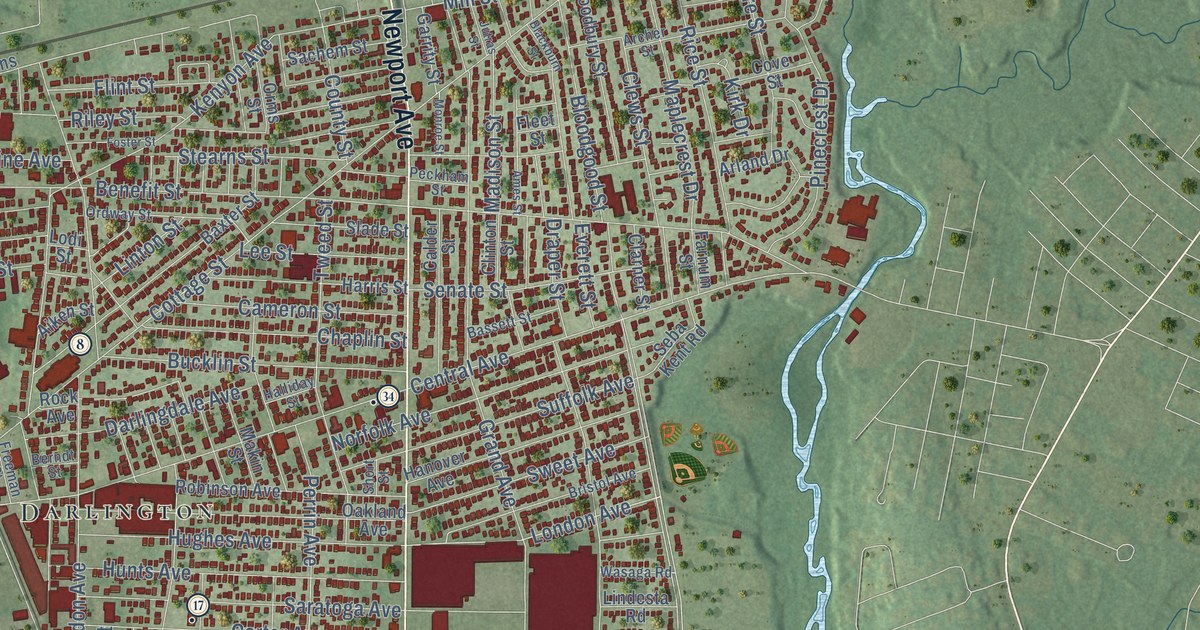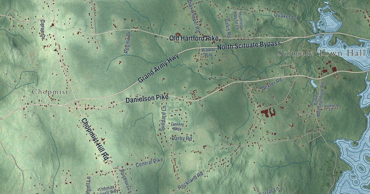
This beautifully detailed map of North Scituate, Rhode Island was created in 2026 using aerial imagery combined with modern topographical, census, street and landmark data. It’s a one-of-a-kind view of North Scituate that combines accurate data with a vintage aesthetic. The map shows every building in its true location, many of the roads carry their names, and the shaded topographic relief shows the shape of the land.
Explore an aerial view of North Scituate, Rhode Island
On the map you’ll find Scituate Town Hall, Cherry Valley, Chopmist, Waldron Corners, Harrisdale, and Saundersville, along with Chopmist Hill Road, North Scituate Bypass, Danielson Pike, East Road, Grand Army Highway, Hartford Pike, and more. If you look closely you can even find your house accurately drawn in its correct location. Zoom in on the preview to look for yours.
Did You Know?
From Internet Archive: "Philip Walker settled on the old farm at Scituate, situated northwest from the village of North Scituate, and consisting of about four hundred acres of land, where both his son."
North Scituate is a community in Providence County.
Take a closer look at the North Scituate map
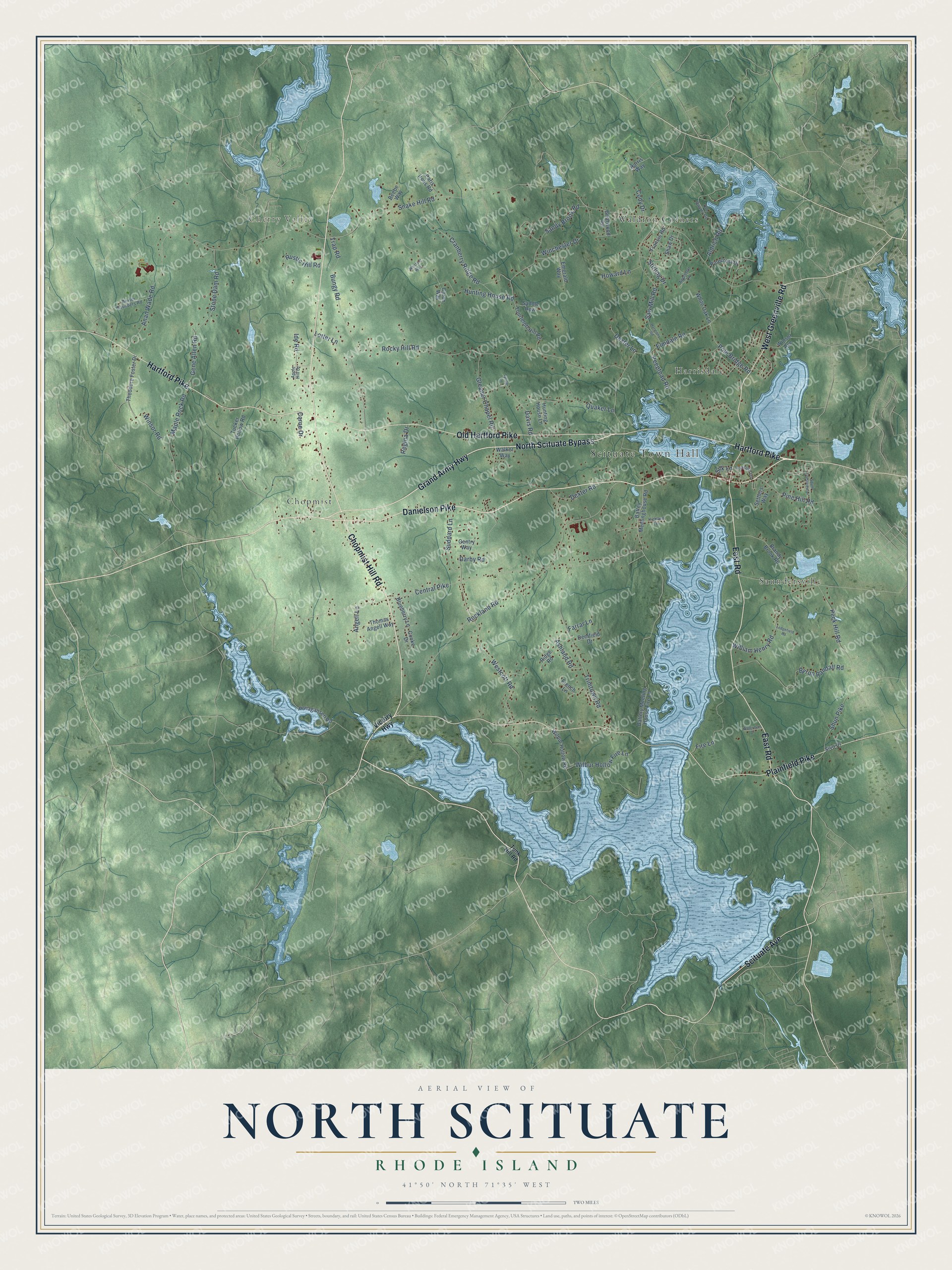
Names on this map
These names are printed on this map.
Places: Scituate Town Hall, Cherry Valley, Chopmist, Waldron Corners, Harrisdale and Saundersville.
Streets and roads: Chopmist Hill Road, North Scituate Bypass, Danielson Pike, East Road, Grand Army Highway, Hartford Pike, Old Hartford Pike, Plainfield Pike, West Greenville Road, Scituate Avenue, Fire Lane, Snake Hill Road.
More street names, A to Z
Aldrich Road, Anan Wade Road, Angell Lane, Apple Hill Drive, Appleton Lane, Ashland Road, Battery Meeting House Fire Lane, Battey Meetinghouse Road, Beebe Way, Blueberry Lane, Brandy Brook Road, Briarwood Road, Bungy Road, Byron Randall Road, Caron Way, Carue Drive, Central Pike, Cody Drive, Cooke Drive, Cranberry Ridge Road, Darby Road, Davis Road, Deerfield Drive, Dexter Lane, Dexter Road, Dexter Saunders Road, Elmdale Road, Emerald Way, Farrar Lane, Francis Road, French Lane, Gene Allen Road, Gentry Way, Gleaner Chapel Road, Harmony Road, Harris Way, Highland Terrace, Howard Lane, Hunting House Lane, Hunting House Road, Ide Road, Institute Lane, Ledgefield Road, Lotter Lane, Maple Rock Road, Old Quarry Road, Paris Irons Road, Peck Hill Road, Peeptoad Road, Pinecrest Drive, Pine Hill Road, Pole Bridge Road, Ponagansett Road, Quaker Lane, Regina Drive, Ridge Road, Rockland Road, Rocky Hill Road, Rustic Hill Road, Saddle Row, Sandy Brook Road, Saw Mill Road, Settlers Way, Shaw Drive, Shun Pike, Silk Lane, Sivo Drive, South Crestview Drive, Stirling Drive, Stone Dam Road, Suddard Lane, Theodore Foster Drive, Thomas Angell Way, Tourtelott Hill Road, Trap Road, Trimtown Road, Tucker Hollow Road, Tunk Hill Road, Tyring Lane, Victory Highway, Walker Way, Waterman Drive, Westcott Road, White Oak Lane, Whitford Way, Wilbur Hollow Fire Lane, Wilbur Hollow Road, William Henry Road, Winchester Drive, Winsor Avenue, Winsor Road.
See it on a wall
The North Scituate map as a framed print. Swipe for more.


This beautifully detailed map of North Scituate makes an attractive addition to your office, library, or den, and it can even be used to teach children the geography and history of the area. It also makes a great gift for someone who left North Scituate and still calls it home. When you’re done exploring, click here to get your copy of the North Scituate map.