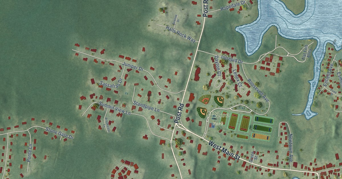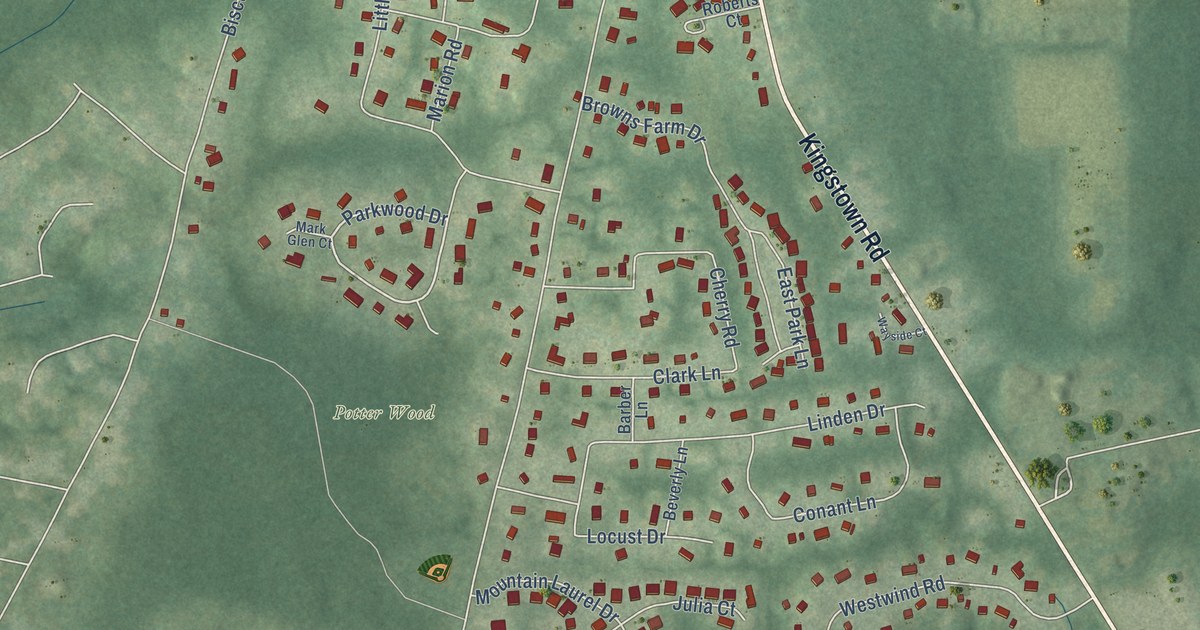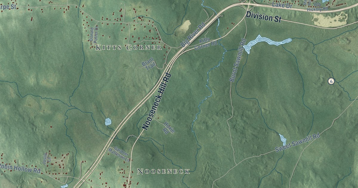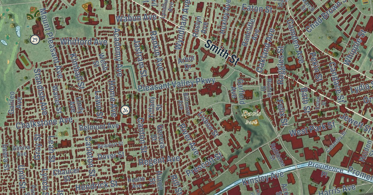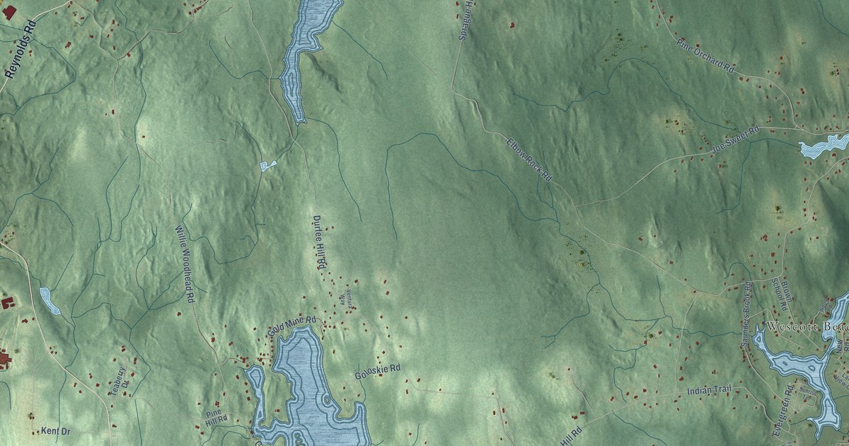
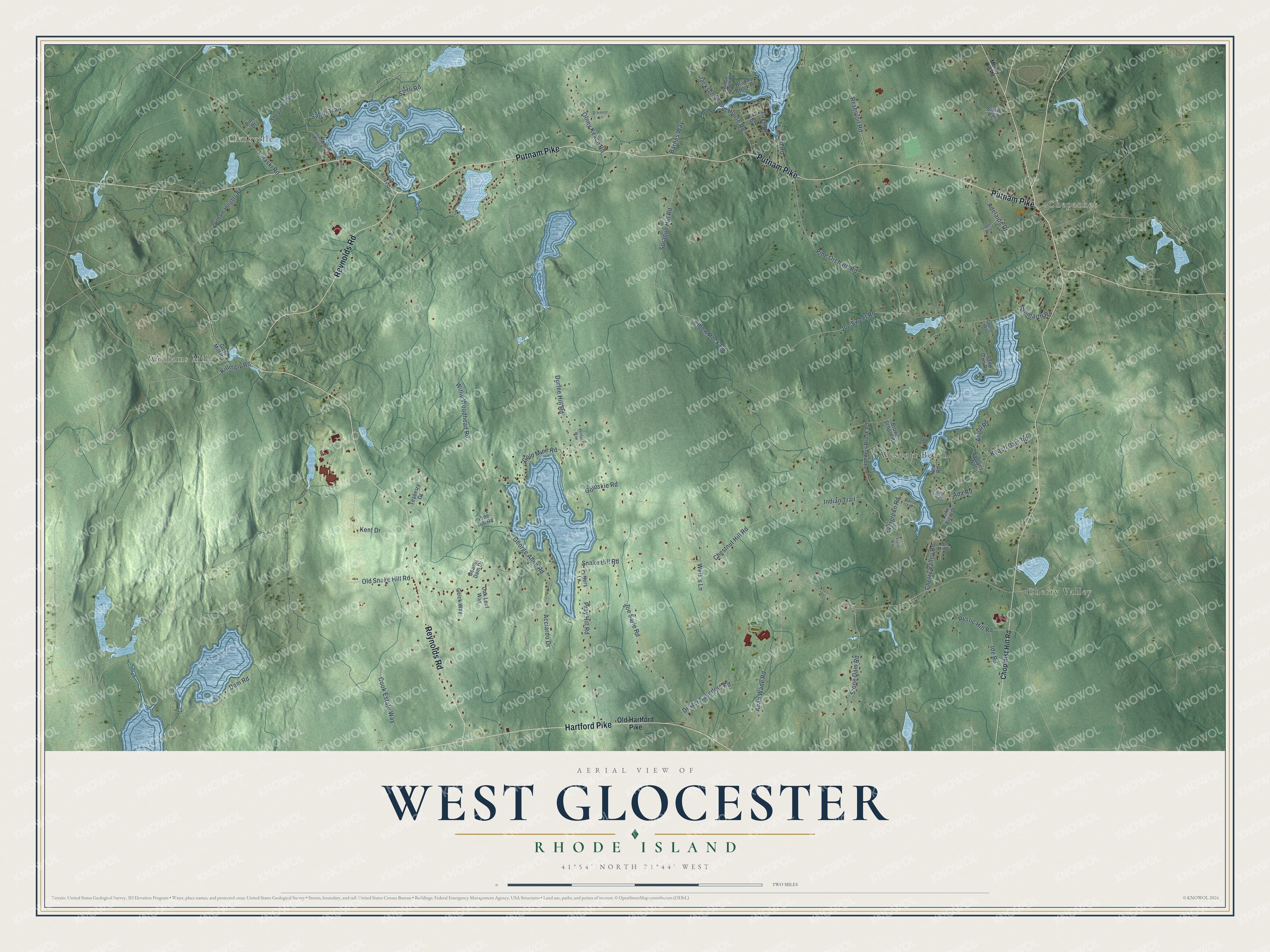
This beautifully detailed map of West Glocester, Rhode Island was created in 2026 using aerial imagery combined with modern topographical, census, street and landmark data. It’s a one-of-a-kind view of West Glocester that combines accurate data with a vintage aesthetic. The map shows every building in its true location, many of the roads carry their names, and the shaded topographic relief shows the shape of the land.
Explore an aerial view of West Glocester, Rhode Island
On the map you’ll find Clarkville, Chepachet, Williams Mill, Cherry Valley, and Wescott Beach, along with Putnam Pike, Reynolds Road, Hartford Pike, Safari Road, Elbow Rock Road, Joe Sweet Road, Chestnut Hill Road, and more. If you look closely you can even find your house accurately drawn in its correct location. Zoom in on the preview to look for yours.
Did You Know?
From Internet Archive: "(Ill) Humphrey White came hither from MTstport, Mass., in 1796, and bought a large farm in West Glocester of John Pray, on what has since been known as White’s Hill."
West Glocester is a community in Providence County.
Take a closer look at the West Glocester map
Names on this map
These names are printed on this map.
Places: Clarkville, Chepachet, Williams Mill, Cherry Valley and Wescott Beach.
Streets and roads: Putnam Pike, Reynolds Road, Hartford Pike, Safari Road, Elbow Rock Road, Joe Sweet Road, Chestnut Hill Road, Durfee Hill Road, Snake Hill Road, Willie Woodhead Road, Old Snake Hill Road, Pine Orchard Road.
More street names, A to Z
Acciardo Drive, Ada Road, Adelaide Drive, Airy Acres Drive, Anan Wade Road, Angel Road, Barnes Way, Beaver Dam Drive, Bel Air Drive, Brandy Brook Road, Brown School Road, Capron Way, Cherry Valley Road, Chopmist Hill Road, Cook Estate Way, D'Amico Lane, Dam Road, Dexter Saunders Road, Echo Road, Evelyns Way, Evergreen Road, First Road, Floral Way, Geick Way, George Allen Road, Gold Mine Road, Goloskie Road, Grants Way, Grist Mill Road, Ide Road, Indian Trail, Jackson School House Road, Joe Sarle Road, Keach Dam Road, Kent Drive, Killingly Road, Lake Drive, Lake View Circle, Lake View Drive, Lees Lane, Money Hill Road, New Road, Oak Leaf Way, Old Hartford Pike, Olney Keach Road, Pine Drive, Pine Hill Road, Potters Lane, Pray Hill Road, Pulaski Road, Putnam Heights Road, Reservoir Road, Richardson Clearing Trail, Rustic Hill Road, Safari Trail, Sand Dam Road, Saunders Brook Road, Shepard Way, Slavin Path, Sprague Hill Road, Stone Dam Road, Sunrise Terrace, Teaberry Drive, Ventura Way, Welk's Lane, Widow Smith Road, Wilmarth Road, Wood Road.
See it on a wall
The West Glocester map as a framed print. Swipe for more.


This beautifully detailed map of West Glocester makes an attractive addition to your office, library, or den, and it can even be used to teach children the geography and history of the area. It also makes a great gift for someone who left West Glocester and still calls it home. When you’re done exploring, click here to get your copy of the West Glocester map.