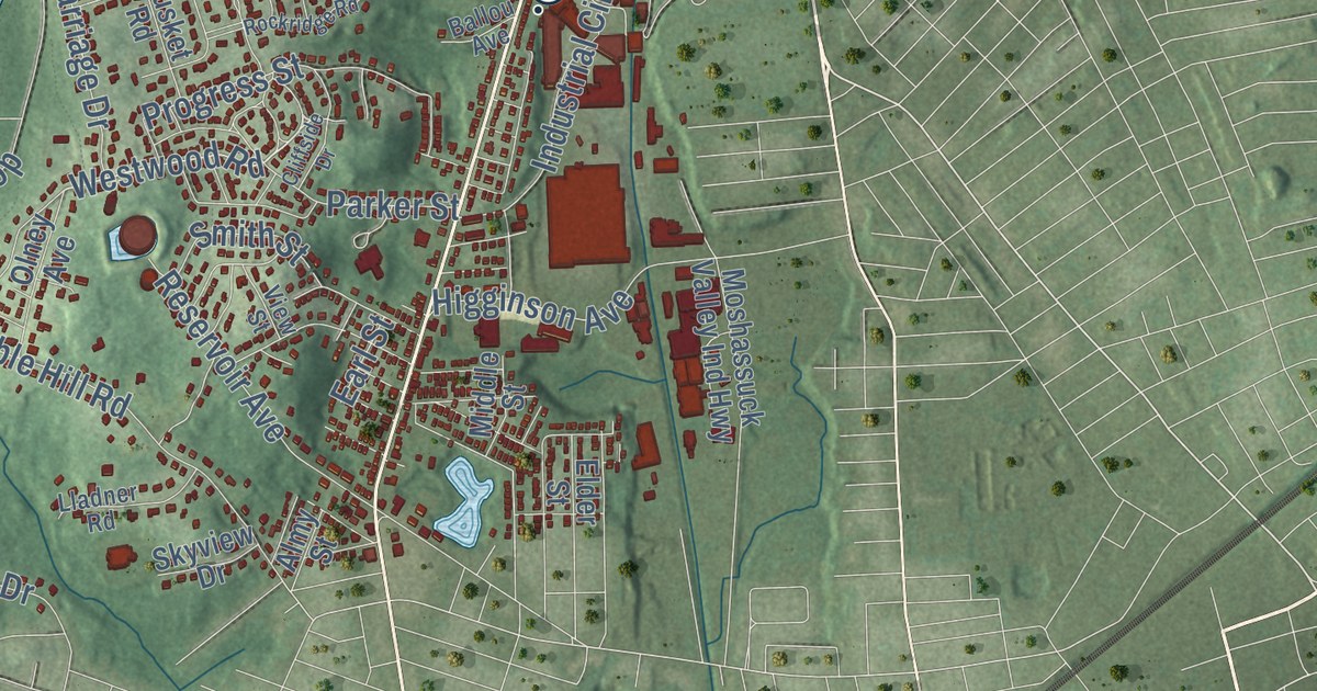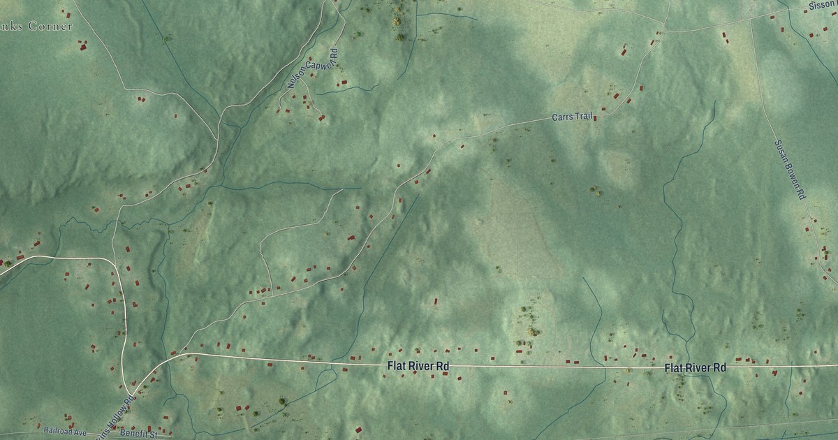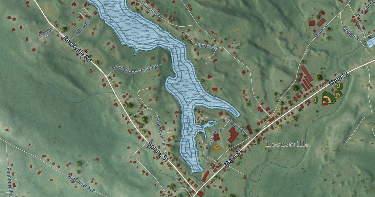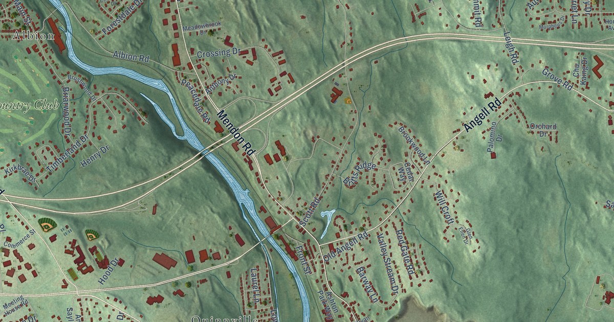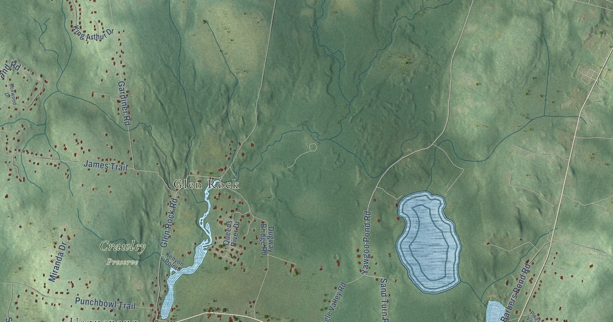
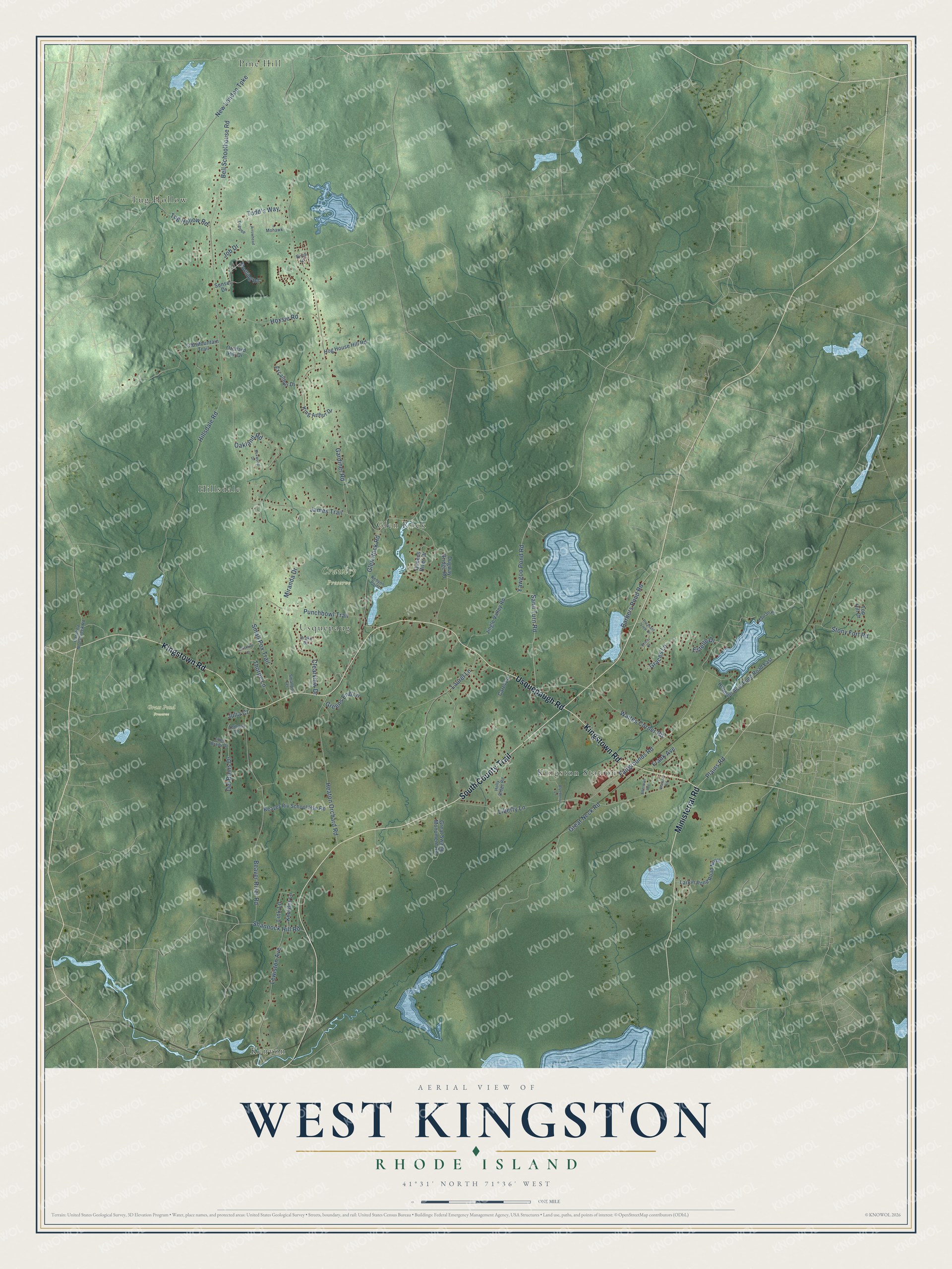
This beautifully detailed map of West Kingston, Rhode Island was created in 2026 using aerial imagery combined with modern topographical, census, street and landmark data. It’s a one-of-a-kind view of West Kingston that combines accurate data with a vintage aesthetic. The map shows every building in its true location, many of the roads carry their names, and the shaded topographic relief shows the shape of the land.
Explore an aerial view of West Kingston, Rhode Island
On the map you’ll find Crawley Preserve, Grass Pond Preserve, Pine Hill, Kenyon, Tug Hollow, Kingston Station, Hillsdale, Glen Rock, and Usquepaug, along with South County Trail, Kingstown Road, Usquepaugh Road, and more. If you look closely you can even find your house accurately drawn in its correct location. Zoom in on the preview to look for yours.
Did You Know?
From Internet Archive: "On Saturday, June ninth, the first inter-class track meet ever held by the Athletic Association of the college took place at the fair grounds at West Kingston."
West Kingston is a community in Washington County.
Take a closer look at the West Kingston map
Names on this map
These names are printed on this map.
Places: Crawley Preserve, Grass Pond Preserve, Pine Hill, Kenyon, Tug Hollow, Kingston Station, Hillsdale, Glen Rock and Usquepaug.
Streets and roads: South County Trail, Kingstown Road, Usquepaugh Road, Ministerial Road, Sand Turn Road, Yawgoo Pond Road, Todd's Way, Plains Road, Waites Corner Road, Glen Rock Road, Hillsdale Road, Gardiner Road.
More street names, A to Z
Anthony Drive, Arrowhead, Barbers Pond Road, Beaver River Road, Beaver Riv School Hse Road, Bell Schoolhouse Road, Birch Drive, Blueberry Lane, Boxwood Drive, Carolina Nooseneck Road, Carrs Lane, Clearview Drive, Del Bonis Drive, Drake Drive, Dugway Bridge Road, Ellen Brady Drive, Erica Court, Estelle Drive, Excalibur Drive, Fairgrounds Road, Frank Avenue, Graces Lane, Great Neck Road, Great Swamp Monument Road, Greens End Lane, Gristmill Lane, Heaton Orchard Road, Hog House Hill Road, Holly Ridge Road, Hoxsie Road, Hundred Acre Pond Road East, James Trail, Jingle Valley Road, Job Drive, Julia Court, Kenyon Point, King Arthur Drive, Knowles Lane, Larkin Pond Road North, Laurel Lane, Lewiston Avenue, Liberty Lane, Link Lane, Mauran Place, Miranda Drive, Mohawk, Morning Road, New London Turnpike, Oakland Road, Old Mountain Trail, Orchard Hill Drive, Pleasant View Drive, Punchbowl Trail, Queens River Drive, Shannock Hill Road, Sherman Avenue, Smallpox Terrace, Small Pox Trail, Stony Fort Road, Sunset Drive, Teepee, Thorpe Lane, Top Hill Drive, Tug Hollow Road, Watson Road.
See it on a wall
The West Kingston map as a framed print. Swipe for more.


This beautifully detailed map of West Kingston makes an attractive addition to your office, library, or den, and it can even be used to teach children the geography and history of the area. It also makes a great gift for someone who left West Kingston and still calls it home. When you’re done exploring, click here to get your copy of the West Kingston map.