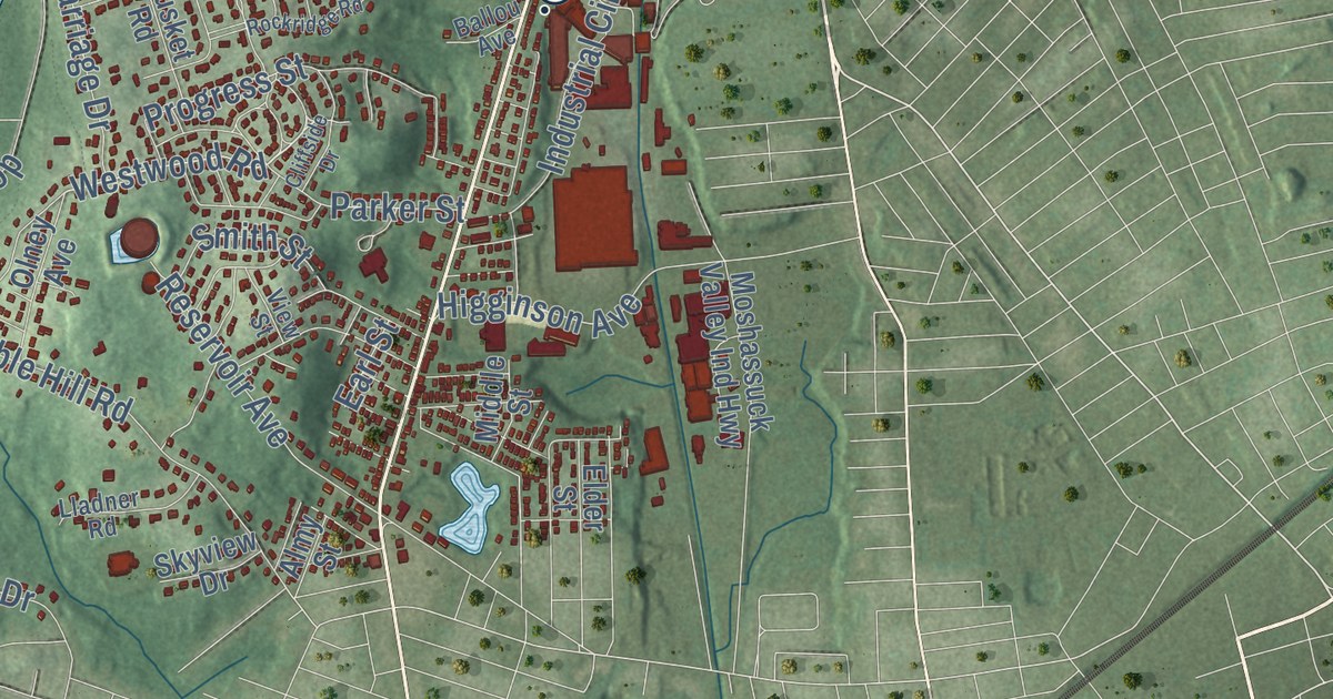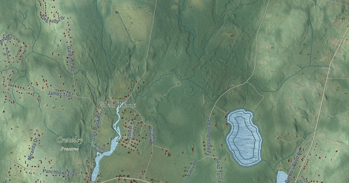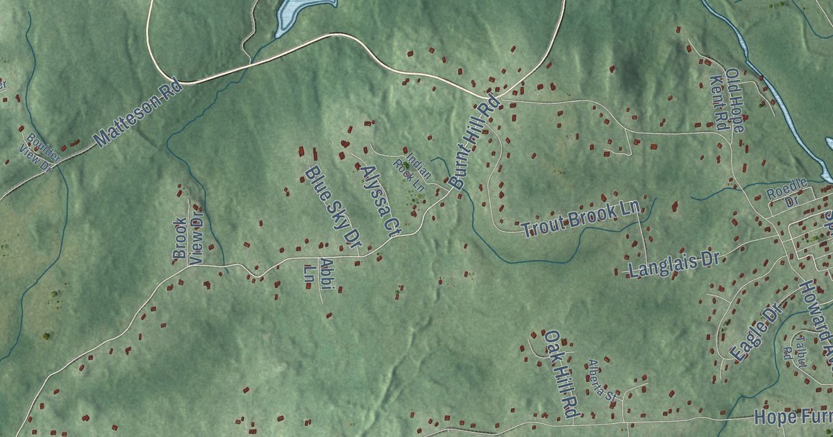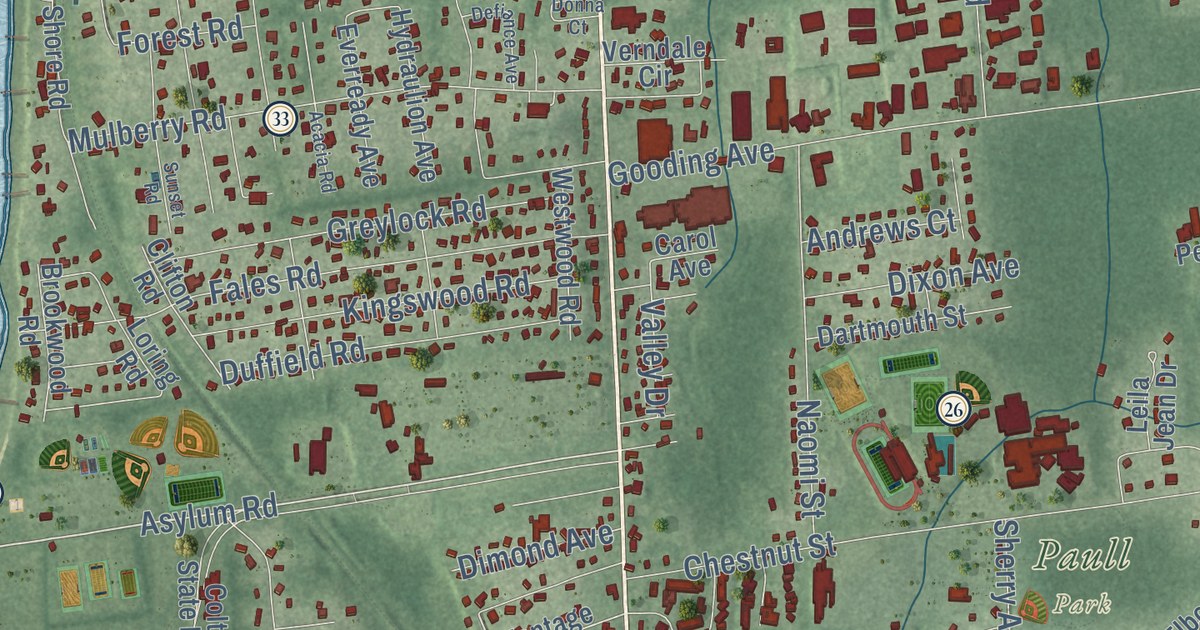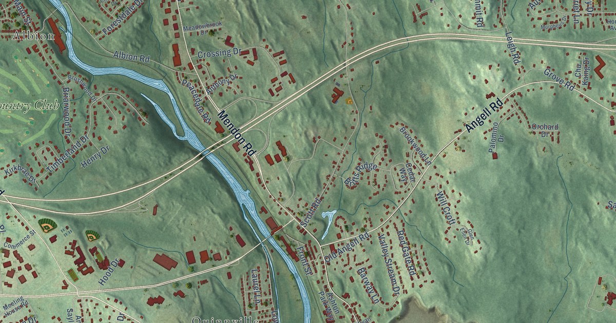
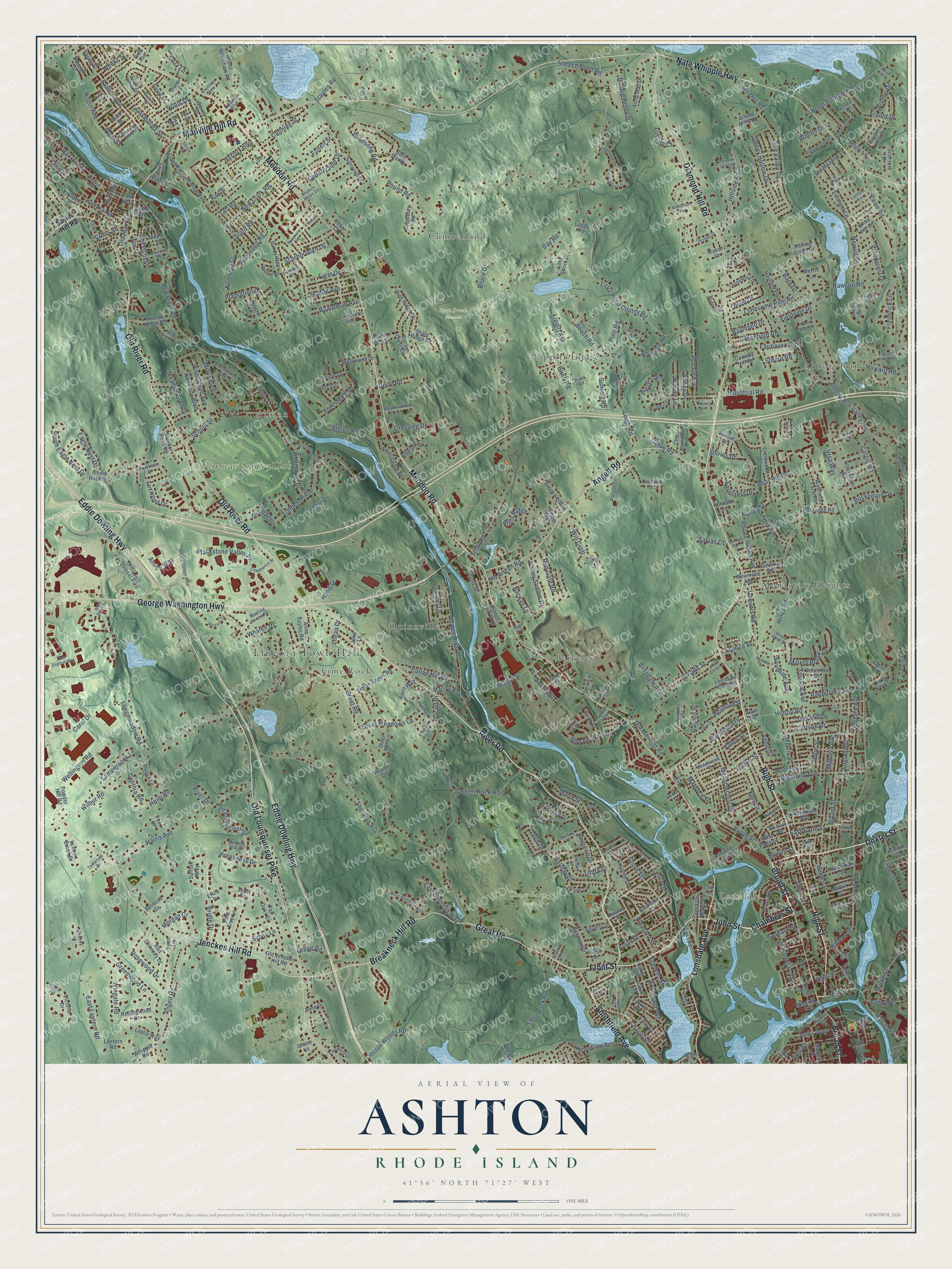
This beautifully detailed map of Ashton, Rhode Island was created in 2026 using aerial imagery combined with modern topographical, census, street and landmark data. It’s a one-of-a-kind view of Ashton that combines accurate data with a vintage aesthetic. The map shows every building in its true location, many of the roads carry their names, and the shaded topographic relief shows the shape of the land.
Explore an aerial view of Ashton, Rhode Island
On the map you’ll find Lincoln Town Hall, Lonsdale, Chase Farm Park, Scott Brook Preserve, Abbott Run, Monastery Heights, Albion, Berkeley, Cumberland, Lippitt Estate, Lime Rock, Quinnville, and more. If you look closely you can even find your house accurately drawn in its correct location. Zoom in on the preview to look for yours.
Did You Know?
From Internet Archive: "The family came originally from Ashton-under-Lyne, near Manchester, England, and settled in Philadelphia in 1695."
Ashton is a community in Providence County.
Take a closer look at the Ashton map
Names on this map
These names are printed on this map.
Places: Lincoln Town Hall, Lonsdale, Chase Farm Park, Scott Brook Preserve, Abbott Run, Monastery Heights, Albion, Berkeley, Cumberland, Lippitt Estate, Lime Rock, Quinnville and Kirkbrae Country Club.
Streets and roads: Old River Road, River Road, High Street, Front Street, Great Road, Dexter Street, Broad Street, John Street, Diamond Hill Road, Old Louisquisset Pike, Breakneck Hill Road, Mendon Road.
More street names, A to Z
Abbey Drive, Abbott Run Valley Road, Academy Drive, Adams Street, Alan Avenue, Alaska Street, Albion Road, Alern Way, Allan Drive, Alyssa Lane, America Street, Amherst Street, Amica Center Boulevard, Amica Way, Andrews Drive, Angell Road, Angle Street, Anna Mac Drive, Ann and Hope Way, Anna Sayles Road, Anne Drive, Anthony Drive, Apache Lane, Arnold Drive, Arnold Mills Road, Arnold Street, Ashley Drive, Ashton Park Way, Aurora Drive, Avalon Place, Barn Drive, Barway Lane, Bayberry Hill Drive, Beach Road, Beachwood Drive, Bear Hill Road, Bell Street, Belmont Drive, Berm Drive, Bernon Drive, Beverly Drive, Billington Circle, Birch Road, Bishop Drive, Blacksmith Road, Blackstone Valley Place, Blissdale Avenue, Boardman Avenue, Bonnie Brook Drive, Boulevard Avenue, Bourque Road, Bouvier Avenue, Bowen Street, Boxwood Road, Boyle Avenue, Branch Avenue, Branch Street, Briarwood Drive, Bridle Drive, Britts Ridge, Brookside Drive, Brookwood Lane, Brown Street, Bruce Drive, Brushwood Drive, Bryant Street, Buckboard Drive, Cabot Street, Cadoret Drive, Canning Street, Cargill Road, Carlson Drive, Carl Street, Carol Drive, Carpenter Street, Cass Street, Cedar Way, Central Street, Chambers Street, Chapel Street, Chase Lane, Chase Street, Chestnut Street, Christina Gene Circle, Chu Kaing Drive, Church Street, Cider Court, Cider Mill Lane, Circledale Drive, Circuit Drive, Citizen Street, Clark Road, Clark Street, Colonial Avenue, Colonial Drive, Columbia Drive, Commerce Street, Cook Street, Cooper Drive, Corys Lane, Country Hill Road, Countryside Drive, Cozy Lane, Cray Street, Crepeau Boulevard, Crestwood Court, Crossing Drive, Cross Street, Crowell Street, Cullen Hill Road, Curran Brook Court, Curran Road, Cynthia Road, Dade Road, David Drive, David Street, Day Road, Denson Road, Desmarais Street, Dexter Rock Road, Dexter Rock Way, Doire Road, Dorr Street, Ducarl Drive, Duchess Road, Duke Road, Duxbury Court, Eagle Nest Drive, East Butterfly Way, East Earle Street, East Lantern Road, Eastward Drive, Eddie Dowling Highway, Eddy Street, Edelweiss Avenue, Edison Road, Elbow Rock Road, Elm Street, Elmwood Drive, Emmett Lane, England Street, Erica Drive, Fairhaven Road, Fair Oaks Drive, Fairview Avenue, Fairway Drive, Falstaff Drive, Farm Drive, Ferncrest Drive, Fieldside Drive, Flat Street, Follett Street, Forest Avenue, Forestdale Drive, Forest View Drive, Foxwood Drive, Foxx Drive, Franklin Street, Frederick Lane, Garden Street, Geldard Street, George Washington Highway, Girard Road, Glen Ellen Drive, Gold Star Drive, Gousy Street, Grandview Avenue, Great Meadows Lane, Greenfield Road, Greenwood Lane, Grove Road, Grove Street, Hadde Avenue, Hadwin Street, Hardwick Street, Harriet Lane, Harris Avenue, Harrison Street, Hatch Street, Havens Street, Hayfield Lane, Heidi Road, Henry Drive, Heroux Boulevard, Hewes Street, Highland Avenue, High Ridge Drive, Hill Farm Lane, Hillside Road, Hilltop Road, Hines Farm Drive, Hines Road, Holiday Court, Holiday Drive, Holly Lane, Home Avenue, Hood Drive, Hope Street, Houtman Avenue, Howard Road, Hunter Drive, Hunt Street, Industrial Road, Ingraham Street, Intervale Drive, Iroquois Road, Jake Lane, James Street, Jenckes Hill Road, Jenks Avenue, Jones Street, Katie Lane, Kay Street, Keane Street, Kennedy Boulevard, Kennedy Court, Kent Street, Kilburn Avenue, Kings Row, Kirkbrae Drive, Lake Shore Drive, Lake Street, Lambert Avenue, Lampercock Lane, Lantern Brook Drive, Lantern Lane, Lantern Road, Laurel Lane, Lawrence Lane, Leddy Road, Ledge Road, Leicester Drive, Leigh Road, Lenox Street, Leslie Way, Lincoln Avenue, Lincoln Woods Road, Linda Street, Lippitt Avenue, Lise Drive, Little Pond County Road, Logan Drive, Lonesome Pine Road, Longbrook Drive, Longmeadow Road, Lonsdale Avenue, Lonsdale Farm Road, Lonsdale Main Street, Louise Luther Drive, Lower River Road, Lower Road, Lynch Place, Lynn Lane, Macondray Avenue, Madeira Avenue, Main Street, Manville Avenue, Manville Hill Road, Maple Street, Maria Street, Marshall Avenue, Martin Street, Martins Way, Mashie Road, Mason Drive, Maybury Street, McGirr Street, Meader Pond Road, Meadow Avenue, Meadowbrook Drive, Meadowcrest Drive, Meadow Glen Drive, Meehan Lane, Meeting House Road, Meeting Street, Melrose Street, Merrill Lane, Millers Brook Drive, Mill Street, Minerva Avenue, Mitris Boulevard, Morgan Court, Morning Glory Road, Morning Star Court, Morpheus Drive, Morris Street, Mount Pleasant View Avenue, Murphy Drive, Mussey Brook Road, Myrtle Street, Nate Whipple Highway, New Clark Road, Newell Drive, New England Way, New River Road, New York Avenue, Nixon Street, North Attleboro Road, North Garden Street, Oak Hill Drive, Oakledge Road, Oakwood Avenue, Old Angell Road, Old Jenckes Hill Road, Old Louis Quisset Pike, Old Main Street, Old Meadow Lane, Old Mendon Road, Olive Street, Orchard Drive, Owen Drive, Paine Road, Palomino Drive, Park Way, Paul Street, Peacedale Road, Pine Grove Avenue, Pine Road, Pine Tree Lane, Plantation Drive, Plant Street, Pleasant Street, Poisson Street, Pollett Street, Pound Road, Powder Hill Road, Preakness Drive, Prospect Street, Quaker Road, Rabbitt Hill Road, Railroad Street, Ralco Way, Rawson Road, Raymond Drive, Realm Court, Red Brook Crossing, Red Chimney Drive, Red Gate Road, Rhode Island Avenue, Ridgeland Drive, River Bank Drive, Riverside Drive, River Street, Rivet Drive, Robin Avenue, Rocky Crest Road, Rockyroad Avenue, Roland Street, Rolling Green Drive, Rollingwood Drive, Ronald Avenue, Roosevelt Road, Rose Lane, Rosemere Road, Rosewood Drive, Royal Court, Ruth Street, Ryan Avenue, Salvas Court, Sandy Way, Sayles Hill Road, Scarborough Drive, School Street, Scott Drive, Scott Road, Seneca Street, Shady Brook Circle, Shaken Acres Drive, Shale Ridge Court, Sharon Drive, Sheldon Street, Shelter Lane, Sherman Avenue, Shirley Drive, Silo Drive, Simon Sayles Road, Sir Charles Road, Sleepy Hollow Drive, Smithfield Avenue, Sneech Pond Road, Sonny Drive, Southbury Road, South Eagle Nest Drive, Spring Street, Staples Road, Star Lane, Steere Road, Stream View Drive, Stump Hill Road, Suffolk Way, Summer Street, Summit Road, Sunnyside Drive, Sunset Avenue, Sun Valley Drive, Sunview Street, Sylvia Lane, Table Rock Road, Taft Road, Tanglewood Drive, Tattersall Drive, Terrace Avenue, Thomas Drive, Timberland Drive, Tingley Drive, Titus Street, Tower Flagg Drive, Tucker Street, Tuscan Court, Ursa Way, Valley Stream Drive, Valley Street, Valley View Drive, Victoria Drive, Victory Street, View Avenue, Vincent Way, Vineyard Avenue, Vista Drive, Wake Robin Road, Walcott Lane, Walker Street, Walnut Street, Waterman Farm Road, Waterman Street, Waumsett Avenue, Wayne Drive, Weeks Street, Wellington Road, Westbrook Way, West Butterfly Way, West Earle Street, Westwood Drive, West Wrentham Road, Whalen Drive, Whipple Road, White Hill Lane, White Pine Drive, Whitney Drive, Wilbur Road, Will Croft, Willis Drive, Windsong Road, Wingate Road, Winsor Street, Wollen Drive, Woodcrest Drive, Woodland Street, Woodside Avenue.
See it on a wall
The Ashton map as a framed print. Swipe for more.


This beautifully detailed map of Ashton makes an attractive addition to your office, library, or den, and it can even be used to teach children the geography and history of the area. It also makes a great gift for anyone who grew up in Ashton or moved away. When you’re done exploring, click here to get your copy of the Ashton map.