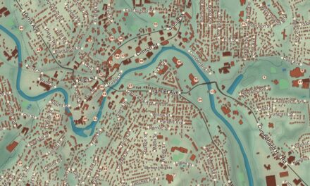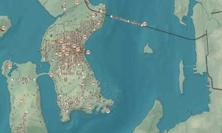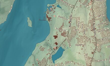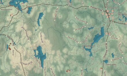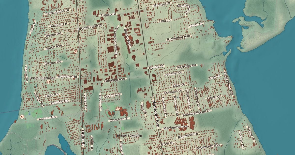
Bristol fills a peninsula with Narragansett Bay on its west and Mount Hope Bay on its east, with Bristol Harbor on the west side of town. This map prints Colt State Park, the Poppasquash Farms Historic District, Poppasquash Road, Mount Hope Farm, the Mount Hope Bridge, the Bristol Ferry Lighthouse and the Bristol Waterfront Historic District.
Bristol is in Bristol County, and it’s the county seat.
KNOWOL made this map in 2026 from public survey records and gave it the look of an old atlas. The shaded relief around Mount Hope Farm and Colt State Park comes from United States Geological Survey elevation data, and the high ground at the top of it all is Mount Hope, 209 feet, the highest point in Bristol County. The streets come from Census Bureau files, down to Poppasquash Road, and the Census Bureau counts 10.1 square miles of land and 10.5 of water in the town. The Bristol Waterfront Historic District and the Poppasquash Farms Historic District are on the National Register of Historic Places, and we checked them against National Park Service records. Bristol had 22,493 people at the 2020 census.
Montaup
Mount Hope takes its name from the Pokanoket word Montaup, and it was the site of a Wampanoag village. Metacomet, known to the English as King Philip, made it his base in the war that carries his name, and Metacom Avenue, one of Bristol’s two main north and south roads, is named for him. After the war, in 1680, four Boston investors bought the 7,000 acres of the Mount Hope Lands, and the town of Bristol grew from them as part of Plymouth Colony, named after Bristol in England. The Crown moved it to Rhode Island in 1747. In 2024 Brown University announced that it was giving 255 acres of its woodland on Mount Hope to a preservation trust set up by members of the Pokanoket Tribe.
Mount Hope Farm, on Metacom Avenue near the bridge, has been farmed since the 1680s. Its main house was built in stages, the oldest part around 1745, and in 1783 it was bought by William Bradford, who served as Rhode Island’s lieutenant governor and as a United States senator, and the house is still called the Governor Bradford House. Bradford is the man who, in October 1775, rowed out to HMS Rose to negotiate a cease-fire when British ships under Captain Wallace were shelling the town. The farm joined the National Register in 1977, and today it runs as an inn and event site, locally known for its Saturday farmers market, held all year.
The waterfront and the Fourth
The Bristol Waterfront Historic District is the original heart of the town, laid out by its proprietors in 1680. It runs from Bristol Harbor to the east side of Wood Street, north to Washington Street and south to Walker Cove, and it takes in the Town Common. Its page calls it one of the few planned communities in the state and the only one of such great age, and it notes that its 19th-century buildings are especially strong in the work of Russell Warren, a Bristol native. The Bristol County Courthouse, the Bristol County Jail and the Customshouse and Post Office stand within it. Until 1854 Bristol was one of Rhode Island’s five state capitals. In the 19th century a community of free Black families known as New Goree lived along the northern part of Wood Street, from at least 1805; two of its modest homes were identified in 2023.
Then there’s the Fourth of July. The Reverend Henry Wight of the First Congregational Church, a Revolutionary War veteran, started the Patriotic Exercises in 1785, and the town page calls Bristol’s festivities the oldest continuously celebrated Independence Day festivities in the United States. They begin on Flag Day, June 14, with concerts, soapbox races and a firefighters’ muster at Independence Park, and they end on July 4 with the Military, Civic and Firemen’s Parade, which draws over 200,000 people and has given Bristol its nickname, “America’s most patriotic town.”
Boats matter here too. Bristol’s harbor holds over 800 moorings, and boatbuilding is one of its major industries. The Herreshoff Manufacturing Company, which built sailing yachts in Bristol from 1878 to 1945, turned out eight America’s Cup defenders, and the Herreshoff Marine Museum now keeps more than sixty boats on the grounds where the company stood.
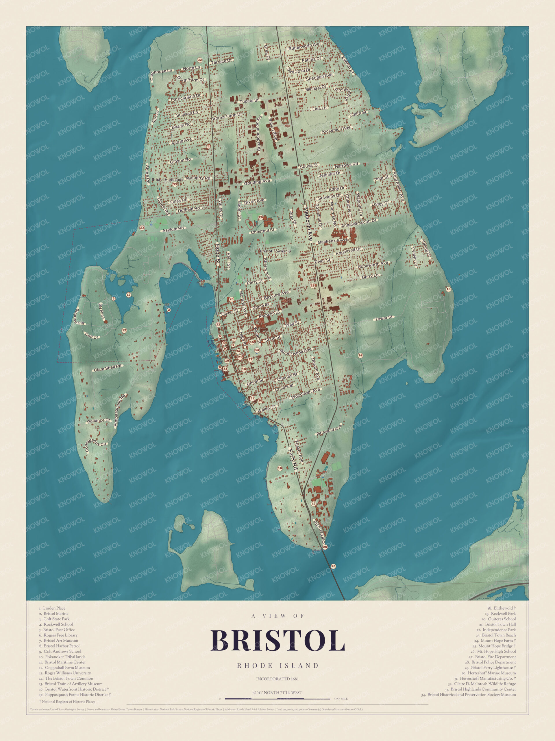
Click to explore a larger preview. The digital watermark does not appear on printed maps.
Names on this map
These names are printed on this map.
Places: Bristol Highlands, Bristol Harbor and Mount Hope.
Streets and roads: Farm Dr, Patricia Ann Dr, Beach Rd, Fales Rd, Worth Ave, Narrows Rd, Tupelo St, Smith St, Platt St, Metacom Ave, Reliance Dr, Colt Dr.
More street names, A to Z
Annawamscutt Dr, Berry Ln, Griswold Ave, Mackenzie Ave, Paull St.
Poppasquash Neck
Colt State Park covers 464 acres on Poppasquash Neck. It was the farm of Samuel P. Colt, nephew of the firearms maker Samuel Colt and the founder of the United States Rubber Company. Starting in 1905 he bought up the Chase, Church and Van Wickle farms and built a stone barn for a prize herd of Jersey cattle, and the barn survives. Two bronze bulls, Conrad and Pomeroy, have guarded the main gate on Hope Street since 1913, under the words “Colt Farm. Private Property, Public Welcome.” Colt’s will kept the farm open to the public after his death in 1921, the state took it over in 1965, and Governor John Chafee dedicated it as Colt State Park on August 21, 1968. Today it has trails, picnic groves, boat ramps and an open-air Chapel-by-the-Sea, and the East Bay Bike Path stops there on its way to its southern end at Independence Park.
The Poppasquash Farms Historic District, listed in 1980, takes in most of the park and about 50 acres of private land on the northern half of the neck, with Greek Revival and Colonial houses. Inside the park, the Coggeshall Farm Museum works 48 acres as an 18th-century coastal tenant farm and shows farm life in the year 1799. Wilbur and Eliza Coggeshall farmed here in the early 1800s, and their son Chandler helped found what’s now the University of Rhode Island in 1888.
Bristol Point
At Bristol Point, on Narragansett Bay at the base of the Mount Hope Bridge, the Bristol Ferry Lighthouse went up in 1855, a square brick tower with a brick keeper’s house. It helped the ferry that crossed to Aquidneck Island, and its light was turned off in 1927 when work on the Mount Hope Bridge began. Robinson and Steinman designed the bridge, and it opened on October 24, 1929, with towers 285 feet tall and a main span of 1,200 feet. Its page says it was the longest suspension bridge in New England for 40 years. Both are on the National Register, the bridge since 1976 and the lighthouse since 1988. Bristol Highlands and Bristol Township are printed on the map too, and so is the Bristol Art Museum.
This map of Bristol makes a fine piece for an office, library or den, and it can help teach children the geography and history of a harbor town between two bays, with a Fourth of July that goes back to 1785. KNOWOL made it in 2026 for people who call Bristol home, from Bristol Highlands to Bristol Point, and it shows the town as it looks today. Zoom in on the preview above to explore the details, then click here to get your copy of the Bristol map.

Sources
- Bristol, Rhode Island, Wikipedia
- Mount Hope (Rhode Island), Wikipedia
- Mount Hope Farm, Wikipedia
- Bristol Waterfront Historic District, Wikipedia
- Bristol Fourth of July Parade, Wikipedia
- Herreshoff Marine Museum, Wikipedia
- Colt State Park, Wikipedia
- Poppasquash Farms Historic District, Wikipedia
- Coggeshall Farm Museum, Wikipedia
- Bristol Ferry Light, Wikipedia
- Mount Hope Bridge, Wikipedia