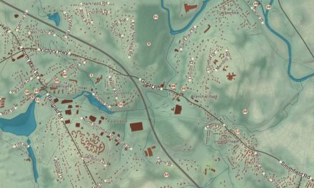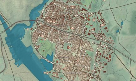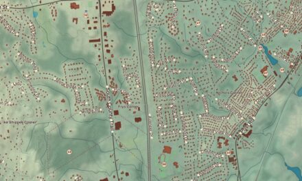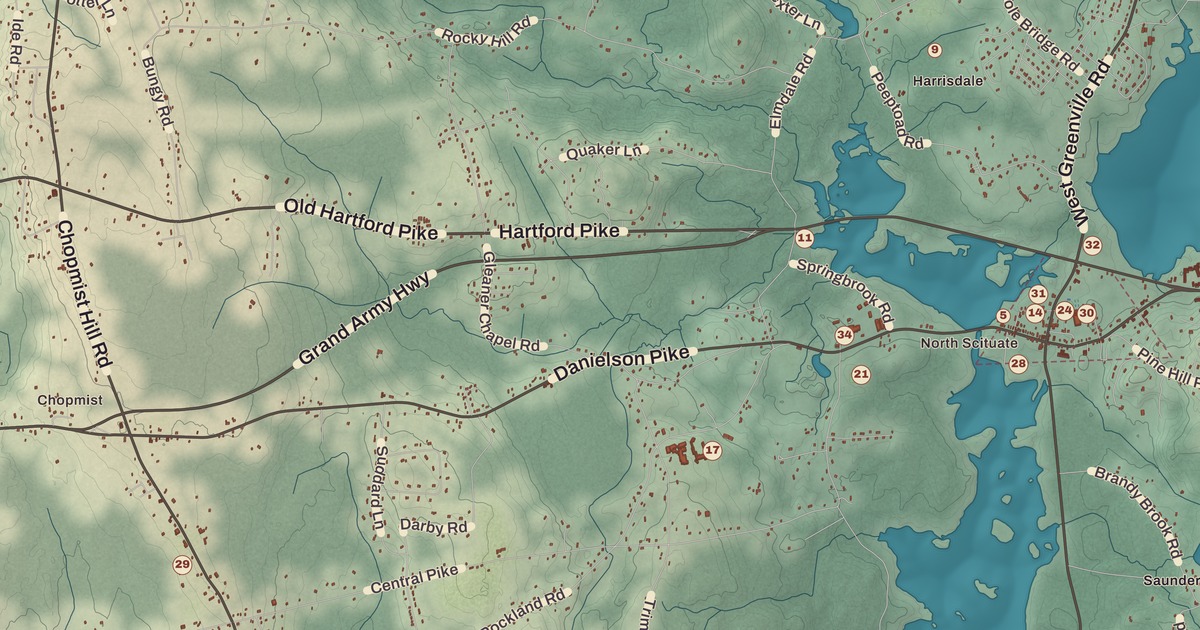
Every Columbus Day weekend, North Scituate fills with painters, potters and crowds for the Scituate Art Festival. This map of Scituate prints North Scituate and Hope, the Hope Village Historic District and the Clayville Historic District, Hope Pond Beach and Hope Park, the North Scituate Public Library, the Amos Cooke House, the Battey-Barden House, the Andrews-Luther Farm and Fire Lane.
Scituate is in Providence County, west of Providence, around the Scituate Reservoir.
KNOWOL made this map in 2026 from public survey records and gave it the look of an old atlas. The shaded relief around Hope Pond Beach and Hope Park comes from United States Geological Survey elevation data. The streets come from Census Bureau files, down to Fire Lane, and the Census Bureau puts the town at 54.8 square miles, 6.1 of them water. The Amos Cooke House and the Battey-Barden House are on the National Register of Historic Places, and we checked them against National Park Service records. Scituate had 10,384 people at the 2020 census.
Cold brook
People from Scituate, Massachusetts, settled here in 1710 and brought the name with them. The town page says it was first spelled “Satuit,” a Native word meaning “cold brook” or “cold river.” Scituate was part of Providence until 1731, and Foster split off as its own town in 1781, taking the western half. At the first town meeting, held at the Angell Tavern in South Scituate, the voters chose Stephen Hopkins as moderator; he went on to be governor of Rhode Island and to sign the Declaration of Independence, and his brother Esek Hopkins became commander in chief of the Continental Navy in 1776. In 1791 the U.S. Supreme Court decided its first case, West v. Barnes, and it concerned a farm in Scituate.
The town was once a string of small villages, among them North Scituate, Hope, Clayville, Fiskeville, Kent, Ponaganset, Rockland and South Scituate. In 1915 the General Assembly voted to take 14,800 acres, 38 percent of the town, for a reservoir to supply greater Providence, and several of those villages were lost under the water or cleared from the land around it. Water storage began on November 10, 1925. The town page calls the Scituate Reservoir the largest artificial freshwater body in Rhode Island, and with its six tributary reservoirs it supplies drinking water to more than 60 percent of the state’s people. Its treatment plant was among the most advanced of its day, and the town page says it’s still the largest treatment facility in New England.
North Scituate
North Scituate, also called Smithville-North Scituate, has kept much of its 19th century along Danielson Pike and West Greenville Road, and that historic district joined the National Register in 1979. The Old Congregational Church on Greenville Road was designed by Clark Sayles; it was given to the town in 1940, and the Scituate Art Festival, held every autumn on its grounds since 1967, was started to raise money to restore its interior. Today the festival draws over 300 artists and craftspeople, and the town page puts the crowds at 200,000 to 350,000 a weekend. On a knoll above Lake Moswansicut stood the Smithville Seminary, a Freewill Baptist school founded in 1839 and renamed the Lapham Institute in 1863; Henry Barnard held his first Rhode Island Teachers Institute there in 1845. Its pupils included James Burrill Angell, who led the University of Michigan and the University of Vermont, and the astronomer Lewis Boss. The Greek Revival buildings became the Scituate Commons apartments on Institute Lane.
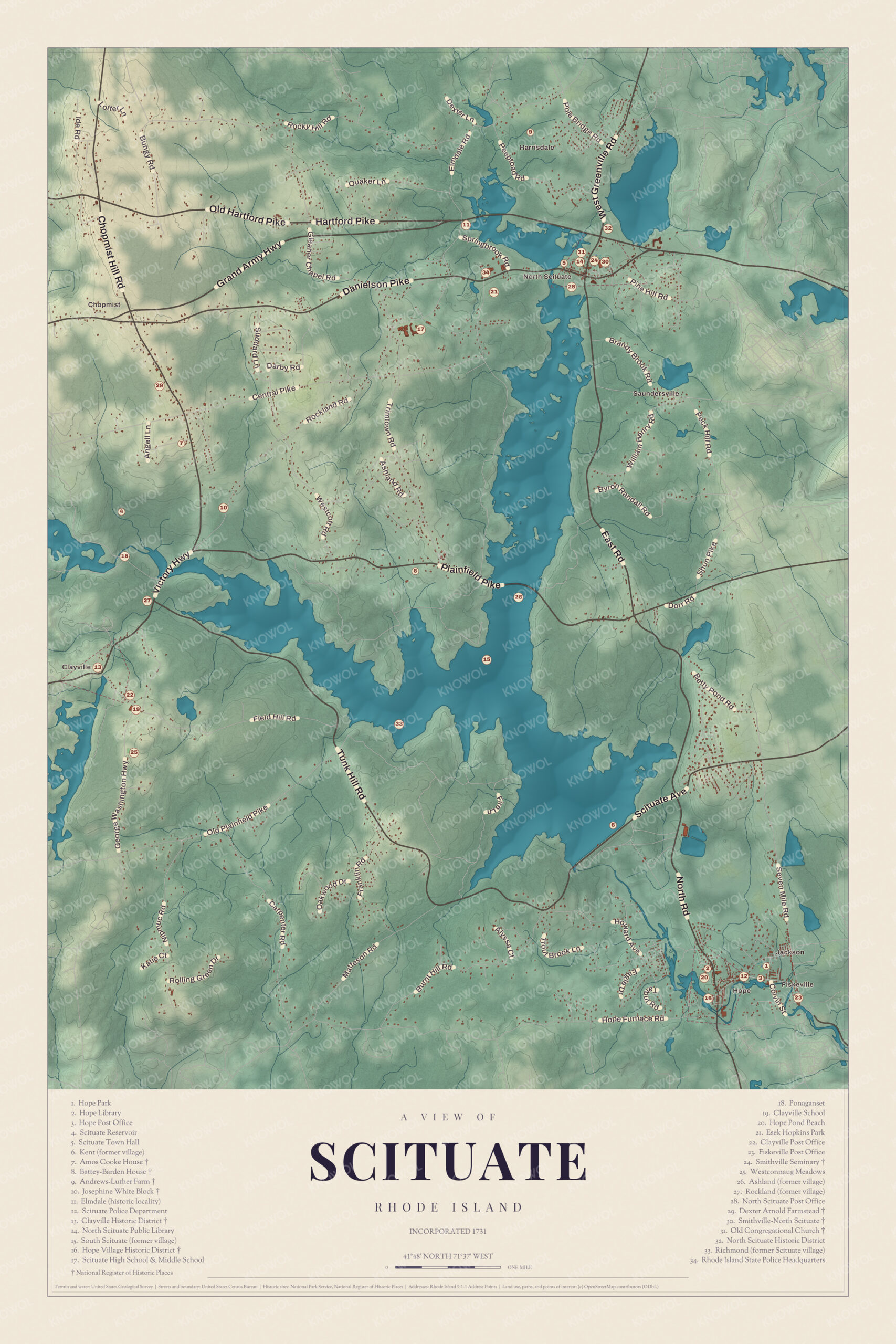
Click to explore a larger preview. The digital watermark does not appear on printed maps.
Names on this map
These names are printed on this map.
Places: North Scituate, Hope, Clayville, Jackson, Fiskeville, Harrisdale, Saundersville, Scituate Reservoir, Chopmist Hill and Field Hill.
Streets and roads: Quaker Ln, Hartford Pike, Ide Rd, Field Hill Rd, Ashland Rd, Victory Hwy, Tunk Hill Rd, William Henry Rd, Shun Pike, Old Plainfield Pike, Washington Hwy, Carpenter Ct.
More street names, A to Z
Hope Furnace Rd.
Hope and Clayville
Hope sits on a bend of the North Branch of the Pawtuxet River in the southeast corner of town. Iron ore turned up nearby in 1765, and the Hope Furnace was built the next year; it made household goods and pig iron, and during the Revolution it cast cannon for the colony. A wooden cotton mill followed in 1806, and after it burned, the Providence firm of Brown and Ives put up a four-story stone mill in 1844 and built houses for its workers, among them thirteen double tenements on Mill Street. The mill wove cloth until 2007. By the early 1880s Hope was a busy village at the end of the Pawtuxet Valley Railroad. The Hope Village Historic District joined the National Register in 1995, and in August 2023 the town voted to tear down the old mill, which had stood neglected for years.
Clayville lies on the Foster line, and the town line runs right through the middle of the Clayville Historic District, 81 acres around the meeting of Plainfield Pike, Field Hill Road and Victory Highway near the mill pond. A dam from about 1847 holds the pond, and the ruins of the mills it powered lie downstream. The Clayville Christian Union Church, built from 1867 to 1871, and the schoolhouse from about 1845 are its notable buildings. The district joined the National Register in 1988.
The farms
Scituate’s old farmhouses are scattered across the map. The Amos Cooke House was built in 1812 by Augustus and Carver Hopkins of the prominent Hopkins family; Amos Cook bought it with its outbuildings in 1865, and it became a summer home in the early 1900s. The Battey-Barden House was probably built around 1824 for Horace Battey, a farmer and shopkeeper, and its page says it’s best known for the stenciling on its inside walls. The Andrews-Luther Farm, on Elmdale Road just east of Harmony Road, keeps 45 acres around a house from about 1768, along with an old corn crib, and Harley Luther’s descendants have kept detailed accounts of it. On Chopmist Hill Road, Dexter Arnold built the Dexter Arnold Farmstead in 1813 on his father’s land, five outbuildings that appear to be close to it in age stand with it, and it stayed in the family until 1975. Up near Chopmist Hill, during World War II, a federal radio monitoring station listened in on German communications, and because of it, the town page says, the Chopmist Hill area was considered in 1946 as a possible home for the headquarters of the United Nations.
This map of Scituate is made for an office, library or den, and it can help teach children the geography and history of a town of old villages around the state’s great reservoir. KNOWOL made it in 2026 for people who call Scituate home, from North Scituate to Hope, and it shows the town as it looks today. Zoom in on the preview above to explore the details, then click here to get your copy of the Scituate map.

Sources
- Scituate, Rhode Island, Wikipedia
- Scituate Reservoir, Wikipedia
- North Scituate, Rhode Island, Wikipedia
- Old Congregational Church (North Scituate, Rhode Island), Wikipedia
- Smithville Seminary, Wikipedia
- Hope Village Historic District, Wikipedia
- Clayville Historic District, Wikipedia
- Amos Cooke House, Wikipedia
- Battey-Barden House, Wikipedia
- Andrews-Luther Farm, Wikipedia
- Dexter Arnold Farmstead, Wikipedia