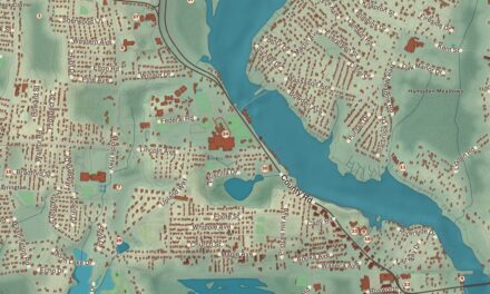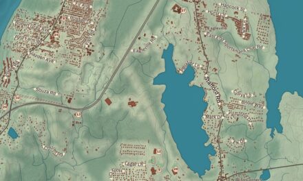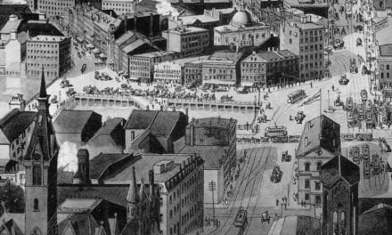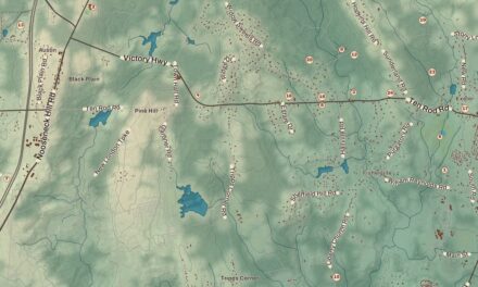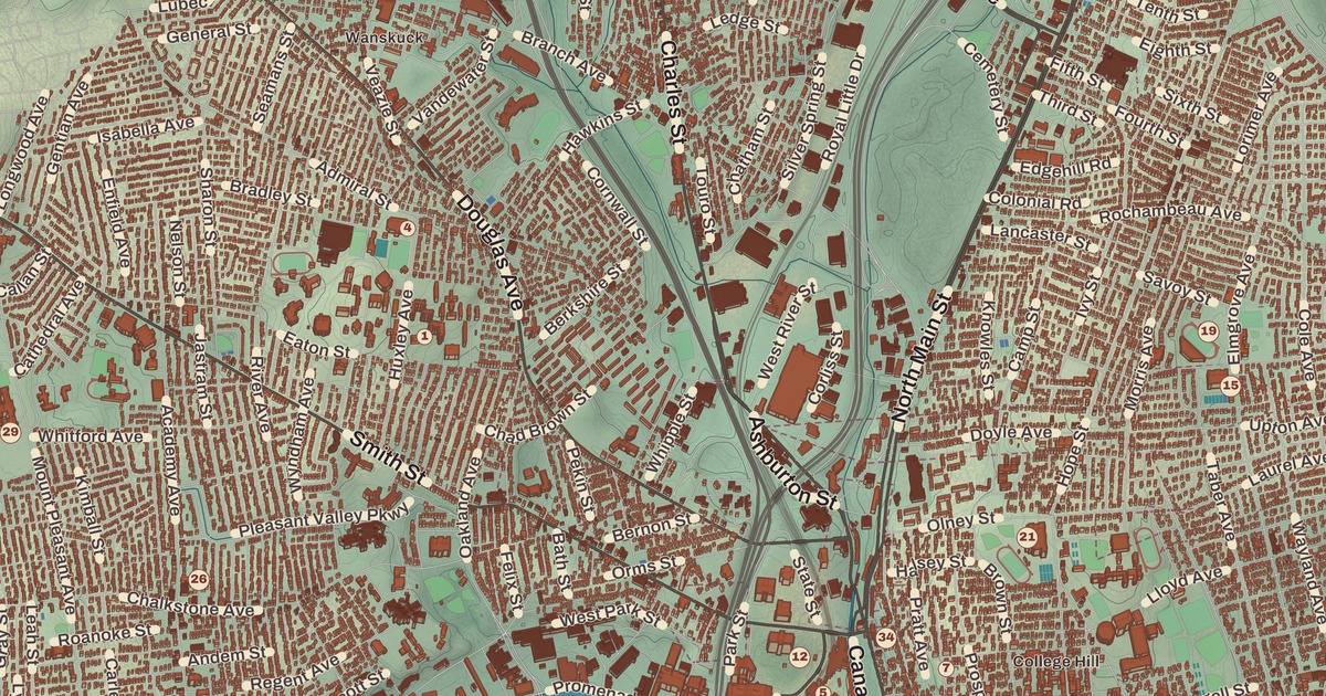
Dinner under the pine cone arch on Atwells Avenue, a walk along Blackstone Boulevard, a Sunday at the zoo in Roger Williams Park: everyone who’s lived in Providence has a few of these. This map of Providence prints Downtown and Federal Hill, Roger Williams Park and the Roger Williams Park Zoo, The Arcade Providence, the Providence Children’s Museum, the John Brown House Museum, the Roger Williams National Memorial and Blackstone Boulevard.
Providence is in Providence County, the county seat and the capital of Rhode Island, at the head of Narragansett Bay.
KNOWOL made this map in 2026 from public survey records and gave it the look of an old atlas. The shaded relief around Roger Williams Park and the Roger Williams Park Zoo comes from United States Geological Survey elevation data. The streets come from Census Bureau files, down to Blackstone Boulevard, and the Census Bureau puts the city at 20.5 square miles, 18.5 of them land. Roger Williams Park and The Arcade Providence are on the National Register of Historic Places, and we checked them against National Park Service records. Providence had 190,934 people at the 2020 census, making it the third-most populous city in New England.
God’s merciful Providence
Roger Williams was a minister in the Massachusetts Bay Colony who argued for keeping church and state apart and spoke against the colonists’ taking of Native land, and for those opinions he was banished. In 1636 he and his companions settled first in what’s now Rumford, then moved down the Seekonk River, around Fox Point and up the Providence River to where the Moshassuck and Woonasquatucket rivers meet. He named the place for “God’s merciful Providence,” which he believed had led them to a refuge. In 1638 the settlers laid out home lots of about six acres each on the east side of the river, running from Towne Street, now South Main Street, up to Hope Street. That same year Williams founded the First Baptist Church in America, and in 1652 Providence limited indentured servitude to ten years, a statute its page calls the first anti-slavery law in the United States, though there’s no evidence it was ever enforced.
The Roger Williams National Memorial keeps 4.5 acres of one of the settlement’s common lots at the foot of College Hill, between North Main, Canal and Smith streets and Park Row, near the Moshassuck. Its northern end holds the site of the spring that drew Williams to the spot, and the visitor center is in the Antram-Gray House of 1736. It joined the National Register in 1966, and until 2014 it was the only unit of the National Park System in Rhode Island.
College Hill and the East Side
Brown University moved to Providence from Warren in 1770, and the city page says the East Side holds the largest contiguous area of buildings on the National Register in the United States, with many houses from before the Revolution. The John Brown House Museum at 52 Power Street, beside the Brown campus, was finished in 1788, and its page calls it the first mansion built in Providence. John Brown, a merchant and statesman who also traded in enslaved people, was an early benefactor of the university, and his brother Joseph designed the house as he had the First Baptist Church. John Quincy Adams called it “the most magnificent and elegant private mansion that I have ever seen on this continent.” The Brown family gave it to the Rhode Island Historical Society in 1942, and it became a National Historic Landmark in 1968.
In the northeast corner of the city, Blackstone Boulevard runs north and south as two roadways split by a landscaped strip. Along its west side, the Blackstone Boulevard Realty Plat Historic District holds more than 100 large houses, most of them built in the late 1920s and early 1930s in Georgian, Tudor and other revival styles by some of the city’s leading architects, and it joined the National Register in 1995.
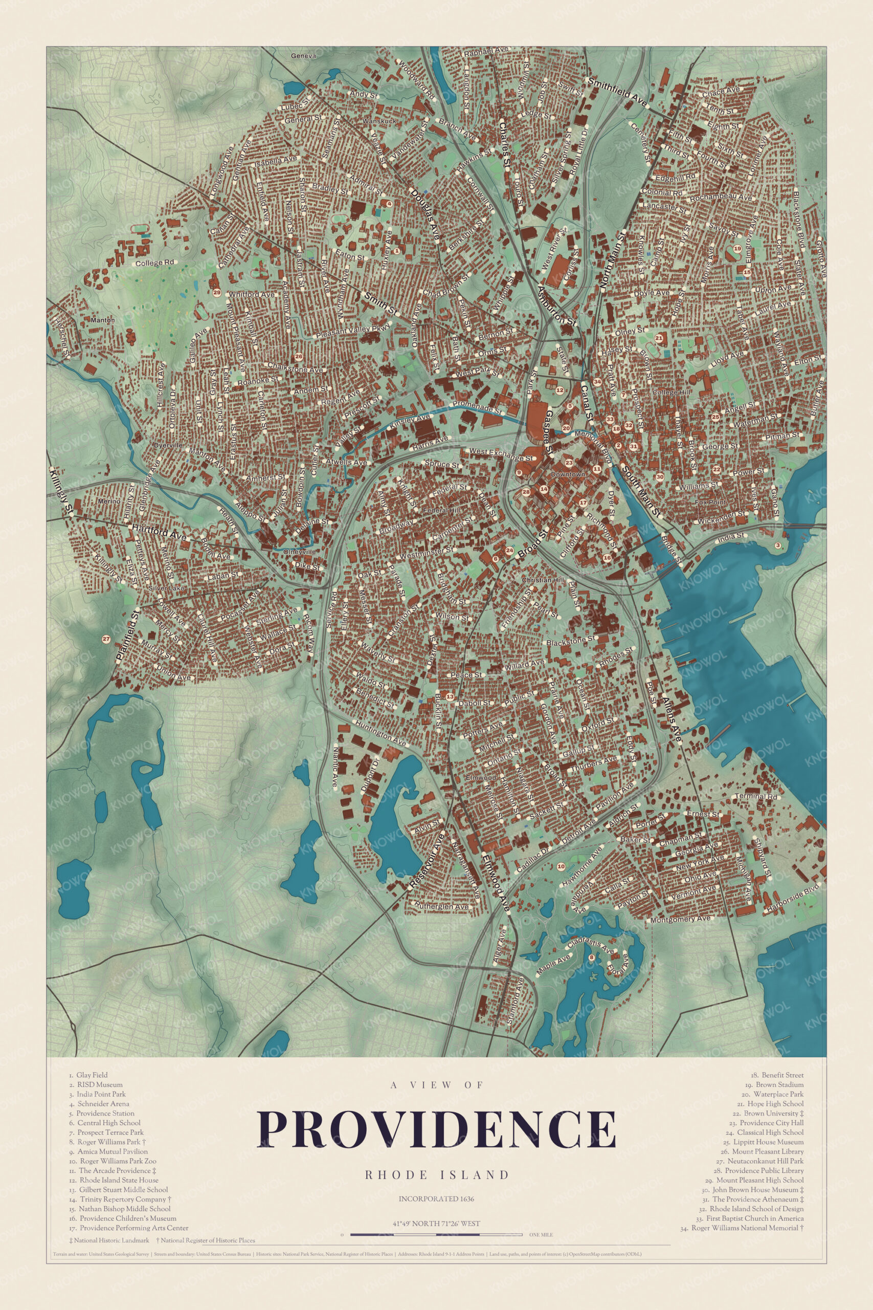
Click to explore a larger preview. The digital watermark does not appear on printed maps.
Names on this map
These names are printed on this map.
Places: Manton, Wanskuck, Merino, Silver Lake and Fox Point.
Streets and roads: College Rd, Whitford Ave, Bella Ave, Smith St, Andem St, Regent Ave, Prescott St, Bay Ave, Raphael Ave, Chace Ave, Hill Rd, Bernon St.
More street names, A to Z
Aldrich St, Alvin St, Angell St, Ashburton St, Atwells Ave, Brown St, Chapman St, Christian Hill Rd, Daboll St, Dupont Dr, Dyer St, Elton St, Ernest St, Exchange St, Federal St, Floyd Ave, George St, Georgia Ave, Gordon Ave, Hawthorne Ave, Hilarity St, Job St, Kinsley Ave, Mitchell St, Montgomery Ave, Niantic Ave, N Main St, Peace St, Pine St, Porter St, Power St, Promenade St, Public St, Richmond St, Royal Little Dr, Shipyard St, Spruce St, Stamford Ave, Touro St, Vermont Ave, Wallace St, Wickenden St, Williams St, Wilson St.
Downtown and Federal Hill
Providence became one of the first cities in the country to industrialize, known for textiles and then for machine tools, jewelry and silverware, and in the 1960s trade magazines called it “the jewelry capital of the world.” Downtown still has many 19th-century commercial buildings. The Arcade Providence, also called the Westminster Arcade, runs between Westminster and Weybosset streets. Cyrus Butler built it in 1828, its Greek temple fronts stand on six great Ionic columns quarried in Johnston and hauled in by oxen, and its page calls it the first enclosed shopping mall in the United States. Shoppers were slow to come at first, and people called it “Butler’s Folly.” It became a National Historic Landmark in 1976 and reopened in 2013 as shops and small apartments. In summer the WaterFire installation lights about 100 bonfires on the three rivers through Downtown.
Federal Hill, just west of Downtown across Interstate 95, got its name from a Fourth of July ox roast held on the plain beside the hill in 1788. Italian families began arriving in the 1870s, and since the late 1800s it’s been the heart of the city’s Italian American community. The gateway arch over Atwells Avenue is one of the best-known landmarks in Providence, and La Pigna, the pine cone hanging from its center, an Italian sign of welcome, has become the symbol of Federal Hill. The Columbus Day parade comes down Atwells Avenue, where the median is painted in the colors of the Italian flag. Down in the Jewelry District, the Providence Children’s Museum opened in 1977 in Pawtucket as the state’s first children’s museum, moved to 100 South Street in 1997, and took the city’s name in thanks for its help with the move. A colorful dragon named Nori sits on a corner of its roof.
Roger Williams Park
Roger Williams Park, 427 acres in the southern end of the city on the Cranston line, was the last of the land the Narragansett sachem Canonicus granted Williams in 1638. Betsey Williams, the last of his descendants to inherit it, left the family farm to the people of Providence in her will in 1872, and her 1773 farmhouse, the Betsey Williams Cottage, still stands in the park with the family burial ground. Horace Cleveland designed the park in 1878. It has seven lakes and holds a natural history museum and planetarium, a botanical center, Japanese and Victorian rose gardens, the Carousel Village and the Temple to Music. In 2000 the National Trust for Historic Preservation called it one of the finest urban parks in the country. The Roger Williams Park Zoo, also founded in 1872, is the third oldest zoo in the nation, its page says, and in 1986 it became the first zoo in New England accredited by the Association of Zoos and Aquariums.
This map of Providence suits an office, library or den, and it can help teach children the geography and history of the city Roger Williams founded. KNOWOL made it in 2026 for people who call Providence home, from Downtown to Federal Hill, and it shows the city as it looks today. Zoom in on the preview above to explore the details, then click here to get your copy of the Providence map.

Sources
- Providence, Rhode Island, Wikipedia
- Roger Williams National Memorial, Wikipedia
- John Brown House (Providence, Rhode Island), Wikipedia
- Blackstone Boulevard Realty Plat Historic District, Wikipedia
- Westminster Arcade, Wikipedia
- Federal Hill, Providence, Rhode Island, Wikipedia
- Providence Children’s Museum, Wikipedia
- Roger Williams Park, Wikipedia
- Roger Williams Park Zoo, Wikipedia