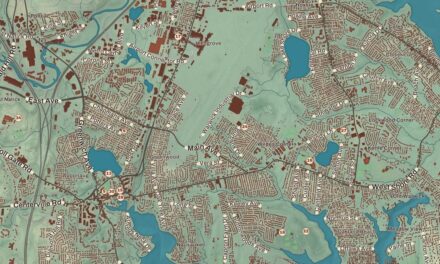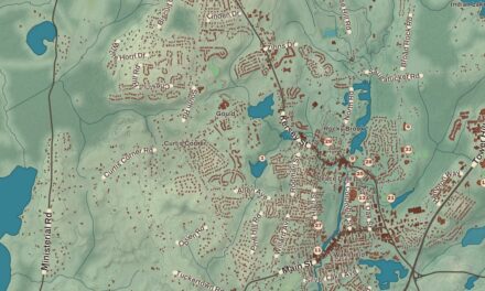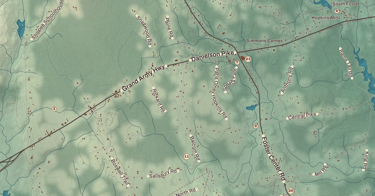
The highest ground in Rhode Island is in Foster, and so is a town house that’s been in use since 1796. This map prints the town’s old villages and farms: Hopkins Mills and the Hopkins Mill Historic District, Moosup Valley and the Moosup Valley Historic District, the Foster Center Historic District, Borders Farm, the Mount Vernon Tavern and the Corner Lunch, with the Thoman Land and Nature Preserve. The George B. Parker Woodland Wildlife Refuge is here too, and so is Central Pike.
Foster is in Providence County, along the Connecticut line on the state’s western edge.
KNOWOL made this map in 2026 from public survey records and gave it the look of an old atlas. The shaded relief around the Thoman Land and Nature Preserve and the George B. Parker Woodland Wildlife Refuge comes from United States Geological Survey elevation data, and it rises in town to Jerimoth Hill, the highest point in the state. The streets come from Census Bureau files, down to Central Pike, and the Census Bureau puts the town at 51.9 square miles, nearly all of it land. The Mount Vernon Tavern is on the National Register of Historic Places, and we checked the town’s Register landmarks against National Park Service records. Foster had 4,469 people at the 2020 census.
West Quanaug
English colonists settled here in the 17th century as farmers. In 1662 William Vaughan, Zachariah Rhodes and Robert Wescott bought a large tract called West Quanaug from the Native people, and it took in nearly the whole southern half of today’s town; the first English settler is said to have been Ezekiel Hopkins. Foster was part of Scituate from 1730, its western section, until it was set off as a town of its own in 1781. It was named for Theodore Foster, one of Rhode Island’s first two United States senators, who lived in the town, gave it a library and helped found the Rhode Island Historical Society in 1822. Some of the library’s original books are still kept. His friend Solomon Drowne, a physician and author, farmed next door at Mount Hygeia, and Nelson Aldrich, the senator whom the town page credits with a key role in starting the Federal Reserve, was born in Foster in 1841.
Foster Center and the Town House
The Foster Center Historic District, listed on the National Register on May 11, 1974, takes in colonial and Greek Revival houses and a town building from the late 1700s that’s still in use. The town page says the Foster Town House, built in 1796 and in use to this day, is the oldest government meeting house of its type in the United States.
Hopkins Mills
The Hopkins Mill Historic District follows Old Danielson Pike between its two meetings with Danielson Pike, US Route 6, and there have been mills here, grist and saw mills at first, since the 18th century. It holds one of Foster’s oldest houses, the Hopkins-Potter House from around 1720, at 21 Old Danielson Pike, along with Curtis Hall, built around 1830 and long a tavern and gathering place, and the Hopkins Falls Union Church, built in 1869-71 with steps of granite from local quarries. The district joined the National Register in 1984, though the Register’s own listing misspells it “Nopkins.”
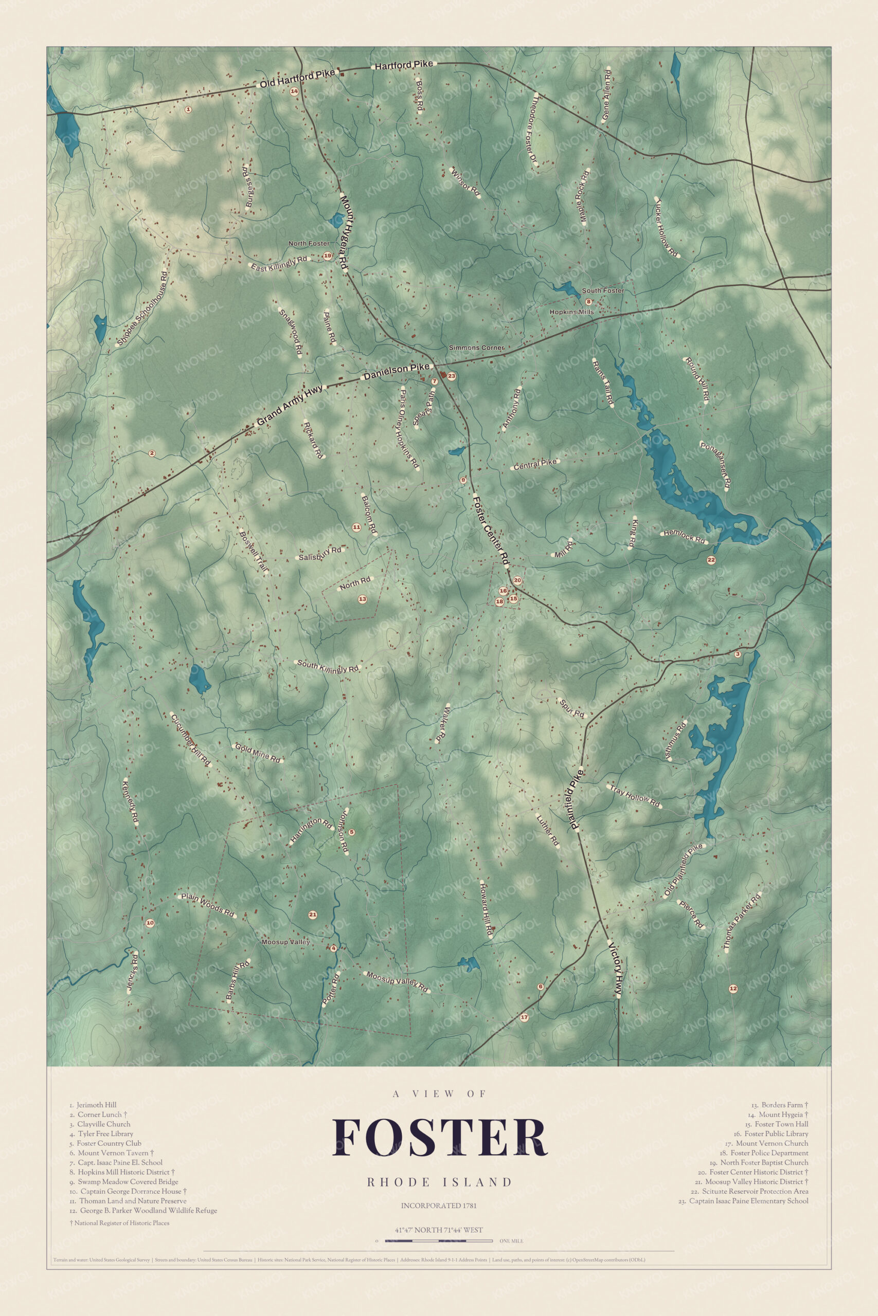
Click to explore a larger preview. The digital watermark does not appear on printed maps.
Names on this map
These names are printed on this map.
Places: Foster Center, Hopkins Mills, Moosup Valley, North Foster, South Foster, Simmons Corner, Mount Hygeia and Cucumber Hill.
Streets and roads: Hartford Pike, Danielson Pike, Shippee Schoolhouse Rd, Snagwood Rd, Winsor Rd, Boss Rd, Round Hill Rd, Killingly Rd, Rickard Rd, Balcom Rd, Hemlock Rd, Walker Rd.
More street names, A to Z
Hanson Rd, Hollow Rd, Jencks Rd, Thomas Parker Rd, Valley Rd, Victory Hwy.
Moosup Valley and the farms
The Moosup Valley Historic District, in western Foster, takes in most of the headwaters of the Moosup River. Its center is a small village where Moosup Valley Road crosses the river, with the Greek Revival Moosup Valley Christian Church, built in 1864-65, the Grange hall from 1926, and a one-room schoolhouse from 1811 that later served as a library and community center. The district joined the National Register in 1988.
Borders Farm, at 31 to 38 North Road, is really two farms of nearly 200 acres together: the George Phillips Farm, with an 18th-century house, and the Allen Hill Farm, with a house from the late 1700s. They belonged to different families for a long time until the Borders family bought both and ran them as one farm in the middle of the 20th century. They joined the National Register in 2009.
The Mount Vernon Tavern, also called the Bank House Tavern, stands at 199 Plainfield Pike. Its main house went up around 1760, and its unusually fancy Federal entrance was probably added in 1814. It’s long been a landmark on the road, a stagecoach stop on what was the main route between Providence and Connecticut, and it joined the National Register in 1974.
Around Foster
Jerimoth Hill, named for the early settler Jerimoth Brown, stands on Route 101 half a mile from the Connecticut line; its page gives it 812 feet and calls it the lowest state high point in New England. Brown University has used it for decades for stargazing away from the lights of Providence, and today a short trail leads hikers to the summit. Foster also has the Swamp Meadow Covered Bridge, built in 1994 by Jed Dixon, a Foster resident, as a copy of an early 19th-century bridge; the town page calls it the only covered bridge in Rhode Island on a public road. The Coventry town page describes the George B. Parker woodland as 860 acres owned by the Audubon Society of Rhode Island, with hiking trails. The Thoman Land and Nature Preserve and the Corner Lunch are on the map as well.
This map of Foster belongs in an office, library or den, and it can help teach children the geography and history of the town that holds the state’s highest hill. KNOWOL made it in 2026 for people who call Foster home, from Hopkins Mills to Moosup Valley, and it shows the town as it looks today. Zoom in on the preview above to explore the details, then click here to get your copy of the Foster map.

Sources