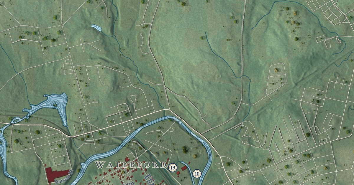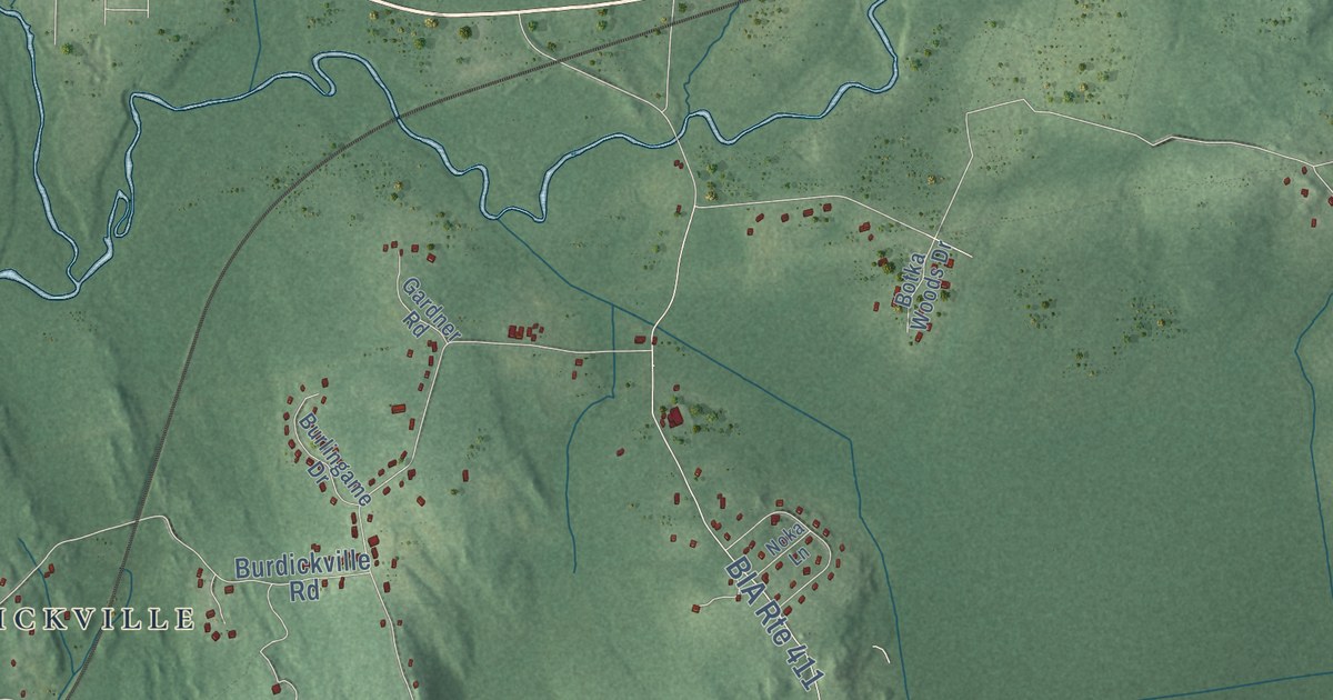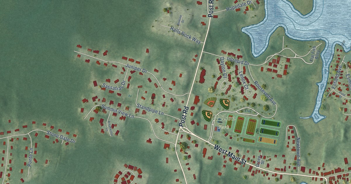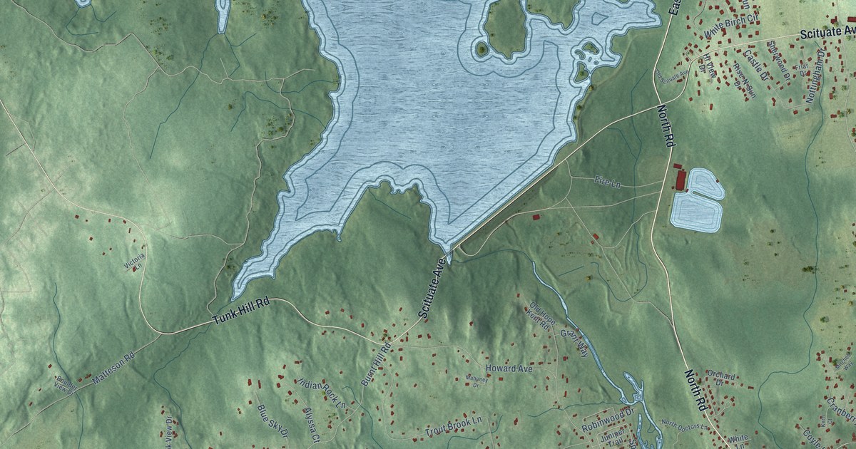
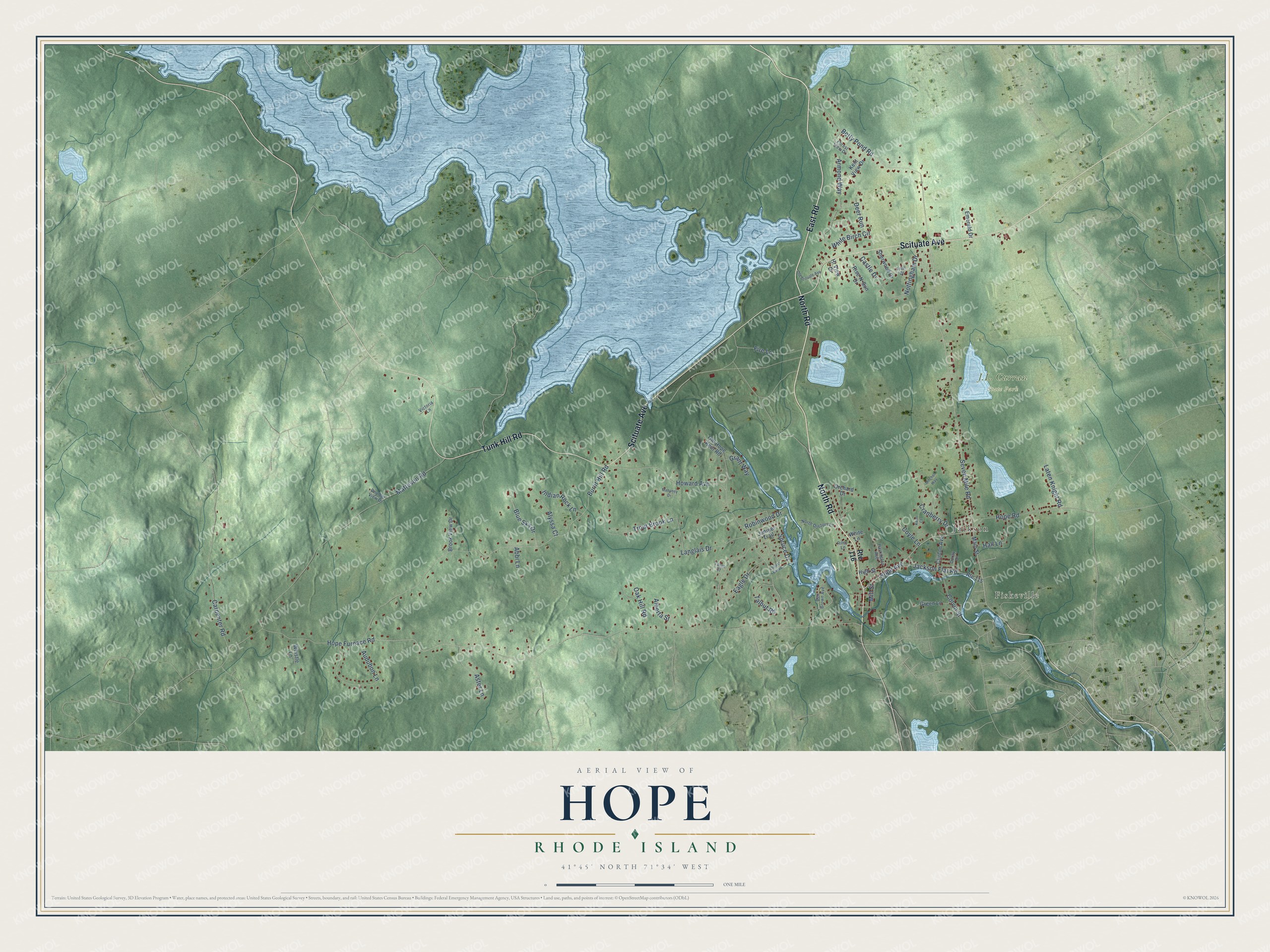
This beautifully detailed map of Hope, Rhode Island was created in 2026 using aerial imagery combined with modern topographical, census, street and landmark data. It’s a one-of-a-kind view of Hope that combines accurate data with a vintage aesthetic. The map shows every building in its true location, many of the roads carry their names, and the shaded topographic relief shows the shape of the land.
Explore an aerial view of Hope, Rhode Island
On the map you’ll find Fiskeville and Jackson, along with North Road, East Road, Scituate Avenue, Tunk Hill Road, Hope Avenue, Hope Furnace Road, Spruce Drive, Seven Mile Road, Burnt Hill Road, Fire Lane, and more. If you look closely you can even find your house accurately drawn in its correct location. Zoom in on the preview to look for yours.
Did You Know?
From Internet Archive: "The Lonsdale Ann and Hope Mill had for several years been running three hours a week less than the majority of Rhode Isl-and mills, without experiencing any financial loss."
Hope is a community in Providence County.
Take a closer look at the Hope map
Names on this map
These names are printed on this map.
Places: Fiskeville, J.L. Curran State Park and Jackson.
Streets and roads: North Road, East Road, Scituate Avenue, Tunk Hill Road, Hope Avenue, Hope Furnace Road, Spruce Drive, Seven Mile Road, Burnt Hill Road, Fire Lane, Matteson Road, Howard Avenue.
More street names, A to Z
Abbi Lane, Alberta Street, Alyssa Court, Armond Way, Aster Lane, Audubon Lane, Ben Brown Avenue, Betty Pond Road, Blue Sky Drive, Boulder View Drive, Brook View Drive, Carpenter Road, Castle Drive, Clinton Avenue, Colvin Street, Coyle Lane, Cranberry Drive, Deer Run, Doray Drive, Eagle Drive, Emerald Drive, Forest View Drive, Friar Drive, Grant Way, Green Lane, Hall Lane, Harrington Avenue, High Street, Hi View Drive, Hope Road, Indian Rock Lane, Jackson Flat Road, Juniper Trail, Kent View Drive, Kerri Court, Langlais Drive, Laten Knight Road, Locust Grove, Mahoney Drive, Main Street, Mill Street, Mitchell Way, North Doctors Lane, Nottingham Drive, Oak Hill Road, Old Hope Kent Road, Old Scituate Avenue, Orchard Drive, Riley Lane, Rise-N-Sun Drive, Robinwood Drive, Route 115, Route 116, Sherwood Drive, Talbut Road, Talon Court, Trout Brook Lane, Victoria Lane, Whistle Lane, White Birch Circle, White Lane.
See it on a wall
The Hope map as a framed print. Swipe for more.


This beautifully detailed map of Hope makes an attractive addition to your office, library, or den, and it can even be used to teach children the geography and history of the area. It also makes a great gift for someone who left Hope and still calls it home. When you’re done exploring, click here to get your copy of the Hope map.