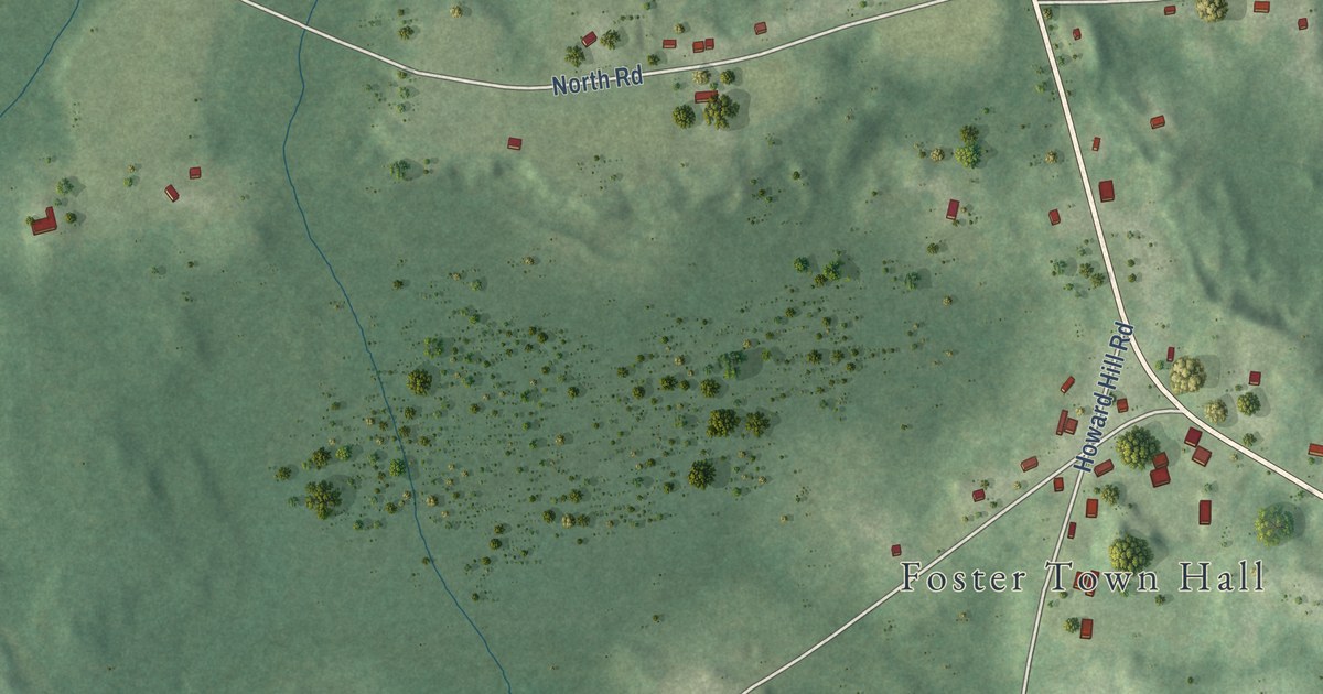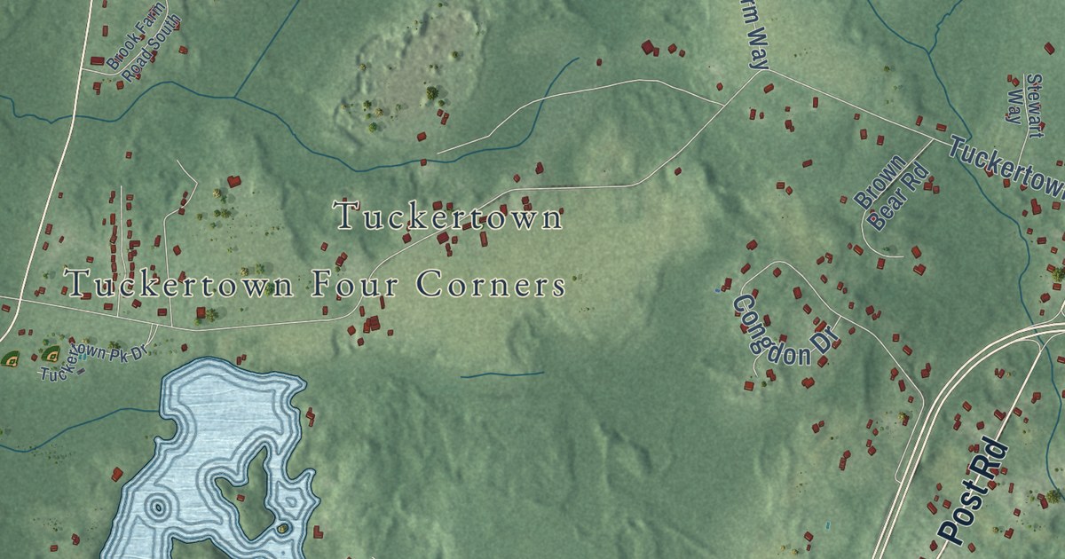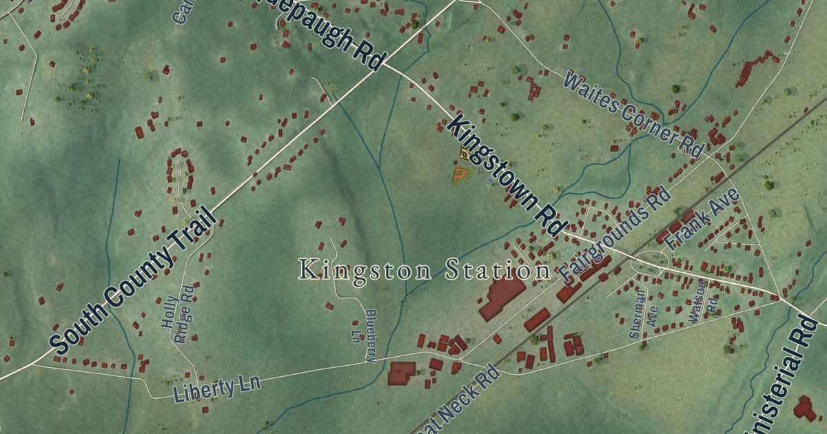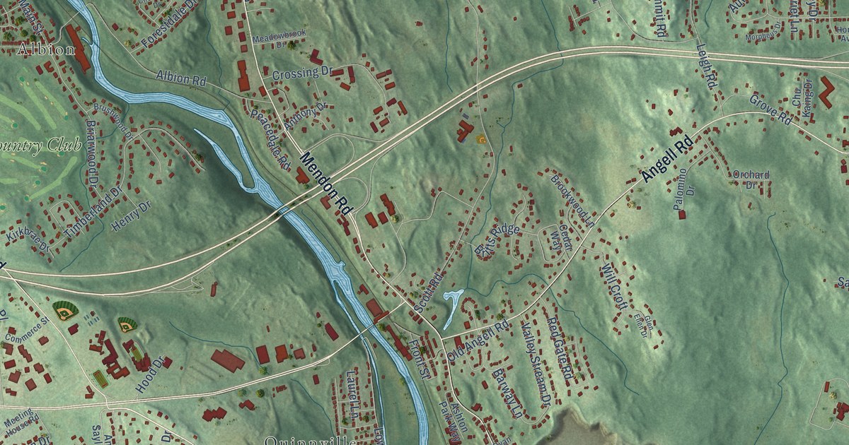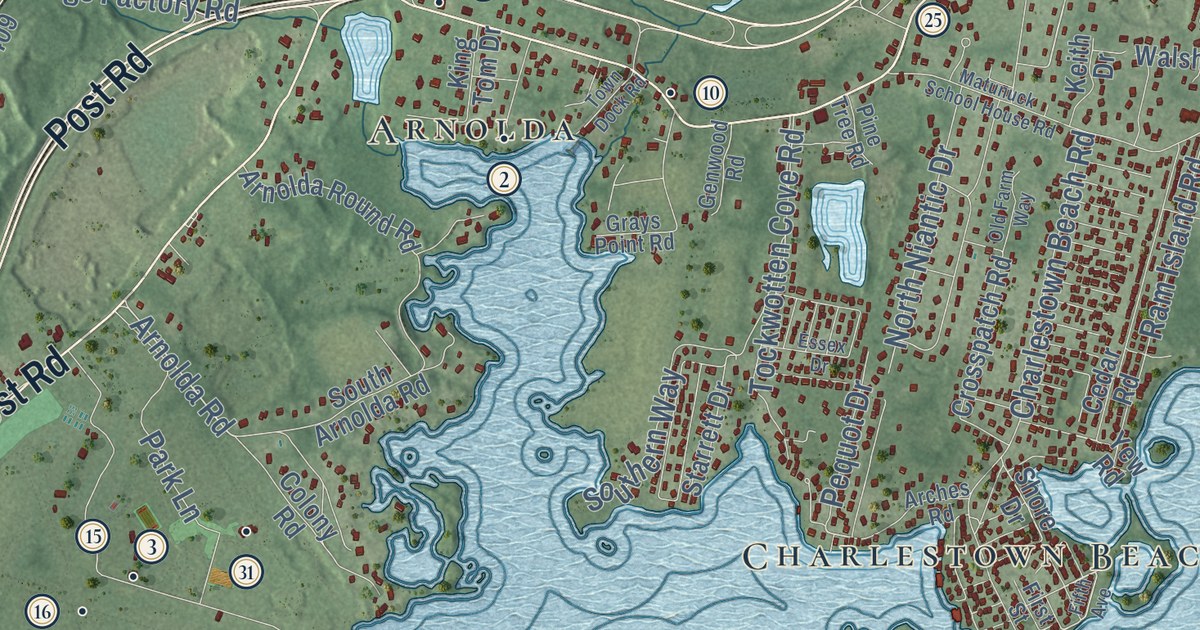
This beautifully detailed map of Charlestown, Rhode Island was created in 2026 using aerial imagery combined with modern topographical, census, street and landmark data. It’s a one-of-a-kind view of Charlestown that combines accurate data with a vintage aesthetic. The map shows every building in its true location, many of the roads carry their names, and the shaded topographic relief shows the shape of the land.
See the Charlestown, Rhode Island map on a wall
The Charlestown map as an 18 x 24 inch print in a black frame.

Explore an aerial view of Charlestown, Rhode Island
On the map you’ll find Charlestown Town Hall, Carolina, Brudickville, Charlestown Beach, Kenyon, Arnolda, Shady Harbor, Quonochontaug, Columbia Heights, and Shannock, along with Old Post Road, Post Road, and more. If you look closely you can even find your house accurately drawn in its correct location. Zoom in on the preview to look for yours.
Did you know this piece of Charlestown, Rhode Island history?
Charlestown was named for King Charles II of England. After years of debate, it split off from Westerly and became a town in 1738. In 1747 Richmond broke away from Charlestown and became a separate town.
Take a closer look at the Charlestown map
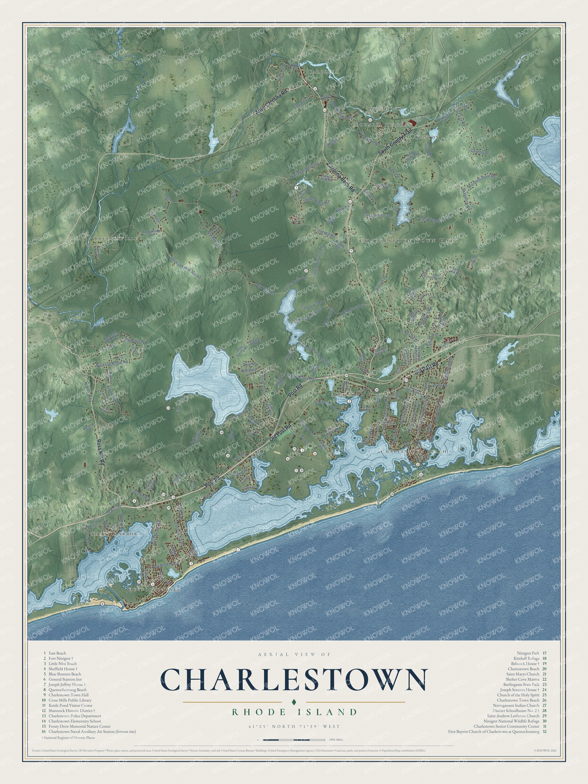
Click to explore a larger preview. The digital watermark does not appear on printed maps.
Street and place names on the Charlestown, Rhode Island map
These names are printed on the map of Charlestown, Rhode Island.
Places: Charlestown Town Hall, Carolina, Brudickville, Charlestown Beach, Kenyon, Arnolda, Shady Harbor, Quonochontaug, Columbia Heights and Shannock.
Streets and roads: Old Post Road, Post Road, South County Trail, Carolina Back Road, Ross Hill Road, Alton Carolina Road, West Beach Road, Indian Church Road, Arnolda Road, Kings Factory Road, BIA Route 411, Shannock Road.
More street names, A to Z
Arbutus Trail, Arches Road, Arnolda Round Road, Attuk Road, Auburn Drive, BIA Route 301, BIA Route 303, BIA Route 309, BIA Route 311, BIA Route 401.2, BIA Route 402, BIA Route 406, BIA Route 408, BIA Route 409, Biscuit City Road, Black Pond Road, Blue Ridge Drive, Botka Drive, Botka Woods Drive, Buckeye Brook Road, Burdickville Road, Burlingame Drive, Burlingame Park Road, Burlingame State Park Road, Butter Lane, Camp Davis Road, Castlerock Drive, Cedar Meadows, Cedar Road, Cedar Swamp Path, Charles Avenue, Charlestown Beach Road, Cherokee Bend, Clarkin Pond Road, Colony Road, Cool Spring Road, Country Drive, Cove Drive, Cove Point Road West, Crossland Street, Crosspatch Road, Deep Pond Access Road, Deer Run, Driftwood Drive, Duhamel Avenue, East Beach Road, East Pasquiset Trail, East Quail Run, Edwards Lane, Elizabeth Cooper Drive, Essex Drive, Fawn Circle, Fifth Avenue, First Street, Fish Camp Road, Foster Drive, Foxtrot Drive, Gardner Road, General Stanton Lane, Genwood Road, Grays Point Road, Healey Brook Drive, Hill Top Drive, Hoxie Avenue, Indian Trail, Keith Drive, Kickapoo Run, King Tom Drive, Klondike Road, Lady Slipper Drive, Lakeside Drive, Laurel Road, Lauri Drive, Liisa Drive, Lynn Road, Maize Drive, Maple Lake Farm Road, Matunuck School House Road, Meadow Lane, Midland Road, Mohawk Trail, Montauk Road, Mosena Drive, Narragansett Trail, Narrow Lane, New Biscuit City Road, Niantic Highway, Ninigret Avenue, Noka Lane, North Niantic Drive, Oak Ridge Road, Ocean Ridge Drive, Old Coach Road, Old Farm Way, Old Mill Road, Old Road, Old Shannock Road, Oyster Drive, Park Lane, Pasquisett Trail, Peckham Hollow Road, Pequot Drive, Pietila Road, Pine Tree Road, Pond Meadow Road, Potter Hoxie Trail, Powaget Avenue, Prosser Trail, Quail Lane, Railroad Avenue, Ram Island Road, Ridgewood Road, Riidam Way, Rose Court, Sanctuary Road, Sand Hill Road, Sand Plain Road, Scapa Flow Road, School House Pond Road, Sea Breeze Avenue, Sea View Drive, Shady Harbor Drive, Shirley Drive, Shore Drive, Shumankanuc Hill Road, South Arnolda Road, Southern Way, Starrett Drive, Stillwater Road, Sunset Drive, Timber Ridge Road, Tockwotten Cove Road, Town Dock Road, Tunoopa Trail, Walsh Road, Warren Road, Watchaug Lane, West Willow Lane, White Pines Trail, Wiitala Drive, Wordens Pond Road, Yew Road.
This beautifully detailed map of Charlestown makes an attractive addition to your office, library, or den, and it can even be used to teach children the geography and history of the area. It also makes a great gift for someone who left Charlestown and still calls it home. When you’re done exploring, click here to get your copy of the Charlestown map.